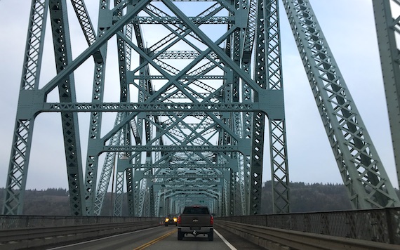
Photo taken last December.
This bridge crosses the mighty Columbia at Longview, and is the second bridge upstream, at 66 miles from the mouth. Its drainage basin is about the size of France, so you know there’s a serious flow.
At some point today I was thinking about rivers and borders. Even small creeks can be borders, I guess in part because in pre-satellite days, most anyone could tell which bank of the river they were on. If that makes sense.
Of course, for its lower miles, the Columbia is designated the border between the USA states of Washington and Oregon.
20 August 2017 at 9:21 am
Pooh says:
The Mississippi River is a border between many states, but sometimes it shifts its course, leaving a wee bit of one state on the wrong side.
https://www.bing.com/images/search?view=detailV2&ccid=qgcOEgZp&id=2A4A89ED5BE0CCC7AA69CEC761E8BDD1244ED6A5&thid=OIP.qgcOEgZps8kz8WQ3DTX_DADREs&q=Political+Map+of+Mississippi+River&simid=608024318321232119&selectedIndex=14&ajaxhist=0