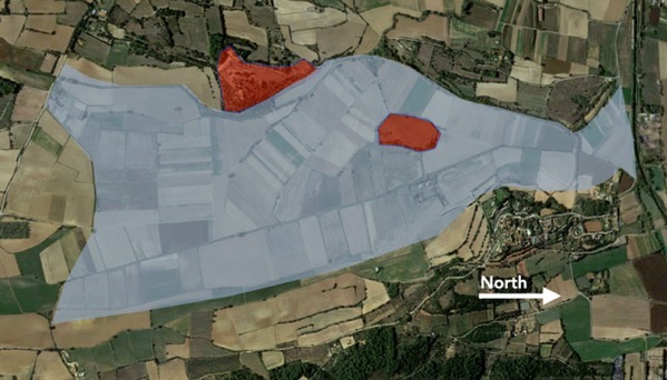
Here’s another pair of settlements, the west one on a hill and heavily fortified with tall walls of large stone blocks, and another on an island in a lake. Both were occupied from the 6th–5th Cs BC (so: Iron Age), thriving even when the Greeks settled at Emporion (see yesterday). Indeed, the walled site was a regional capital, with perhaps 6,000 residents, large grain stores and an active trade with the Greeks in luxury goods. Archaeologists know far less about the island settlement, and it is not open to the public, so I know even less. The Romans conquered the territory at about the end of the 3rd C BC, and these settlements were abandoned in the 2nd C BC.
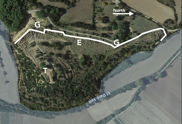
The layout of the capital is interesting, with the lake to the east and south, and a major wall along the other sides. I’ve drawn in the wall, and the bumps along it are large, round towers plus two angular ones. “G” means gate. We entered the South Gate, and outside it is a deep moat. “T” indicates a pair of temples that were built on the summit of the hill. “E” is an elite domestic complex, huge, and it has produced most of the fancy, expensive goods found at the site. The name archaeologists use for this site is Ullastret, which is the nearest town, and no relation the name its residents used.
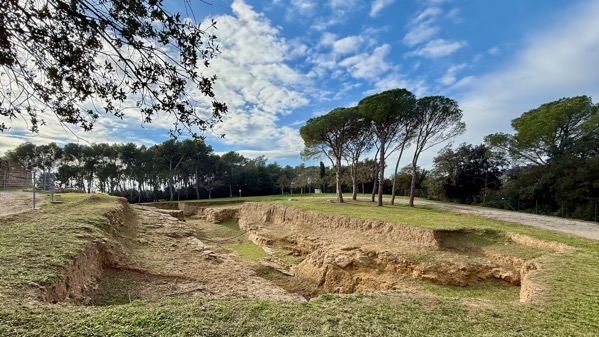
Ditch outside south gate, view south.
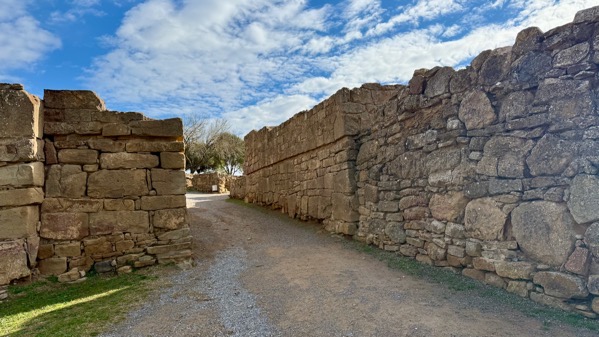
South gate, view east, looking into settlement.
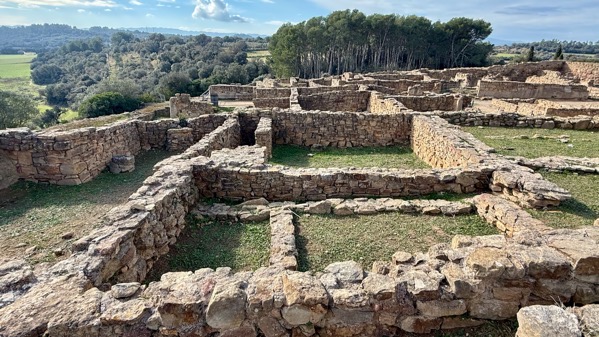
Houses in the southwest part of the site.

Archaeologists call these silos, which makes sense as they are round and were for storing grain. Only the bases, which were excavated into bedrock are visible now. When used, they had conical tops with a small opening at the peak made of a mixture of mortar and ground discarded terra cotta. They were lined with the same mixture, and apparently totally sealed when finished. What surprised me is they were not reused—I hypothesize it’s because they couldn’t be properly sealed again.
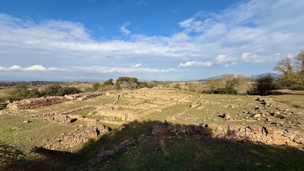
The left half of this area is the elite complex. It had its own small gate through the defensive wall. The interpretation is that it was used by a large family unit. I don’t know any of the details of what archaeologists found here, but I keep thinking it may have been an area used by a guild of traders—but were there such groups?
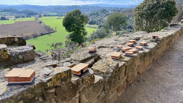
Plopped on the hilltop, obliterating one of the temples, is a church that is now a museum. Today a student group was making house models with glue and blocks and cork roofs.
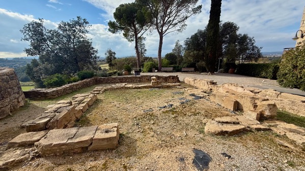
Here’s the foundation outline of the surviving temple. It seemed pretty good-sized to me.
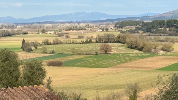
That almost complete circle of trees is the island. Imagine this view when the lake still spread around it.
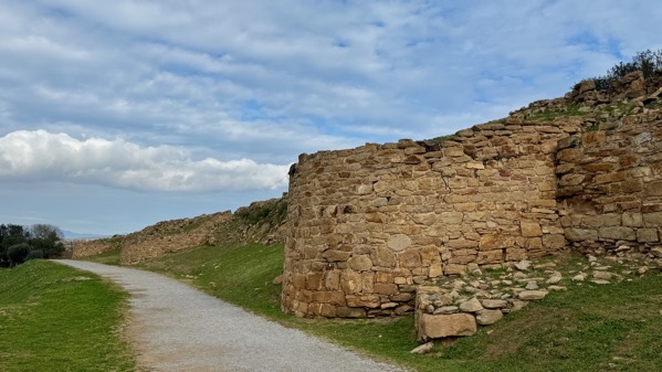
View north along the outside of the towers. Formidable.
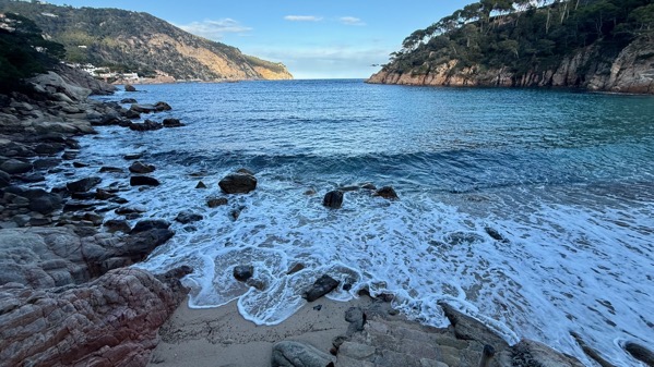
Not yet high tide on the beach near our hotel—I’m guessing as the rack line is still dry.
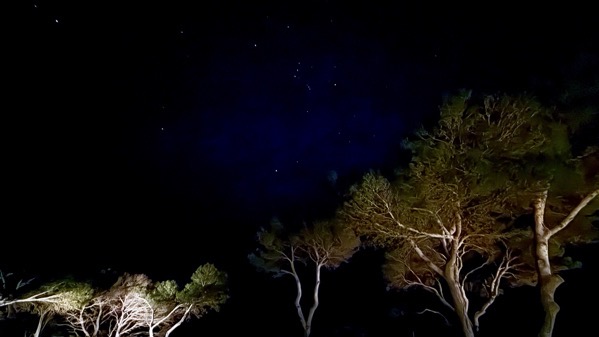
Three-second exposure from our balcony a few minutes ago: that’s Orion in the middle…I hope the resolution isn’t so hammered it erases him! [Zooming will help.]