
Picture this: you’re driving through this town, and you know from the map that ahead of you is the confluence of locally major rivers. In your mind’s eye, when you crest the ridge, you will see a Y of rivers, the two coming in and the one flowing out. Maybe there’ll be some parkland right along the edges, even. And maybe there’ll be a fisherperson or two casting into the water.
Pah. No. This is the US of A’s northeast. Rivers were highways, and instead of being rimmed with recreation areas, in cities they were Important to the City’s Business. You’d think.
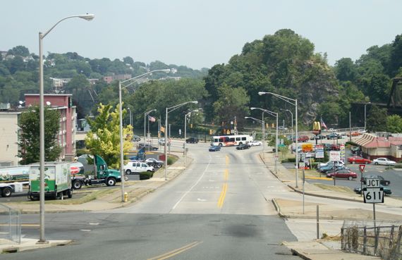
We whizzed along, no time to stop, but this confluence, from my view eastbound in Easton, then a right at the bus, got me confused. Far right is the railroad bridge. Then the Mickeys, and then, to the left, business as usual. Where is confluence-centric construction and space? Maybe hidden behind those trees?
12 July 2010 at 7:58 am
kayak woman says:
And so many rivers have been routed underground and things like that. I mean, probably not these rivers, but they have done that on The Planet Ann Arbor, many years before I lived there, so who knows what it used to look like…