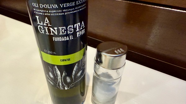
On the table as we sat down to breakfast: salt and olive oil. This is (drip-line irrigated) olive orchard country, and there are plenty of new terraces being built and planted. The development seems to be by multi-national agribusinesses, not small-holders.
It’s 10am, and the sun’s too high for a sunshine slow-down.
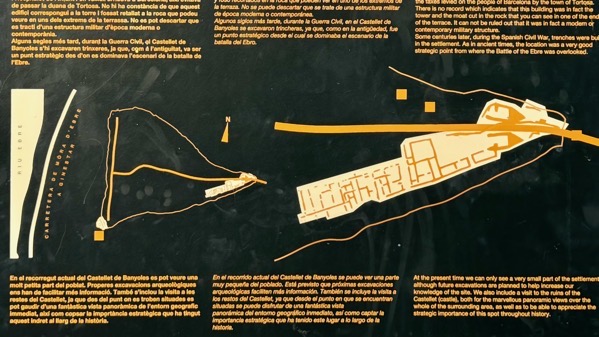
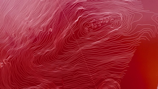
The map on the left shows the Ebro River, flowing north-to-south on the far left. The site, called Castellet de Banyoles (Tivissa), is triangular, with the only foot access from the right as there are cliffs elsewhere. The right map is an enlargement of the fortified entrance there (see next photo).
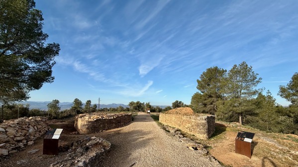
Those two points facing us are the rebuilt bases of two large pentagonal towers that totally controlled access to this ~4.4 ha city.
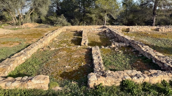
Here’s one residential compound, two rooms wide and three deep, with the doorway in the front. Often with such a layout, the innermost room was where people kept their valuables, food, etc., so that visitors could be permitted only in the front/reception room, and remain ignorant of the family’s wealth.
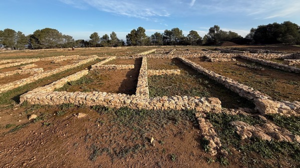
Here’s another compound, two very long rooms deep, and two wide.
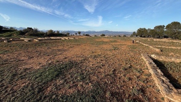
This very wide open area functioned as a broad street between dwellings left and right. Despite all this construction (I haven’t mentioned the effective sewage system for the whole city), this settlement was built in the 4th C BC, and was wealthy, probably producing Iberian drachmae coins, imitating types from the Greek city of Emporion, far northeast of here on the Mediterranean. Excavations recovered luxury goods of gold and silver (including earrings, bowls, plates and bracelets), pieces of lead bearing Iberian script, and significant traces of metallurgical activity. The Romans burned/destroyed the settlement about 200 BC, probably in connection with indigenous revolts, although there is some evidence of reoccupation. Recent fieldwork has found Roman-period items east of the fortifications, which point to a Roman camp having been established there.
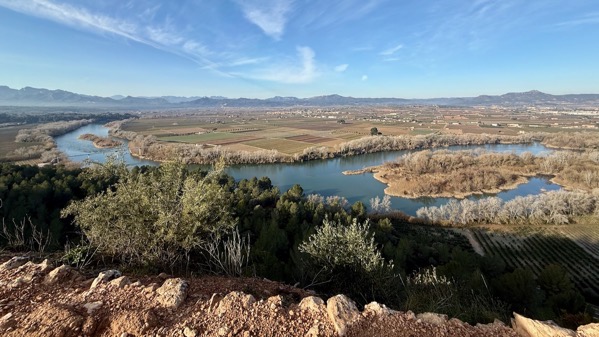
Over the wall to the west, a bend of the Ebro was below, and the arable land that this city controlled, too.
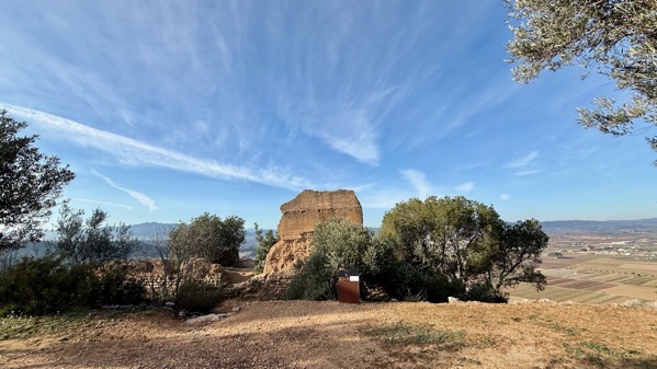
Here’s the southwest lookout tower base, visible in the map.
Our second site today was totally different. It’s on a tiny, narrow landform, and overlooks a small tributary of the Ebro, so it is not in the main valley. The settlement was far earlier than Castellet. It’s called Puig Roig (red hill in Catalan—from the rock substrate, not the sign!), and dates to the the ninth and eighth centuries BC.
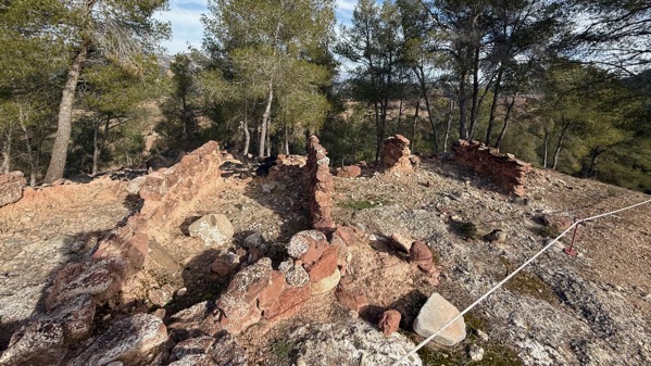
These walls are not even 2m apart; these were much smaller rooms.
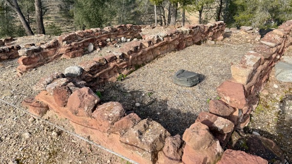
These are the largest rooms I saw….
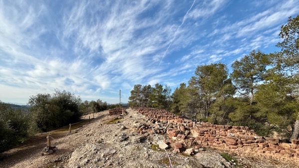
Here’s the central street, not quite two meters wide. During occupation, I’m sure it was more level than at present.

Generic mountain drive view, 12:30 pm.
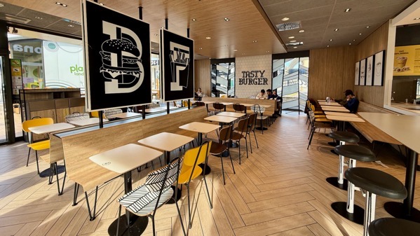
Look what JCB found! Don’t recognize this “Tasty Burger” place? It’s a Mickey’s! [Part of the Playland sign is visible, left.]
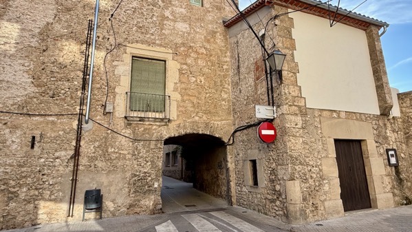
We checked into our hotel and made a paseo (walk). Here’s a perimeter entry, now only one-way for vehicles. [And rightly so!]
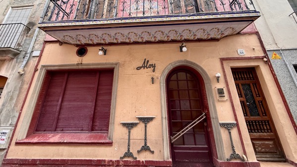
This town is called Capellades, and is famous for making paper of cotton/linen rags plus hemp, including for cigarettes and currency. Look at the detail on the bottom of the balcony floor! We stopped here because of Abric Romaní, a rockshelter in the Quaternary travertine cliff formation (called Cinglera del Capello) that forms the east edge of the town. Excavations from the multi-meter deep deposits recovered important information on Neanderthal lifeways in the area, with dates to the Late Middle Paleolithic, and the oldest layers dating to ~56,000 yrs ago. Only the top layer (Layer A) dates to the Upper Paleolithic and has Aurignacian artifacts indicating human use. Open hours are scanty, so we’ll look at the cliff setting and move on.