A wee bit of scientific data: the sun indeed rose again today.

For today’s adventure, we drove north. I saw these fields before, and thought: rice. This is now confirmed. Rice. Good for cazuela cooking, like paella (a specialty of Valencia, way south of here, as I understand it), but there are other regional dishes using the same or similar shallow, flat-bottomed, metal pans.

We have also been seeing these plantations, and I now think most are apples, although some may be pears or similar. The orange orbs are I think insect traps. The black lines on top are folded shade cloths.

Our main stop was huge—the Ciutadella walls etc. were ordered by Charles V, Holy Roman Emperor, in 1543. Its on the north shore of the Bay of Roses. However, this fine location on a good harbor was settled by Greeks, and I suspect had earlier inhabitants. The Greeks called their settlement(s) here Rhode. To decode: the red G means Greek structures. The aqua R means Roman. The yellow means Medieval, and MC is the Medieval church. Some of this is later than Medieval and un-labelled. These are the parts that are very visible and/or most interested me.

The encircling wall is massive.

The marked rivers/creeks are approximately how they were in Greek times, and this is the Greek settlement area to the right/east of the “right” creek. The shoreline at the time was inside of what later became the Ciutadella wall. When it was built, seawater lapped the south wall base.

Here’re Roman foundations. There’s no difference to my eye between Greek and Roman here—similar scales.

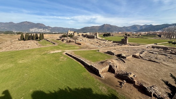
On the west side of the interior of the Ciutadella, this view is north toward the Medieval Church, a major street that had buildings lining both sides.

This bird’s eye(ish) view is from a tower in the northwestern part of the southwest corner.

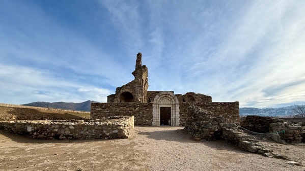
Perhaps you can tell from the previous two photos that the church is on a hill. It also had Greek buildings, and archaeology shows they occupied at least three places along the northern arc of the Bay of Roses.

Homework: create your own caption….

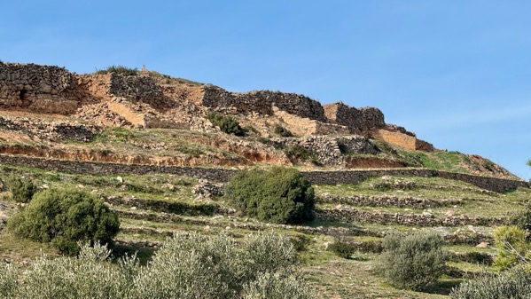
Moving on…. That hilltop above the scrub is the ruins of a Visigothic fortification, dating to the 7th and 8th C AD. It’s called Puig Rom and does have good views of the Bay of Roses, not shown in any of these photos. The word puig is Catalan, and it’s tough to pronounce…it’s something like poo-ee-[th], but the [th] has an almost guttural aspect.

Puig Rom has an encircling wall with only one gate/break in the wall (center). Houses have been exposed inside the wall about ¾ of the way around.

On this side, there are also houses outside the wall. The other sides are rather steep, but there are narrow terraces, so they may have house foundations.

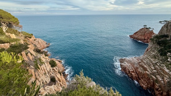
And, we returned to our oasis by the sea…always the sea….
22 January 2025 at 12:43 pm
Diane Kirkland says:
Looks so interesting….just civilizations build on top of earlier civilizations, huh? Guess all conditions were ideal there and a readily available supply of stones.
Back on the home front, more snow! Not much in Atlanta but enough to wreak havoc on the roads and the airport. Interestingly, the southern sections of Alabama and Georgia got LOTS of snow…..friends in Pensacola reported 8 inches. The weather folks called it the upside down storm. Enjoy sunny (warm?) Spain.
22 January 2025 at 1:43 pm
Sammy says:
People tend to like the same spots, and continue to use or reuse them….
I read 8 inches at the New Orleans airport, too! Sounds impossible, but I know it’s true! Stay safe and warm!
Not particularly warm here; after all it’s winter! It’s pleasant enough if the sun is out and it’s not too windy. So far, mostly we’ve had sunny, so all good!
22 January 2025 at 10:05 pm
Maureen Meyers says:
Caption: “Hmmm….now, do I draw in the outhouse or not?”