
Today’s goal is to go southeast, crossing a major pass, then turning south toward Tena and Río Napo (~1300 feet was our lowest point), on the west edge of Amazonia. We’re climbing away from the greater Quito metro area. I noticed these large rolls of steel(?) on this truck. Little did we know that we’d be amidst many of these trucks Quito-bound from Amazonia. I do not know where the metal was mined or processed.

I loved watching the clouds “sitting” on the ridges and peaks. The road markings are warning drivers to slow, this time for a sharp curve.

And, of course, the clouds mean waterfalls below.
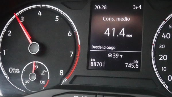
And with the increasing elevation, the temperature drops. Significantly.

Crossing Paso Papallacta, all evidence indicates we got up to 13,330 feet. Plus or minus. Breathe deeply.

Also, watch out for spectacled bears (Tremarctos ornatus). Ecuadoreans often mentioned seeing them; however, I don’t know if they were wild and free.

We descended far enough to encounter homes and agricultural undertakings, complete with places to stop and eat.
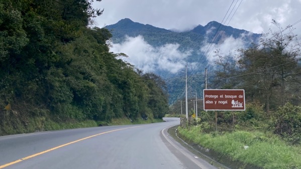
Clouds are now above us. Sign urges protecting alders and nut trees.
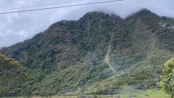
Again, that persistent cloud layer engenders landslides and waterfalls.

Shown here…but the road is open! And navigable in a mediocre rental car.
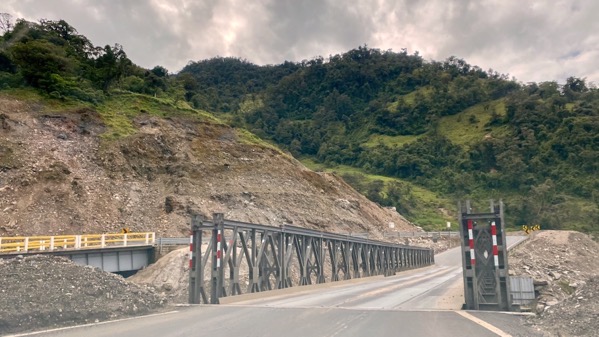
I’m guessing the regular bridge is left, and we were sent across a “temporary” bridge. Speculation.
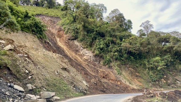
Fresh landslide, perhaps two days ago, but not last night.

Horse grazing roadside. Ditch and vegetation clearing crew ahead.
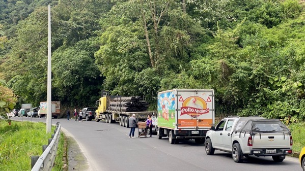
We encountered stopped traffic. An official came by and said there was a bad accident ahead, and it’d be two hours before we could continue.

Our car was stopped with the rear wheels on a bridge over Río Quijos. I could step out and get a great shot, not through the windshield.
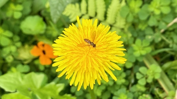
And also find flowers to photograph. We were very lucky. In perhaps forty-five minutes we heard a whooping and whistles, and drivers dove into their vehicles. We do not know why down-bound traffic got to go first.
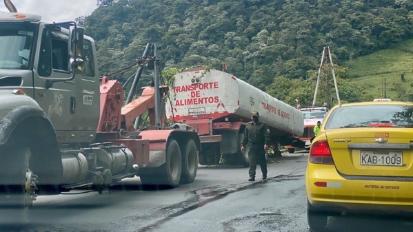
Soon, we saw some of the accident remains. This was on the left. Note the vegetation on top of the tank; it must have rolled. On the right (no photo) was a dually axle. Note the two huge wreckers. Not sure what happened, but it was awful. Not far down the road, we entered a busy town, and the first sign I saw was gruas, that is: wreckers.

We descended and the terrain became much flatter, and the temperature rose (eventually to 88°F).

Another ridge to cross. Glad we don’t have to go straight.
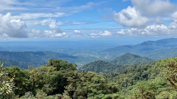
And an overlook: mirador. Not complete Amazonia flatness, but close enough for these two first-time visitors to South America.

We weren’t too happy with the defective metal decking plates on this bridge over the Río Ñachi Yacu.

Note the frond roofing; different plants grow here in numbers. And the tire atop the circular structure and sheet plastic on the others.

We roll into Tena and find it busy with locals, non-locals, and a wide variety of commercial activity. This town is humming.

And someone had the money and will to build a green-glassed building on a busy corner.

We crossed the new bridge over the Río Napo.

Río Napo’s headwaters are from the flanks of Volcán Cotopaxi and other mountains, It flows 668 mi before joining the Amazon. Clearly, it’s capable of carrying lots more water here, yet is plenty wide today.

We recrossed the river on the old, one-lane bridge.

We are even less happy crossing the Río Ñachi Yacu bridge northbound, closer to the branches and flagging tape.

Aha, here’s the other part of the accident vehicle. We had no clues on why the vehicle rolled.

We took a side trip on a loop through Papallacta, as we’d heard so much about the thermal baths there. Here’s the hotel by the spa and other facilities. Looks special. We did not stop to bathe.

Northbound, we could take the old road out of town (one way), and saw this, Laguna Papallacta. It’s clearly a reservoir, and there was no power generation facility. I speculate it’s to protect the town, which isjust downstream.
There was more rain as we reached the higher elevations. Otherwise, the trip back to the hotel was a version of what I’ve already portrayed.
A fabulous day.