
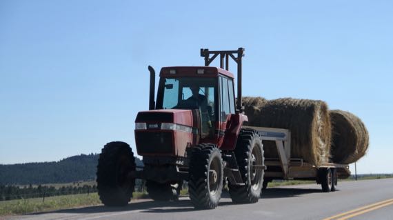
A little agriculture…lots of irrigation around here, not all productive row-crop fields, but most, it seems to me. And the product must move to the consumption area. Not many alternate farm roads, so we travel the US highways with tractors and combines….
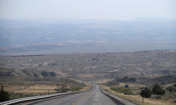
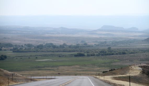
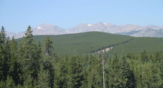
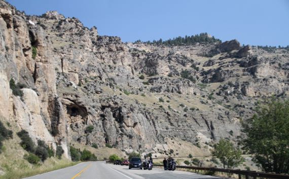
Three long views…different colors. The third is the heights of the southern Bighorn range. Note the surviving snowpack, in the last half of AUGUST, kids.
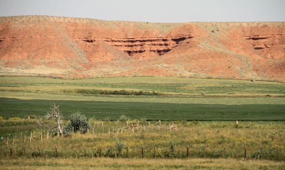
Midground color variation…red/green (not the man/show), and the grey rocks of the cliffs on one flank of the Bighorns.
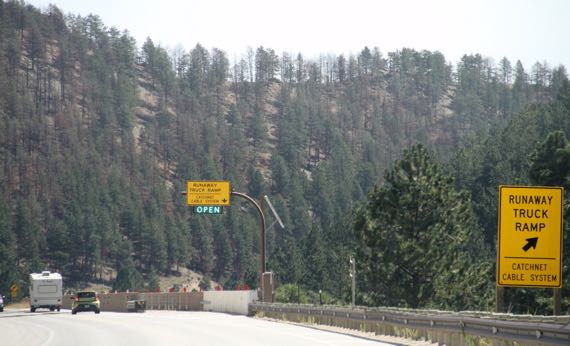
I didn’t check it, but the crossing from Ten Sleep to Buffalo seemed to have long, grinding climbs/descents, just as we found east of Greybull. I don’t know if they were 10 miles, but they are close. This runaway truck ramp, really some cable-gates, I thought, is on the descent into Buffalo. (Will they change their name to Bison? Is there even a movement afoot?)
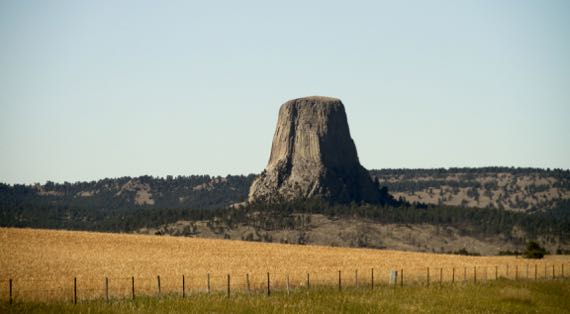
Aha. And the geology. An igneous island amidst eroding sedimentary formations. Or the twenty-second wonder of the world, something like that.
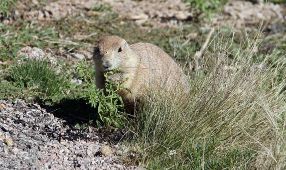
Despite the many signs in the parking lot and along the trails below Devils Tower preaching sensitivity to this place that is sacred to many indigenous Americans, as in, they wish you wouldn’t climb it, the splash page on the NatPkServ website is all about what a wonderful climb it is. Doesn’t even mention the deer, turkeys (no photo), and prairie dogs you may see.
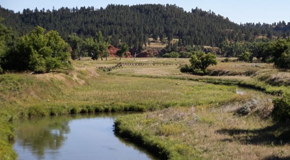
And this deer, in the low ground inside the bend of the river…better photo than the one we saw at DT, and a pretty river to boot!
And now my back posts are caught up! Yay for connectivity and energy…in conjunction. Thanks for waiting for me, Gentle Reader.