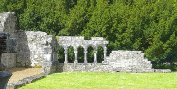
Another day, another religious complex in ruins. Here’s one corner of the cloister interior at Cong Abbey. The Irish is Cúnga Fheichín, meaning St Féchín’s narrows. The narrows refer to the river, I’m guessing. The waterways around the abbey go underground and appear braided. Complex, anyway.
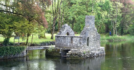
This “fish house” is an unusual surviving monastery feature. My understanding is that the underneath had a net hung inside it, and the fish were retrieved through a trap door in the floor. The area around Cong is where “The Quiet Man” (1952) was filmed–John Wayne and Maureen O’Hara.
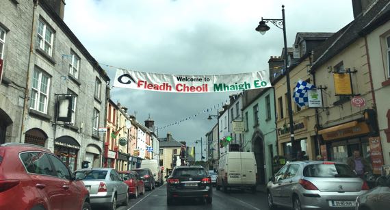
This banner over the street in Ballinrobe says: Welcome to (you got that part, I’m sure) Music Festival Mayo. Mayo is two words in Irish—Mhaigh Eo—which means yew trees, and yew trees are loaded with sacred qualities, very special. Oak trees, too.
Lots of place-names begin Bally– or Balli– like this. The Irish is Baile and it means town, although GooTranslate indicates it means home, also. Interesting cultural implications of that.
Also, place-names that end in –more in English may be from the Irish mór, which means big. Toponyms are such fun!
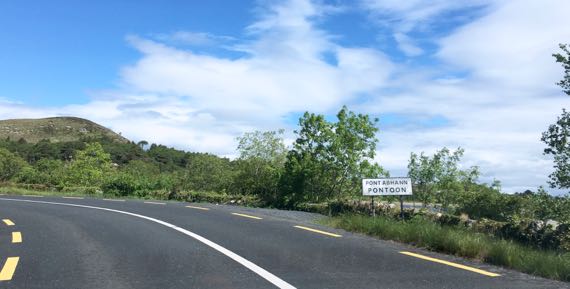
It seems the English mimics the Irish Pont Abhann in some abstract way, as Abhann means river/fluvial and has a different sound than “oon”. Another linguistic abuse by the English….
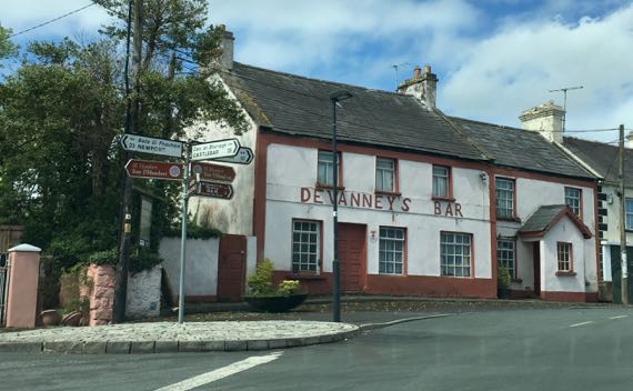
Just liked the way this looked. I couldn’t tell for sure if it is still open.
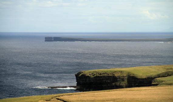
That haystack at the end of this peninsula is Dun Briste, meaning broken fort (fort in the sense that this point is naturally fortified by being almost surrounded by the sea; broken is obvious). The English name highlights something totally different; it is Downpatrick Head.
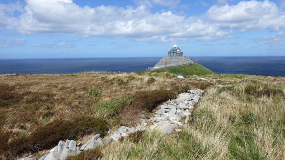
This row of stones exposed from where the peat buried it was a fence-wall thousands of years ago, built by people who cut the forest to begin farming here six millennia ago. Why did peat form here? Scientists aren’t certain, but the current hypothesis is that by cutting the trees, it changed the soil chemistry and created an iron-rich layer that kept the water table high and meant that any plants had to be tolerant of the iron-rich condition to grow, which favored heather and sphagnum and the like. They grew and died and new offspring grew in the same spots, and the moisture and repeated generations meant peat could form.
The large size of the fields and the pollen that has been identified as contemporaneous with the field walls indicate that the fields were pastures, used for cattle and not crops. Very interesting.
Can you guess that it was windy windy windy when we visited Ceíde Fields? Can you guess that is Ceíde pronounced kay-ja? Yup, no “d” at all.
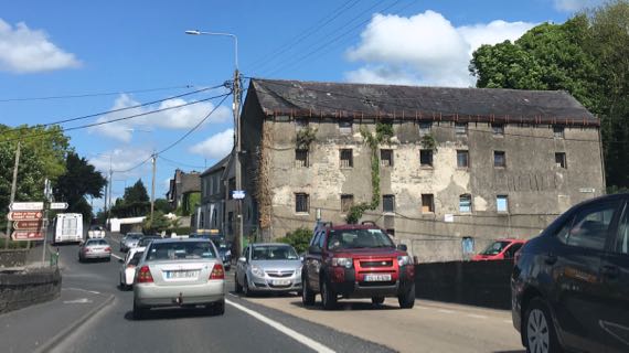
I’m pretty sure this is an abandoned factory. Not all ruins we note are darned old.
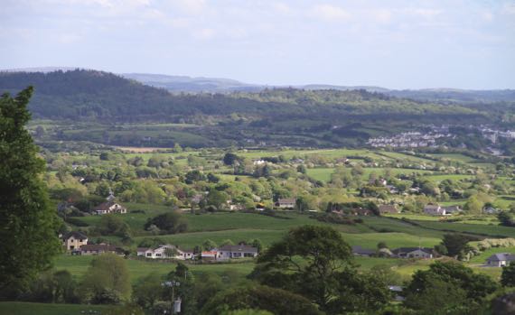
Another high view of the velveteen green, this time with more trees and houses. This is near Sligo, from the flank of the mountain called Cnoc na Riabh, meaning hill of…well, knowledgable people argue about of what. Cnoc is hill, no doubt about it. I keep trying to come up with a Cnoc-Cnoc joke….
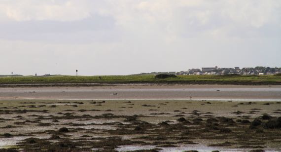
And here the tide is out in Sligo. The Irish name of the river (originally) and the town is Sligeach, meaning abundant shells, meaning the river was rich in shellfish, and maybe fish in general. Don’t know about now.