
Even before we left the B&B, we’d had sun, sprinkles, overcast, repeat. That was the pattern throughout the day. As we rolled down the road early on, we spotted a cloud sitting atop this ridge. By the time we got to the end of it, the cloud had lifted. Sunshine!
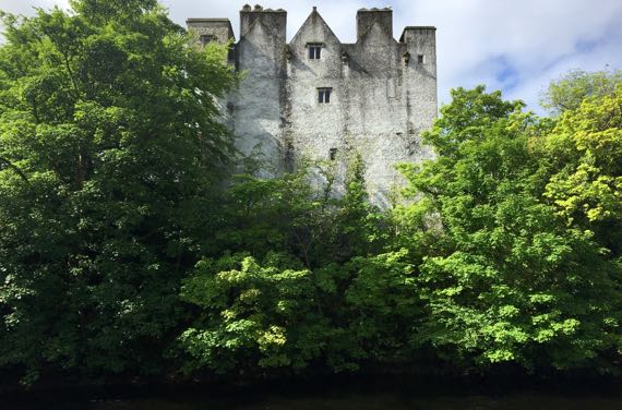
First stop: Donegal Castle. One part is 15th C; another is 17th C; the whole was refurbished in the early 1990s. For several generations this was the seat of the O’Donnell leaders. The town has encroached upon all but a small area immediately adjacent to the castle. In the foreground here is the River Eske.
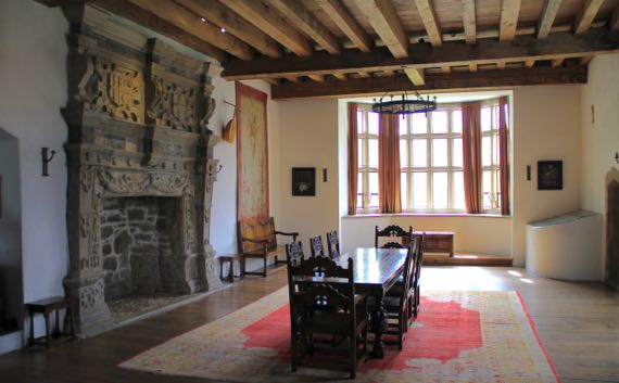
The Great Hall has been partly furnished. The fireplace surround is 16th-C, installed when the Brooke family owned the castle; they did many modifications/upgrades.
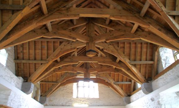
The room above the Great Hall has these fantastic beams supporting the roof. The engineering seems similar to that of covered bridges, etc.

Several days back we started seeing rhododendrons in the roadside vegetation. The Guru discovered that they’re an invasive species here. Beautiful flowers, however.

We passed by Killybegs harbor, a hive of activity on the docks, and moored boats and ships, plus sailboats. I think these two are fishing vessels, but that’s a landlubber’s hypothesis.
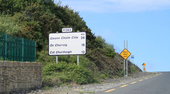
This is the first big highway sign that we noticed that did not have the English place-names paired with the Irish. Still haven’t overheard people speaking Gaelic very often.
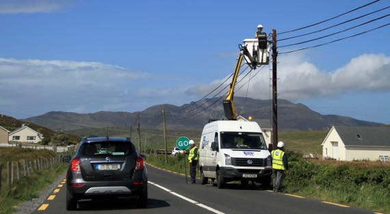
We think this is fiber-optic installation. We spotted over a dozen yellow trucks that were part of the installation crew, we thought. It will be a big change to this rural area of County Donegal. Note mountain in the background.
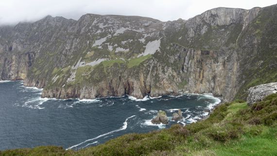
From Carrick (An Charraig on the sign above), we took a side road out to this viewpoint for the seaside cliffs of Slieve League (Irish: Sliabh Liag). These are twice as high as the famous Cliffs of Moher, at just a fuzz under 2K feet.

We returned to Carrick to turn north toward (eventually) Derry and Northern Ireland. This place is called John the Miner’s Central Bar. FYI.
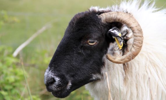
Rolling along, only a few times we’ve driven in open range. Usually, if sheep are on the road, they have escaped through the fence. I think that was the case with this one and her several buddies (not pictured).
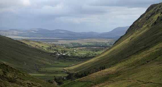
What a view as we passed down the northeast side from Glengesh Pass (translation: Glen of the Swans). Don’t those rounded flanks reek of glaciation?
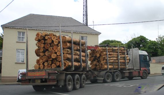
We’ve seen a few log trucks. The logs seem short compared to what we’ve seen in the USA. They come exclusively (or nearly so) from tree plantations.
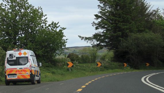
It behooves you to notice these buggies. That camera sign may look like a quaintly historic model; however, it signals a speed check/trap. They used to have installations along the roads, but now there are just vans randomly deployed. There aren’t many, as this is the second one we’ve spotted.

Droney took to the air at Grianán of Aileach, a reconstructed stone fort just west of Derry (officially Londonderry), but on a high spot in the Republic. This view is toward the southwest, so it’s all the Republic of Ireland.
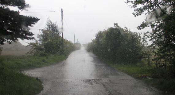
Another rainstorm hit as we crossed the international border. Can you see the change in the pavement in the foreground? That’s the border. How will it change with Brexit?
Soon, the rain had stopped and soon after that the sun was out. We have been very lucky with good weather on this trip.