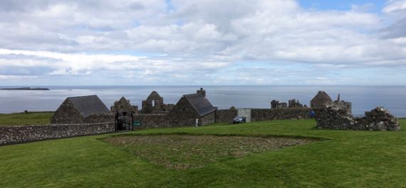
This is the inland side of a promontory fort location, very defensible. The construction here dates to the same period as Donegal Castle that we visited yesterday. Visually, it looks quite different because the stuccoing (perhaps not the technical term) is gone here and not in Donegal. Anyway, the foreground is the original cobble street, discovered below the modern sod. Around me, the photog, are archaeological remains of the village that was outside the castle. This castle, far right and distant, was built/occupied by MacQuillans and then MacDonnells, Scottish landholders and traders. The village had a substantial Scottish merchant population, numbering nearly 300. There was an earlier castle here dating to the ~1200s. I suspect there may have been an earlier occupation, too….
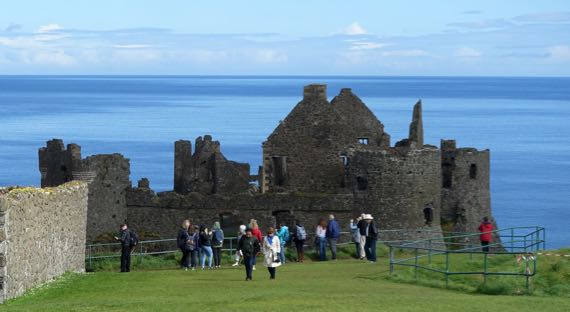
We arrived just after two big busloads of tourons. As we made our way to the ticket booth, we realized they were not entering the castle, only standing at the fence. Yay for the logic of bus-tour scheduling (?).
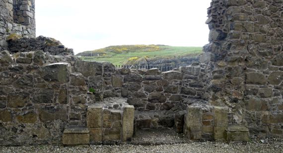
We took many detail shots of the castle and its setting. This is the remaining bottom portion of a fireplace surround, and the view through the hole in the wall of the next peninsula, covered with pasture and gorse. Strangely, it was not windy.
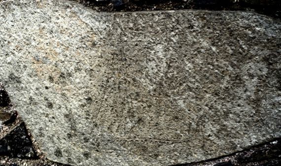
I’ve messed with the photo settings in an attempt to bring out an etching of a late medieval Scottish galley. Perhaps easiest to spot is an upright triangle, representing the sail, I think. At the bottom are a pair of horizontal lines indicating the ship, with a line of dots along the upper line. Perhaps you can see the upturned ends to the left and right.
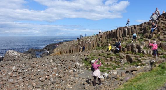
We went on east to a geological feature called Giant’s Causeway. It’s a basalt formation of hexagonal columns, broken and weathered on the tops. There are several folk tales about the formation; track them down if you like fanciful stories.
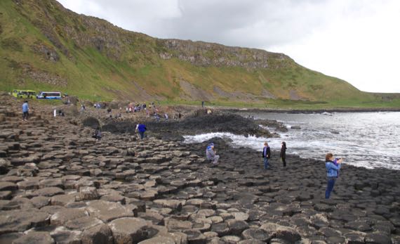
This view is back at the bus turnaround. Many people take the bus down, or more likely back (uphill). We walked both ways. My fitbit has been giving me in excess of 100 flights per day over the last 10 days; not today, unexpectedly.
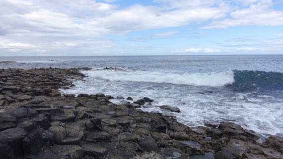
We spent some time watching the waves crash near the end of the formation, soaking in the sunshine. Just lovely.
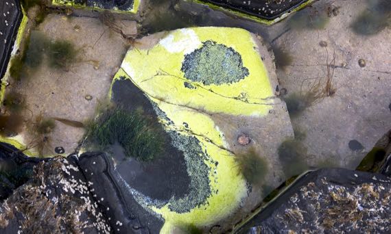
I found this tide pool with its brilliant green-yellow whatever-it-is. There are conical shells, too—barnacles? I don’t know much about sea-critters.
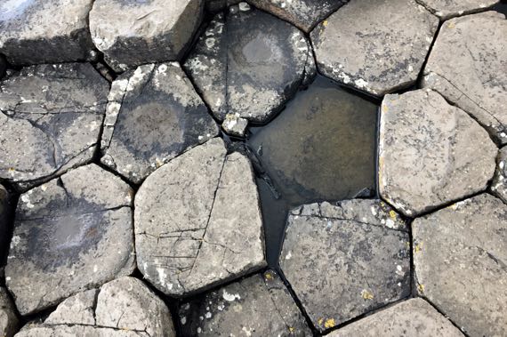
Here’s a top-down view of the columns. Love the slight distortion of the geometrics.
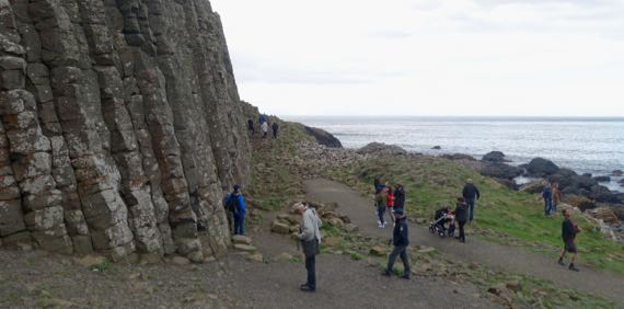
Here is a stand of the columns. So dramatic.

We spotted several dandelions along the return route to the parking lot, and even a few buttercups (I think), with flies camped out on them. In contrast, white flowers were bereft of flies. What’s the deal?
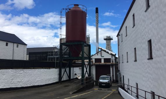
We made a quick stop at the Old Bushmills Distillery. We thought about taking the tour, but it was priced at £8/person, and we decided to pass. Even if it included a wee tasting at the end.
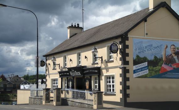
Here’s your daily pub shot. This is the Wild Duck in Portglenone. The town is on the River Bann, which connects the large freshwater lake called Lough Neagh to the sea. Vikings sailed up the Bann, and spent the winter of 840/841 at the monasteries at Antrim and Ardboe. Subsequently, they made camps other places around the lake from which they raided elsewhere in the interior of this part of the island.
19 May 2017 at 3:07 pm
Dave L says:
You should make a calendar with your daily pub shots. They all look like cozy, comfortable places. Never realized the amount of ruins on the “Emerald Isle”.