Transition up down and north
Monday, 27 March 2023

We were high enough and north enough getting up in Winnemucca that we had heavy frost on the vehicle. Fortunately, the sun fast-melted it.

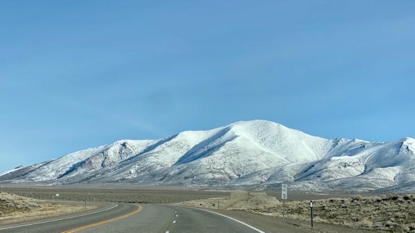
Out of town northbound the road was dry (and it was all day—yay!), although we could see relatively fresh snow above, and sometimes melt-rotted snow nearer the road.

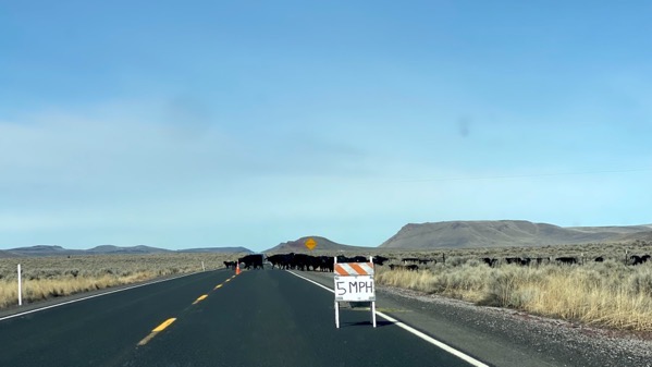
Whoops! What’s this? A hand-made sign: 5mph. Ah, and cattle. I’m calling it transhumance. I think the shepherd was trying to get the cattle to cross the road.
I think the humans were off to the right trying to relocate the herd to a pasture across the road. It didn’t help that the gates were not totally opposite, so they had “sweetened the pot” by putting little piles of alfalfa along the desired route. I think it probably worked well after we were gone.

Driver Spouse eased along and finally parted the herd. Most of them moved back to the right. I stared them down. Oooooh.

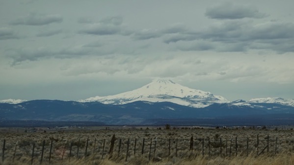
Miles later, the which peak is it game began. We knew the order: the Three Sisters, Mt Hood, then across the Columbia, Mt Adams, and somewhere between Mt St Helens. We weren’t sure we could see that, however.

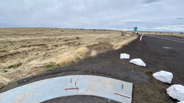
Note the sign…chain removal area. Yeah, we had to carry chains or have what I think are studded tires in order to pass through some stretches of road today. No one was out there checking, but we didn’t know if they would be, so this morning before we left Winnemucca we became the proud owners of a set of tire chains. They’re expensive! We’re very much hoping we can take them back to a different store, unopened, and get a refund. Fingers crossed.

The kindly (?!) DOT had anticipated the which-peak problem, and installed labeled arrows. Of this pair, Hood is left and Adams is right. You can see a slice of Adams and nothing of Hood at this time/angle.

We continued north and had to loop several hairpin turns down to cross the Deschutes. The Deschutes is a lovely river, and the town of Maupin seems busy, with an active railway and even a grain elevator.

As with the previous photo, note how green the slopes are, now that we’ve descended oh so far.

Crappy moving photo, but, look, there’s the Columbia!

Ah, yes, a darned big river…Lewis and Clark and their fellow travelers passed by here.
And the meta-message of the moment is: we made it north to the Columbia before the storm hit. There will be snow on higher elevations on roads to the coast south of us, not just in California, but also in Oregon. The snow has already started, but many elevations are getting “just” rain. By the time we head to the coast in two days, we should be just fine. Yay. We could have been hosed getting to the coast, but our friends we’re going to see on the coast warned us in time, and we made a bee-line north from Pahrump, staying far enough east of the mountains that we could sneak through. Rain is coming tonight, as well as frozen stuff some places that we came through. That’s why I noted above: we had all dry roads today.