Water management, more
Thursday, 16 January 2025
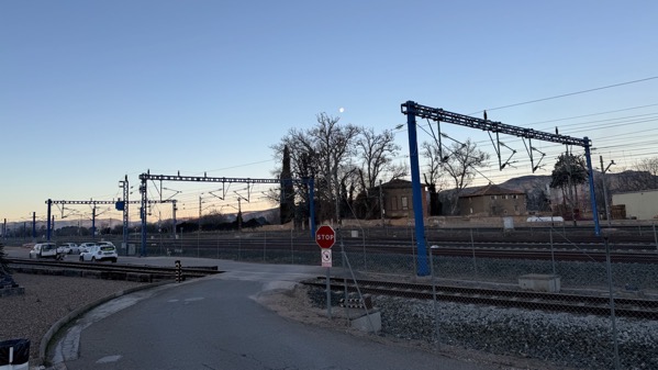
We got on the road before sunup, having quite an adventure trying to get the gas pump to accept our credit cards–no problems yet anywhere else. JCB finally used cash…and we zoomed off….
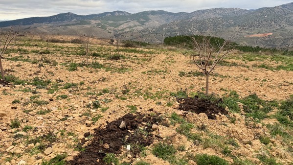
First stop was a ghost town amidst active agriculture high on a slope above the Río Grío, a tributary of the Jalón, which flows by Calatayud.
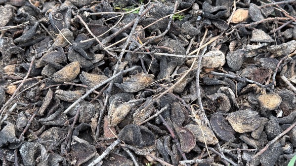
Almond parts: seed/nut, shell, then these: hulls…dessicating and rotting roadside next to an almond orchard.
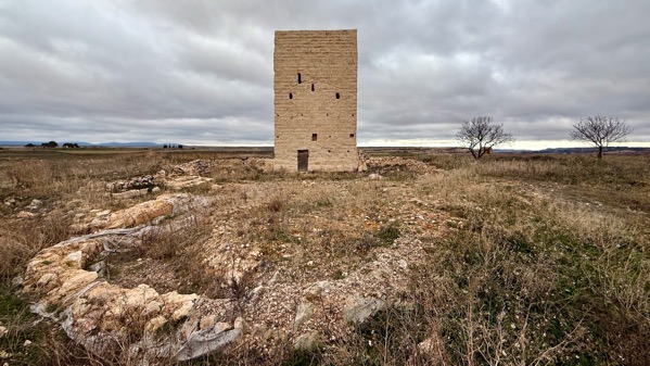
We walked into the Castillo de Langa del Castillo, and found this central tower still standing; a sign indicated the excavated area in the foreground was a church.
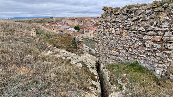
The Castillo fortification has steep walls and only one entrance. Portions of five wall-towers remain. Notes indicate this was a large enclosure for the time. Note how sections of the fort are starting to hive off. Conservation is never-ending.

From one “corner” of the castillo, we could see the piscina municipal below. We’ve seen swimming pools in quite small towns, like this…suggesting there was a provincial or federal program supporting their construction.
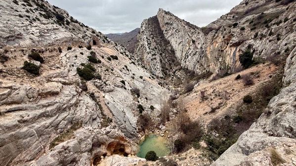
Somewhat later, we zig-zagged through some complex geology/geomorphology along the Río Aguasvivas near Segura de los Baños.
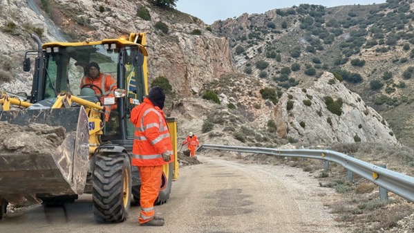
We also encountered a road crew cleaning up after a rock slide. Yes, the car fit between the pile and the guardrail.
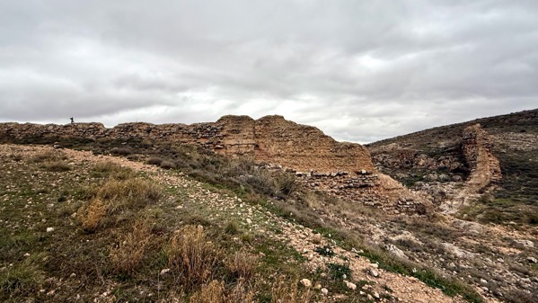
Here’s a look at the upstream side of a Roman dam south of Muniesa. See the curve helping the dam be strong against the weight of the water?
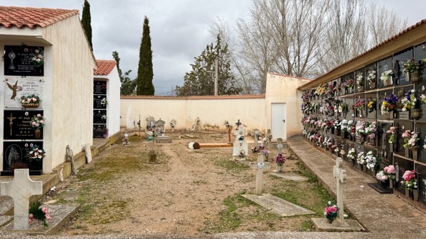
Later, we went toward Muniesa proper, and checked out the cemetery on the edge of town, established in 1903. Most people are planted in a many-rowed columbarium, and I was surprised how many continue to be deposited here. Many plaques note that they were placed by relatives, listed not by name but by relationship: sister, nephews/nieces, cousins. Interesting.

In town, we walked around Iglesia de la Asunción de Nuestra Señora. Doors were locked (we’ve yet to find an open church…although we haven’t been persistent, either.) Note their lovely Mudéjar tower.
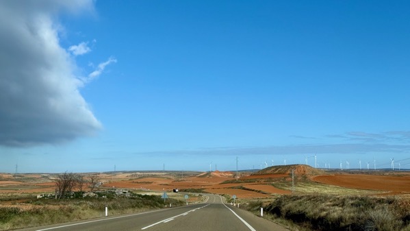
We were so glad to leave the gloominess behind, as it turned out, at the same time as we reached open terrain and commercial agriculture.

Our next stop was a Roman villa in another flat agricultural area, on a low hill. Obv, it’s well-excavated, but not open today (s’okay). The dwelling has a porticoed peristyle layout, with under-floor heating (a hypocaust system). An attached building has two mills and five beam presses, for olive oil. The tanks that received the oil have an estimated combined capacity of >17,845 liters. That suggests the villa controlled a large field area, although their mills/presses could have processed the olives of neighbors, too.
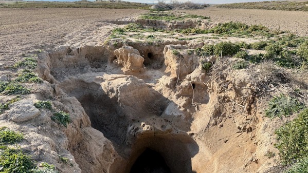
Here’re the remains of a qanat/qanāt, which is an underground Arab (supra-Mediterranean) tunnel system for moving water in arid places. They dig gently sloping tunnels for the water to flow through, with periodic vertical shafts. This is an eroded vertical, with the horizontal visible at the bottom…holding water! I was pretty excited to see this, having read about qanat systems for years.

Near the qanat, we have the best room in the house! Dinner begins at 8:15, and breakfast at 9:30. We’re still adjusting to these mealtimes, which in the evening give me an opportunity to create my posts before we eat. And here you go, you seven gentle readers!