On to Catalunya
Friday, 17 January 2025
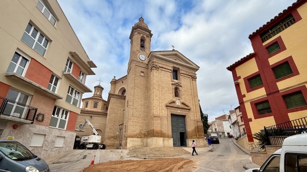
We took the long way back to our room after breakfast (the short way was maybe a dozen doors away), and the maze of streets brought us by the church, and the door was open!

So we looked in. Two priests and fifteen parishioners. What a surprise to see that oval ceiling and pantheon-like dome. A bit of digging (you know where), and I see that the building, Iglesia de San Pedro Mártir de Urrea de Gaén, was designed by Agustín Sanz (also the contractor for construction), with the building completed in 1782. The unusual layout was allowed by the church’s patron, 9th Duke of Híjar, Pedro de Alcántara de Silva Fernández de Híjar. A very progressive design.

We drove quite a ways, trying to absorb a bit about the always changing landscape. Here’s a lovely valley.
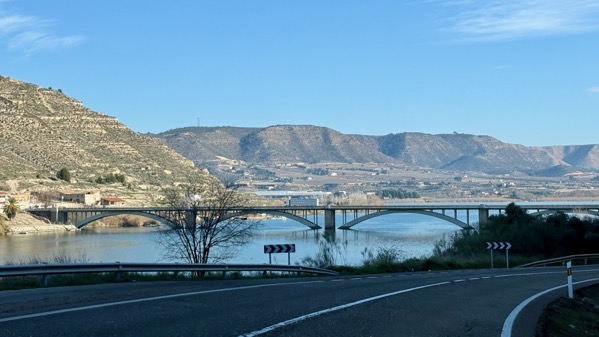
We reached our first crossing of the Ebro River, the major river of northeastern Spain. It’s south of the Pyrenees (duh), and flows east-southeast with a large, roughly triangular basin that I think was a breadbasket in Roman times. It eventually turns south and cuts through some low mountains, before reaching the Mediterranean at Tarragona. We will spend perhaps almost half of this trip in the Ebro basin. [Map on WikiPee here.] The area along the river is called the Ribera today. Shortly after crossing this bridge, we entered Catalonia, where we’ll stay for the next eight-ish days.
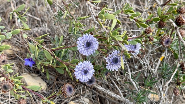
On our hill-climb to the first yacimiento ([archaeological] site) of the day, called in the literature Sebes, I spotted these flowers, mostly old dried out, but not this specimen. The one to the left is different. I don’t recognize either.
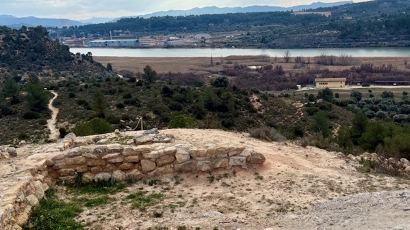
The heydey of Sebes was the Early Iron Age (7th C BC, and thus pre-Roman), when I think the best place in town was up here, but structures were on many terraces below the hilltop. Here’s the view of the Ebro from the high-point.
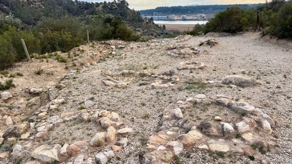
On a lower ridge-nose, the Sebes people put their dead beneath these careful rings of stones. Long before the Romans, people in Iberia put their dead outside their communities, but close by.
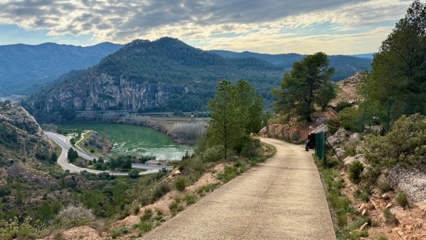
That ridge-nose off to the right and barely visible has the ruins of a later Iron Age settlement, high (as you can see) above the Ebro. The name for it today is Sant Miquel de Vinebre, so not an indigenous term that the Romans recorded before they ousted the inhabitants in 44 BC. Further parsing the photo, you can see the geological bottleneck to the left, which allowed this site to control passage up the Ribera, and the arable lands to the right or west-northwest and out of the photo.
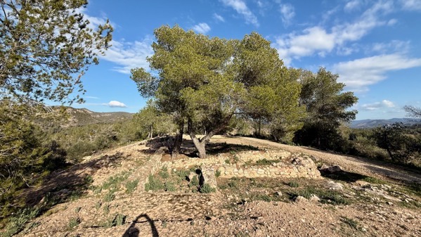
This site is typically referred to as El Molar for the adjacent town. John says the community’s business is dentistry, but the WikiPee indicates it’s agriculture (olive and almond orchards, plus some vineyards). This site dates to the Late Bronze Age/Early Iron Age (so earlier than the two above), and is along a narrow N-S ridge. Most of the excavation was a century ago, so we have far less data than if had been opened up in the last several decades. However, excavators did save some funerary artifacts of copper and lead. Interestingly, this site is in a mining area that produced the lead, but not the copper, although copper is known from the area. Instead, the copper was from southeast Spain, mostly from the Linares mines of Jaén, and, to a lesser degree, from mines in the Almería province. So I read.

We reached Catalonia, an autonomous community (Spain has 17), not a province. Here’s another bridge across…the Ebre, Catalan for Ebro. Our second Catalan word befits language learning in a Catholic region, and is creu, meaning cross. Poking around the internet just now, I learned that in Catalan, the name is Catalunya. Now up to three words!

Note the three balconies of laundry (I gotta include some cultural anthropology)—and one without—perhaps preparing for the weekend?