Musings
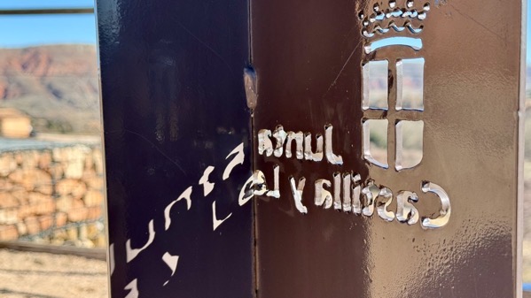
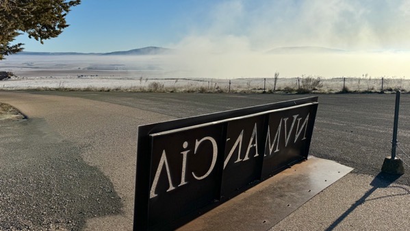
Clever signage from our trip that I neglected to post…as in, I already had too many photos selected for the day’s post…. The letters and symbol were cut from the sheet metal, when the light was bright, produced a…what’s the opposite of a shadow? A pass-through of light?
Posted at 8:34 PM |
Comments Off on Castilla y León art
Above our washer-drier is a tube light. When I flipped it on while processing the dirty laundry we brought home with us, the bulb blew and fell onto the drier. I have yet to dig out the socket part that stayed in the tube.
It’s dangerous being home?
I managed to stay awake last night until shortly after 7:30pm…and woke up at approximately when we had been getting up in Spain. Errg. Already yawning now…. My body isn’t proficient at fielding time changes.
Posted at 7:42 PM |
Comments Off on Yawn
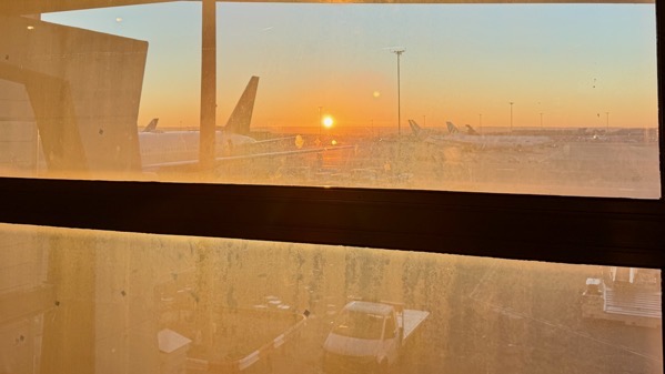
We got to see the sunrise while at the airport…waiting.
Finally, we took off!
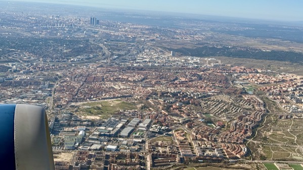
[Insert hours and hours of westward movement.]
What a relief to reach ATL, and land!
[Skip discussion of extremely flawed layout of ATL airport…necessitating an at least fifteen-minute walk to get to passport control from our gate, and a fifteen-minute bus ride to the “other side” of the airport from the international terminal to reach the MARTA station.]
Posted at 7:18 PM |
2 Comments »
Our departure…leaving from beneath the looming, snow-dusted Sierra de Ayllón, amid ice-crystals…mostly melted when we got going (lots of sun exposure).
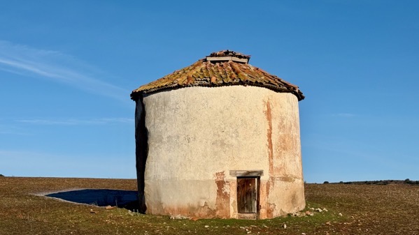
We came upon these round structures in/near several towns, but I couldn’t figure them out. They seem clearly for storage, and the roof is vented, yet there’s only one door, and it’s small. My guess is they’re something to do with grain production…mystified.
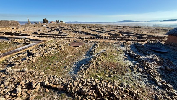
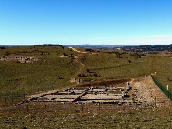
Our first stop was Tiermes, which was a large CeltIberian fort that allied with Numancia (and others), and held out against the Romans for longer than other places (probably routed about 133 BC). The Romans remade the settlement, adding homes, a large aqueduct, a forum, temples, and more. The sandstone hill also had earlier Neolithic and Bronze Age occupations. Here’s the southeast gate; all the gates to Tiermes that I saw had a bend like this…I assume offering an additional level of security.
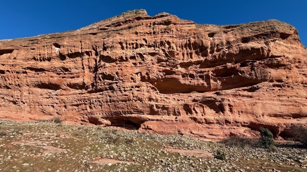
The southern face of the hill is mostly a wall of sandstone. The horizontal rows of holes held beams that made ceilings and floors of multi-story structures.
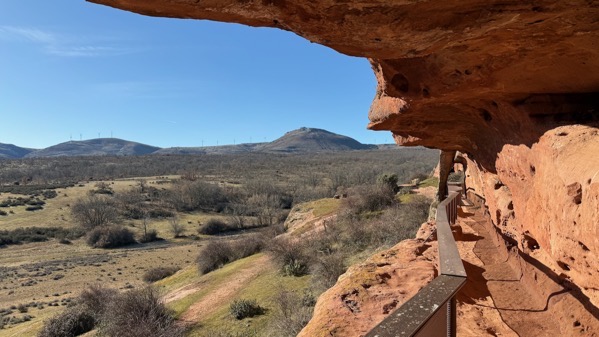
Here’s a look along the aquaduct from where it (presently) goes into the hill. This is just to the left and above the last photo.
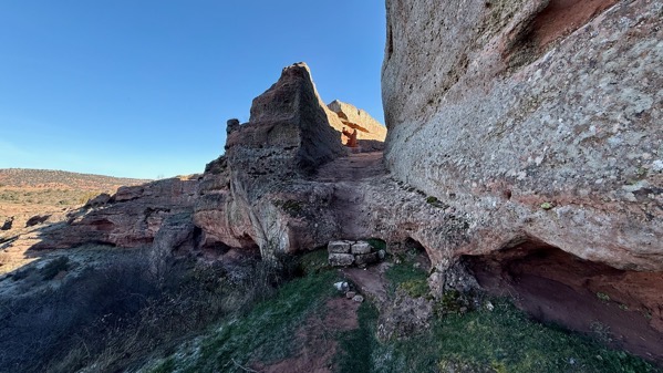
This is the west gate, surely more eroded than when Romans and their CeltIberian predecessors used it…or maybe this was just a Roman gate.
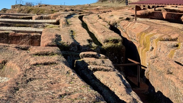
The wheels of carts dug into the soft sandstone, and later eroded into deep trenches.
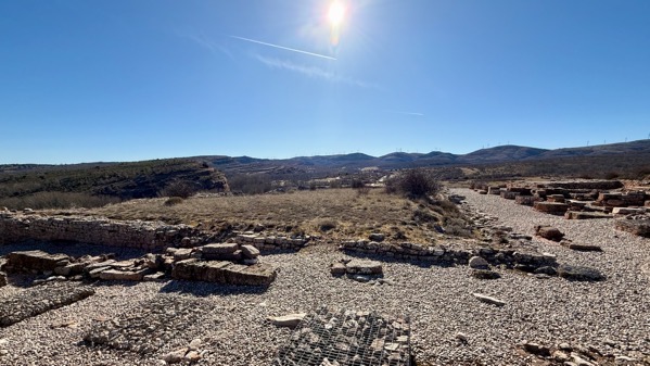
That vegetated (grassy?) area is the Roman forum. These photos do not do justice to the huge area of this settlement, and I mean huge in pre-Roman CeltIberian times especially. My walking track was almost two miles, and I missed some highlights. Of course, I have not seen the excavation reports, which may describe many unused (often trash-collecting) rooms, as often happens for Puebloan settlements in southwest North America.
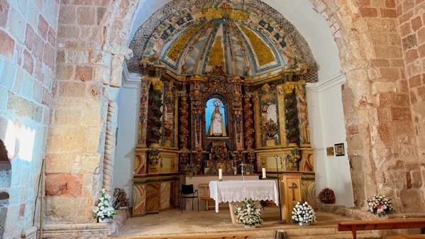
Our last stop on the present Tiermes property was to step inside this Romanesque chapel/church, probably built in the late 12th C. I don’t know the date of the interior. There’s no longer any town nearby and I don’t know if there are scheduled services any longer.
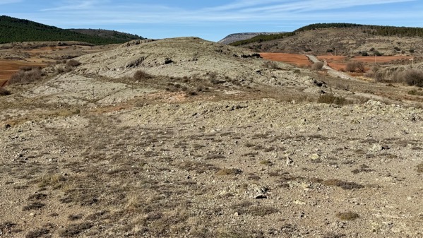
Our next place of interest was the Cerros volcánicos de La Miñosa, a very small area that constitutes an unusual micro-environment.
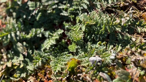
One species typically mentioned is Erodium paularense, or the Paular geranium. This might be it. Interestingly, a few hundred meters away archaeologists have recorded six Paleolithic (meaning early) sites…perhaps because the ancients obtained something important to them from the volcanic zone. Dunno, just hypothesizing.
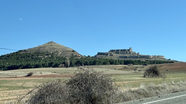
The pointy hill has a Castro atop, and the other is a Castillo. Off to the right on the slope below the Castillo is the Medieval (as in: most of the central buildings date to…) town of Atienza.
That’s enough for today. Tiermes remains among the most amazing pre-Roman/Roman sites I’ve yet seen.
Posted at 2:31 PM |
Comments Off on Best for last?
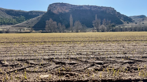
Today’s first stop was Numancia, one of the many locations that had pre-CeltIberian settlement, then CeltIberian, then a big rehab/redo by the Romans (who took it in 133 BC). As an additional treat, clouds brought moisture that the temperature converted into ice crystals.
Need I mention that we walked carefully?
Walls, hence occupation, seemingly go on forever.
A fancier dwelling….
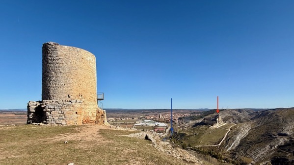
On to Uxama. This tower dates to the al-Andalusian period, when Arabs controlled most of the peninsula, including this area. They built many watch-towers to consolidate and maintain their power. It worked for generations…until it didn’t. The castle to the right (red arrow) dates to the 10th–11th C, with later modifications. The river in between (blue arrow) is the Ucero.
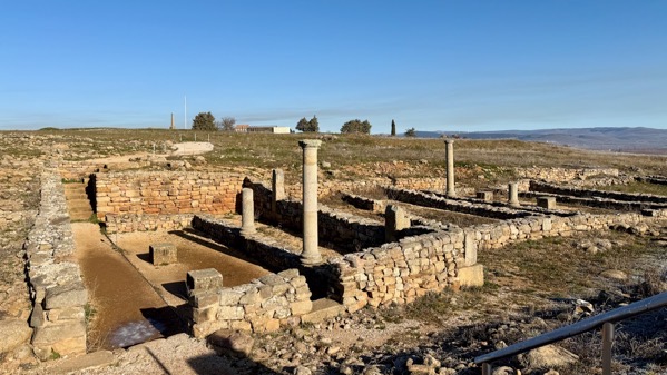
Uxama is better known as a Roman city. If all this area had buildings, it was a very large city (I am not sure that it did). This excavated area is between the major hilltops; this view is to the southwest.
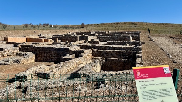
The domestic complex in this corner of this area includes and underground store-room (far right; bodega in Spanish).
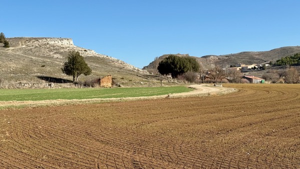
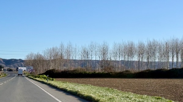
We left the Roman world behind and checked out the Riaza valley near Montejo.
I’m guessing this is wheat. I’m guessing it’s doing pretty well. We’ve been seeing large piles of bales of wheat straw, just rotting…it appears they bale it with no market…is there a subsidy involved? Just trying to figure out the political economy….
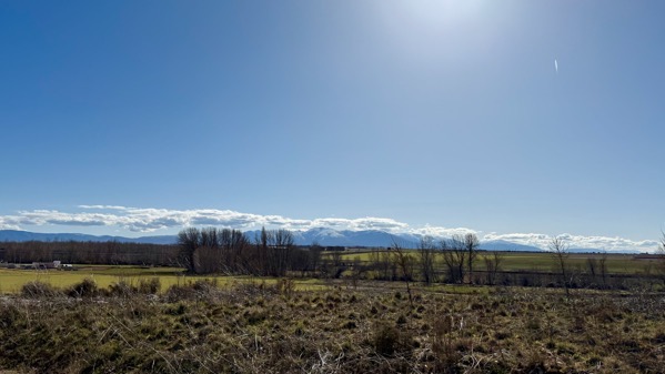
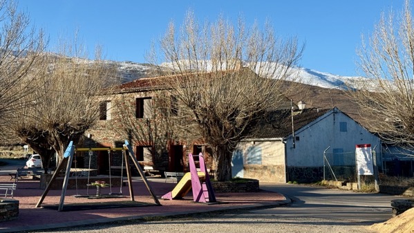
See those lovely mountains below the narrow cloud layer? Tonight’s room is in a tiny village in their foothills.
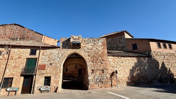
We motored through this Medieval gate to check out central Ayllón.
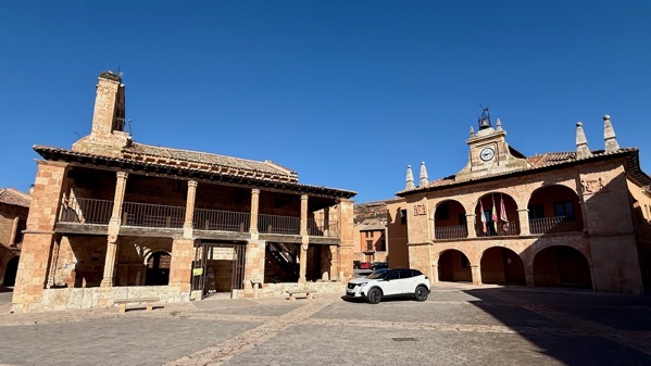
Two civic-ceremonial buildings on the mostly Medieval main plaza…. I think the one on the left was a church, and perhaps still is, but the signs relate to non-religious usage.
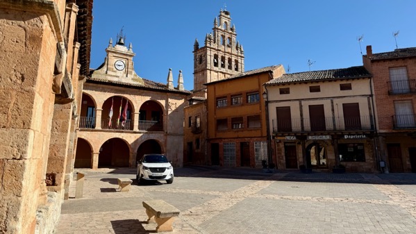
A different view of this same end of the Plaza Major.
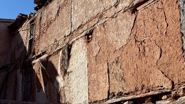
Construction detail…showing beams embedded in soft brick and adobe-type wall materials.

In contrast, this is the building material of the small village we’re staying in. I’m calling it slate.
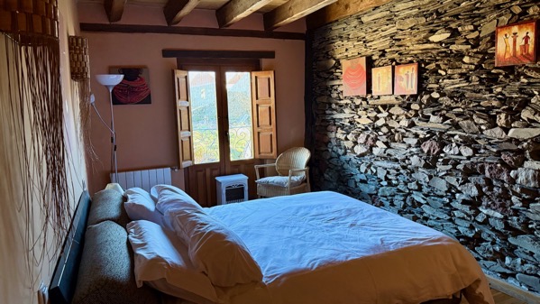
It’s even visible on one wall of our lovely room.
Posted at 12:44 PM |
Comments Off on Beyond Roman-ness
This is maybe the third time we’ve seen a stand of these silver-barked trees. Dunno what they are…mystery arboles.
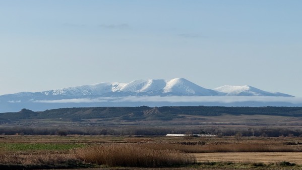
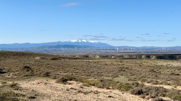
I’ve confirmed that this is Moncayo.
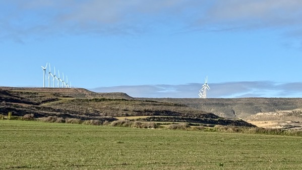
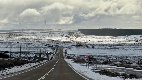
Wind turbine alignments. I’m trying to get my photographic fascination with them out of my system. Round hay bales can grab your eye this way, too.
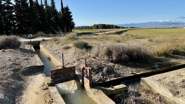
We’ve seen plenty of large and small irrigation ditches, but rarely the valves. Here’s a split, where the flow is being directed two ways.
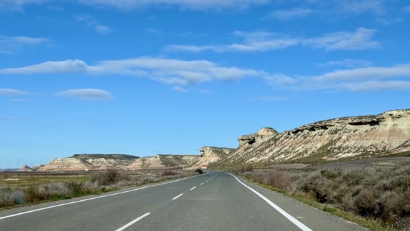
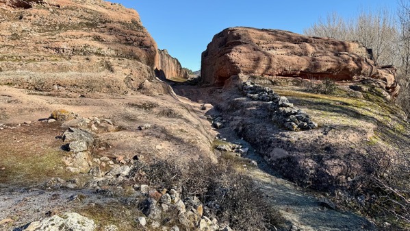
One of our goals today was to get a look at a large eroded area, or badlands, that is a park called Bardenas Reales.

We did find one place with a road we could safely try to get into (or towards) the heart of this sculpted landscape. You can see we didn’t get far, as farmed fields remain.
We partly circled Moncayo yesterday, and completed the loop today.
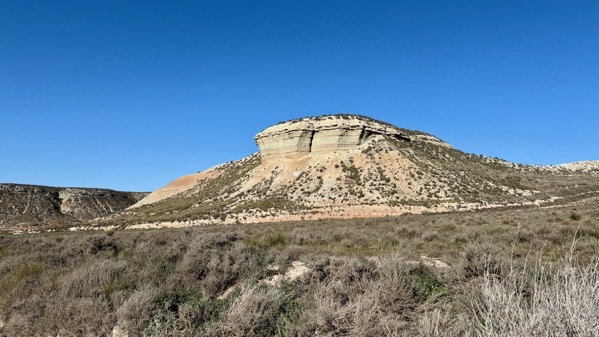
One more eroded landform.
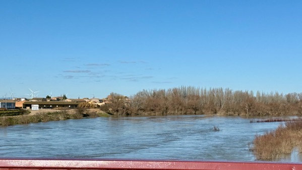
I finally got a shot of the Ebro when we crossed it. I think this is normal spring elevated levels.
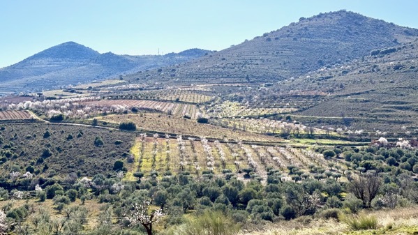
We cut through a “corner” of the lower slopes of the Moncayo massif, and found what must be a relatively warmer area, as many orchards flaunted blooming trees. My guess was peaches or apples, but I couldn’t parse the tree shapes and figure out the species.
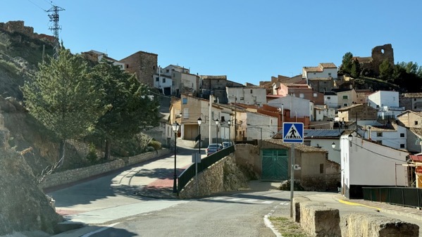
We went through/by many little towns. Amazingly, most had parked cars and evidence of active residents. I cannot figure out the economic support for these scattered villages.
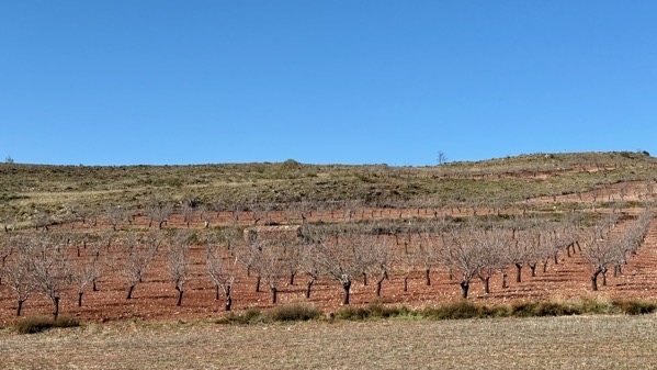
Later in the day, I became fascinated with the variations in soil color…this is rather brick red, and the trees are not yet blooming (February, remember…snow on elevations, remember?).
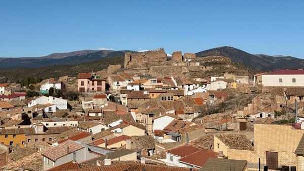
Castle ruins above larger small town…note the white lenses in the far distance behind the jagged walls…Moncayo massif, again.
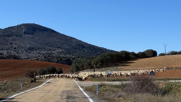
I counted one man and one dog with this substantial sheep herd. As we continued up the road, it was evident that they’d come down it for at least a mile. Transhumance underway? Earlier in the day, we saw a smaller herd, controlled by a man with a loaded mule and four dogs. Spring is springing for shepherds.

This is the second fox we’ve spotted. Neither was much concerned with our presence.
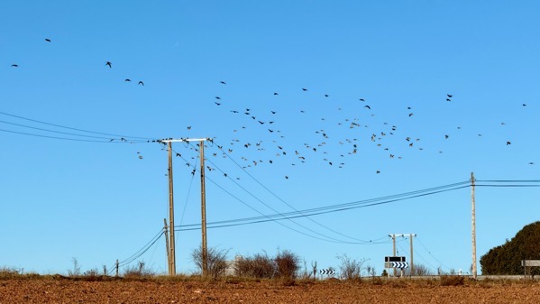
I just encountered a description of wheeling clouds of birds as resembling the billowing robes of a genie. As shown….
Posted at 3:30 PM |
Comments Off on Circumnavigation, etc.

Wind turbines on horizon. Strange color balance (through windshield).

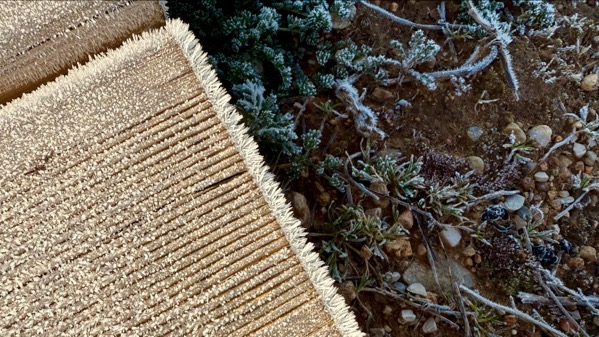
Frost patterns…one shady place we saw frost as late as 11:30am.

Flags, bell tower.

Storks, backlit.

Horses, also backlit, with frost, tracks.

Medieval rock graves, Revenga.

Medieval rock graves, Regumiel. They antedate the 12th C church built partially atop them.

Medieval rock graves with ice skim, Duruelo. Some sources say this trend in this area, the Upper Arlanza Basin, say these graves are 7th/8th C. Others say 8th–10th C.

Stand-alone snow-capped mountain, perhaps Moncayo.

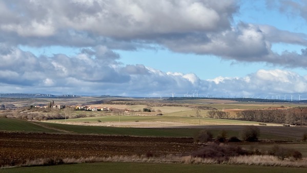
Wind turbine array, with Pyrennees in far distance and Ebro basin between.

Rioja territory grapevines.

This is the part of the Roman city of Graccurris, founded 179 BC, that has been “reconstructed.” I could make little architectural sense of what seemed to me to be mostly a wasteland. Of course, there was significant Medieval occupation here, too….

Largest church in Alfaro, essentially modern Graccurris.

Smaller Alfaro church.

Fuzzy moon out our hotel window, a few minutes ago.
Posted at 1:57 PM |
2 Comments »

We left Bilbao in a light rain and went west, in and out of raininess.
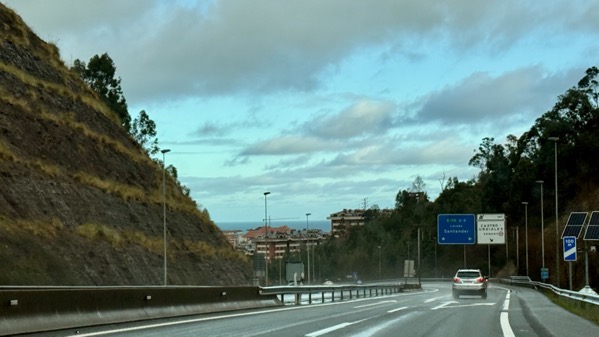
We saw the ocean—quick peeks—at least a half-dozen times.
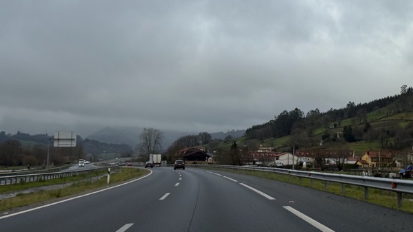
When we cut inland, we encountered clouds above and with us.
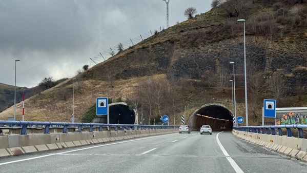
In Europe, we’ve found far more frequent tunnels than in the USofA. A tunnel we went through before we reached Bilbao was almost 3 km (1.82 mi)—I forgot to look it up until now.
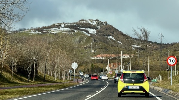
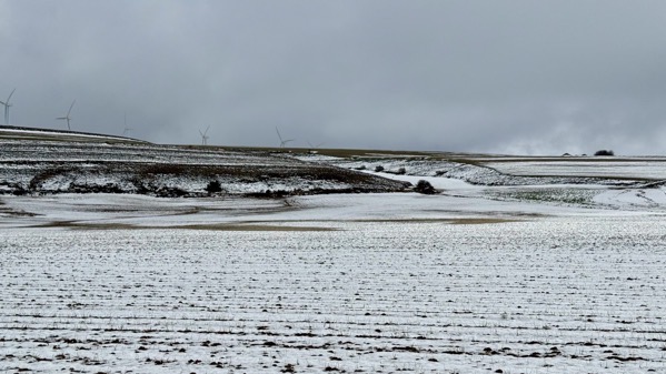
The elevations eventually had snow…from a storm that came through about three days back. Luck is with us.
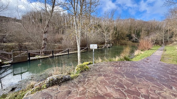
We took a wee side trip to see the source of the Ebro River, where there’s a lovely little park…and the river’s first dam.
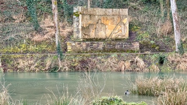
This is a monument to the river. With a mallard.
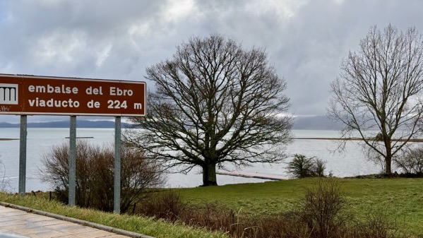
Just a few miles from the source are the upper reaches of a major reservoir on the river.
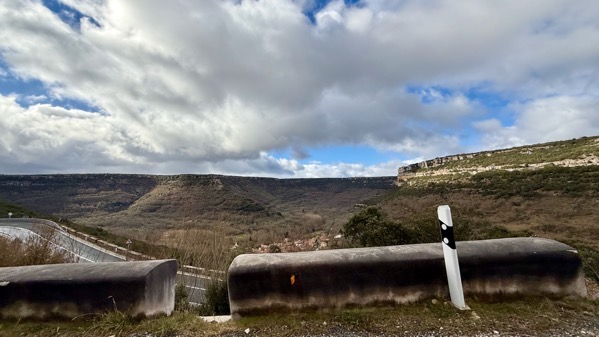
Then, the topography became more rugged, and we drove a bit in dramatic gorges.
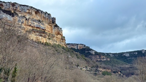
Even the side drainages are dramatic.
Oops, look what we climbed into.
Fortunately, the road was clear and the temps waaaay too high for there to be ice.
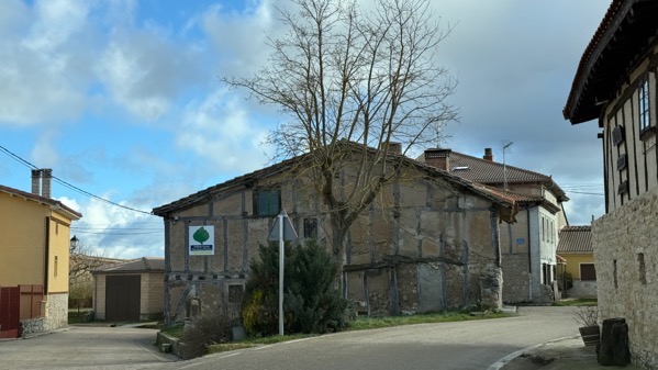
This is the only town we went through where the buildings had exposed beams. I suspect many of the buildings have beams—they’re just clad in mortar or whatever.
Finally, we descended and the landscape opened up, and the fields are greeeeeen!
Hotel window view….
Posted at 3:15 PM |
2 Comments »