Musings
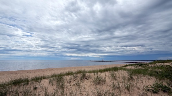
Lighthouse sequence. The structure is on the end of a breakwater at the mouth of the Manistique River. It is 35 ft tall and made of steel. It was first lit in 1916, and automated in 1969. Safety first.
Wide angle.
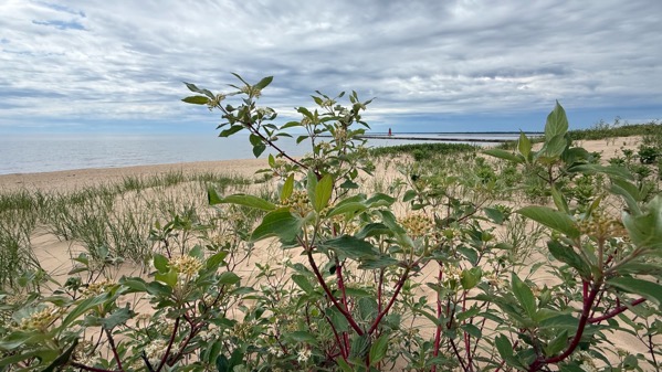
Wide, with red osier dogwood in foreground.
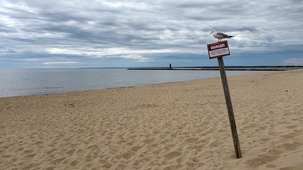
Not so wide, with sign and seagull (or tern or whatever it is; we always called them gulls).
We encountered wet roads, then rain, on our return drive; however, no rain fell here at the cottage, sadly.
Posted at 7:57 PM |
No Comments »
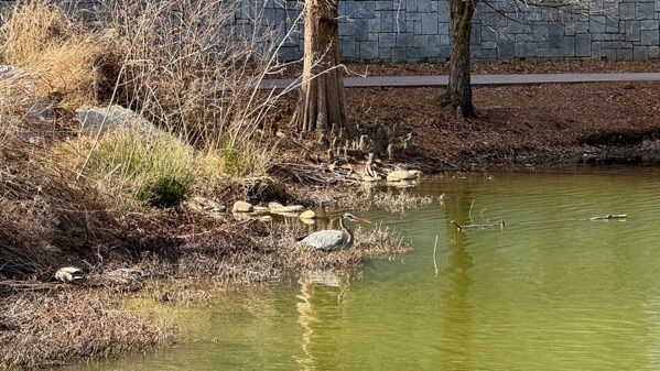
One great blue heron, two mallards (left).
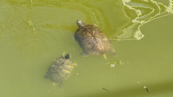
Two turtles, two fish.
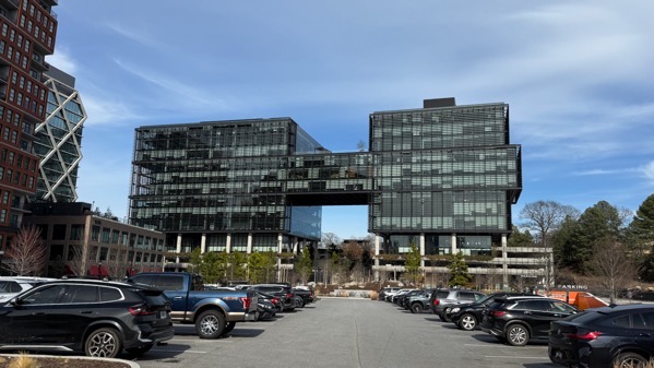
Two-part building.
Old Fourth Ward Park includes a flood-water pond that retains water year-round, presently green with algae. These days, tall buildings mostly surround it.
Posted at 7:29 PM |
Comments Off on Pairs, mostly
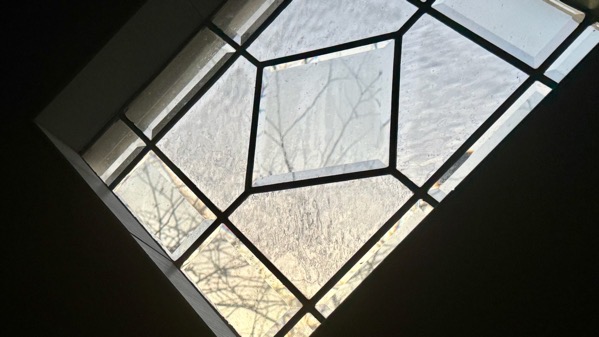
Shall we ponder the contrasts between the angles and the shapes they outline, and the organic shapes of the twigs through the glass?
Posted at 9:35 PM |
Comments Off on Incongruities
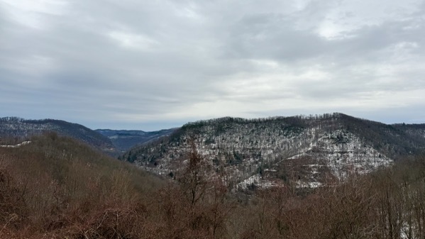
I find it always special when I’m rolling along a mountain road and find a pull-off vista-view. Here’s one…
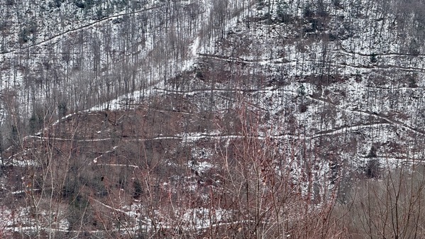
…with snow outlining every little trail and logging road. This is a close-up of that “triangle” on the right side above.
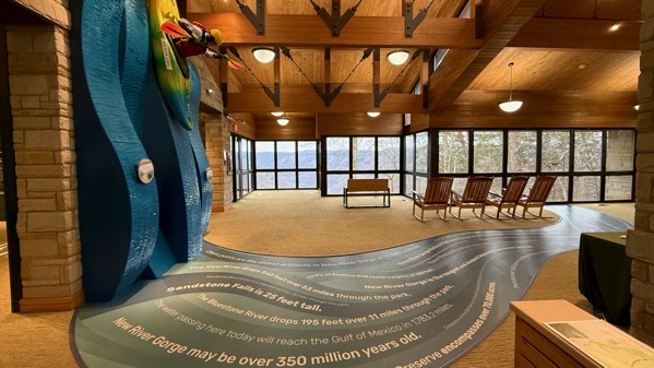
Our tourist stop of the day was at (one part of) New River Gorge National Park and Preserve, in West Virginia. We first saw the gorge from these windows in the Canyon Rim Visitor Center.

Truly a gorgeous gorge—even with rain starting to fall.

Here’s the high bridge crossing the gorge…
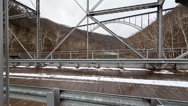
…and here’s the high bridge from the low bridge, which is the one we crossed.
The rest of the day was rain, never a blinding storm, but constant, mile after mile. We hear that we may awaken to snow tomorrow here in Asheville, despite being so much farther south than the southern Lake Erie shore.
Posted at 10:12 PM |
2 Comments »
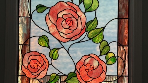
We’re just a month before the shortest day of the year, and the sun angle now catches this stained glass window, which is in an interior stairwell. Is that a strange location?
Posted at 8:51 PM |
Comments Off on Pink roses
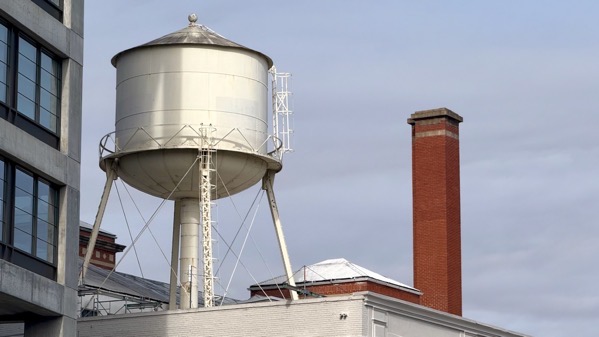
This is not my first photo of this water tank posted in these cyber-hinterlands. I know tanks’re ubiquitous in the NYC skyline, but not-so-much in this southern outpost. Still, it makes a good architectural image.
Posted at 7:38 PM |
Comments Off on Gravity-fed
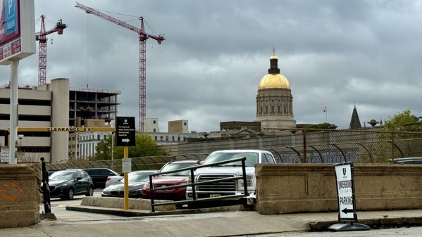
We had an errand downtown, and the sun almost came out to light up Georgia’s capital dome.
Posted at 7:42 PM |
2 Comments »
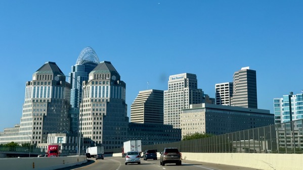
We almost always come through Cincinnati on I-75, or parallel side routes; however, today we took to the side streets and ended up on I-71, which gave us this different view of downtown.
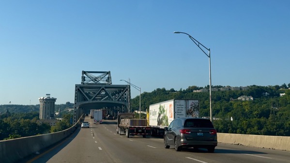
They both cross the Ohio on the same bridge. The traffic was moving just fine.
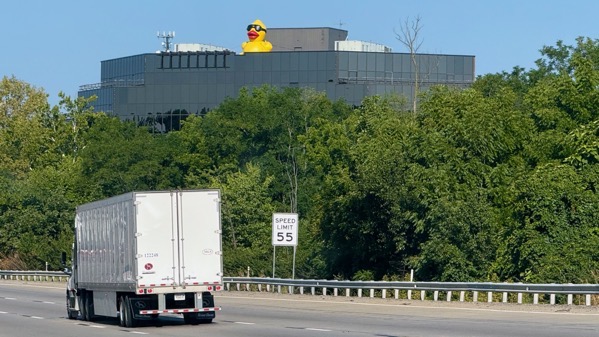
Climbing away from the river, we spotted this whimsy.
[By focusing on Cincy, I can easily avoid discussing the traffic *fun* we had in metro ATL during rush hour, complicated with rain. However: home safely.
Posted at 8:55 PM |
Comments Off on Ad-ven-churs
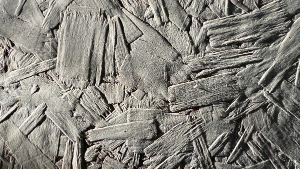
The light was just right to show off the wood flakes in this finishing material on the porch. Believe it or not, this is not a B&W image…you’re just looking at grey paint.
Posted at 9:09 PM |
Comments Off on Just, just…
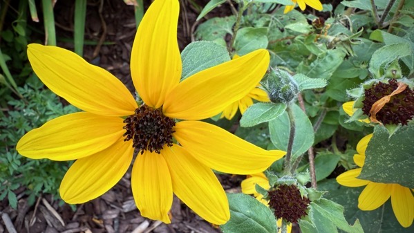
We stopped at a rest area with well-tended flower beds, and I took over a dozen shots. Looking through them, I realized all were of yellow or yellow-orange specimens, except for two rather desiccated white daisies. Am I part bee?
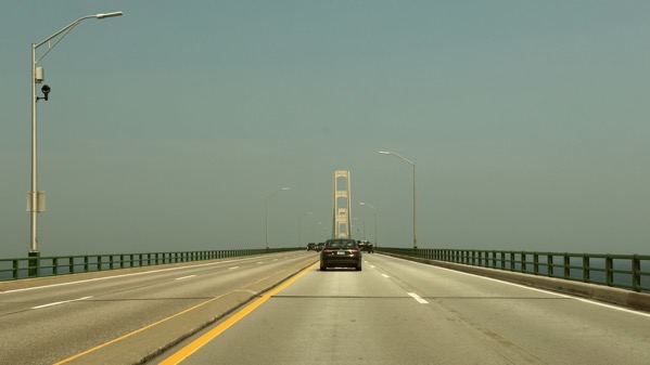
When we crossed the bridge, ever a hugely important landmark when connecting two immense peninsulas, the sky looked strange. I figured there were smoke particles in the mix with humid air, but never smelled it…which I’m happy about.
I took a lake-bath about 8pm, to sluice off the sweat and bring my temperature down after doing assorted cottage-opening chores in the heat and humidity. Now the temp’s dropped to 72° and it feels heavenly. The humidity is down to 82, but it’ll be picking up through the night, to decrease again when the sun arrives. After tomorrow’s heat (outrageous high of 90°F predicted), the highs are supposed to moderate. I sure hope so.
Posted at 10:03 PM |
Comments Off on Happy we’ve arrived