Gravity’s art
Monday, 31 March 2025
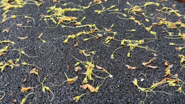
A windy, rainy storm came through, and the trees dropped a mini-forest of green bits.
Monday, 31 March 2025
A windy, rainy storm came through, and the trees dropped a mini-forest of green bits.
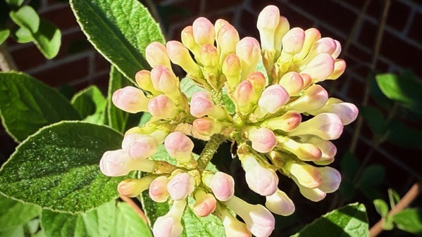
Sunday, 30 March 2025
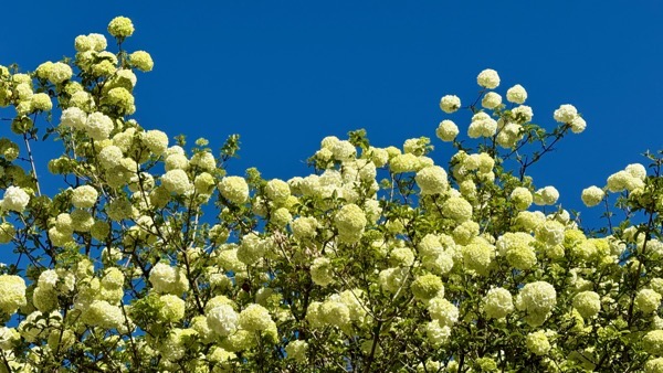
This is the kind of snowballs we have around here these days. (I think it’s a kind of viburnum.)
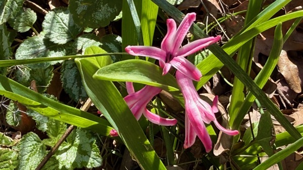
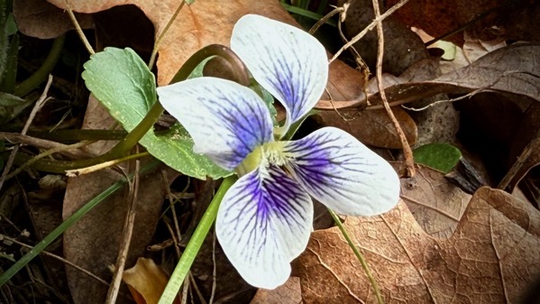
Thursday, 27 March 2025
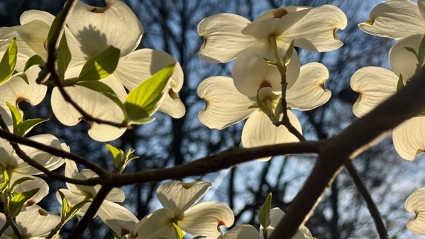
I found full-out dogwoods today, and had my first sighting of yellow pine pollen dried puddle rims…that is: pine pollen that’s yellow, and not (as far as I know) the pollen of yellow pines.
Wednesday, 26 March 2025
The other week I got a jury summons, or more precisely, a qualified summons. In our county, you call a number the night before your day, and a recorded voice says which groups are to appear the next day, and which are dismissed. My group was dismissed.
Now, I believe in jury duty and I have twice been chosen, but I was glad this time around to not have to go downtown, and perhaps wait around and not be chosen, or be chosen and have to show up for multiple days…well, there are many permutations. Instead, I woke up and yawned and didn’t have to rush around and head to the courthouse metal detector by 8:30am.
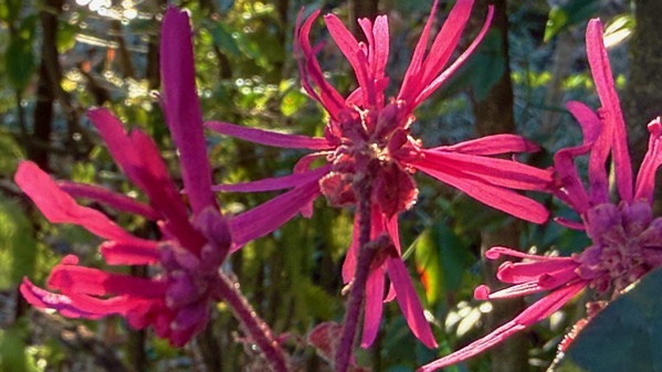
Tuesday, 25 March 2025
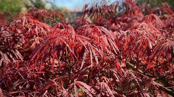
Look at those tender, lacy Acer palmatum leaves—truly iconic spring foliage.
Monday, 24 March 2025

Redbuds in bloom don’t last all that long. Right now, they are glorious, even against a middling sky.
Saturday, 22 March 2025
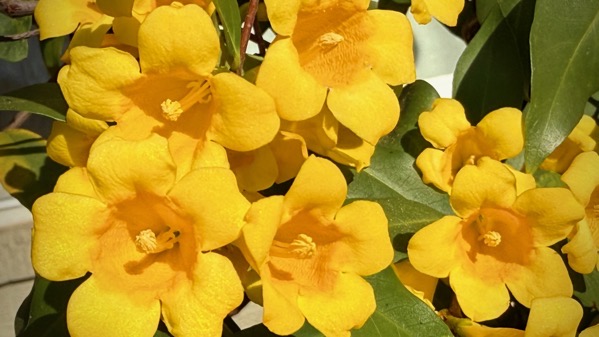
Oops. I picked a picture, and neglected to post. Lovely scented sunshine in Athens….
Friday, 21 March 2025
I think I’m relapsing on adjusting to the time change, but only partly. I awaken “normal,” and fall asleep “late.”