Timing is all
Sunday, 3 September 2023

After a hot and sticky day, the temp abated enough for a sunset stroll. And what a sunset. Now all the windows are open to let some cool(er) air in the cottage, as it is finally in the low, low 70s.
Sunday, 3 September 2023
After a hot and sticky day, the temp abated enough for a sunset stroll. And what a sunset. Now all the windows are open to let some cool(er) air in the cottage, as it is finally in the low, low 70s.
Tuesday, 29 August 2023
Of course, now that the rain barrel is full from the periodic overnight and morning rain, the plants are well-watered and don’t need a top-up from the barrel.
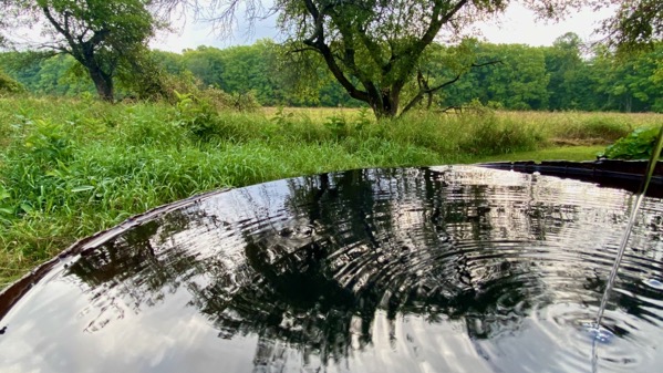
Sunday, 27 August 2023

Rain filled the barrel the other day. Now, I’m watering out of it. It’s a cycle.
Lows last night in the upper 40s. No kidding. Tonight, the prediction is the low 50s.
Friday, 25 August 2023
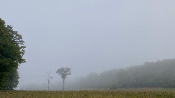
I do love this ground fog. We didn’t have it earlier when we were up here—not enough moisture out there. Today was NOT overcast, thankfully.
I got The Beast going this morning and got plenty sweaty. When I started the last of the fog was around. By the time I quit, the sun was out. I didn’t work out in the field, but instead trimmed scrappy areas near the cottage…scrappy because the lupines are dried, and the grasses (etc.) are yellowing and browning. Autumn is coming.
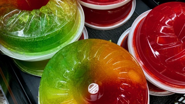
A bit of garish from the deli cooler at the GrowSto, just to shake up your eyeballs. Apparently all-red sells better than multicolor. We managed to depart without either variation.
Thursday, 24 August 2023
Today was Day2 of overcast; tomorrow may be the same. Not inspiring. Nice to not have wind, as you see early this evening.
I got the thistle terminology wrong on Tuesday. The spiky parts are prickles, and my derived word for the entire plant was prickers. Still is (in my head).
Sunday, 20 August 2023

Warm night last night, only down in the high 60s. Tonight it’s almost that cool now, heading down to the high 50s. I suspect I’ll sleep better tonight.
Feeling for the people of SoCal, Baja, and that area; they probably aren’t sleeping well at all.
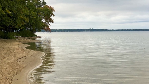
Friday, 18 August 2023

The wind blew itself out, as Mom used to say. The lake level is lower than when we left, but the point still isn’t as pointy as it was.
Still haven’t been able to return to my before-10am outdoor work schedule. It’ll come.
Thursday, 17 August 2023
It was windy all last evening, then the rain came in at something like 2am, still with the wind. I did not sleep well, but I did sleep. Sometime late morning the rain quit, and the sun even came out once or twice. We sure did need the rain, and I guess the wind assured that the rain got everywhere, including under the trees and on the were-wilty lilacs. Now it’s quiet again, but it wasn’t much of a work-day or a fun-day.
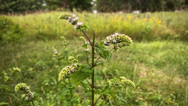
By the way, this is deer-trimmed mint…in bloom.
Wednesday, 16 August 2023

We treated ourselves to smoked menominee. Thank you, fishy. Usually we get whitefish. The two species are cousins (and both in the salmon group). I was surprised that (today anyway) I liked the menominee better than the whitefish we had last time.
Windy now and building since late this afternoon. Supposed to continue all night. Rrrr.
Friday, 11 August 2023

This morning’s weather excitement…less scary than it looks.
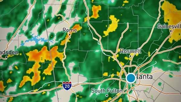
Yesterday’s weather fun. We got a lot of green rain. I was oh kay.