Musings
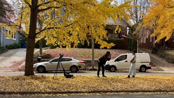
Act One: young man photographing young woman. Aww.
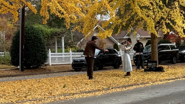
A half-hour later…unexpected Act Two: switcheroo!—young woman photographing young man, with considerably more posing instruction.
And a mystery man at the tripod. BTW, what’s the tripod for in this play? And that second man? Or maybe there’re plans for a movie, too? Questions abound.
Note that although there are many ginkgo leaves on the ground, there are even more on the trees.
Posted at 5:59 PM |
Comments Off on Two-act play

Each. Too bad I wasn’t in the market for a whole turkey.
Posted at 6:50 PM |
Comments Off on Limit 2

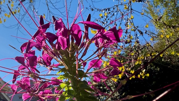
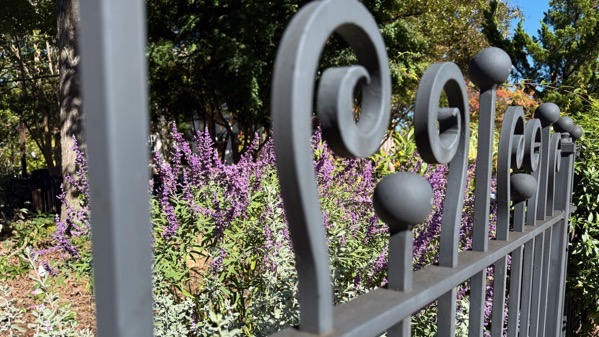
We uncharacteristically ventured out this evening and took in a friend’s opening. We thought this flower arrangement was appropriate for paintings categorized as surrealism.
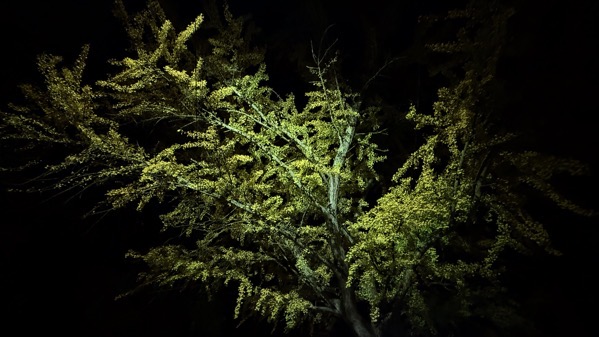
On the way home, I snapped this, proof that the pair of ginkgos up the street still have most of their leaves.
Posted at 9:31 PM |
Comments Off on Vegetation signals

As near as I can tell, the suitcase is more-or-less permanantly installed on that rack.
Posted at 8:39 PM |
Comments Off on Stylin’
I’m all goofed up by the time change. I reset three clocks that are manual; more await, including in both vehicles.
Today was not this sunny.
Posted at 8:09 PM |
Comments Off on All about timing
All of us who cycled through schoolyards when we were, say, six years old, learned that anyone who offered a deal that went like: if you do what I want first, afterward I’ll do what you want…would not follow through on the second part. Guaranteed. N-e-v-e-r happened.
Posted at 9:27 PM |
Comments Off on Jus’ sayin’

I love early voting.
I’ve decided that the only conclusive data about what will be on the ballot you face is to look on the gov’t website. None of the news sites seem to have it remotely correct.
Posted at 8:15 PM |
Comments Off on Civic dooooo-teeee

We went out erranding and I discovered that I could buy fake spiderwebs for $6 per package, plus tax. If I were interested….
Posted at 7:06 PM |
Comments Off on Pricey fakes

I had this with my coffee and thought, gee whiz, there’s something to post here. Perhaps. [Mitad means half in Spanish.]
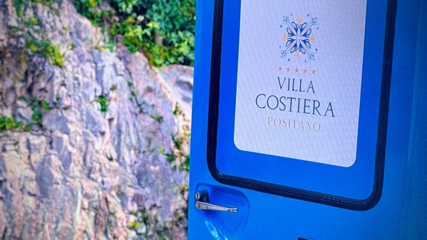
But, this is better. We began a new series of evening TV watching. We sometimes use our choices to be a kind of travelogue, or travel abroad that doesn’t require a passport. This choice is “Hotel Costiera,” set in Positano, on the southern Amalfi Coast. So far, there’s not much food in it; drinks, yes, but little chow. [Not ciao.] Pleasant. Entertaining. Mostly in English.
Posted at 7:38 PM |
Comments Off on Translation day
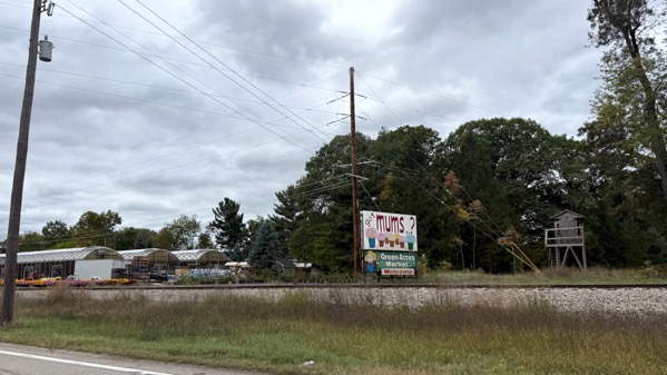
Our morning began west of Traverse City, and therefore off our typical I-75 axis. Pleasantly. So, we stayed west of I-75 all through Michigan, where farm stands selling pumpkins and big pots of mums were abundant. Look for mums on the far left between the arch-roofed structure and the RR tracks.
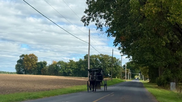
Our trajectory took us through the “heart of Amish country,” Shipshewana, Indiana. Hence: buggies and many farms with paddocks of horses. We even saw a four-horse team on the road, but pulling no farm equipment, only the driver’s platform with an empty hitch-bar.
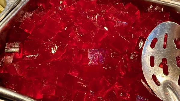
We decided on a buffet dinner (a vast improvment over Arbys and the like). The offerings of course included red jello. [Not sampled.]
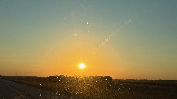
And here’s today’s sunset, complete with windshield flares. No Great Lake in Southern Indiana, even a bay of a smallish lake, although we did pass by Big Lake at some point.
Posted at 7:03 PM |
Comments Off on Ah, the Midwest