Open not-sesame
Tuesday, 24 March 2026
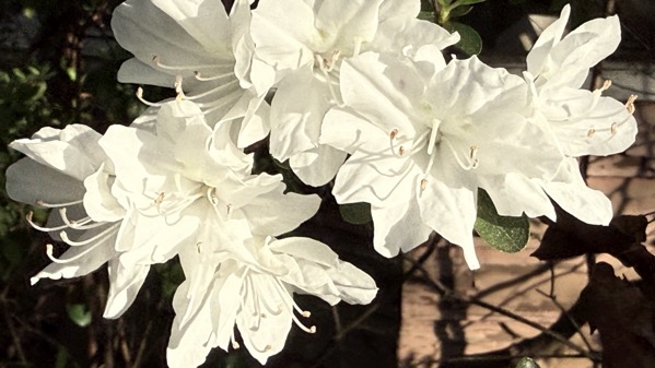
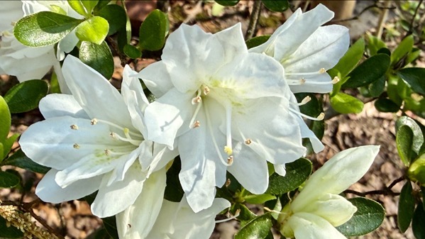
The sun creates a super-pretty radiance.
Friday, 20 March 2026
A pretty and lovely day that I enjoyed (weeding). A cold spell is behind us, and a hot spell is coming.
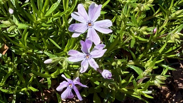
Thursday, 19 March 2026

The pollen is here with the phlox. They both start with Ps, but not the same sound.
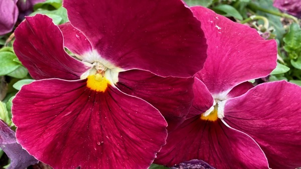
Wednesday, 18 March 2026
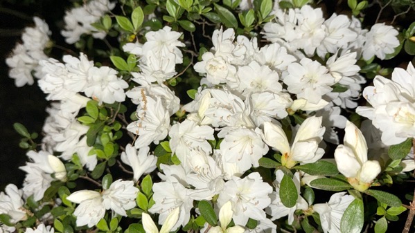
I think this cold snap is over as far as overnights below freezing, so this pair should make it.
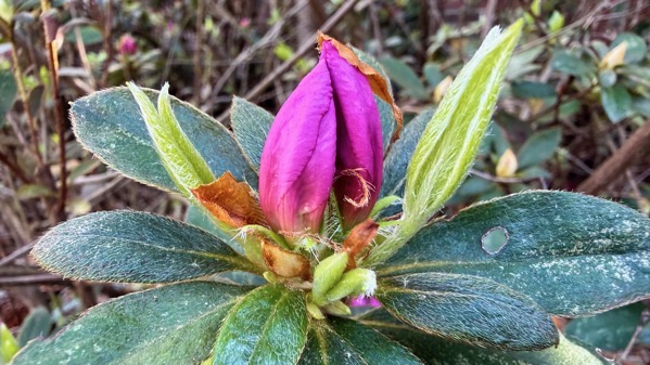
Thursday, 12 March 2026
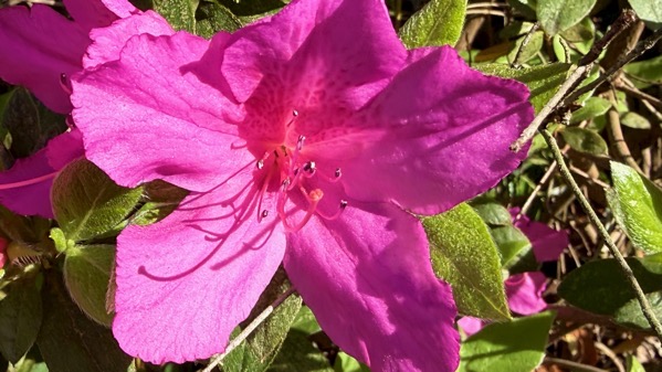
I swear that five days ago this plant didn’t even have buds…at least in a casual glance.
Sunday, 8 March 2026
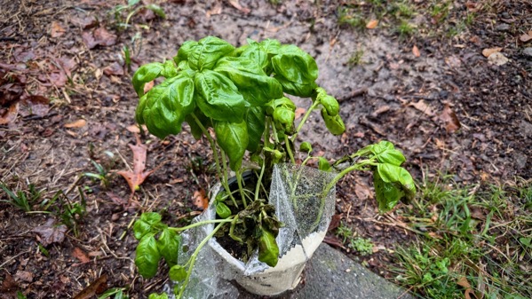
We have to have caught up our rainfall deficit a bit the last few days. I got this basil cluster to plant and failed to do so before the deluge, but it might not have been any better off if I had.
Tuesday, 3 March 2026
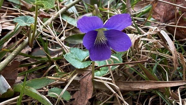
Pansies are a winter flower in these parts, and we’re coming to the end of pansy season.
BTW, I learned the other day of ensete/enset (Ensete ventricosum), which is the principal traditional starch food of Ethiopia (for 20 million folks) and neighboring lands across eastern Africa. It’s in the banana family, and it looks like a banana plant. And I had never heard of it.