We drove…we arrived
Saturday, 13 June 2026
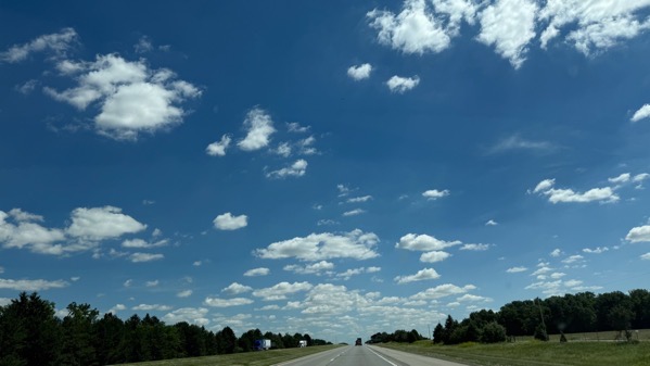
Clouds #1.

Clouds #2.
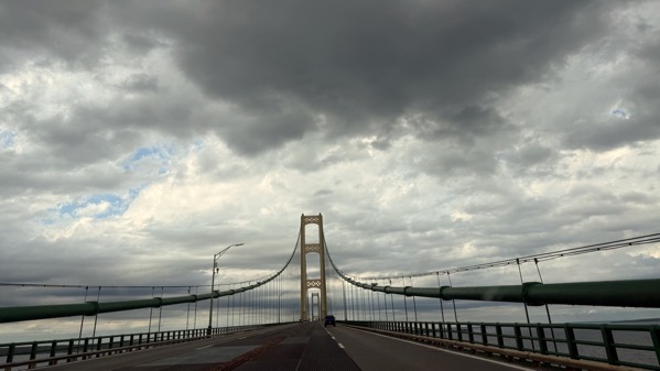
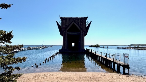
Overcast at the bridge, but not threatening as it appears.
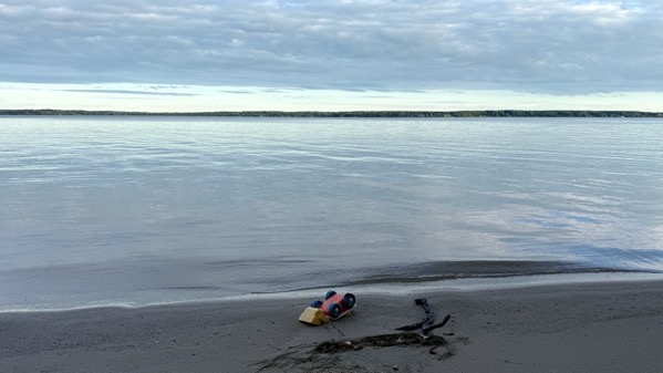
Jetsam.
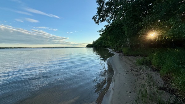
Approaching sunset.
Saturday, 13 June 2026
Clouds #1.
Clouds #2.
Overcast at the bridge, but not threatening as it appears.
Jetsam.
Approaching sunset.
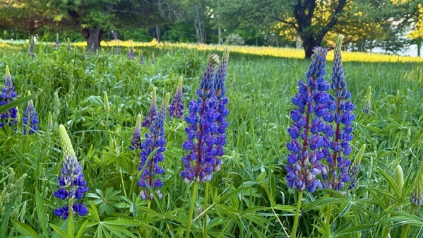
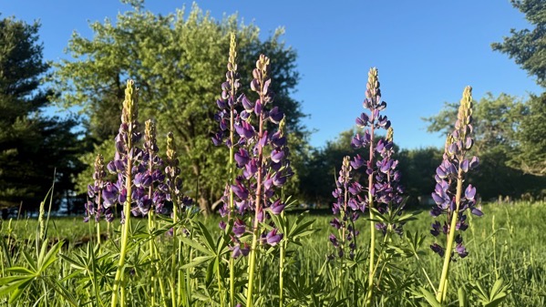
Sunday, 7 June 2026
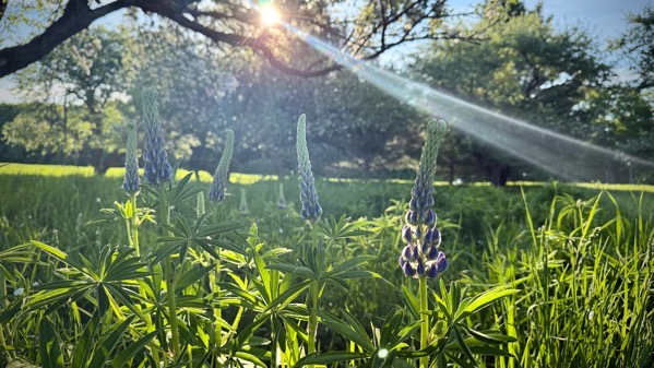
Early-ish, I braved the dew-wet grass to capture an image of the sentinels; however, the shadow makes them less interesting.
Here’s another group, far better lit.
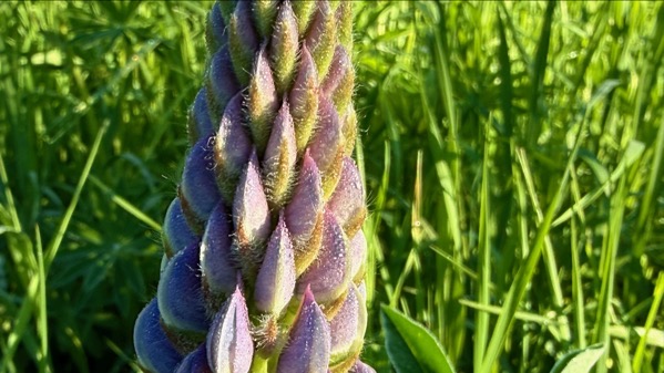
I thought I was seeing tiny dew drops when I took this, but maybe it was just lupine hairs, now that I examine them enlarged.
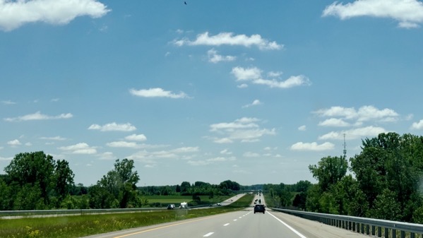
Ordinarily, I would post an image of The Bridge on this travel day, but I’m mixing it up and posting one of the view south from what my family called The North Country Hill. It’s just north of Clare, and I assume it’s glacial, perhaps a moraine. Without the contrast of passing through the rolling hills to the north, it doesn’t look like much. Bridge photo next time?
Saturday, 6 June 2026
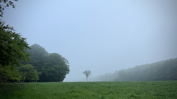
Overnight rain produces morning fog. That elm survives on the north fenceline. I think twenty years ago there were a trio. Such is the power of Dutch elm disease.

I neglected to look up what this is, and just named the photo beaut.

I discovered there are TWO flower stalks on the rhubarb. This is the same one as in yesterday’s shot.
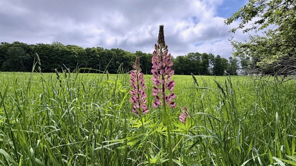
Two pink lupines, contrasting with their purple-blue brethren.
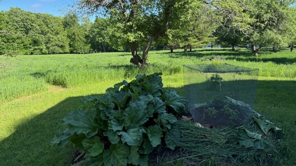
Here’s this year’s “garden.” There are four basils under the squirrel cage. It kept squirrels away in ATL, until there was too much shade for veggies. Then, I brought it up here, where it keeps the deer from dancing on the soft soil. I noticed a goldfinch under it this afternoon, but by the time I got out to free it, it was gone. [I’ve covered the flanks of the mound with grass and rhubarb leaves to reduce evapotranspiration.]
Wednesday, 3 June 2026
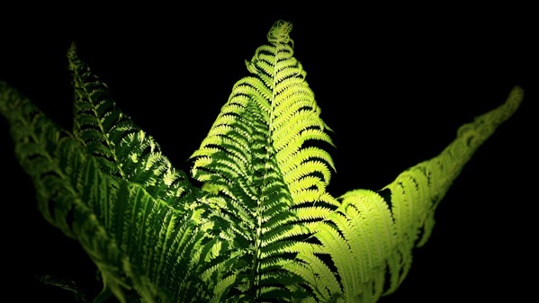
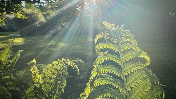
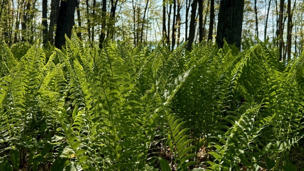
Fern art.
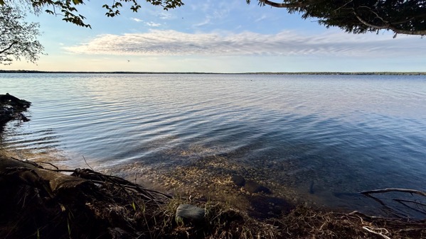
Quiet water (morning; wavy in the afternoon).
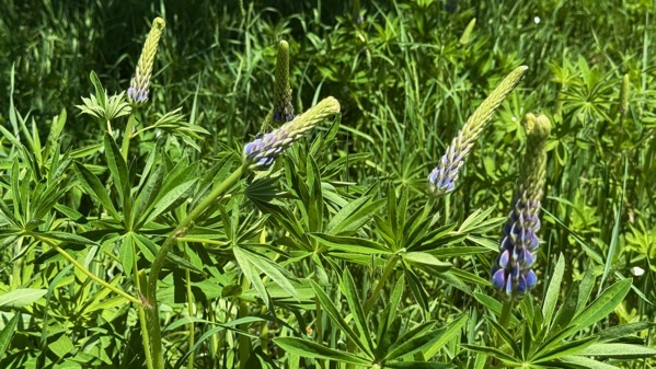
Lupine shot, morning. I meant to take another in the afternoon, but…got distracted.
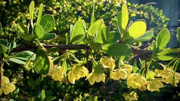
The barberries and apple trees are noisy with bees. Bumblebees particularly favor the barberries, but are difficult to photograph, so I present only the barberry blooms.
Tuesday, 2 June 2026

First light (ish).

First apple petals blown off the trees in large numbers.
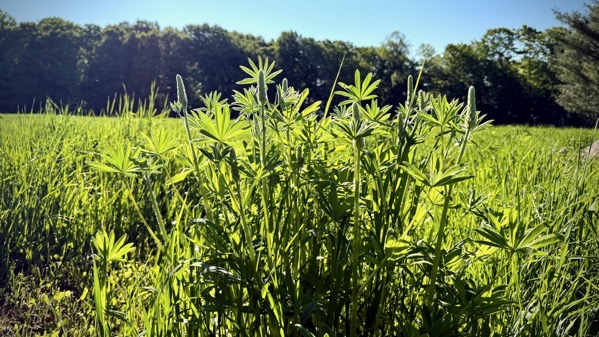
First color showing on lupines.

First bath in the lake. I visited the fishes.
First ferns all the way unfurled.
Monday, 1 June 2026
Despite it being dry, the lupines are rolling into blossom-time.
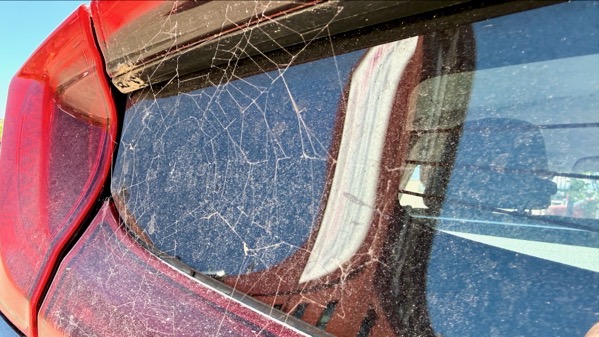
I discovered this decoration after driving to Marquette via the Seney-Shingleton stretch; clearly, it has lasting power.
That distorted building in the reflection houses the Vierling, a long-time restaurant-bar on the corner of Front and Main. We’ve been going there since the first time the Guru came to the UP.
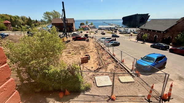
Here’s the view from the Vierling. That construction site will be a five-storey Hilton property atop a parking garage, which means it’ll block this view of the Marquette harbor. Progress.
This is the remains of the ore dock, with no attachment to the land that would facilitate human exploration. I guess the powers that be figured these ruins were safe to leave unsupervised.
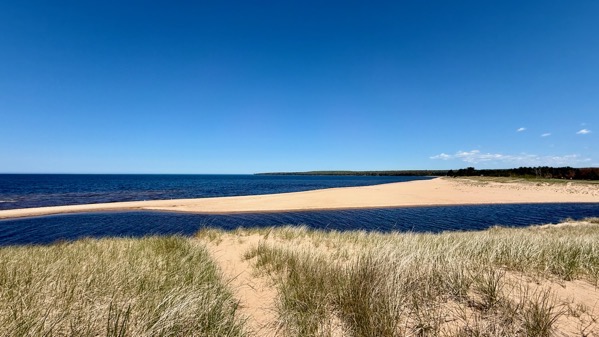
On our return leg, we stopped on the dune-top on the west side of the Au Train River, where it dumps into Lake Superior. The lake-ice has shifted the river mouth so that there’s no beach on this side. That winter-ice is powerful.
Saturday, 30 May 2026

Our cottage sun-up is delayed by the woods. This was at 7:12am, and filtered through an apple tree.

Midday, I was out assessing the rhubarb crop, and found this grey treefrog hanging in the shade.

When I returned later to do the picking, it had relocated. I picked eight stalks, and took the resulting rhubarb sauce to a potluck next door, along with some boughten (as my child-self would have called it) ice cream. Success!

Returning from socializing at 10pm, I had to photograph the moonrise. Note a few pixels of reflection off the lake through the trees.
Thursday, 28 May 2026

The earliest of the apple trees opened today. Most of the trees in the orchard are still in bud. The Siberian apple is one of the ones that are abloom, and I’m wondering if the pollinator trees are opening first. Certainly, I’m glad it’s warm enough that the pollinator insects can be active.
Wednesday, 27 May 2026
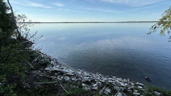
This morning, I walked through the woods to the other side of the point. There’s no beach, so no beach strolling, just picking my way through the woods avoiding trilliums (most not blooming), ramps, sticks, muddy spots, and the like. The lake looks swollen to me, even without the beach-less margin. In fact, “high water” does not even come close to the present condition.
The ferns continue to unfurl, as you’d expect.
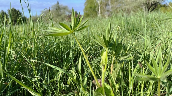
In the field, I found the first lupine bud, a bit ahead of the masses.
Friday, 22 May 2026
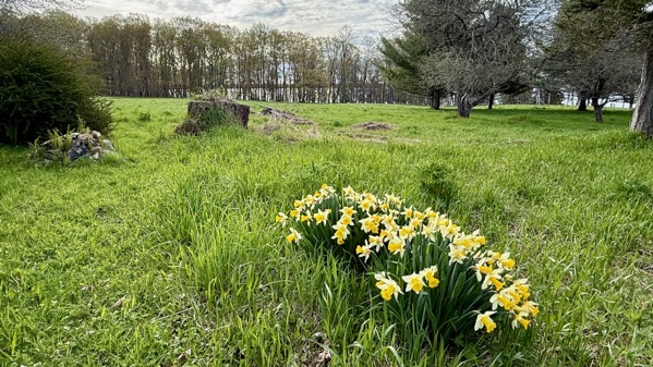
Relatively overcast at 8:44am. By the way, that’s the stump of a huge white pine that had two main trunks. It became storm battered and had to be cut down so it didn’t fall on the cottage. This was some years ago. The chainsaw guy had been cutting trees in the woods and elsewhere for decades, and said it was the largest tree he’d ever cut down. I think it was planted in my great-grandfather’s time.
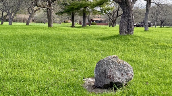
This was just a few minutes later, and you can see the sun was making inroads on the overcast. The cottage looks much better from this distance rather than closer up.
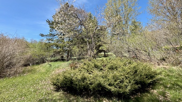
1:26pm. Sunny and almost totally cloudless. That’s a large sour cherry tree, with a gap in the middle. It has lovely dead-white blooms. You can see that the leaves are barely showing pretty much everywhere. (Evergreens don’t count.)
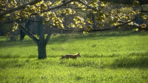
A vulpine visitor came through about 6:40pm, first heading west on a deer trail, then turning north on the driveway, here. If you read the title and get curious, thanks for sticking through the tedious-yet-informative weather-and-vegetation photos. 😉