Musings

You expect if you revisit the same spot at different times the light will be different and other things, too. In this case, morning ducks…
…became a pair of afternoon loons.
I almost think I can see that the foliage is more leafed out, but that’s probably my imagination. Happens fast here, however. [Sorry, the loons ride low in the water, so they are difficult to spot…persevere.] 😀
Posted at 9:08 PM |
3 Comments »
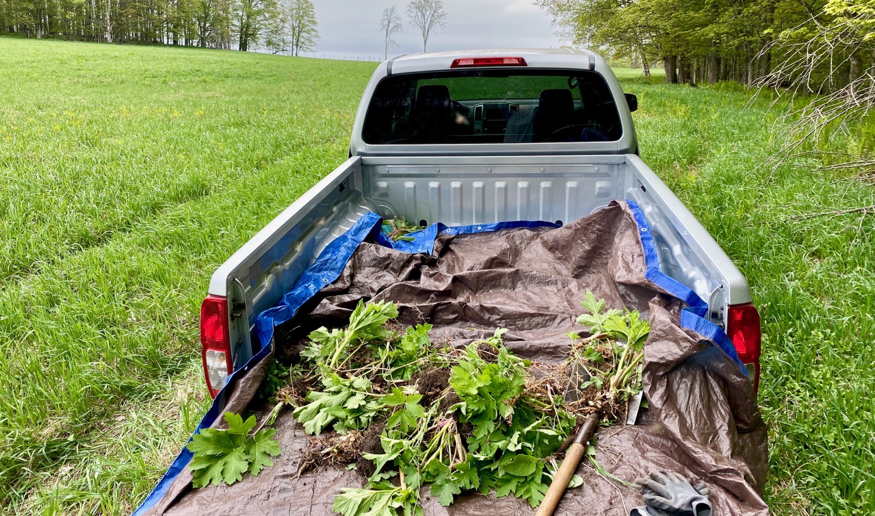
After coffee and whatnot, this was my morning exercise…more eradication of cow parsnip. And a few odd burdocks that I came across. Quit when sweat rolled off my nose and the mosquitoes joined the blackflies. Enough!
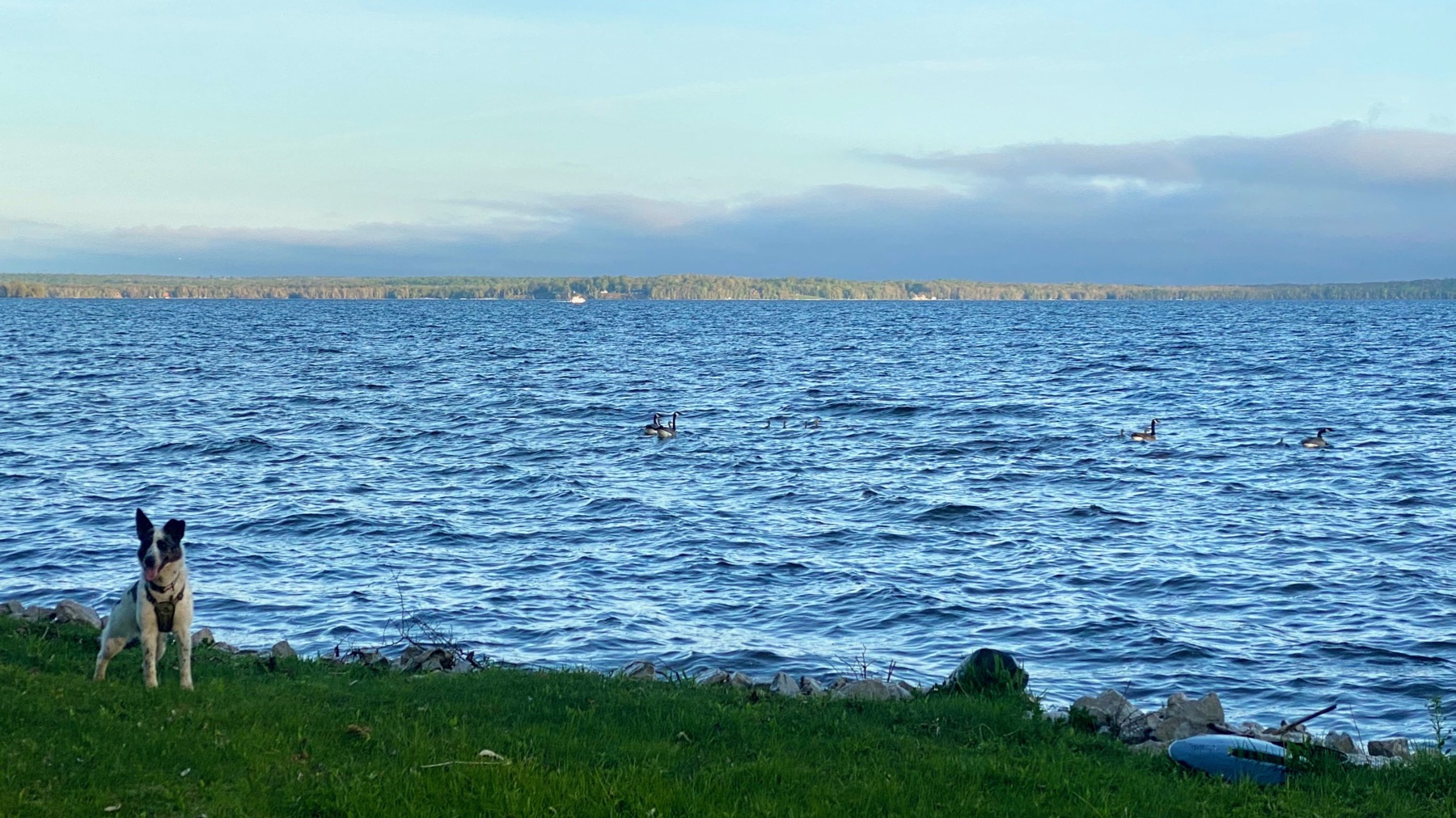
And at the end of the day, after a fantastic meal shared at the proper distance, I went down to the water to get a shot that I hoped would capture the way the distant shore was alit. Kinda. The geese took off when they saw me coming; the dog came later and didn’t chase them, although that’s what it looks like. Later I saw her biting the waves breaking on the shore. Young dog behavior. BTW, two pairs of adult geese, each with four goslings. 💩
I selected these two shots and then realized the sky was so different. And between: bright sun. The last three days we’ve been hearing we’d get some rain during the past 24 hours, but nooooo—rather dry, except the way-too-high water in the lake. 😧
Posted at 9:19 PM |
Comments Off on Changeable sky

Rain this morning, and more coming.
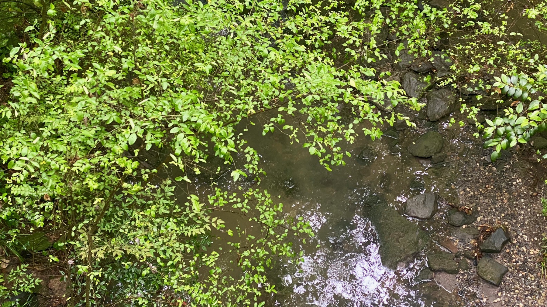
The creek will rise.
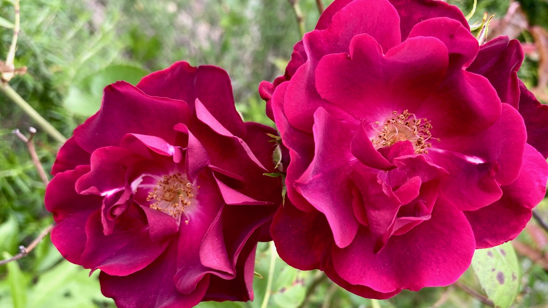
A rose is still a rose…

…even if it’s a big plant with lots of blooms.
Posted at 6:57 PM |
Comments Off on Precip reigns (haha)
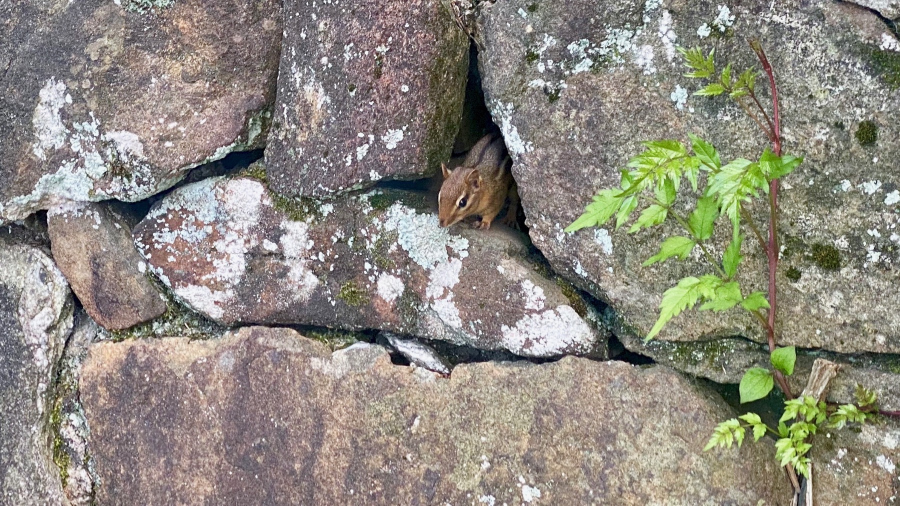
“Found objects” is a bit of a stretch, although it gets at what I’m thinking…. A chipmunk is not an object. You can quote me.
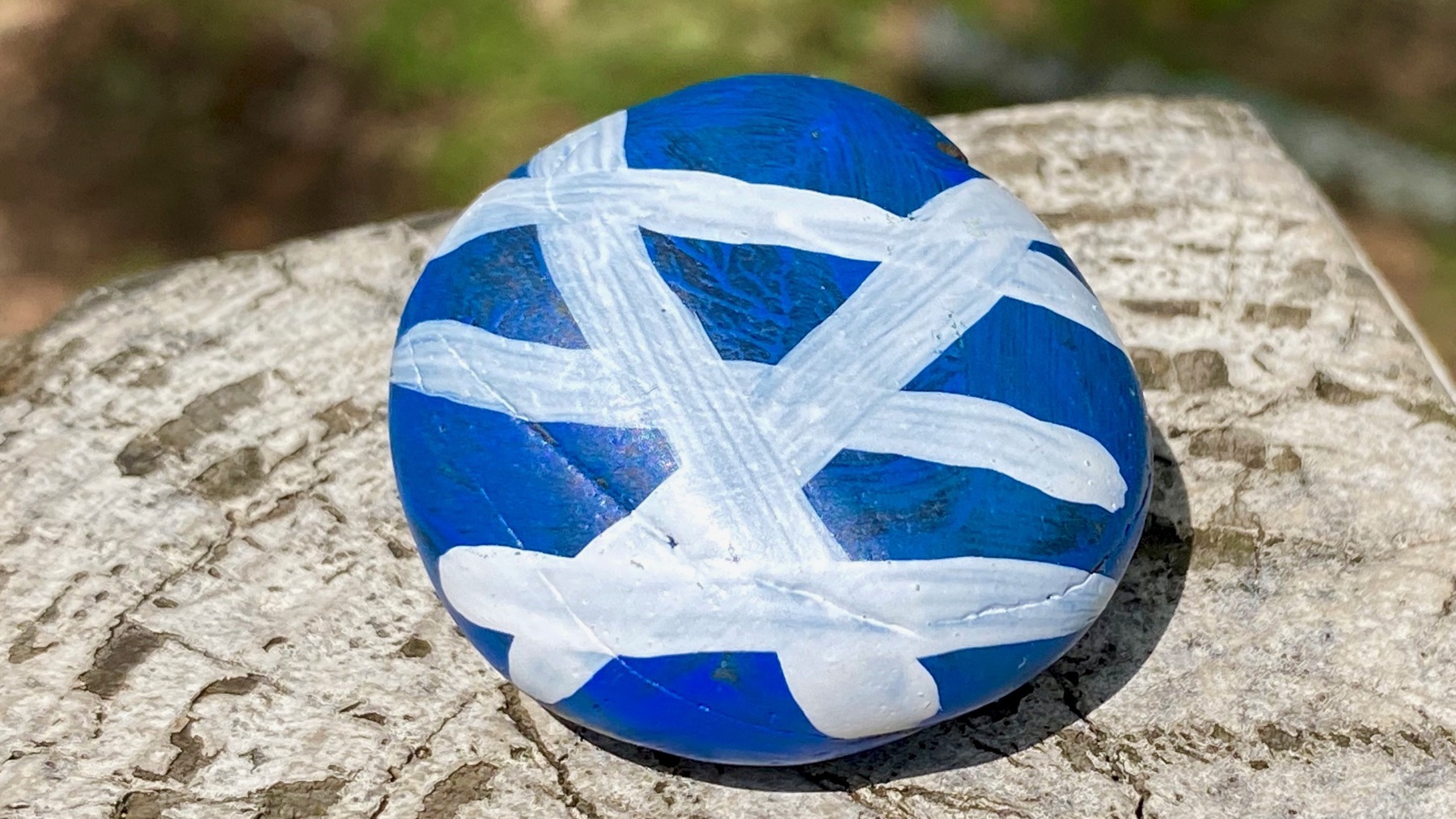
Artsy rock. Is this an Easter thing, to paint rocks and put them out instead of eggs?
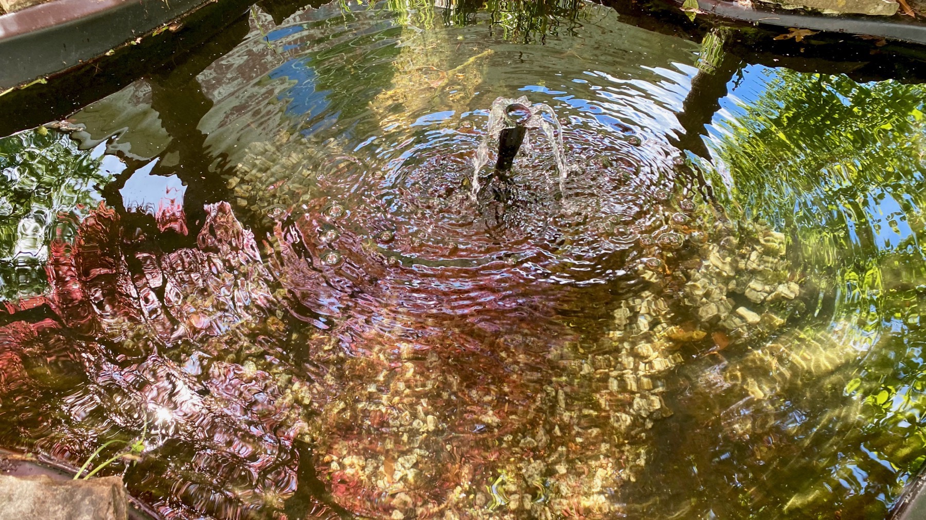
Cement pond. The maroon color is from an Acer palmatum looming over the pond. Interesting light filter.
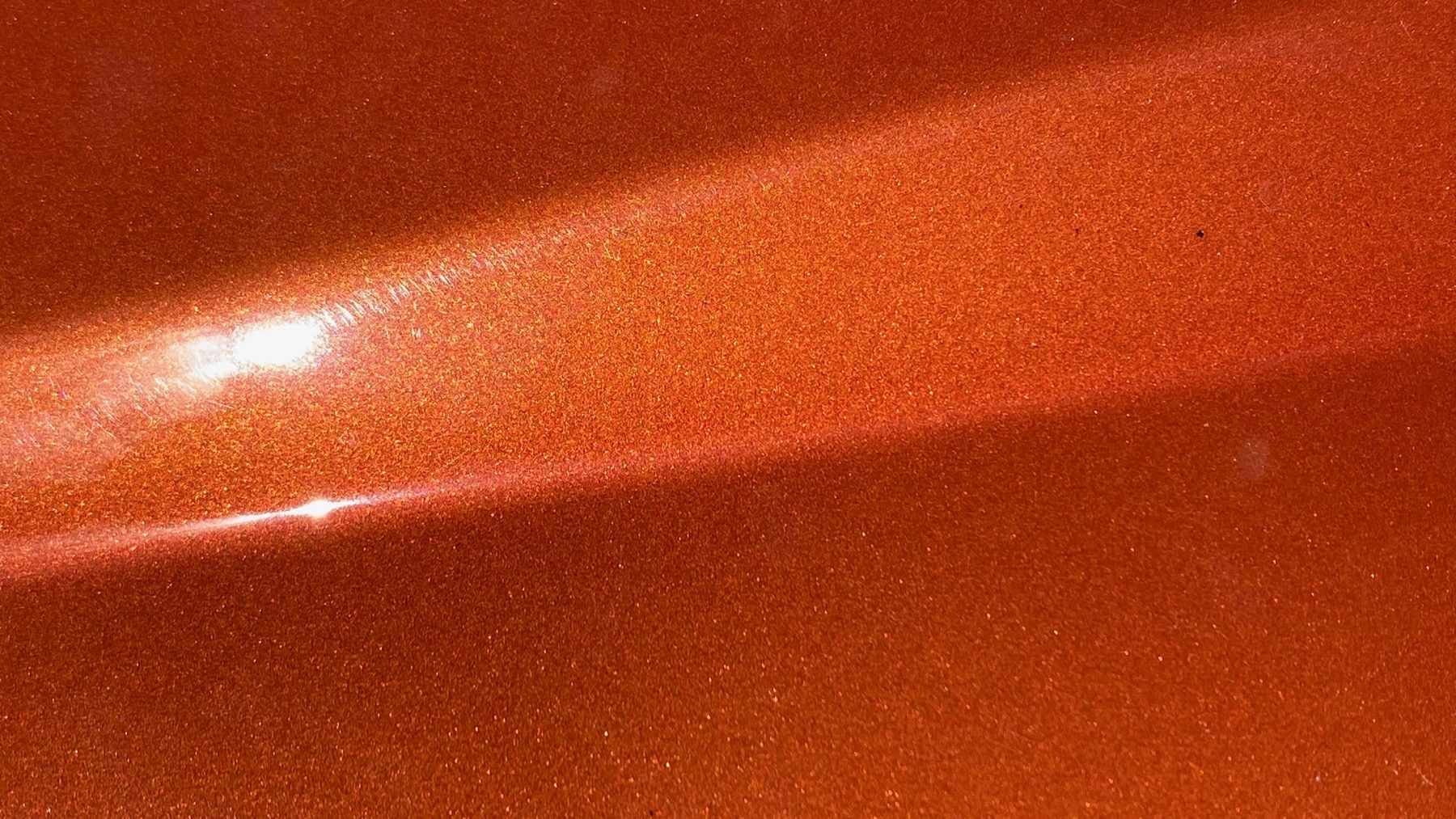
Another metallic paint study: burnt orange this time.
Posted at 8:40 PM |
3 Comments »
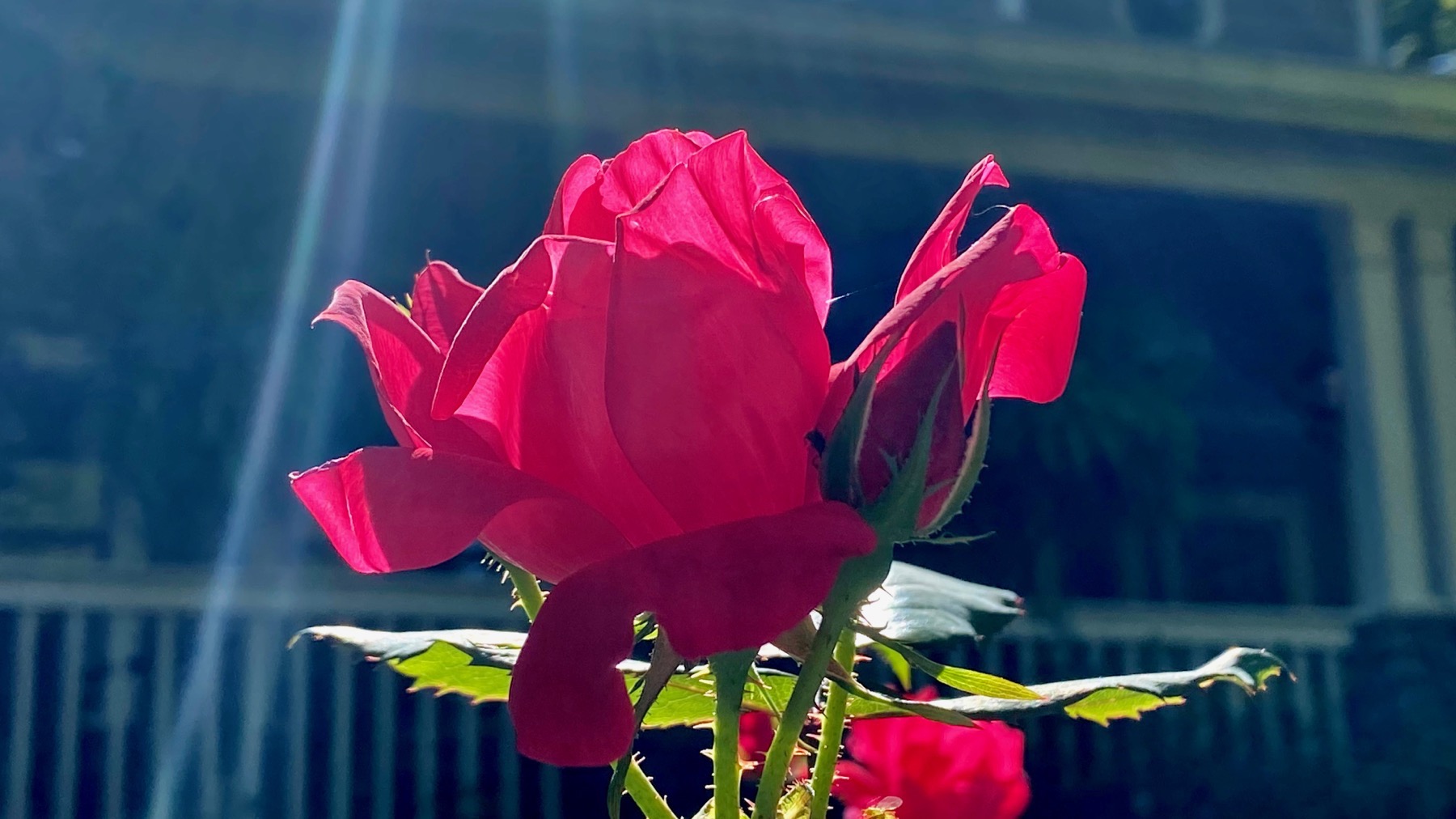
The light was spectacular this morning, making this rose have gem-petals.

What a color combo! I don’t know what this is named.
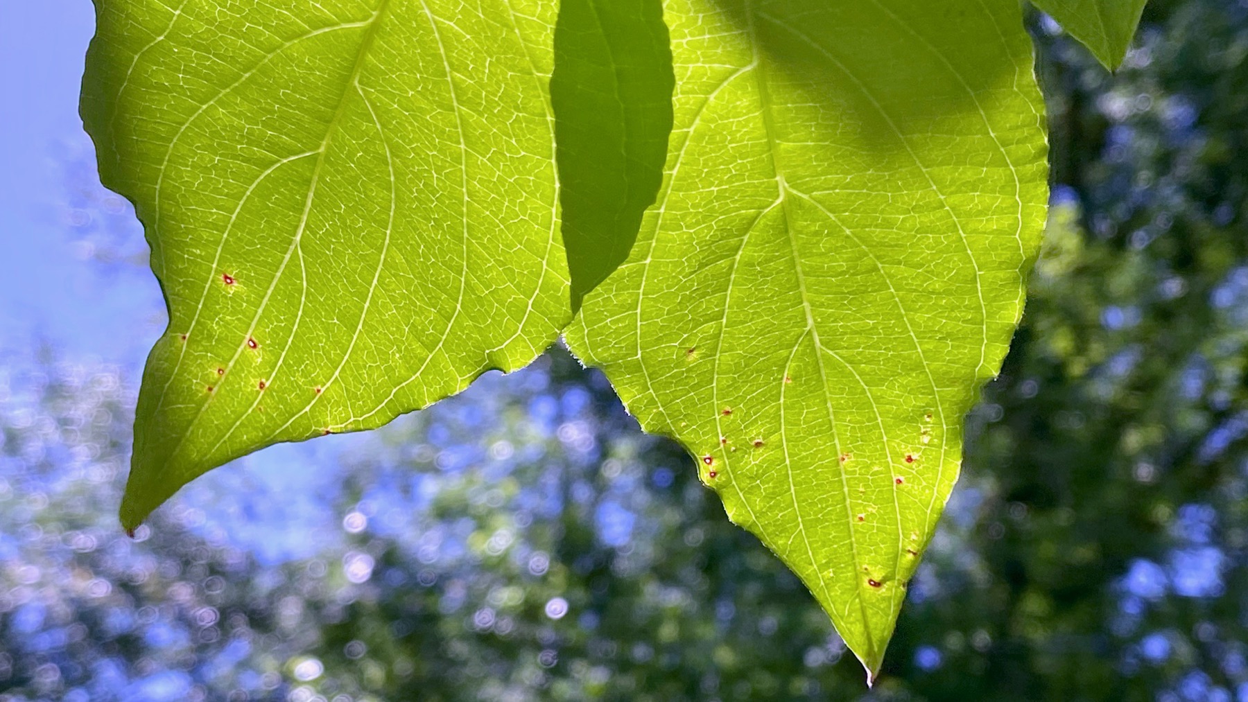
Dogwood leaves. With oww-wees even before they’ve finished growing.

Finally, here’s the fallen façade. There’s a stump above, and I’m guessing the growing tree popped the rocks, then the tree was removed…but the tree removal could have popped the façade. Your hypothesis?
Posted at 8:20 PM |
Comments Off on Fallen façade fiction-writing
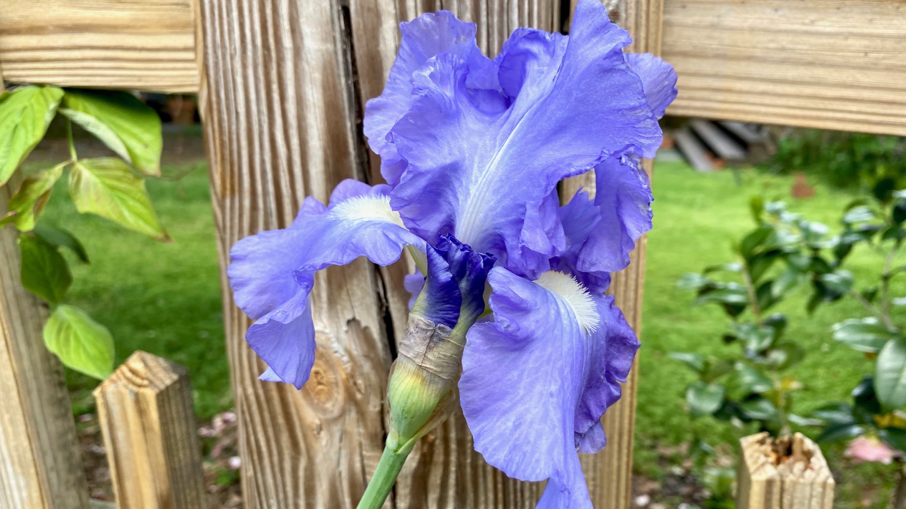
Iris, supported by the fence post after last night’s storm.
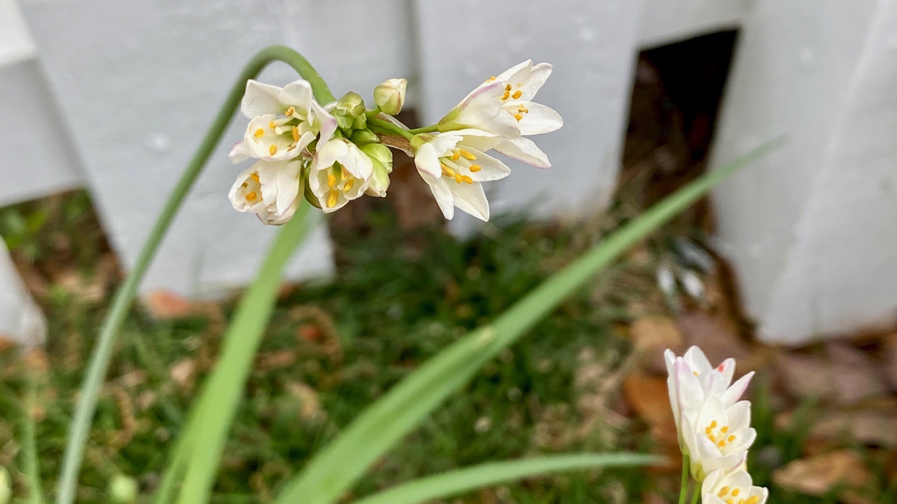
Flower unknown to me; white on white.
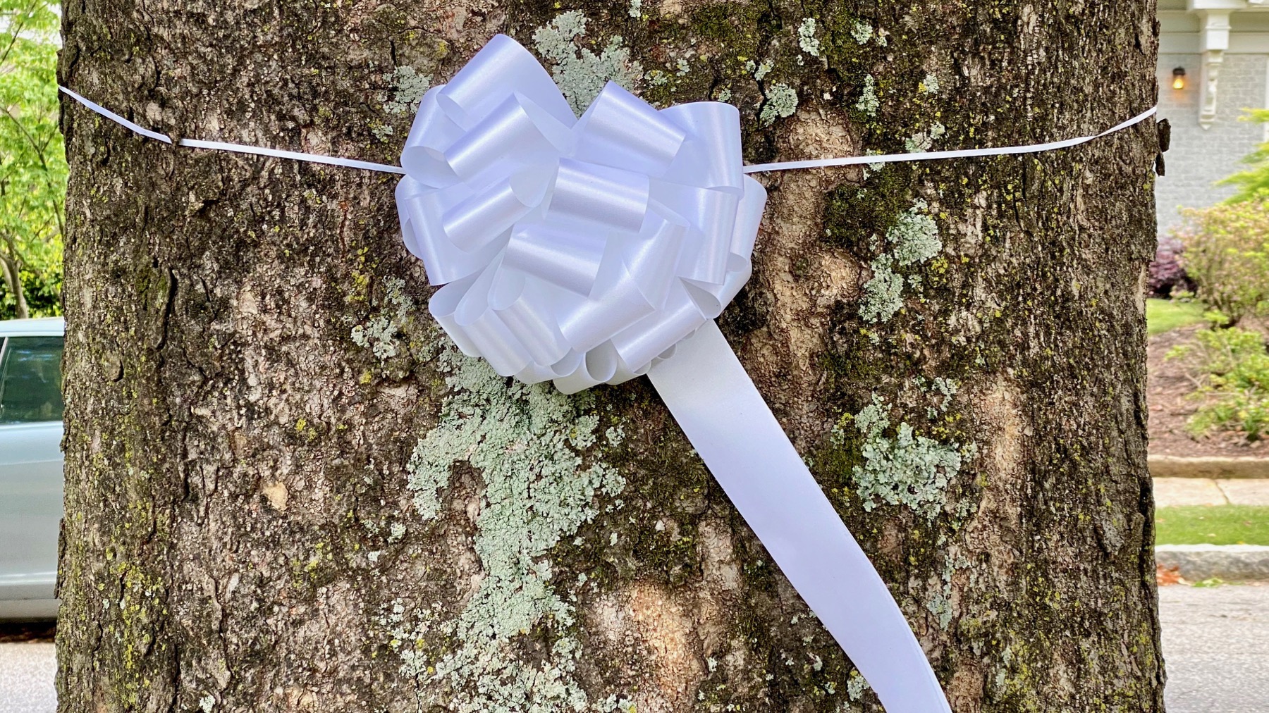
My hypothesis: tree awarded white ribbon for excellence in lichen nurturing.

Red, red car with ribbon reflection from rear-view mirror, and pollen sprinkles.
Posted at 9:38 PM |
1 Comment »
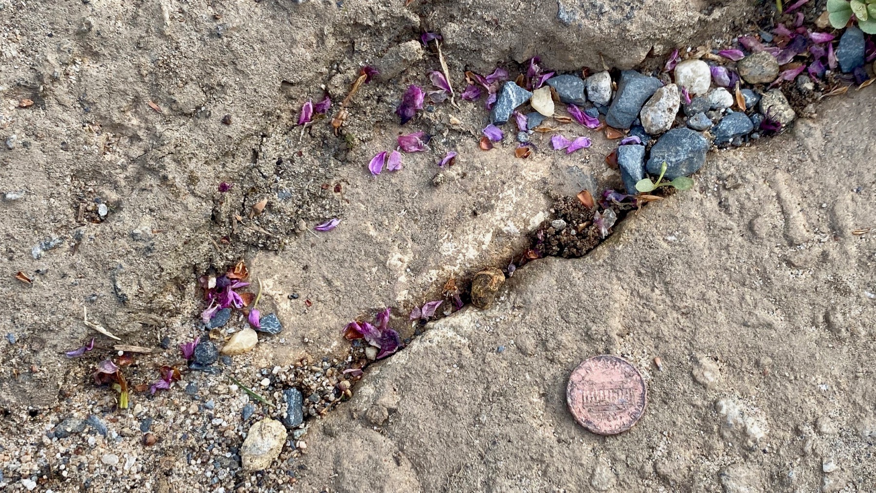
Gutter penny! In these days of heightened awareness of germs, I let it lay.
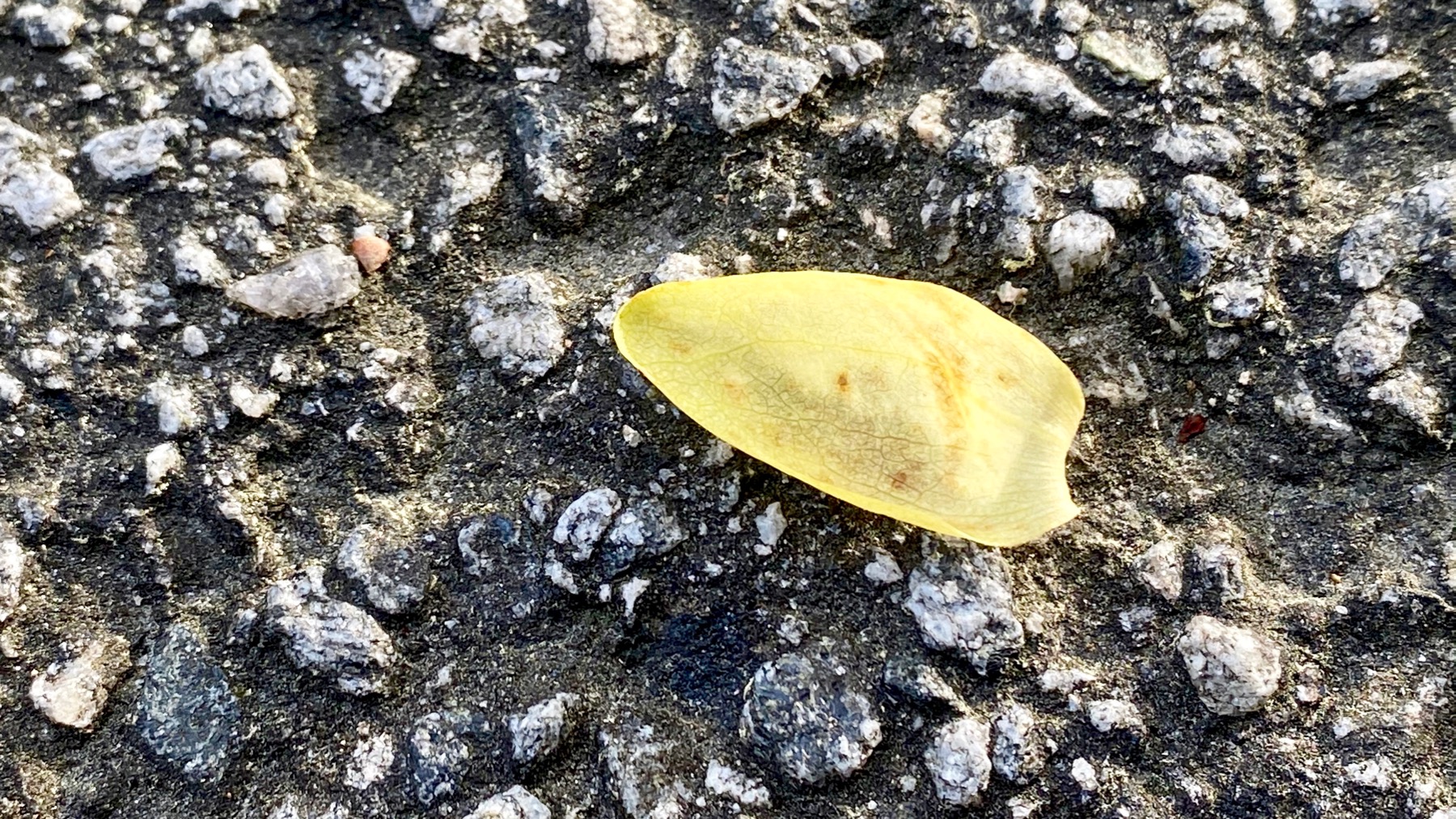
I think of this as a tulip poplar petal, but that is not probably the proper name for the plant part to a botanist. Which I am not.
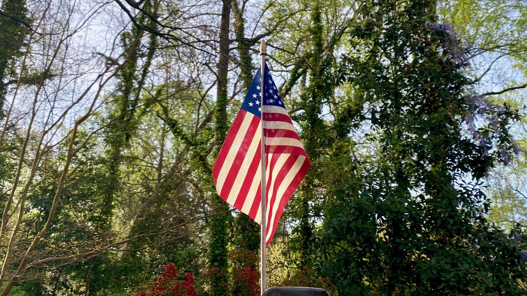
I wasn’t only looking down today (so as not to trip). Perfect backlighting on this plastic US flag. It appears to be an all-weather flag, despite that proper flag code/protocol, as I was instructed anyway, means that when the sun goes down, a flag must be lit if outdoors….
Posted at 7:29 PM |
Comments Off on Look down! Look up!
As the unknowns mount, mostly beyond my control, I decided that as I walked I would focus on what I knew in the moment, and make that my stability.
I strolled and opened my awareness of my senses. Sniff. [Sounds hokey…but but but.] Sniff. I discovered I was bathed in wafts of the scent of blooming Malus. Substantial trees and high branches loaded with flowers emitted fragrance that permeated the air.
Lovely. Real.
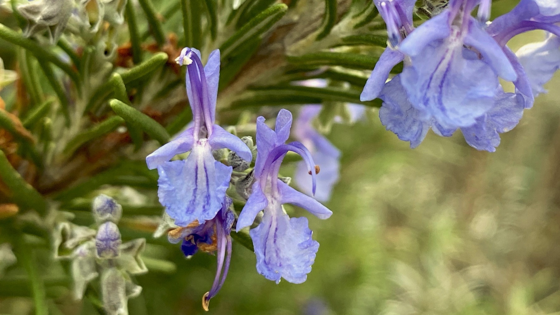
I found rosemary blooming. I had to be close to get the scent.
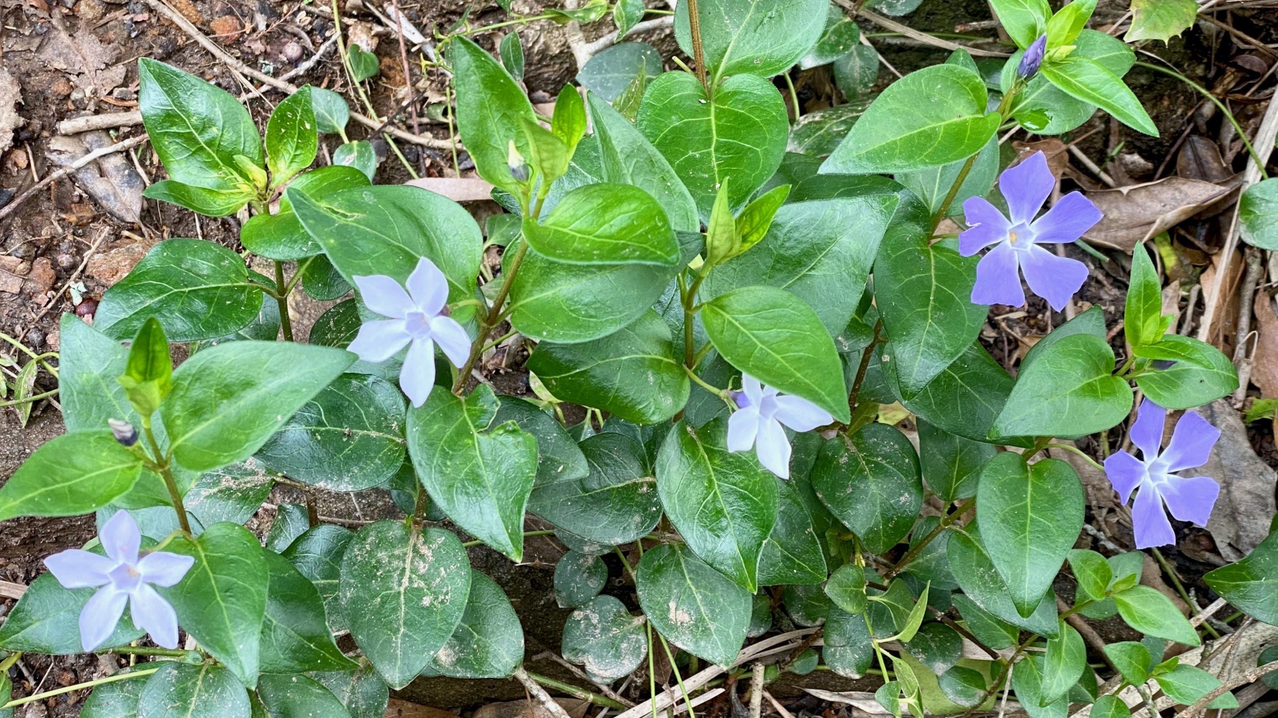
Periwinkle aka good ol’ Vinca. Did not kneel down to nose these.
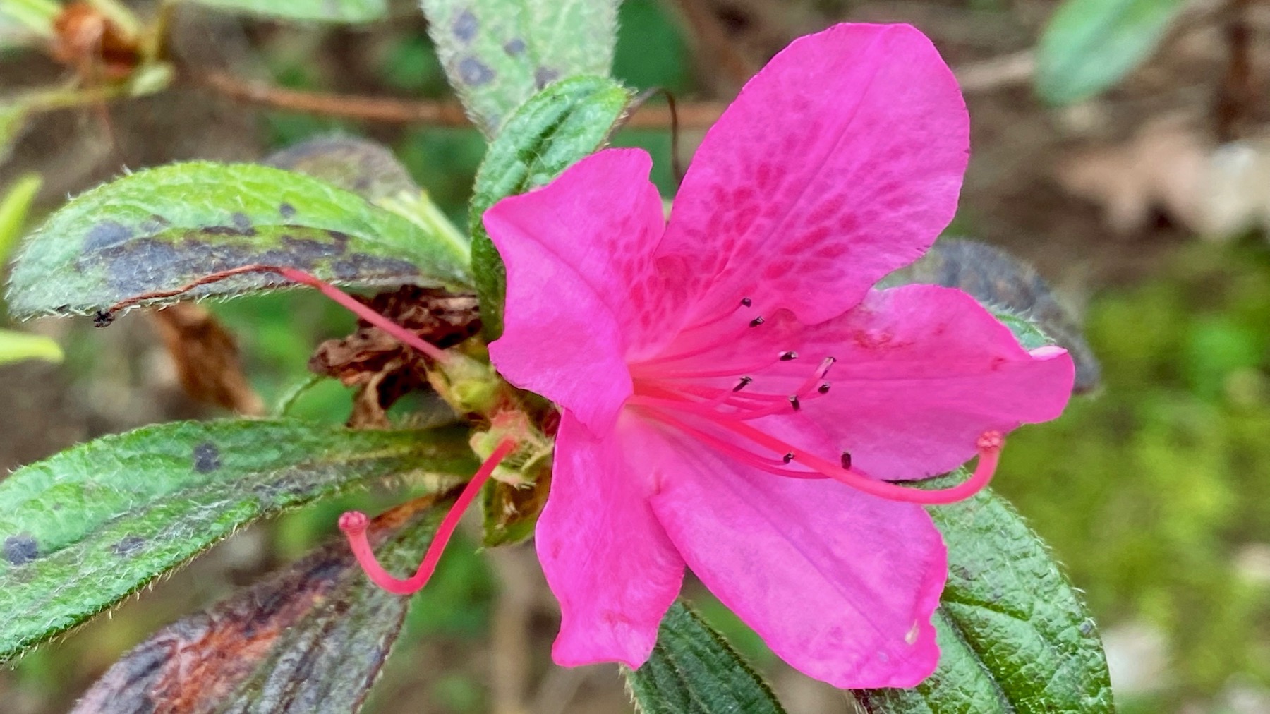
And this azalea was too far for my neck to stretch.
Many pop-culch associations with that phrase. I’m just thinking of the meaning, strictly speaking, and not the myriad ways it has been used. Kinda like focusing on scent while perambulating through a turbulent world.
Posted at 7:48 PM |
Comments Off on And so it goes
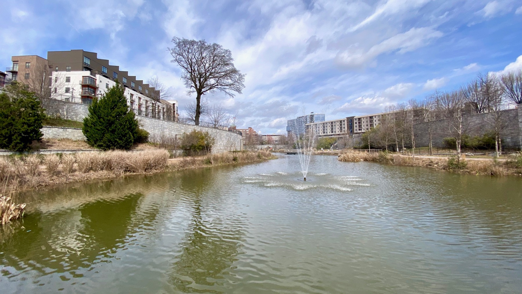
Old Fourth Ward Park: still no leaves.
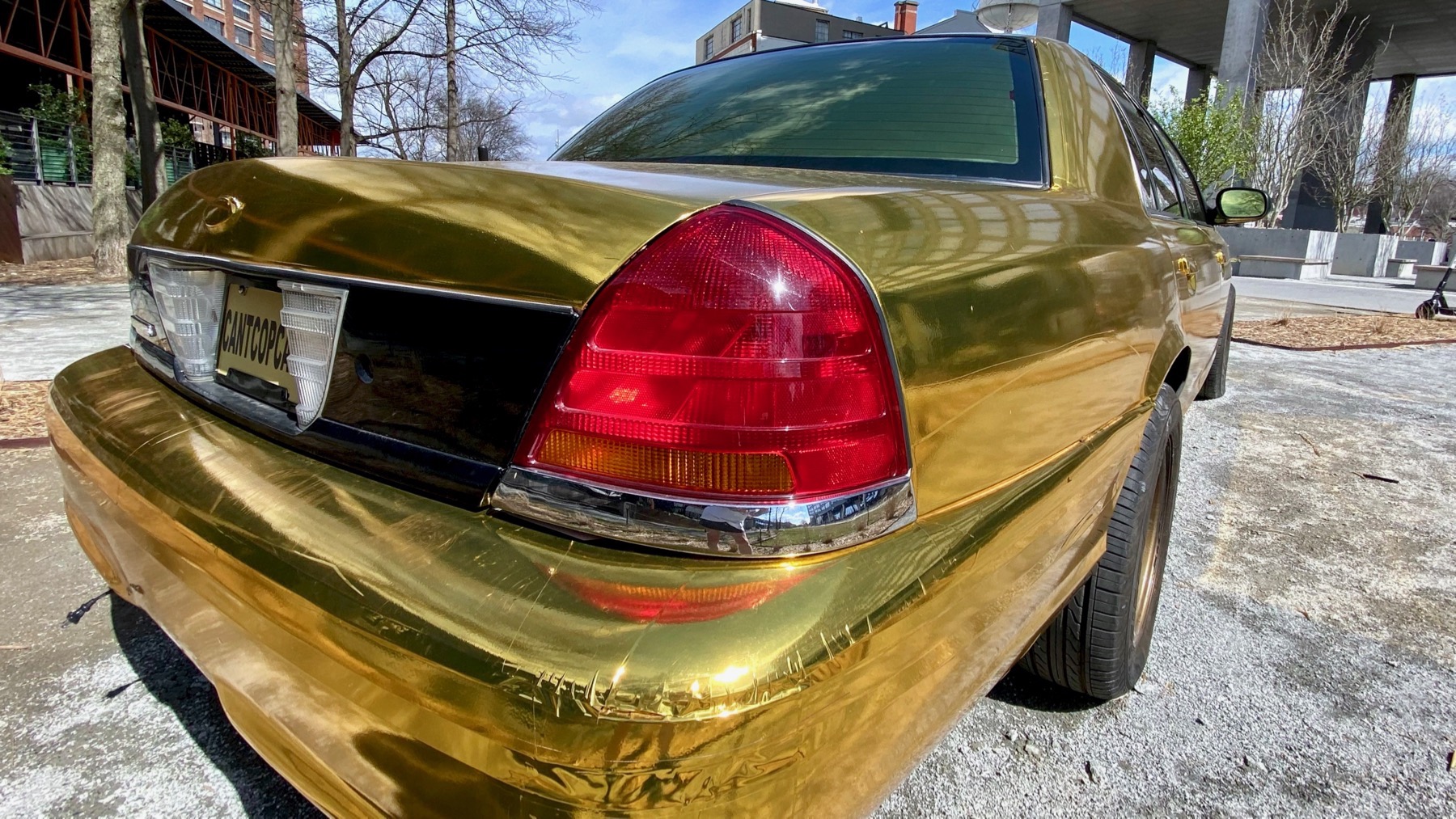
Also revisited the Gold Ford. Front right tire is getting soft, BTW.
Posted at 7:09 PM |
Comments Off on Wide wide world
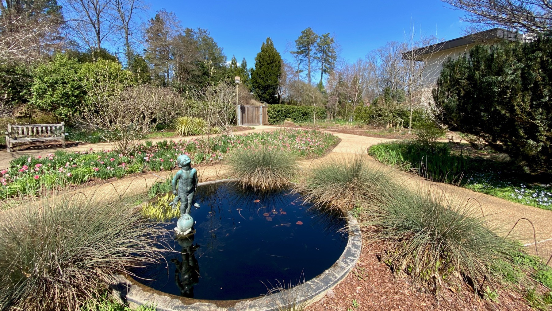
You see the frog-baby, and you know we visited the ATL Bot Garden. And: note clear sky and sunshine. [We won’t discuss the accompanying windy conditions.]
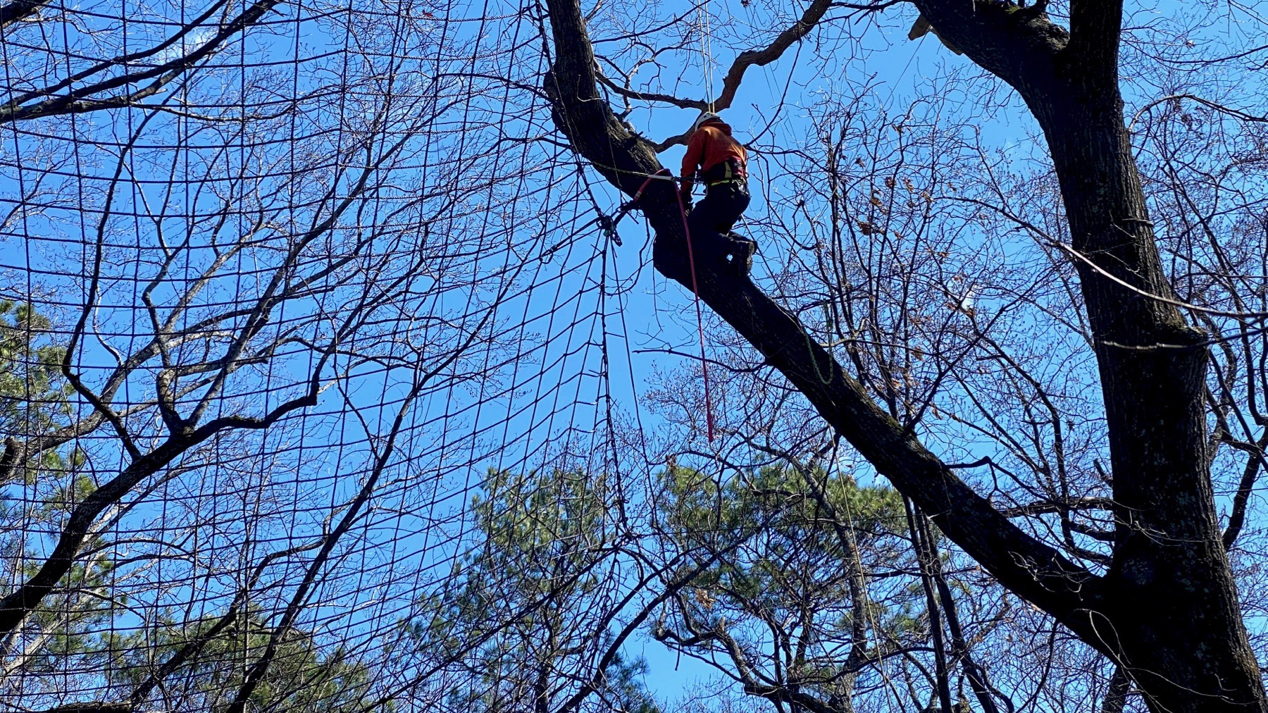
Found women (volunteers?) weeding and tidying, and this guy, the only guy outdoors, tree-climbing. We saw three ropes in the area, but only one man, so did one guy (this guy) wrangle three ropes, or did this fellow’s buddies desert him for a late lunch break?
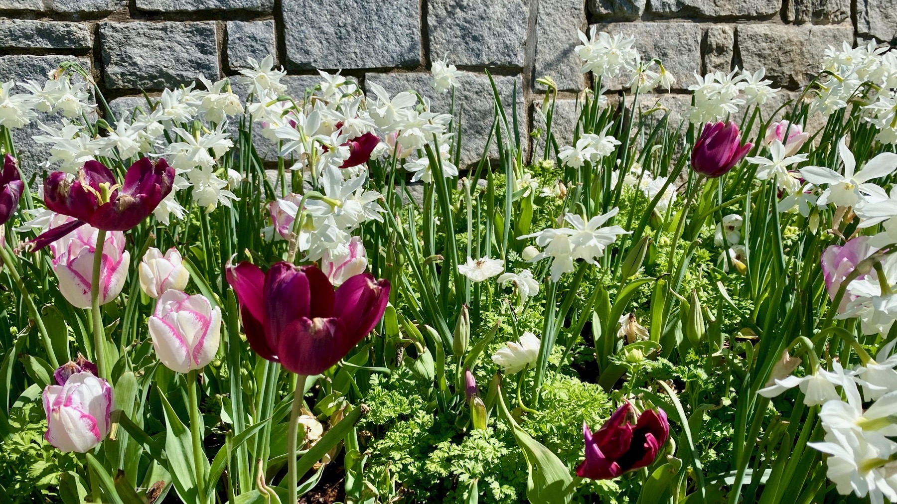
Bulbs are champs.
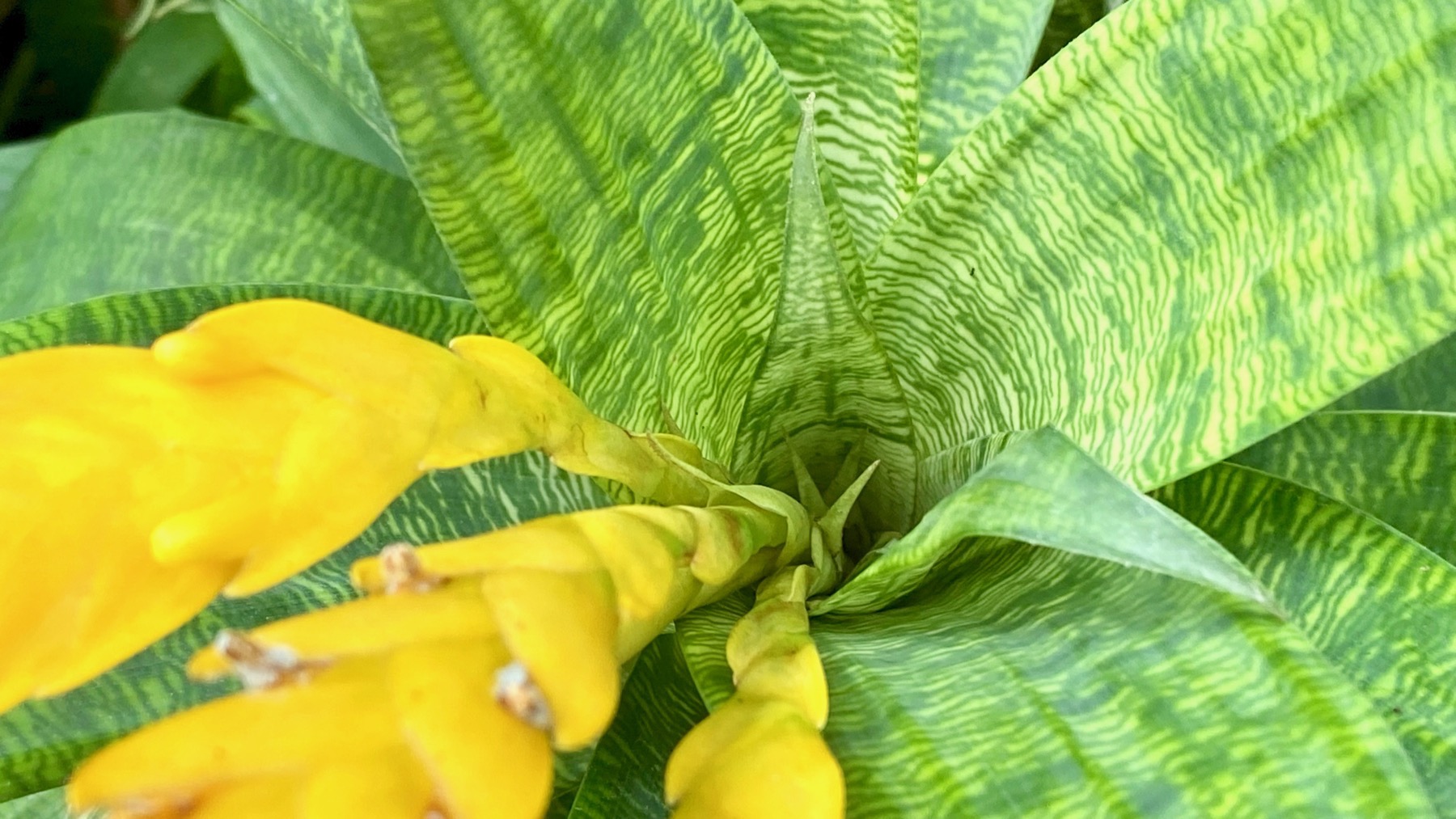
Hothouse foreigner.
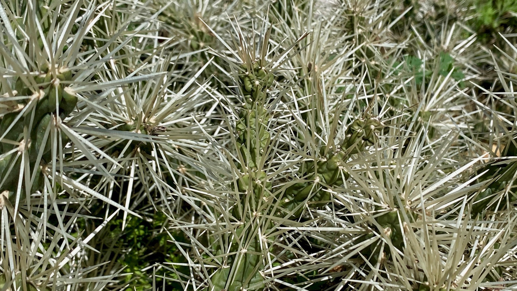
Spines! …in the expanded cactus garden.
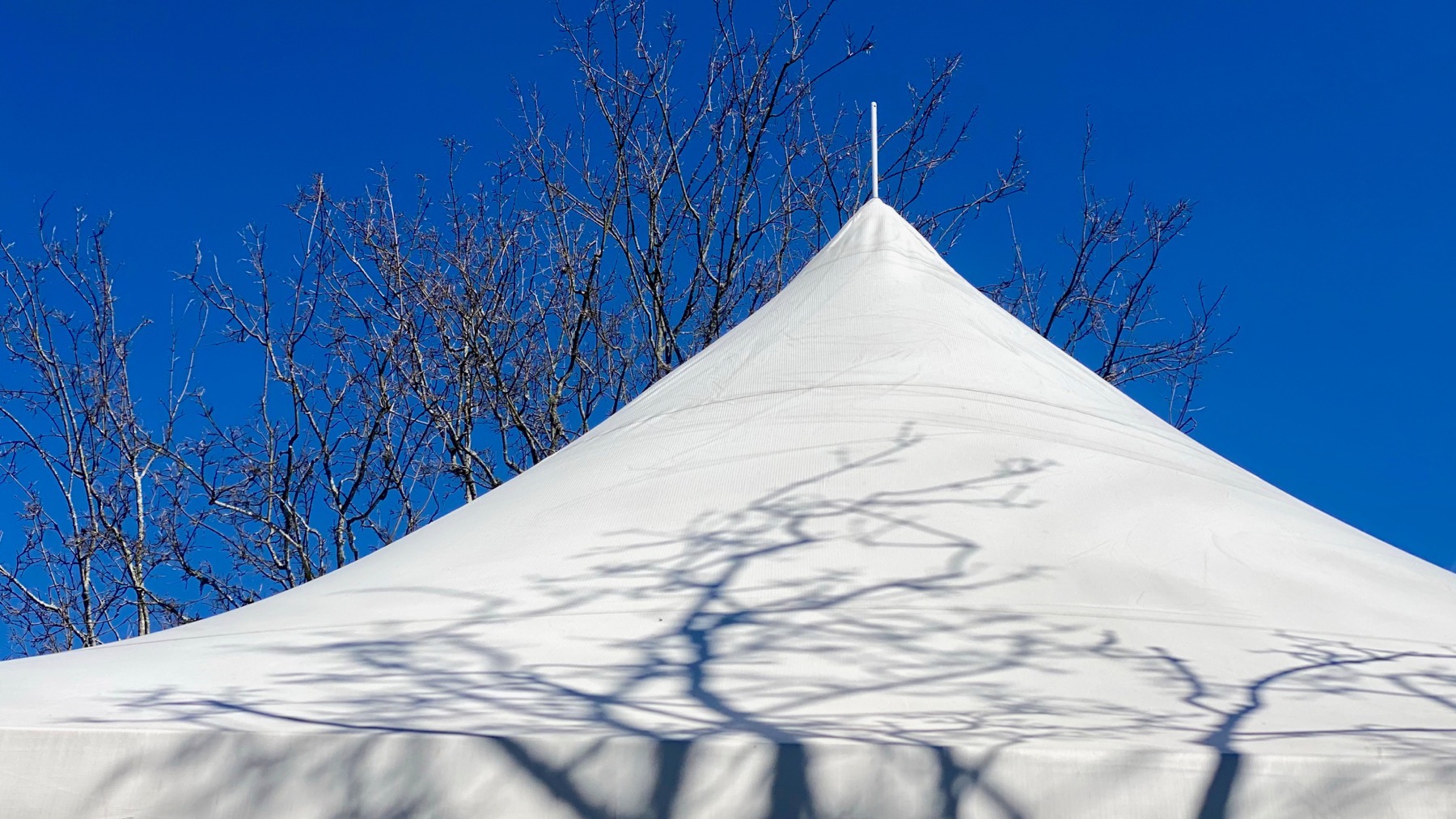
Temporary architecture. In Spanish (or the Spanish that I learned in rural México), this is: toldo con sombra.
Posted at 7:37 PM |
Comments Off on Clear sky