Musings
You know how you start on one task, and it somehow spawns other tasks? Today’s spawn-task was emptying the vacuuuuuum. This was right after the emptying, hence all the dust bits, I assume static-attracted to the plastic housing.
Posted at 9:32 PM |
Comments Off on TMI?
This houseplant perseveres, despite living outside for most of the summer. It is definitely inside tonight (and lately), as the temps will be wicked cold tonight.
Speaking of persevering, I was going to write about this yesterday, and forgot. My AppleWatch gives me a monthly goal, which changes every month, although the themes repeat. Often they require 14 days of doing something during the month, which means only weekends are not enough. This month, I have to get (earn in Apple-lingo) at least 96 “exercise minutes” on 14 days. Yesterday, I had 11, which is good for half the month. Today I have 12, so I’m well on my way to getting a fine symbolic Apple-attaboy.
Posted at 9:33 PM |
Comments Off on Continuations
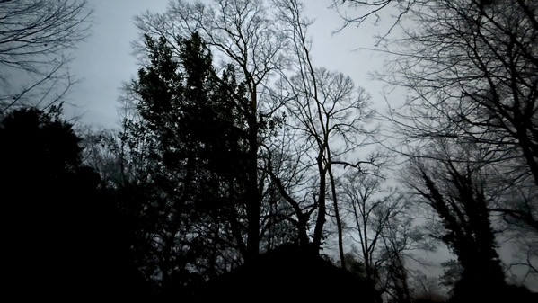
We had an eerie defocused pre-dawn, then things cleared and I moved leaves around in sunshine. Now, the wind’s kicking up, and the first of two waves of cold-cold is coming in.
Posted at 9:50 PM |
Comments Off on All-weather

At our Xmas gathering, our hostess gave us each a scratch-off lottery ticket. This tradition began to support the Hope scholarships that eventually funded our hostess’s college years, at least in part.
As the odds indicate, mostly none of us win anything beyond the occasional free new ticket.
This year three of the five of us had winning tickets, and somehow we ended up with all of them. The Guru cashed them in this afternoon, and got…tada!…$34. Woohoo!
Posted at 8:00 PM |
Comments Off on We’re winners
Met up with a buddy to walk in a nearby park. Turned out last night’s rain and the day’s overcast meant slippery steps. Oops, my friend went down, rather gracefully, slowly, right on her backside…ouch, too bad. Worse bad: her phone was in her back pocket. Super-oops.
It also turned out that neither of us looked closely on the map at the “park” we intended to walk in. All those nice looping paths are actually golf-cart trails…and behind a fence. So, we had a neighborhood sidewalk stroll instead. Small solace.
Posted at 10:02 PM |
Comments Off on At least: no snakes
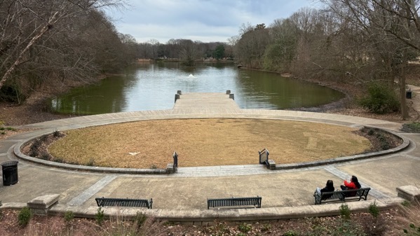
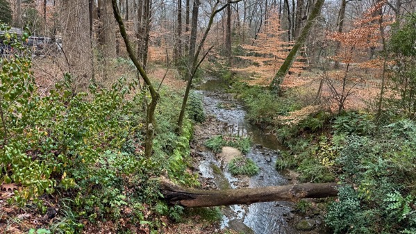
We walked in Piedmont Park this afternoon. Overcast, relatively busy. I overheard lots of Spanish.
The title is hubby-humor.
Posted at 9:33 PM |
Comments Off on New Year’s Day Boxing Day
Getting clean…a fine idea for beginning the new year.
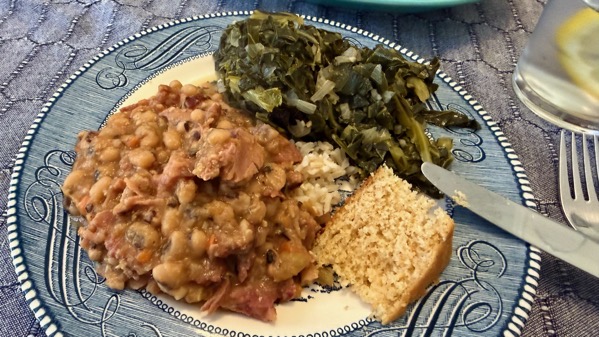
Traditional Southern New Year’s meal, also a fine idea.
As to the title, we were driving back to ATL from our tasty luncheon in the late afternoon. It turned out that we were driving into the sun, which on several stretches was directly in our eyes. This was additionally tricky because we were on a two-lane relatively rural road with no extra space between the pavement and the ditch. Tricky. The technical term is a sunshine slow-down.
A bit further along, we happened on lines of cars pulled off the road (just barely: narrow road, remember) and parked almost in the ditch, with people standing next to road or walking in the lanes to join clusters of loiterers. Very strange. We eased our way along, passing dozens more vehicles. Increasingly strange. Then, coming at us, driving slowly, we encountered a police car with flashing lights. And around another curve, we found a line of walking Buddhist monks, maybe a dozen, with a dog on a leash, following the police car.
I’m taking all this as good omens for our 2026.
Posted at 9:03 PM |
1 Comment »
We had some fine times this year (on a personal level). Still, I’m very much looking forward to 2026.
Posted at 9:58 PM |
Comments Off on Janus transition eve
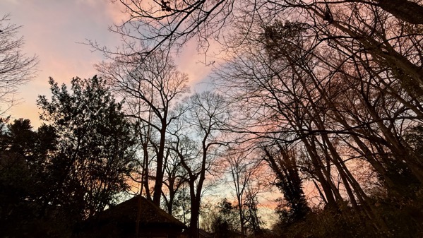
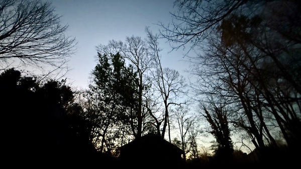
Here’s this morning’s dawn color. Exceptional.
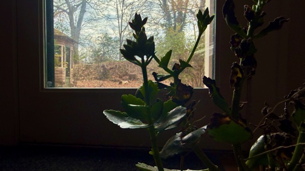
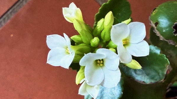
Indoors, this is the persistant plant that has survived being left on its own for weeks at a time (outside where it could get rained on). As you can see, it’s sending up buds again.
Posted at 10:43 PM |
Comments Off on Persistant

Once again I began the day enjoying the early-day sky.

We jaunted to a nearby neighborhood to partake of a small family brunch that ended with an offering of an assortment of kooooo-keys. Throughout we laughed and laughed.
Posted at 9:13 PM |
Comments Off on Stupendous