Musings
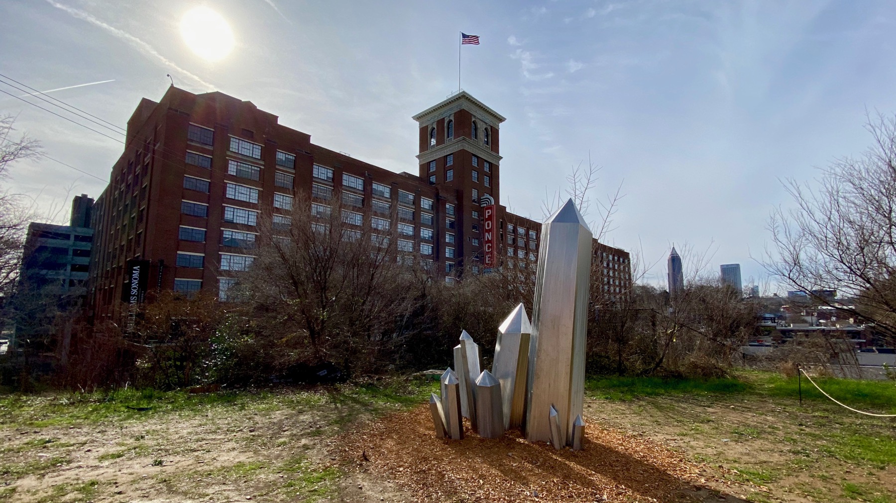
I have tried to embrace the wide-angle mode…mostly I don’t really like the results. This one I do like, however.
And the other side of the same building, albeit from farther away. And not ultra-wide; see, less distortion.
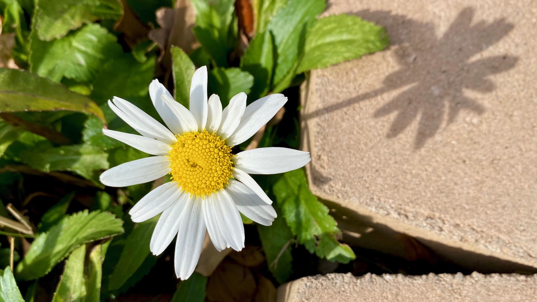
Oh, and a daisy. An overwintering daisy. Sooo weather-tolerant, this kind. Also, not ultra.
Posted at 8:25 PM |
1 Comment »

The former Masquerade club opened in the former DuPre Excelsior Mill (opened 1911) decades ago, and stayed groovy there for 27 years before mixed-use gremlins got the property. That transition has been underway for a while. The other day that rehab project…uhm, fell apart. haha Ooopsy.
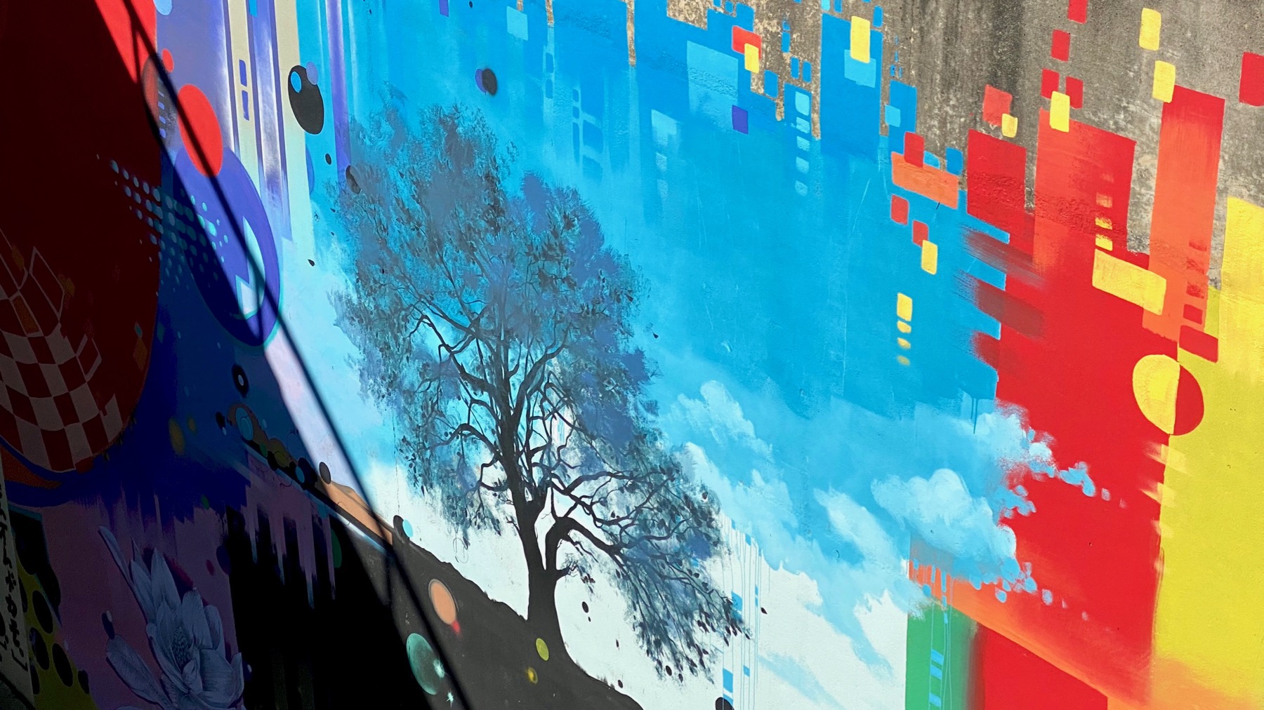
Here’s part of a mural on the wall under the bridge between the old Masquerade and the new Kroger.
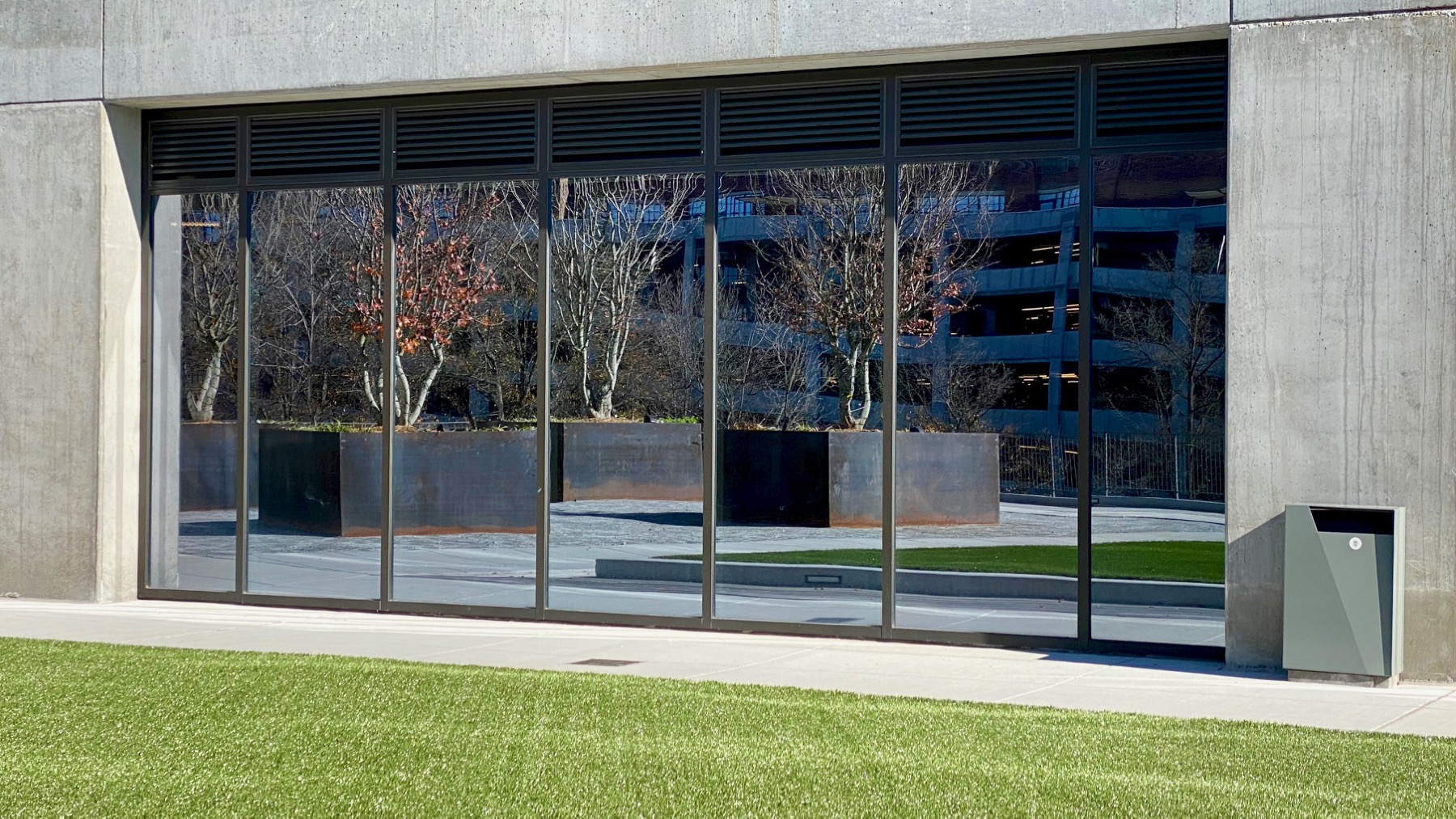
And this is a reflection on a glass wall bordering a terrace above the Kroger. Not sure why the plastic grass.
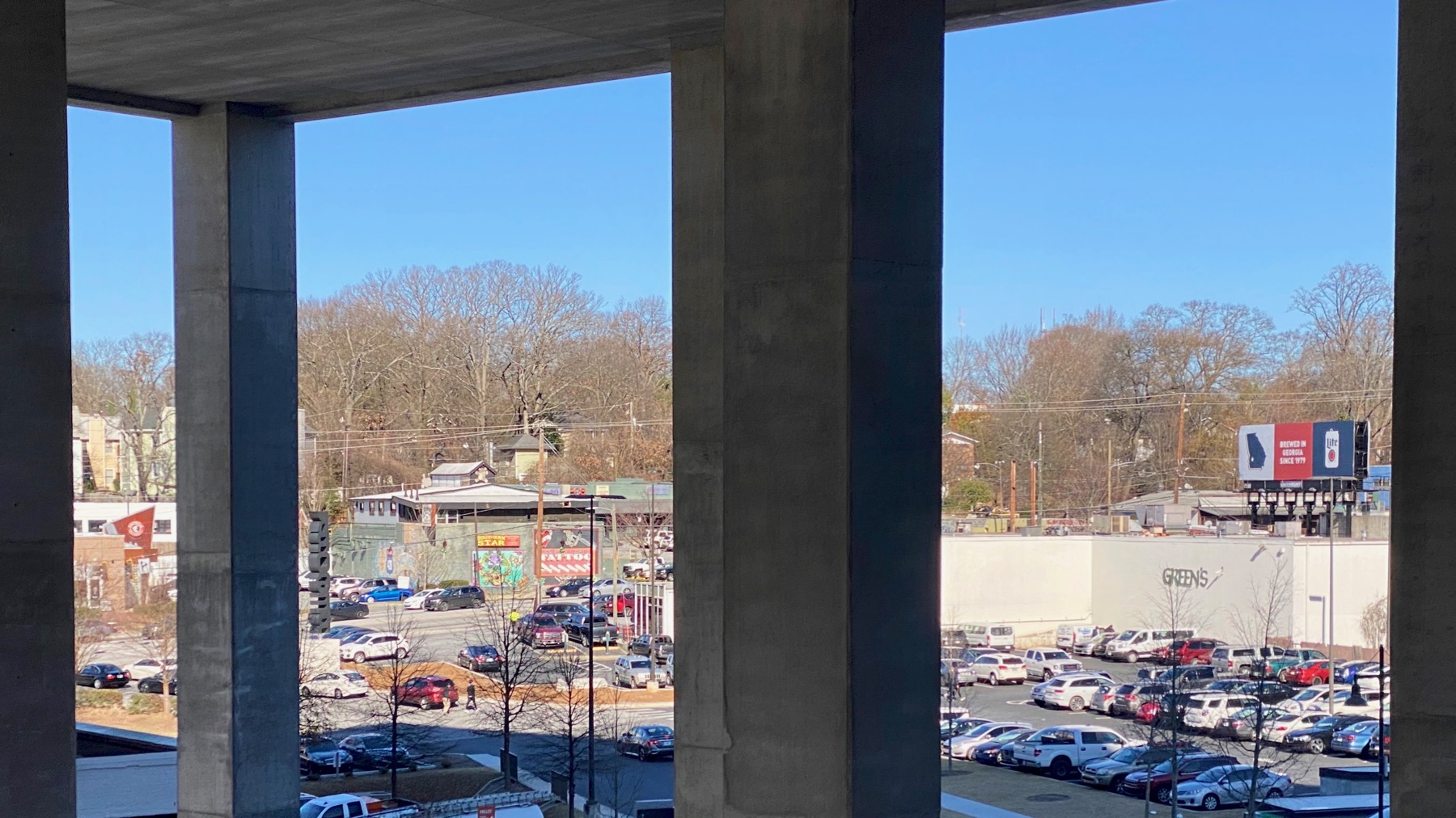
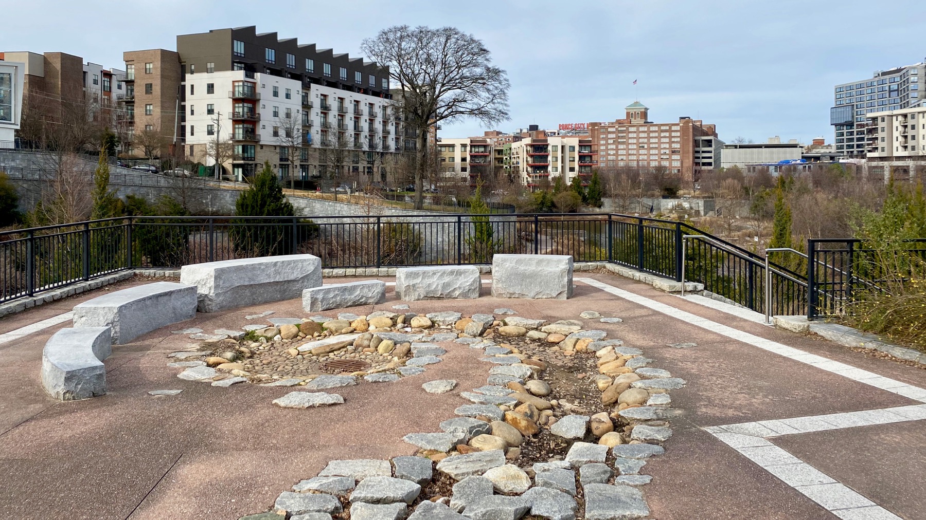
From the other end of the terrace, we could see through the legs supporting perhaps six stories of—not sure…office space? apartments? to…Ponce and beyond.
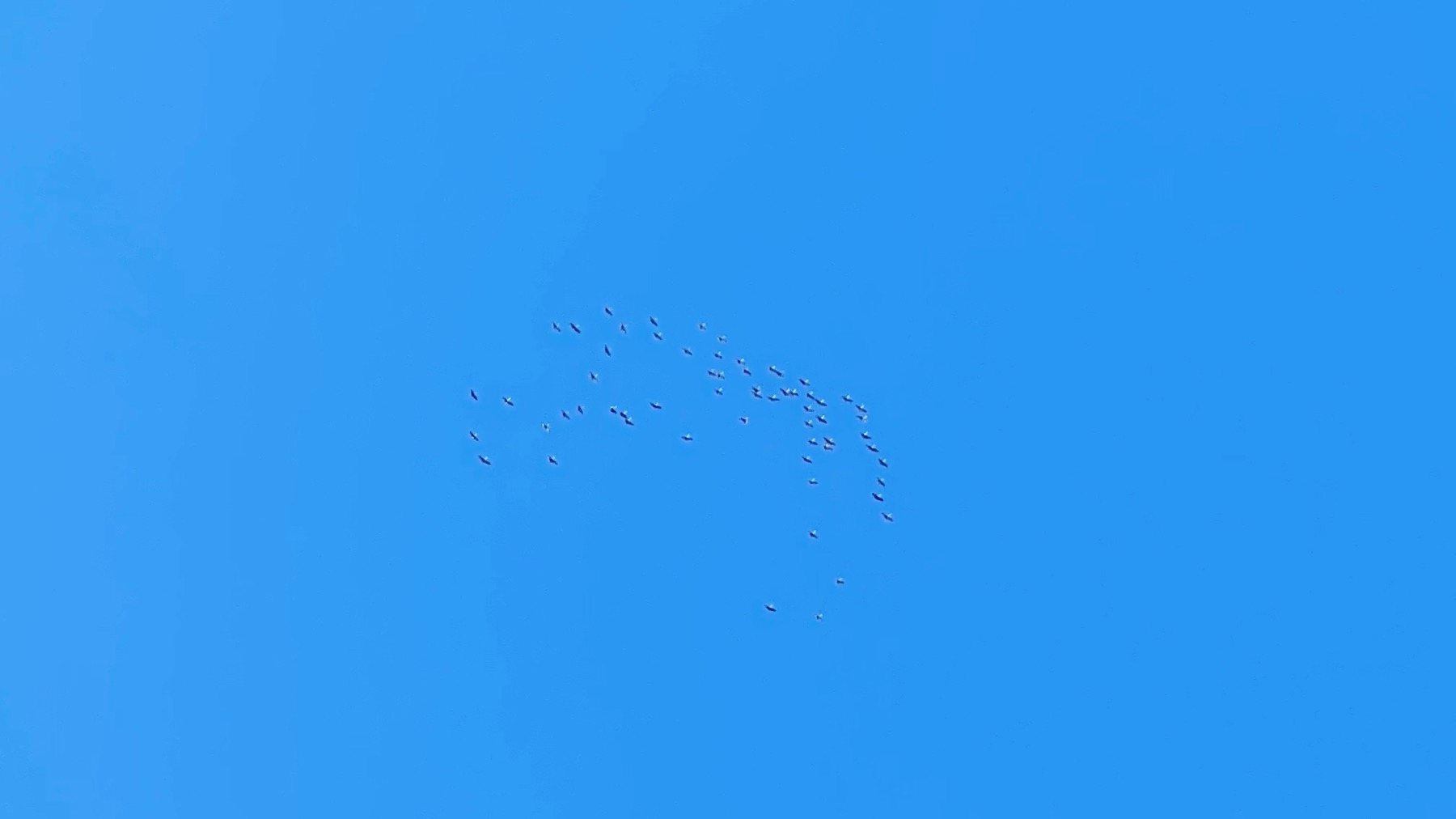
As we returned to the house, I heard sandhills above. Yay! Probably followed a different flyway than those we saw in Texas and New Mexico.
Posted at 6:20 PM |
Comments Off on Urban edits
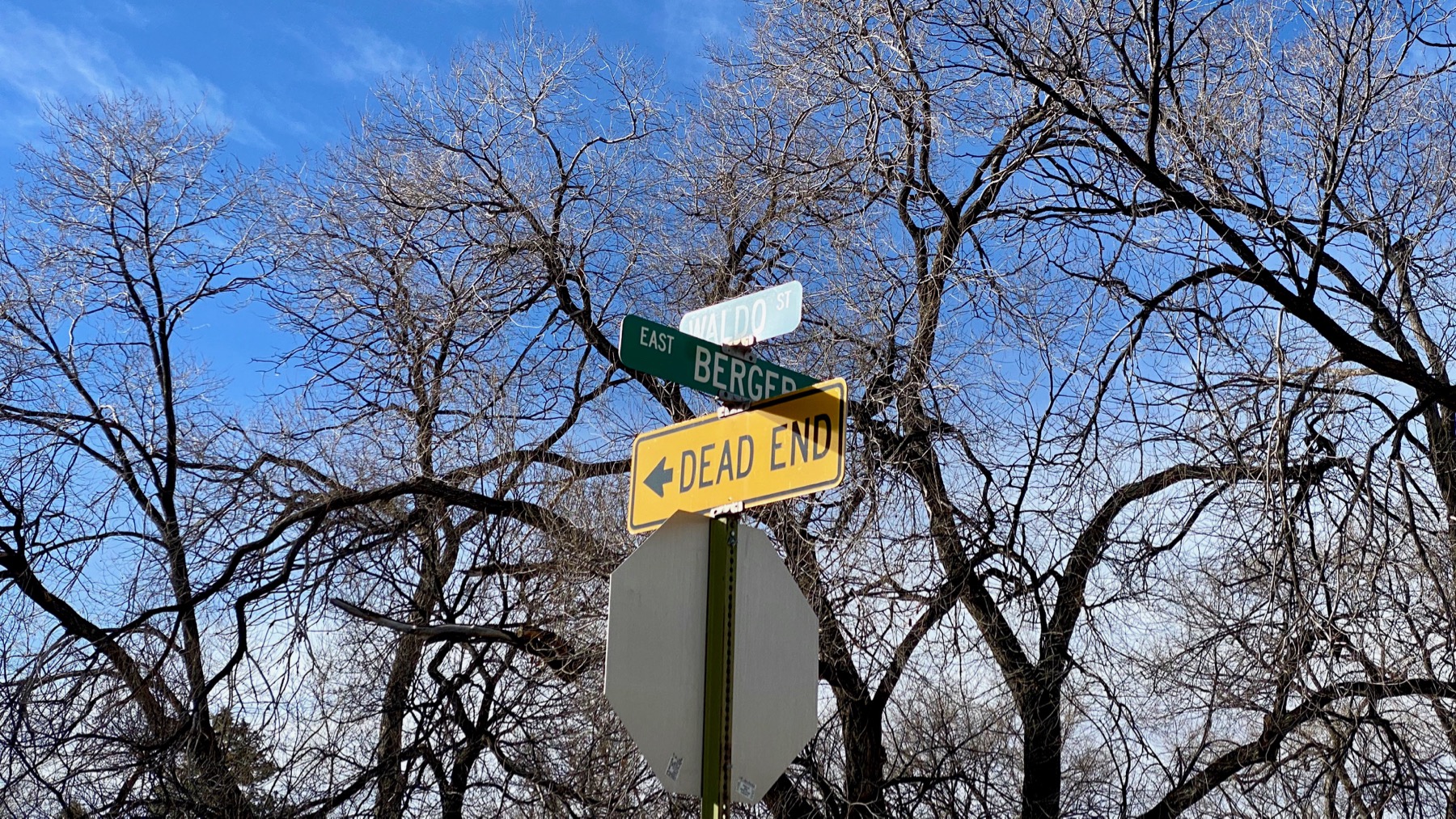
These photos all are of places within a 15-minute walk of the state capitol building. Scout’s honor: 15-minutes.
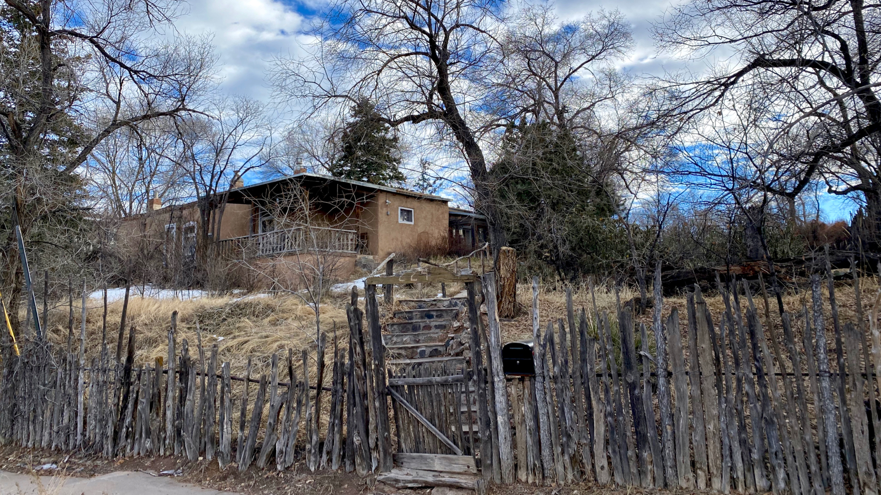
I find this scruffy house on a double lot oddly eye-catching.
Near as I can tell, this construction is most commonly called a walk-through gate in these parts. This short section of road can’t be driven on, but foot traffic and bicycles can make it through. These are the most heavy-duty walk-through gates I’ve seen.
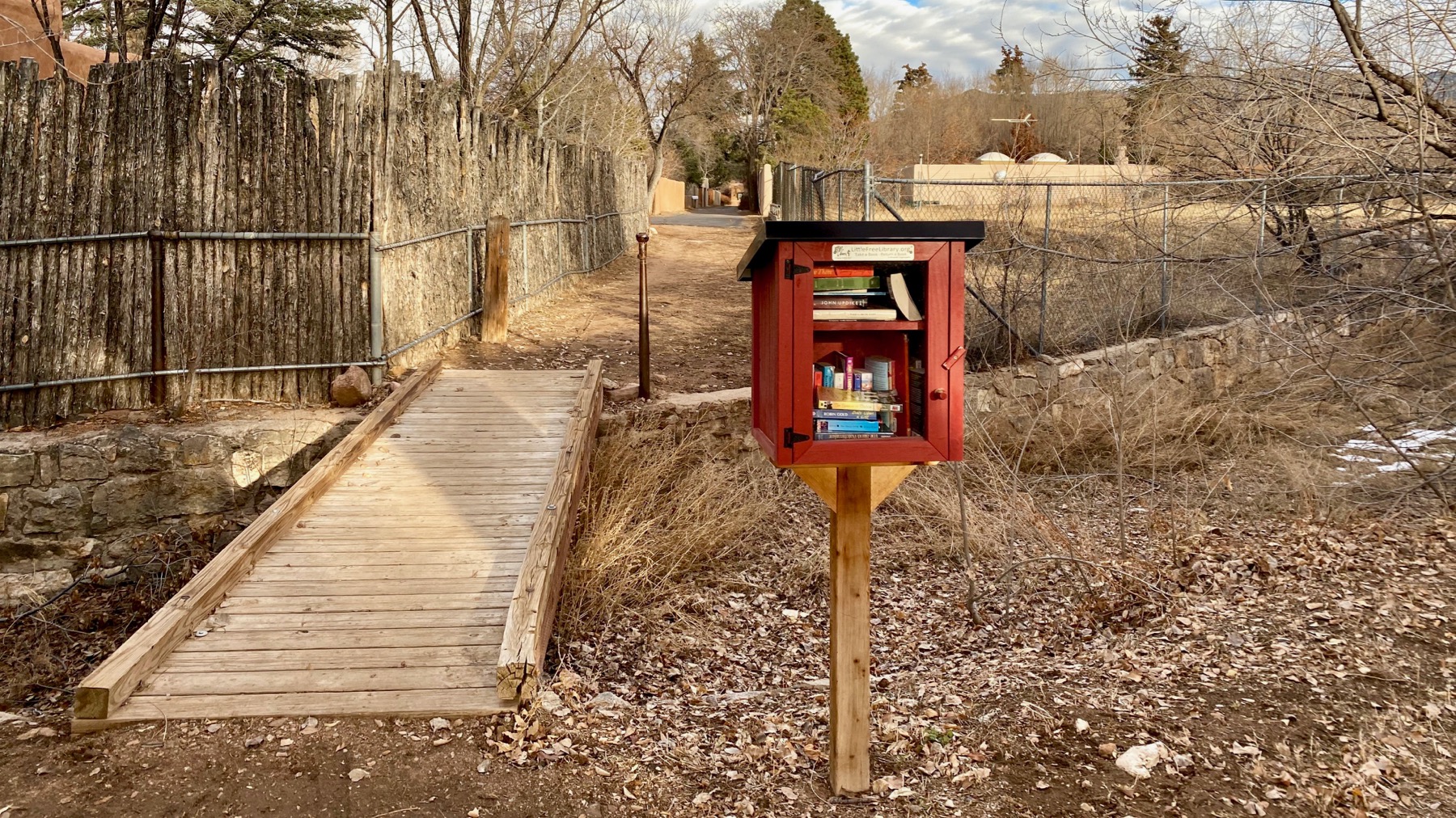
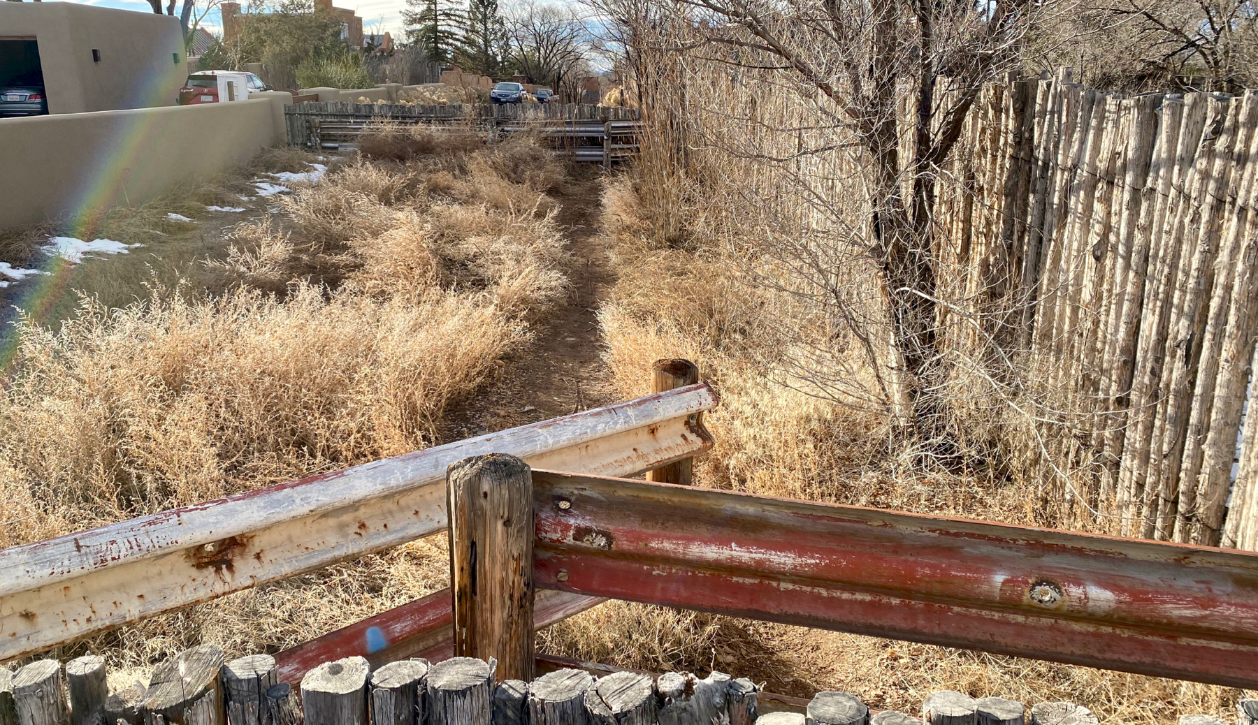
On another path, I found this foot bridge over a channelized drainage. In case you decide to spend time here, find reading material in this little free library.
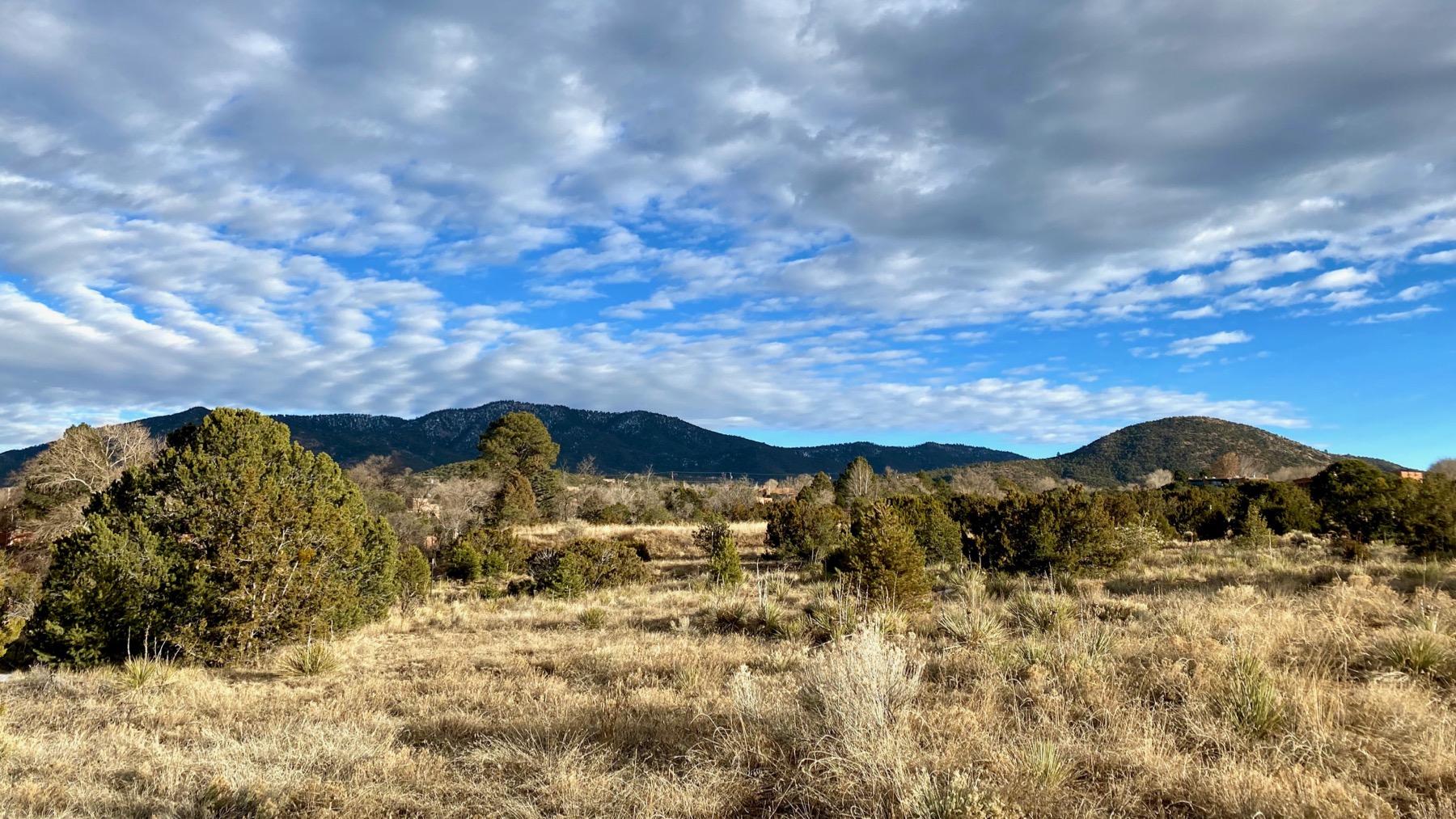
Not many steps later I found this undeveloped land signed “Private Property,” although I think my mapping apps show it as a park. Again: this is within a 15-minute walk of the state capitol.
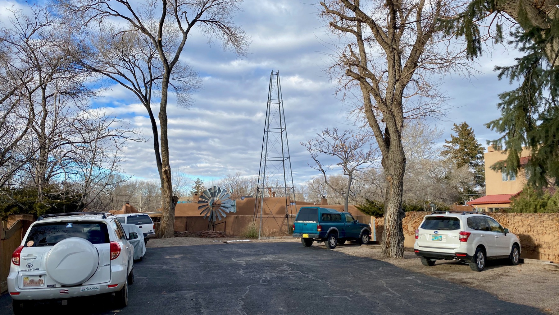
A windmill survives in two parts in this parking lot for rental units. Looks beheaded now.
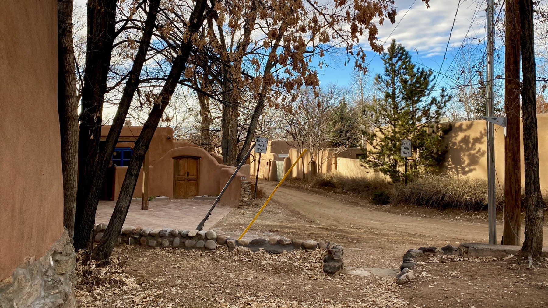
I came out this alley and proceeded through the “Begin One Way” signs straight ahead. Yup, the right-of-way narrows, as you might expect. Note that is is a sandy gravel road, with surviving ice blobs and muddy spots even today.
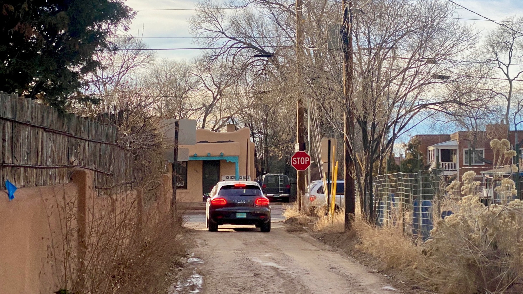
As I walked along, I was passed by a Ford Focus, then this fancy Porsche. Someone in an expensive car visiting or living in a house on a dirt road less than a ten-minute walk from the state capitol. The Porsche is waiting for a gap in the traffic on the Old Santa Fé trail…a main drag, no?
Not sure what to make of these observations, but I note that the civic-ceremonial zone here in New Mexico’s political center gives way to residential buildings quite quickly—within two blocks—and that residential zone may not have fancy capital improvements 😀.
Posted at 9:55 PM |
Comments Off on Passageways in perspective
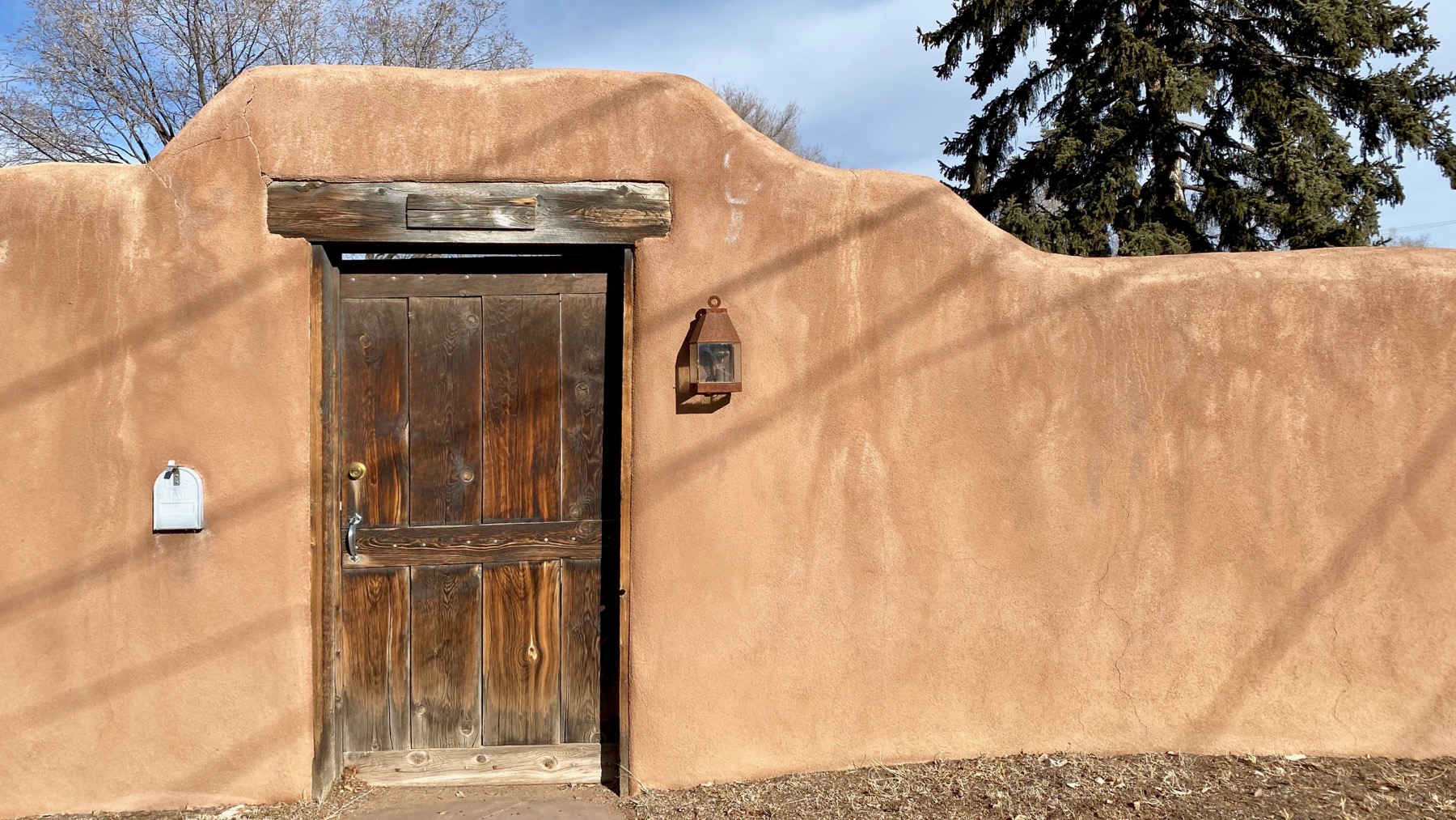
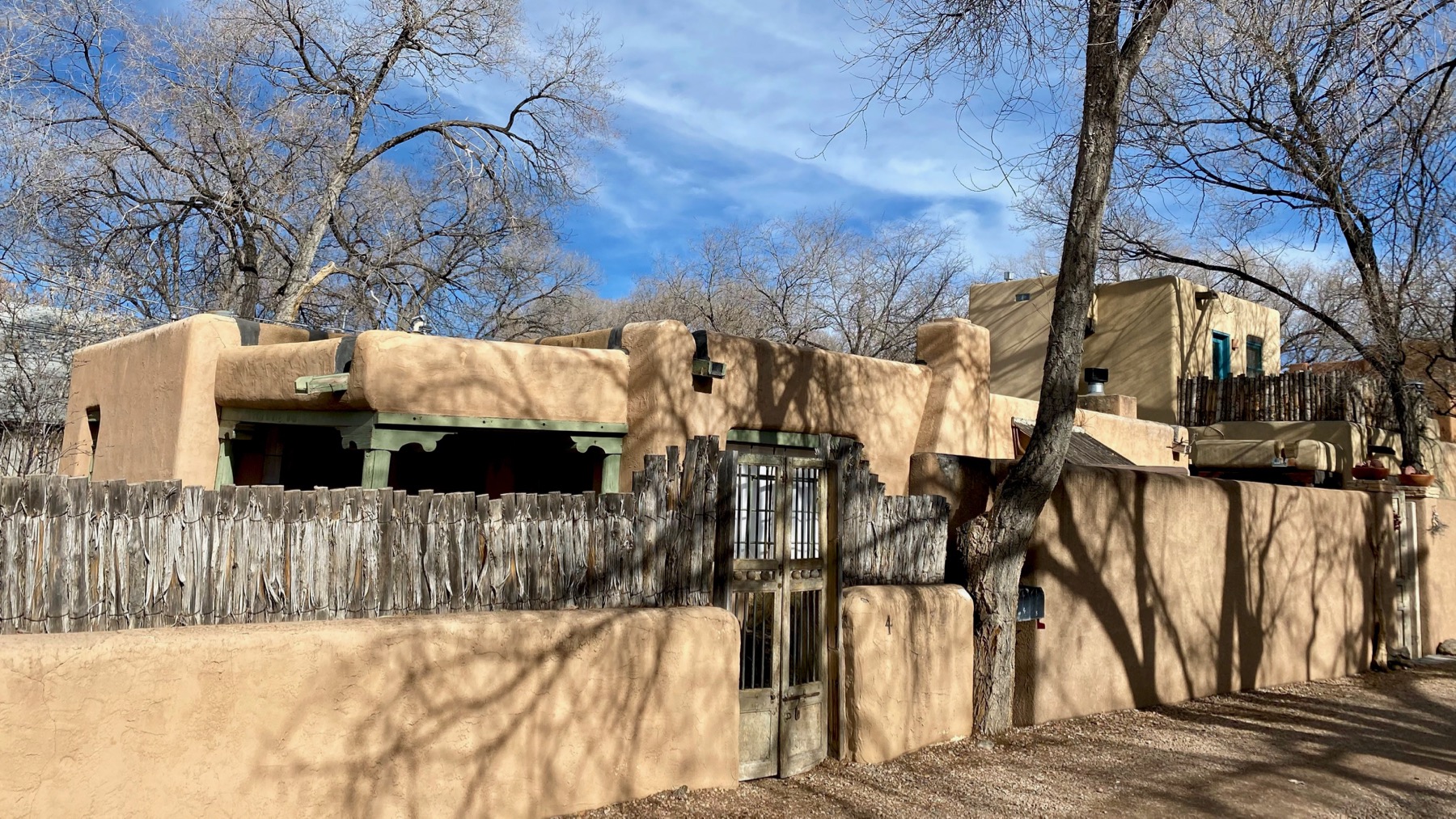
Fascinated by the “regular” mailbox cemented into the stucco “adobe” wall.
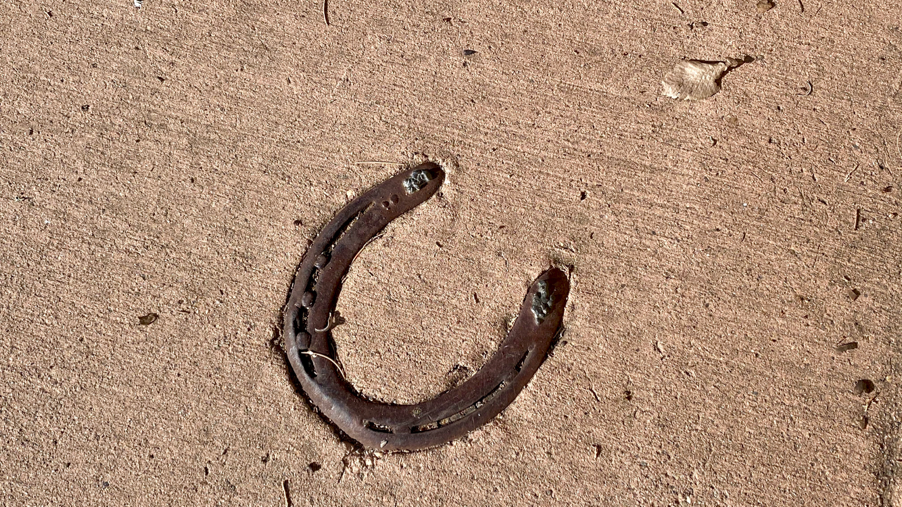
Sidewalk luck.
Where’s…oh, you get it.
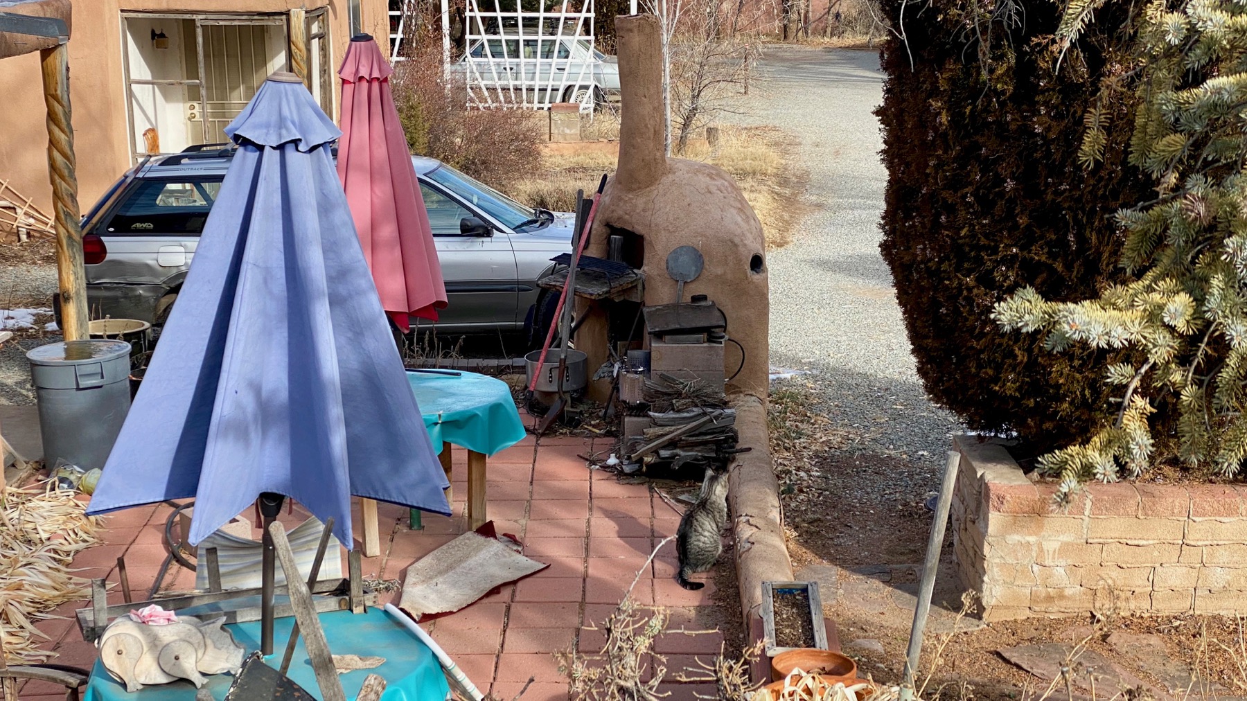
Note tabby and horno. And pig toy/sculpture, lower left. That’s the most accoutrement-ed horno I’ve ever noticed/seen.
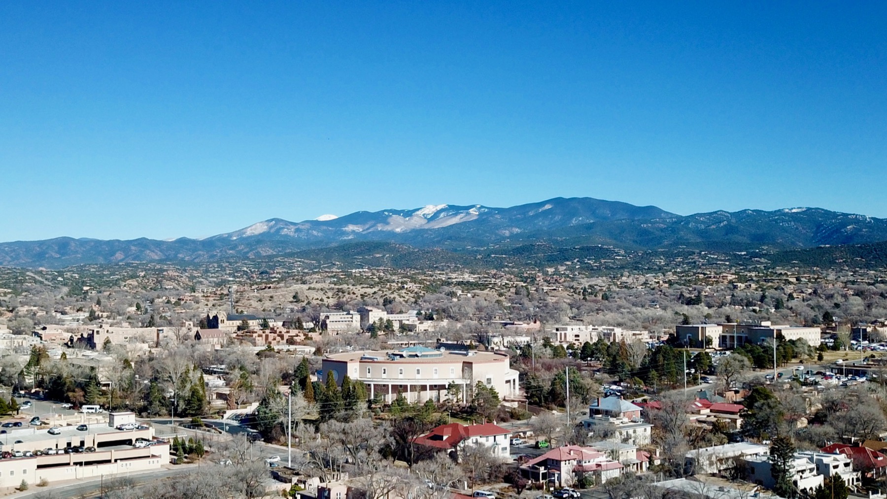
The Guru took Droney for a quick flight. That curved wall building is the capitol (behind the dark red-brown roof).

We took a short drive south to Lamy.
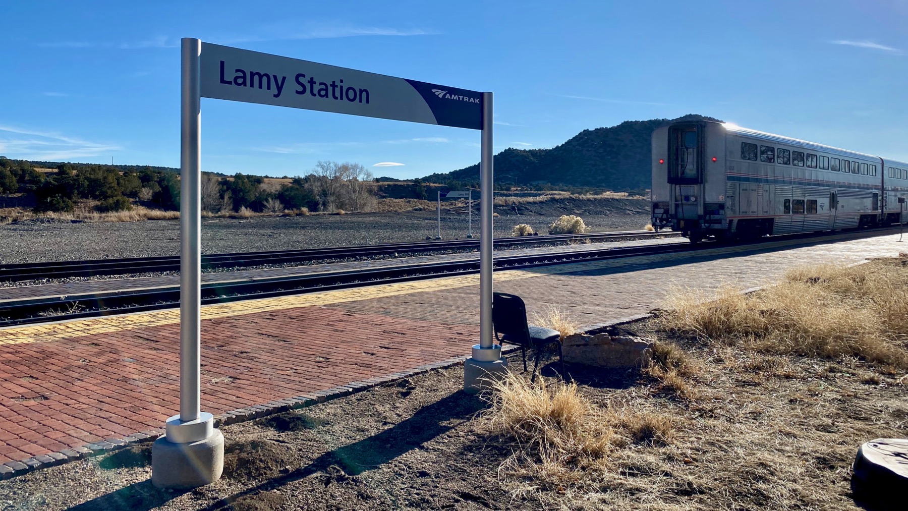
Amtrak stops here, and it’s the closest stop to Santa Fé, if I have it right. We were lucky to be there when the train stopped…and left maybe five minutes later.

Abandoned? parked caboose. Unnecessary in the digital world.
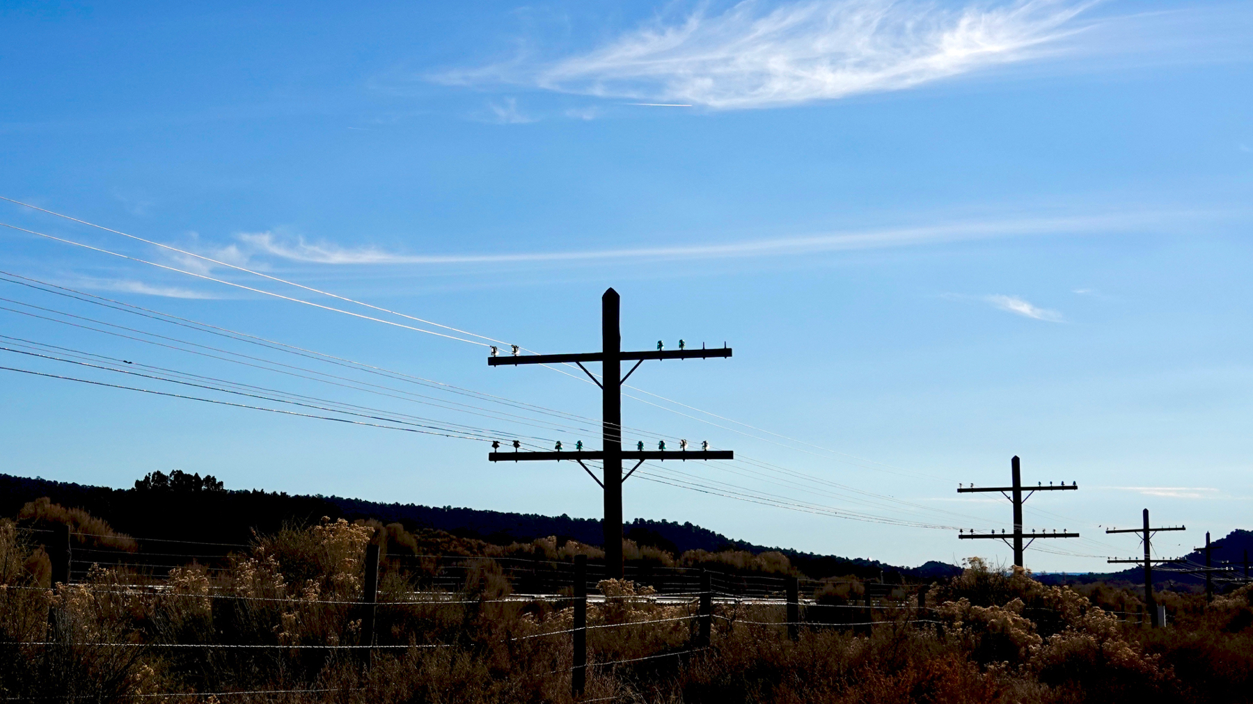
Glass insulators are still in use in these parts in some rural lines. The Guru says these are for telephone/communications not electricity. The pairs are a clue.
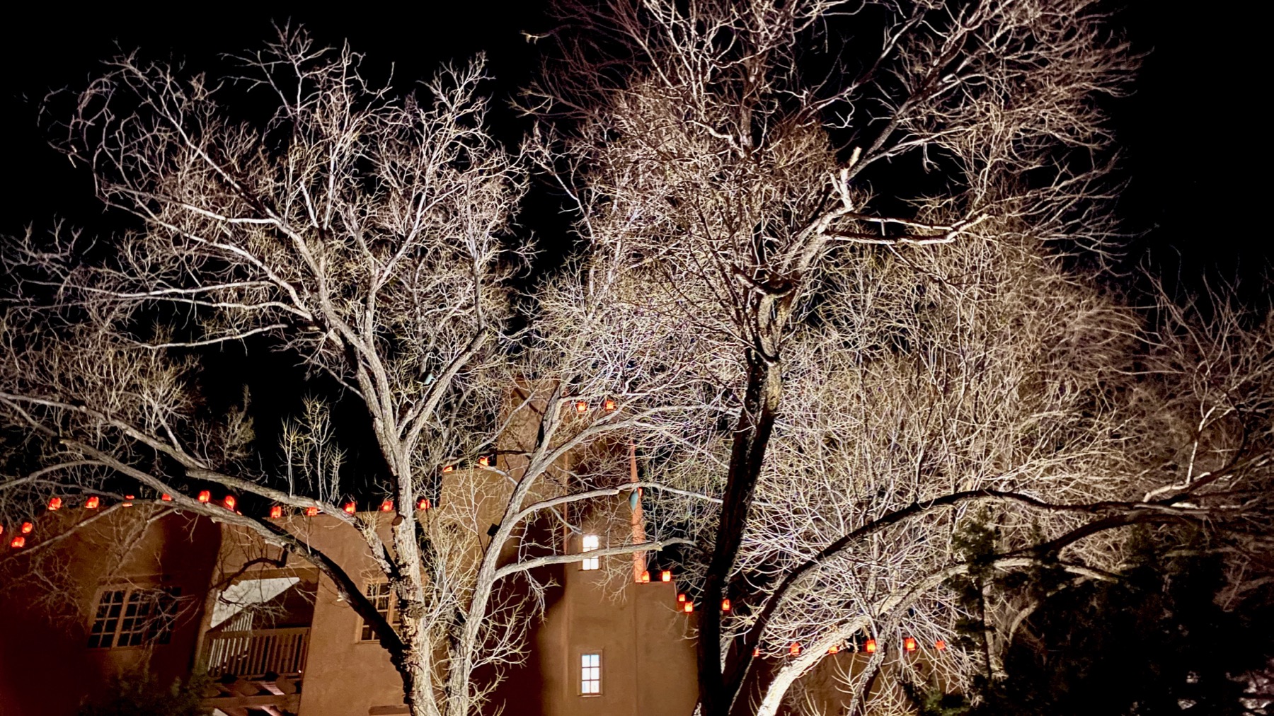
We walked to dinner, which means after sunset (before 5pm), and after the cold is setting in. Brr. But, we’re tough. After dark means opportunities for computational photography—yay!
Posted at 8:59 PM |
Comments Off on Nearby(ish) and varied
Gallery doorway. Sign is at opposite end of building; building faces Old Santa Fé Trail, with a narrow sidewalk between the curb and property wall.
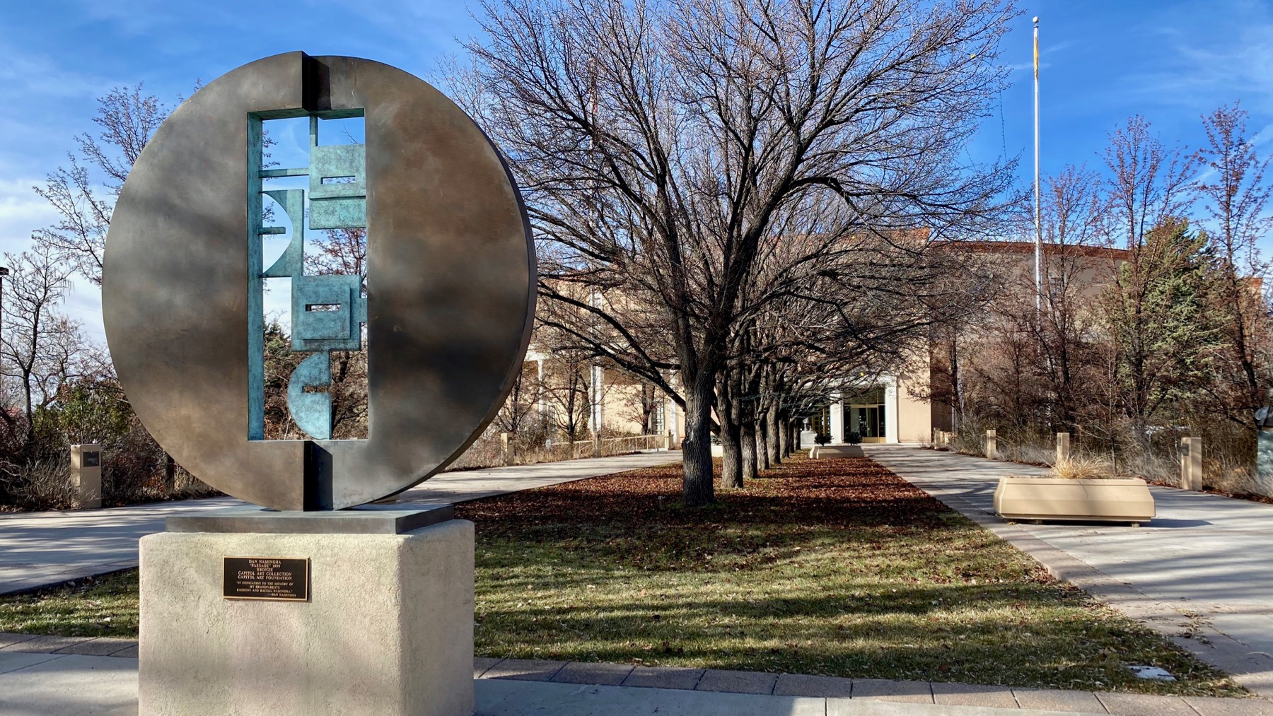
Main, front entrance to the NM capitol. Strange choice to have single row of trees that visually block the doors; usually there are two rows flanking the view.
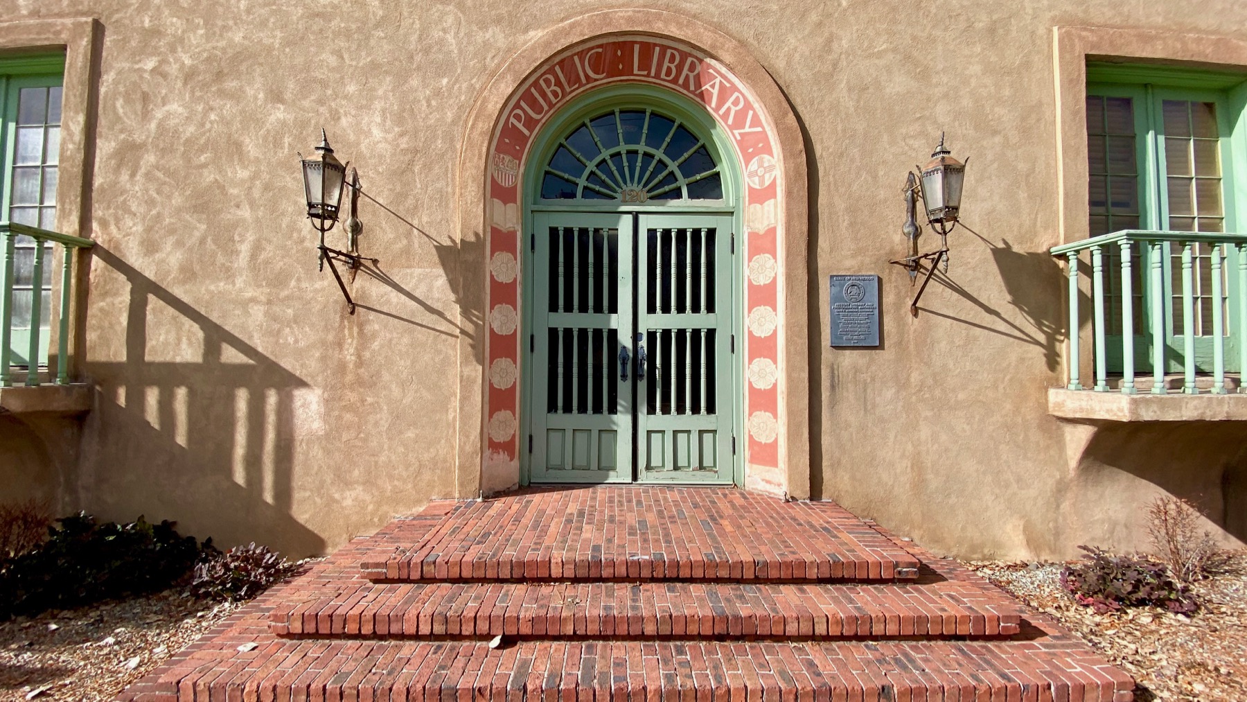
Arched doorway of the NM history library, built, as you can read, as a public library—which is now across the street.
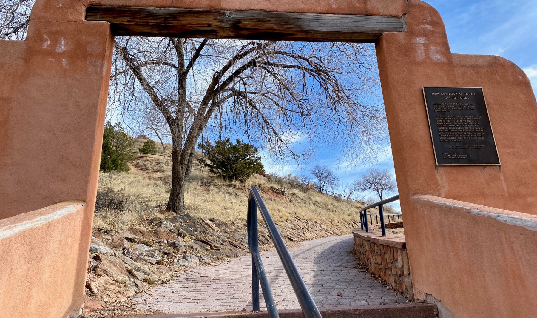
Arch over base of walkway up Marcy Hill.

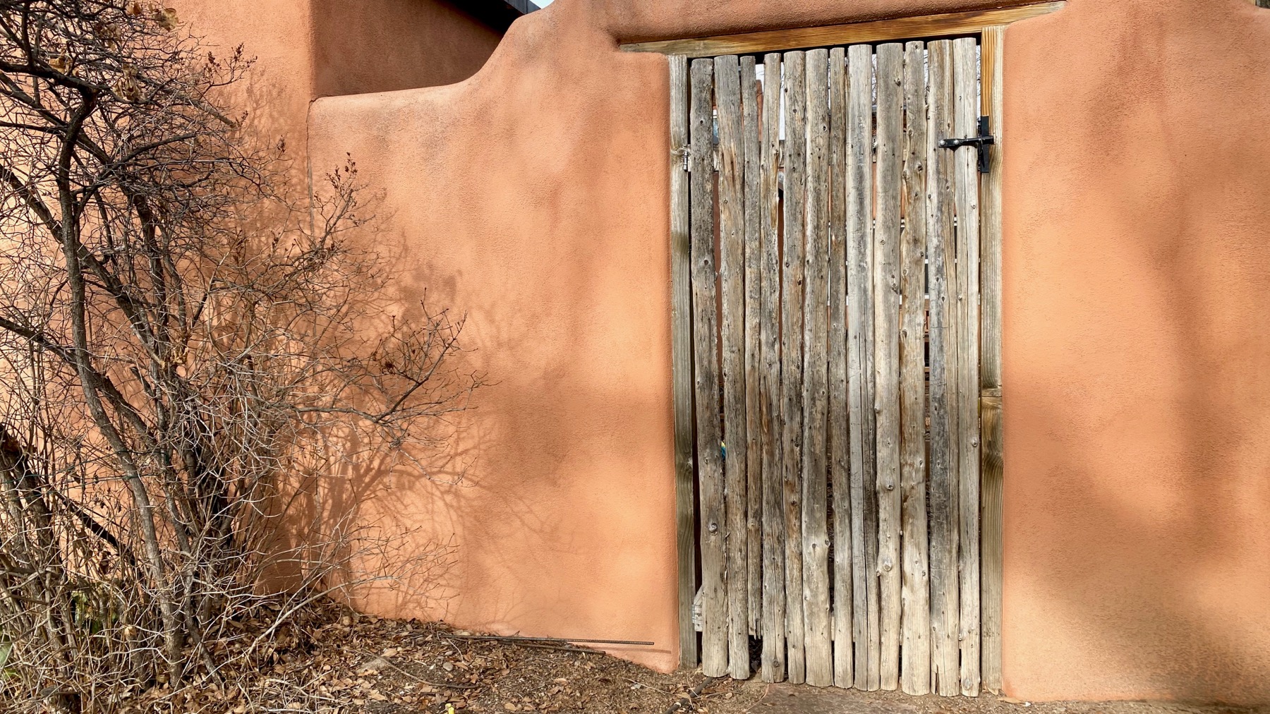
Fence-gate near the rear of St Francis Cathedral.
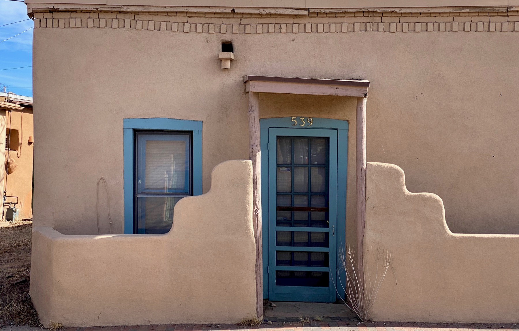
Filled in doorway in wall next to Santa Fé River. The paint I think is to obscure graffiti.

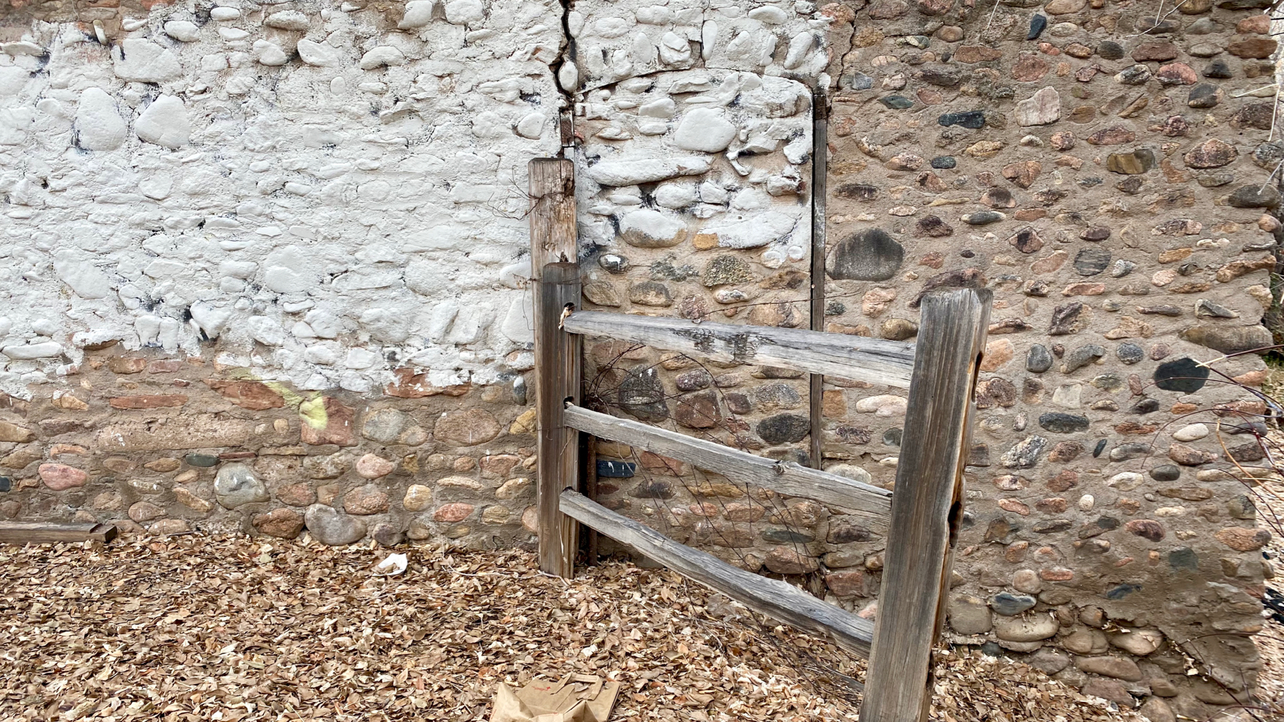
Rarely used gateway.
Utility gateway.
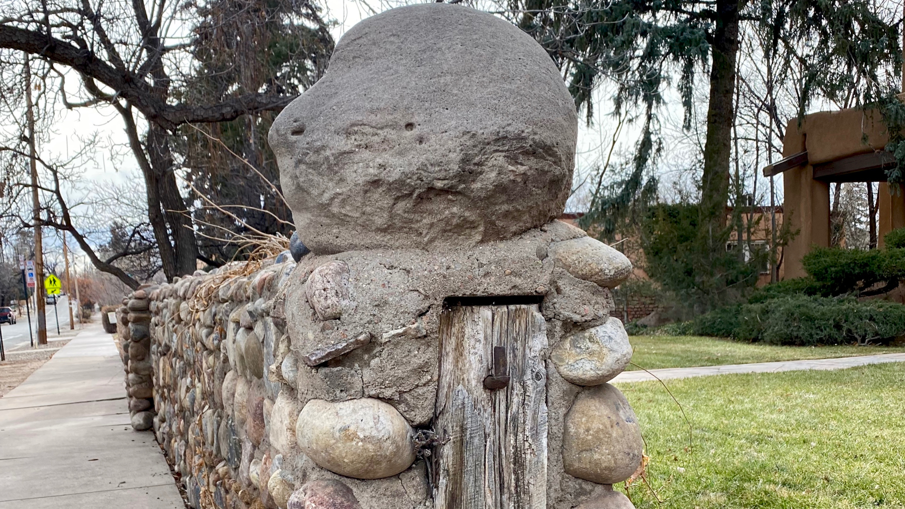
Eroding spooky cranium topping a gatepost. [I thought this might be a head-newel, but newels are only by staircases, if I have it right.]
Posted at 10:38 PM |
Comments Off on Doors and gateways
While the coffee was brewing, I stepped outside. The birdbath was frozen solid.
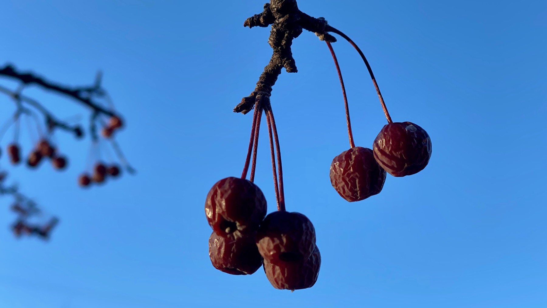
We’re somewhat overdosed on driving, so we didn’t today. Walked to do our errands. Mini-crabapple?
Sample of the residential architecture in our neighborhood; these units are a bit larger and fancier than ours. Same feel, however.
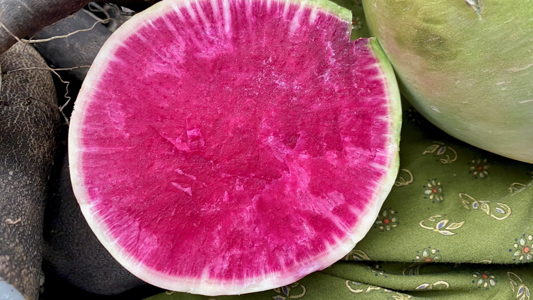
First chore trek took us to the Farmers’ Market. I talked to a bean guy, and bought some black beans from him. Also got a turkey leg, butchered yesterday (TMI?), the grower said. Stew to come. This is a watermelon radish, the sign said, with black radishes on the left edge. Did not buy or taste either one.
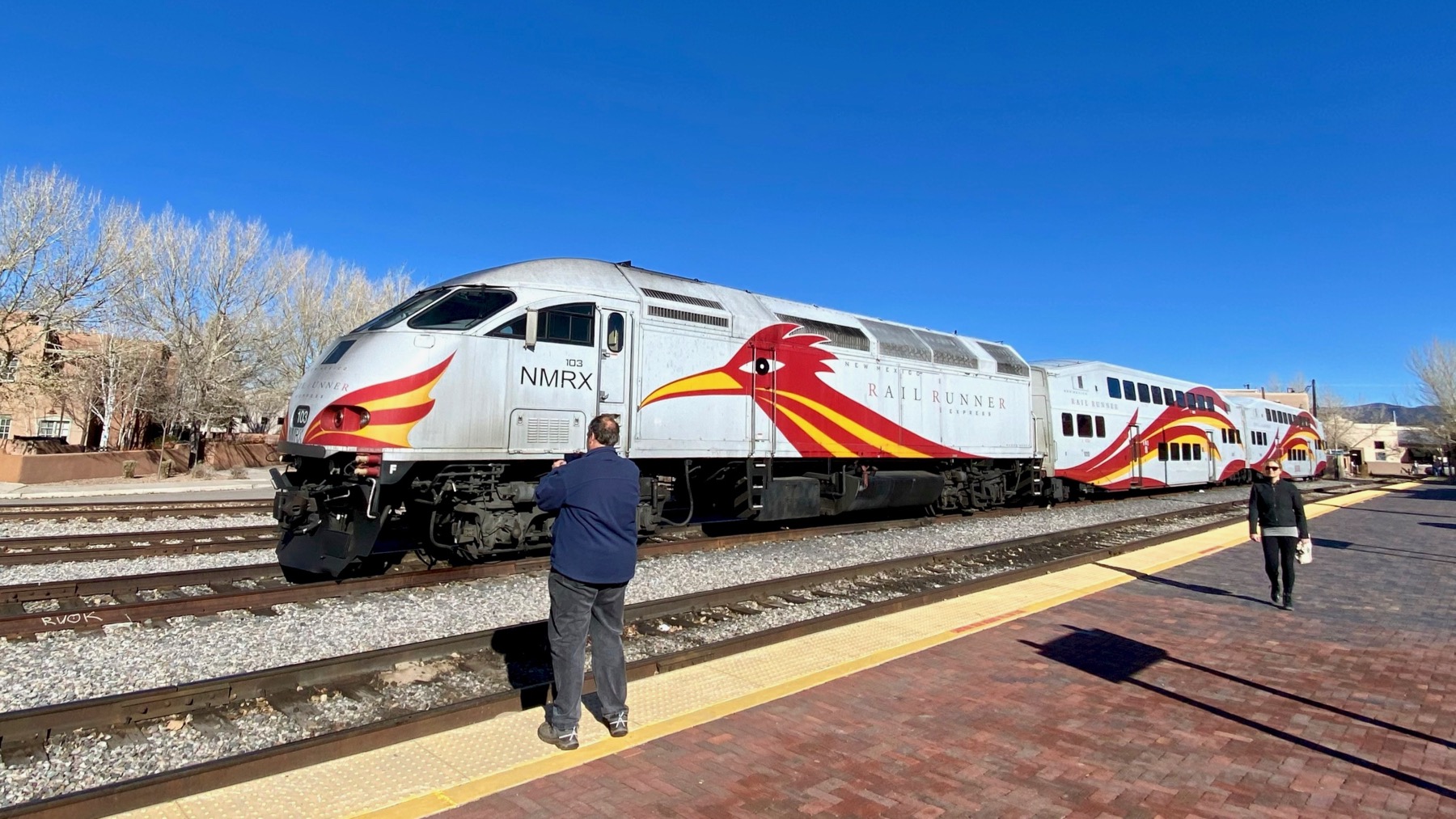
Near the FM is the northern terminus of the Railrunner commuter train that goes down to Albuquerque and beyond largely in the Rio Grande valley. Love the roadrunner graphic that flows from the locomotive across the trailing cars.
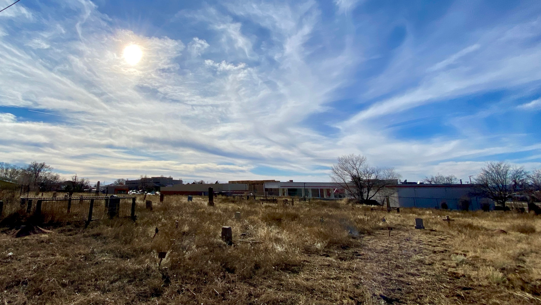
During a later errand trek, we found a largely untended urban cemetery behind a Mickey’s and similar fast food places, nail salons, and the like. On a slight hill.
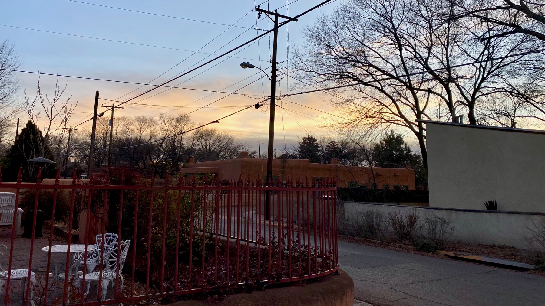
Companion shot to the first one from the cocktail hour.
Apparently this sky warns of ❄️. The highest peaks nearby are already 🏔.
Posted at 6:41 PM |
Comments Off on No driving
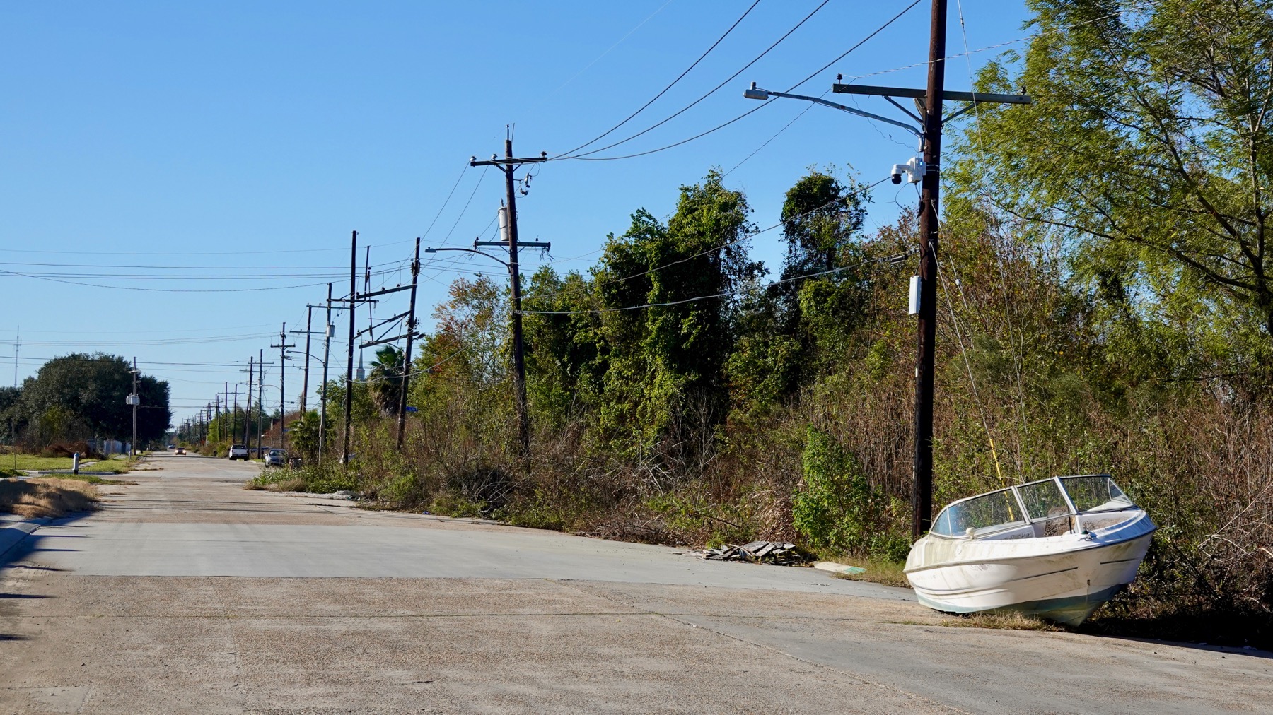
Coming in from the east, we began our New Orleans wander in the Lower Ninth Ward. It’s mostly still abandoned with some pockets of trash remaining.
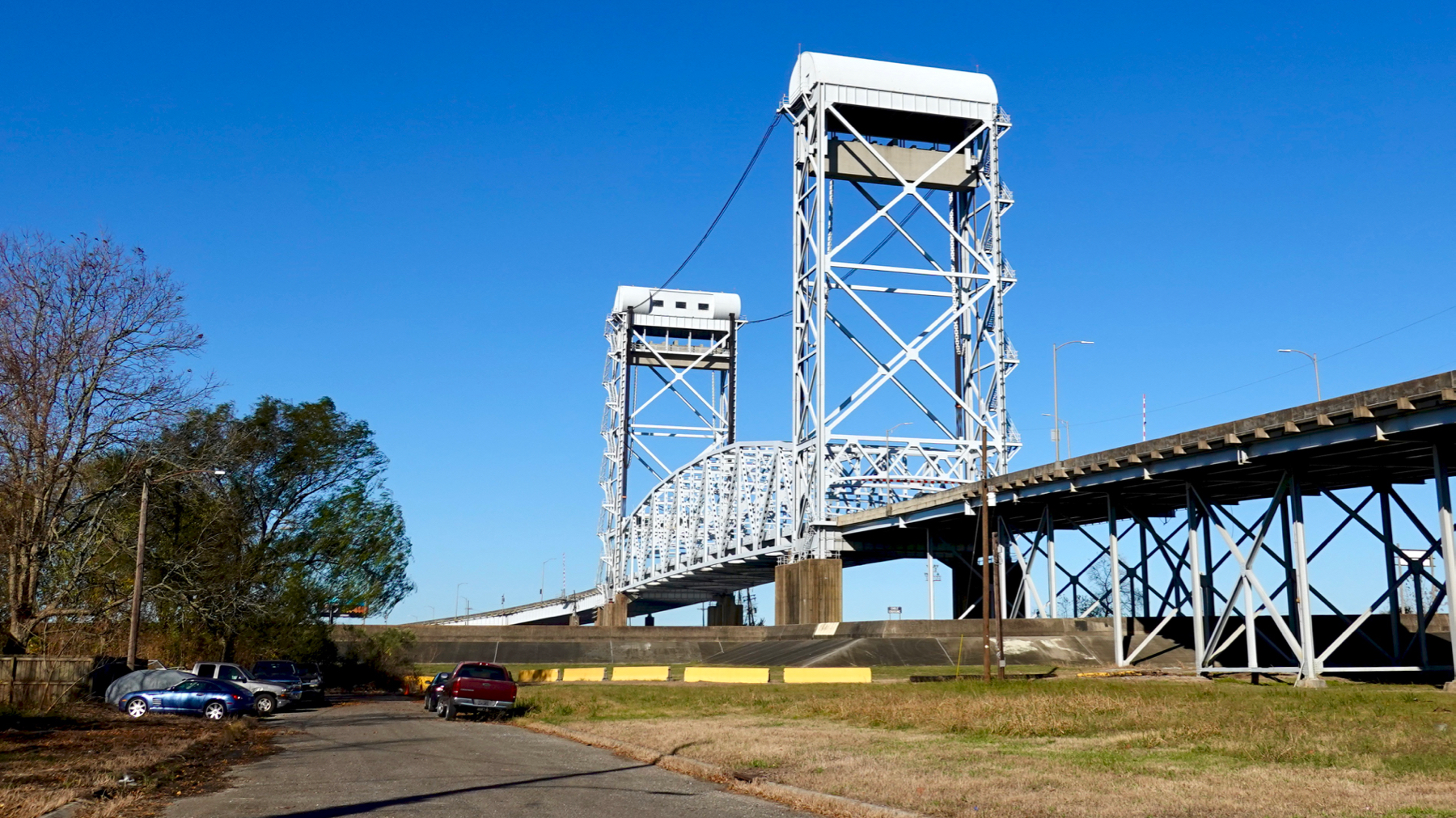
The Claiborne Avenue bridge crosses the flood control levees and a shipping canal, hence the section that will rise out of the way.

Downtown, finally. River. Riverboat.
Statue honoring emigrants to New Orleans. I might have chosen “immigrants.”
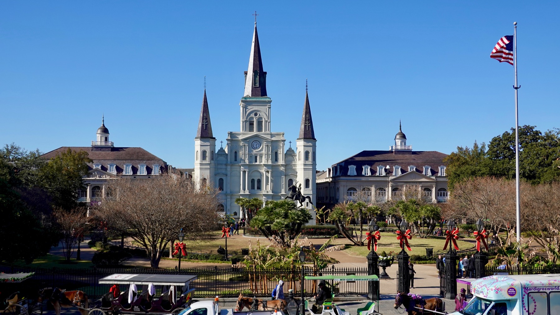
Jackson Square, with statue in the middle. [We won’t discuss which Jackson.] Cathedral named after Louis IX of France, the only French King who is a saint, so the name is Cathedral-Basilica of Saint Louis, King of France. Seems strange to have saint and king linked. So New Orleans.

New Orleans means beignets and café au lait at Café du Monde. Yes, the business has changed greatly since I first came here in 1967, but it’s still beignets and café au lait at Café du Monde.
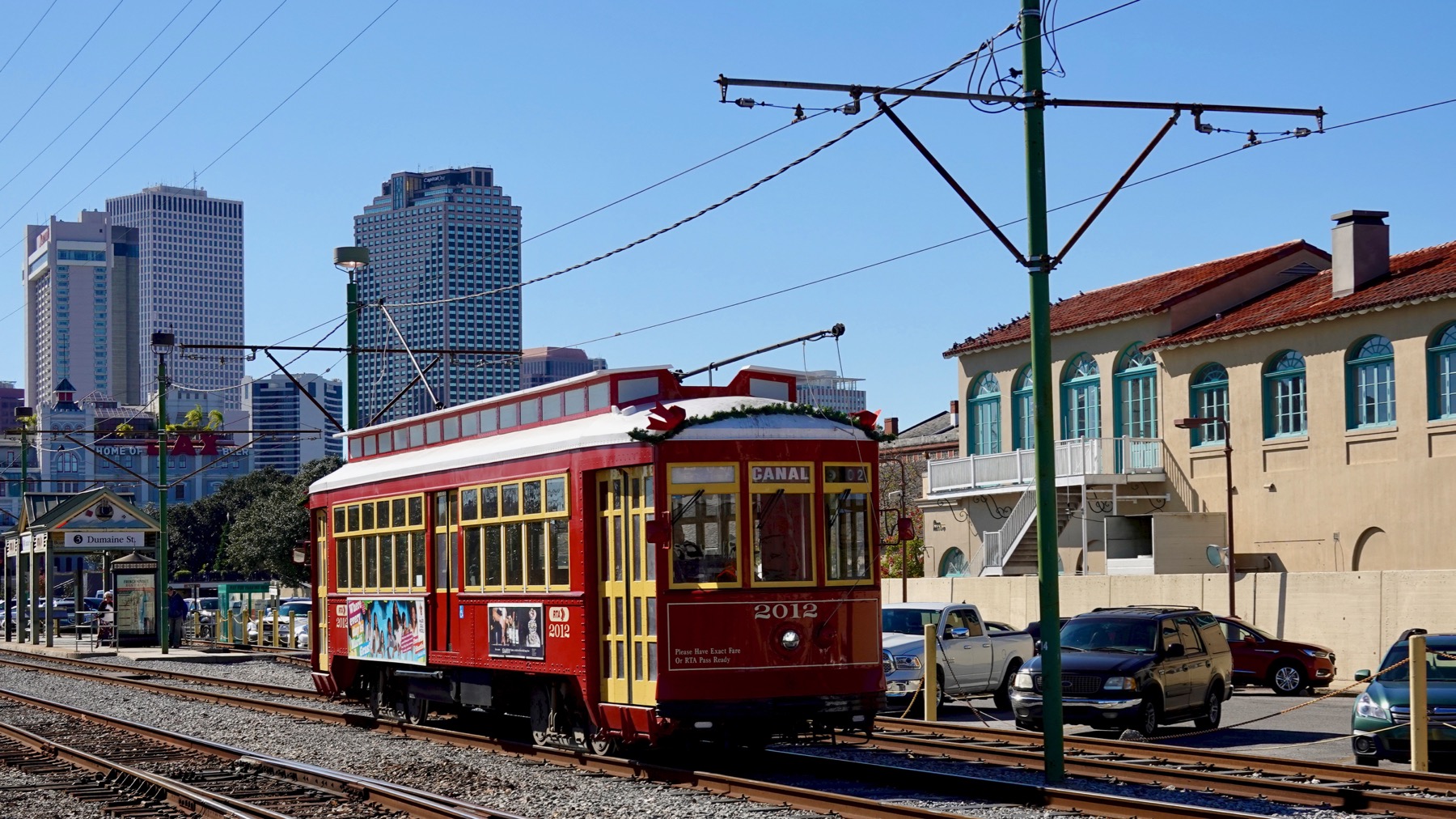
New Orleans means street cars.
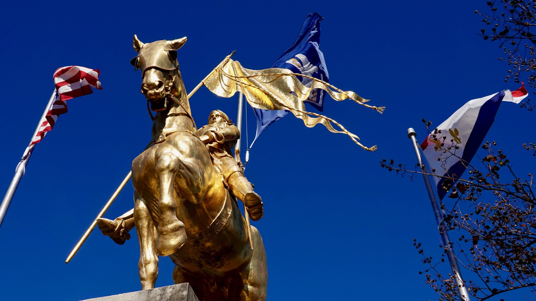
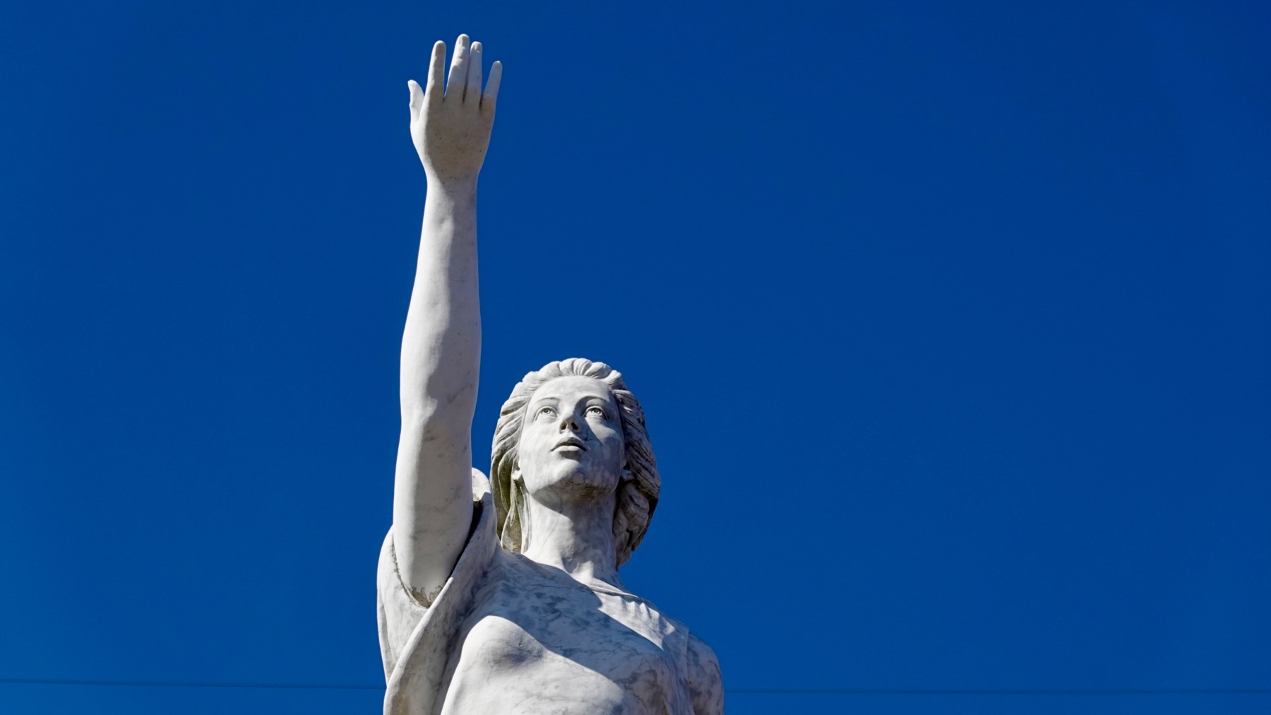
New Orleans means the maid of Orleans…here Joan is gilded.

New Orleans means upstairs balconies and architectural detail.

Sometimes the balconies are double-tiered.
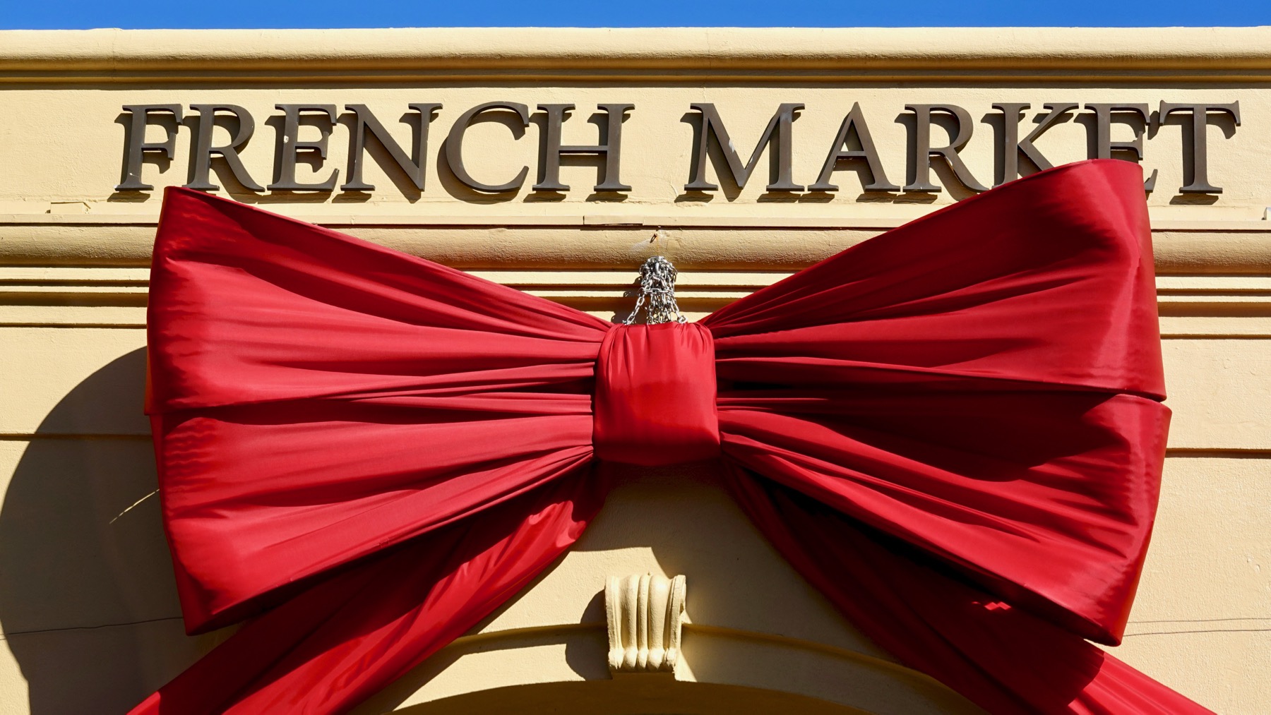
Down at the market we found this gigantic bow, so large it takes multiple loops of chain to hold it.
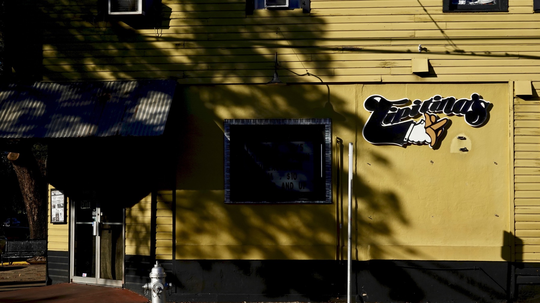
Then we shifted neighborhoods and walked past legendary Tipitina’s. I was surprised to read it opened in 1977; I thought it was older. Must be the archaeologist in me.
Random building in the Touro quarter. It is quieter and very residential compared to the French quarter.
And, as my dear friend KW sometimes writes, that is all. 😀
Posted at 1:20 PM |
2 Comments »
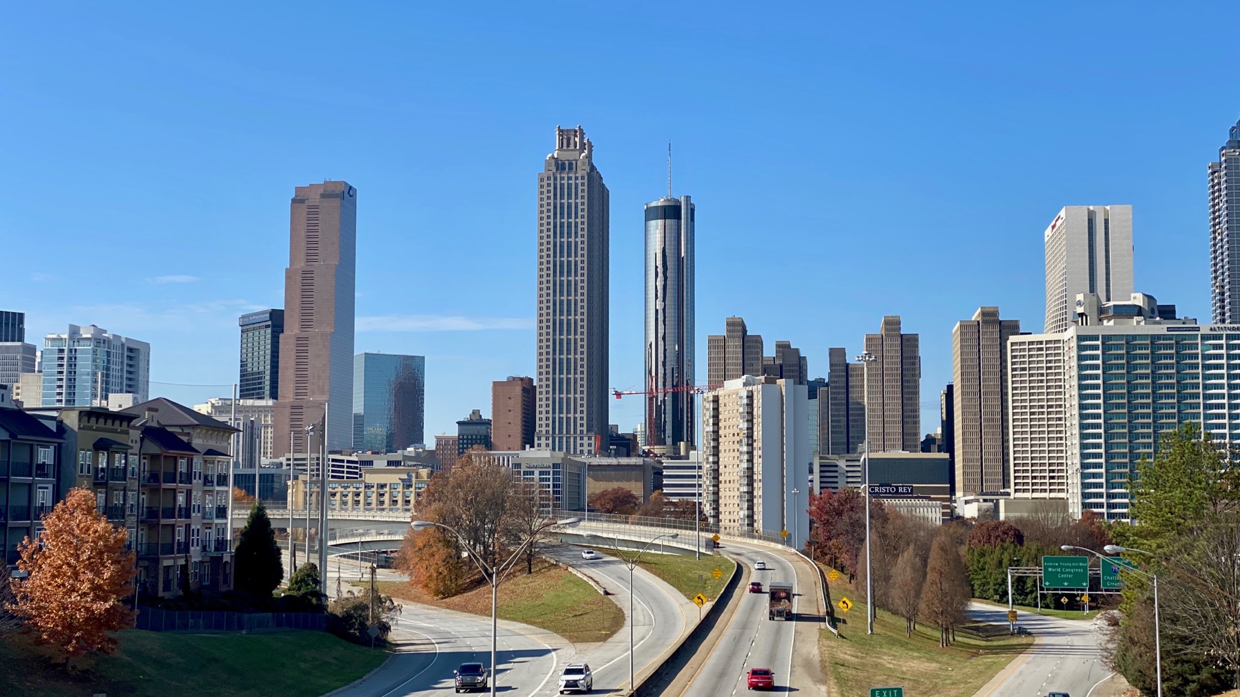
We had a miscellaneous errand over toward downtown, so we strolled around that area. This is the view of downtown from Jackson Street bridge. You many have seen it in a movie or in advertising art.
Turns out the libraries are closed for the holiday, so we used the book drop. Our regular branch is closed for renovations, so we used a different branch, over by the MLK center. [TMI, pretty sure.]
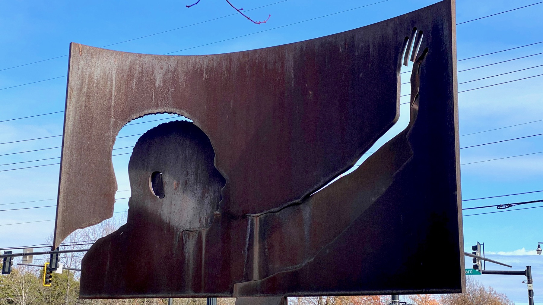
One of my favorite public art pieces of all time. MLK stating that he has a dream, I’m guessing.
People live around here now, in some rather expensive new apartments and not in the crack-infested public housing that was here.
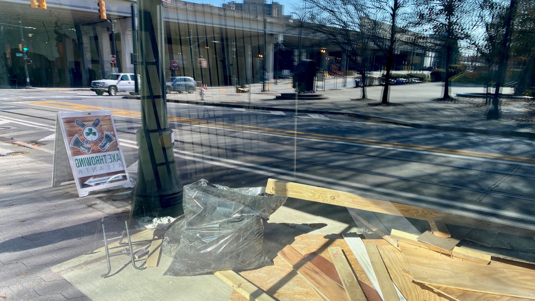
Nice reflection in window of business undergoing renovation…sign is for an axe-throwing business. Have fun, it states in multiple ways.
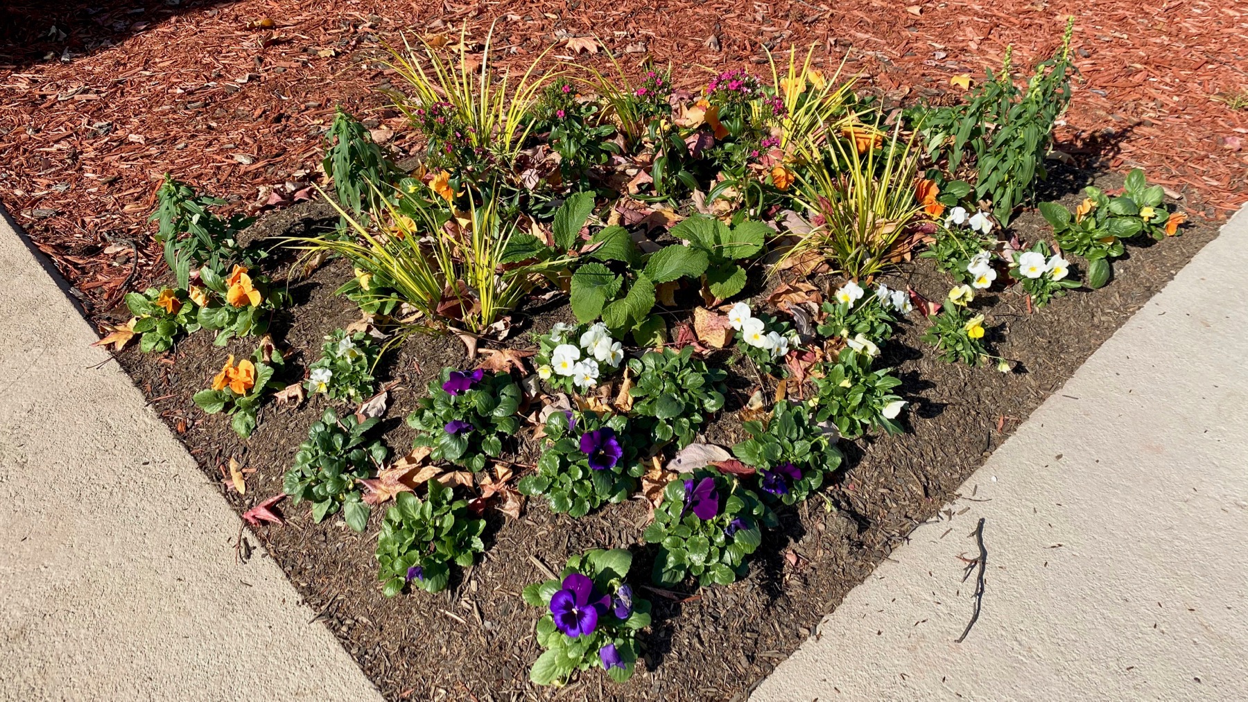
Pansy (etc.) triangle by the MLK center. Your federal dollars at work. National Park Service property.
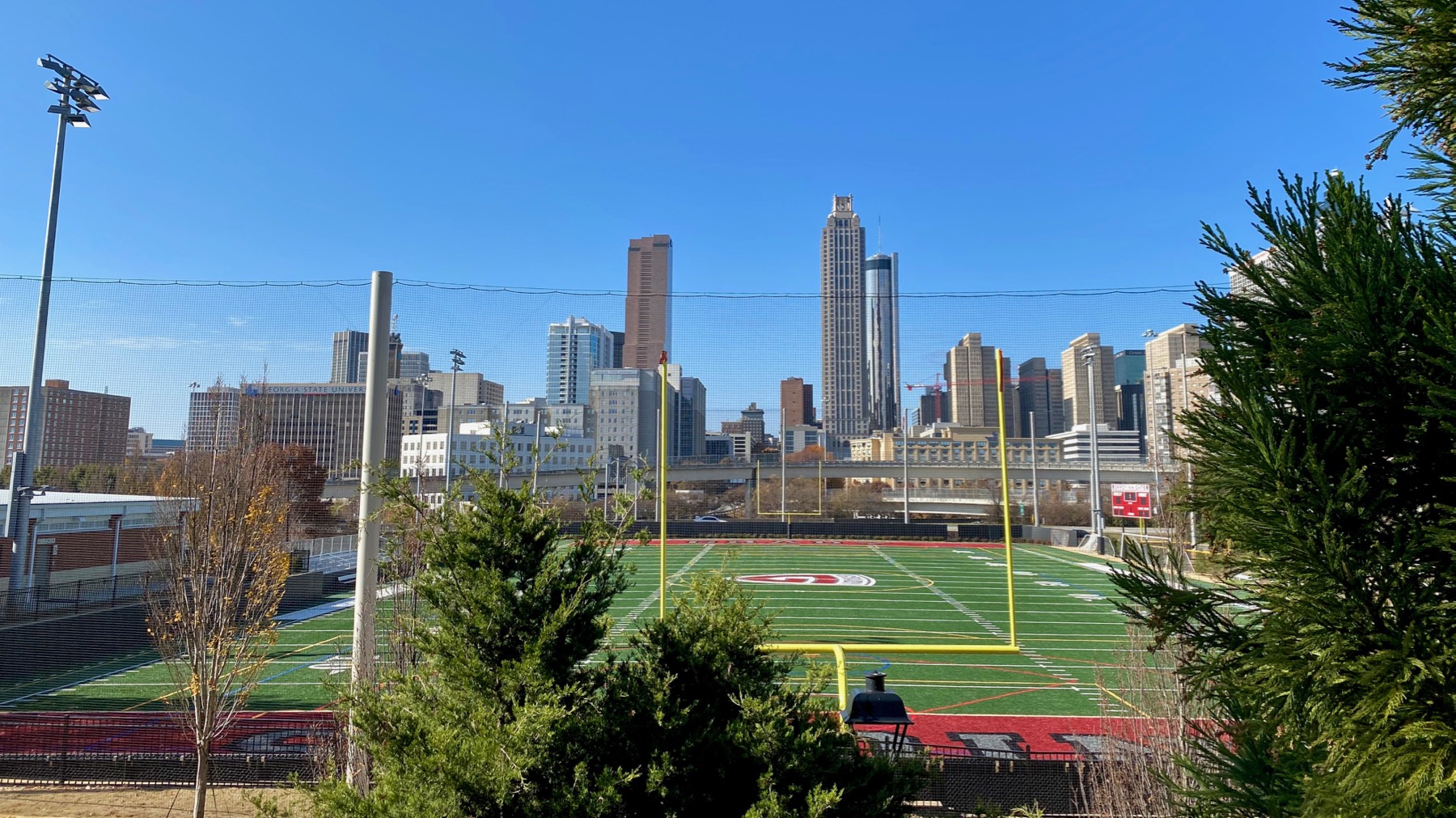
We discovered that we didn’t know that the Grady HIGH SCHOOL football team has a practice field. More tax dollars at work.
Posted at 6:45 PM |
Comments Off on More than tax dollars
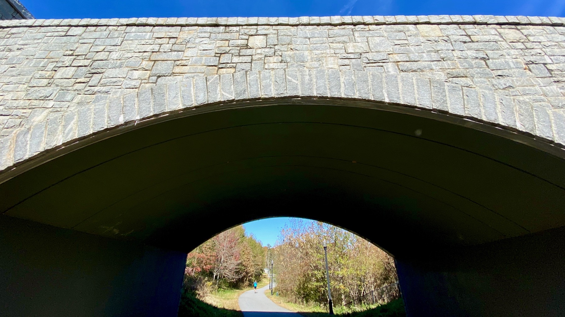
Hmm. Poorly framed, so just a snapshot. I do like what I was going for, however. Blue, blue sky.
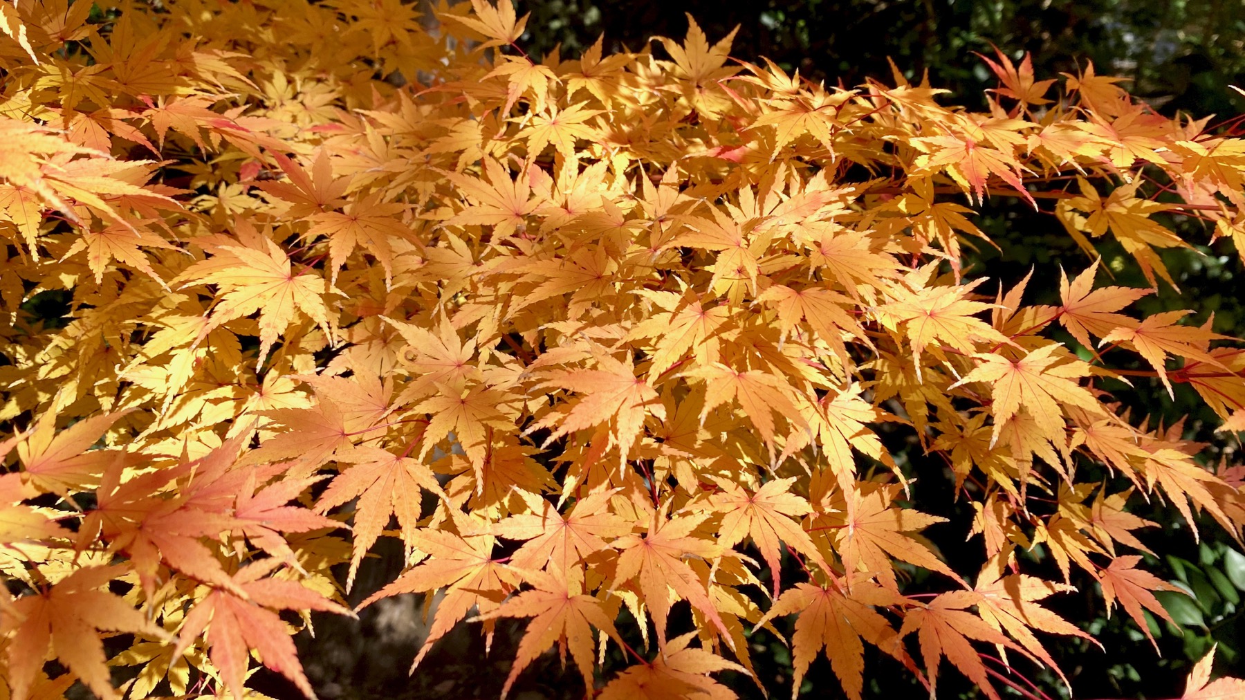
This Acer is golden orange, in contrast to the red of yesterday’s specimen.
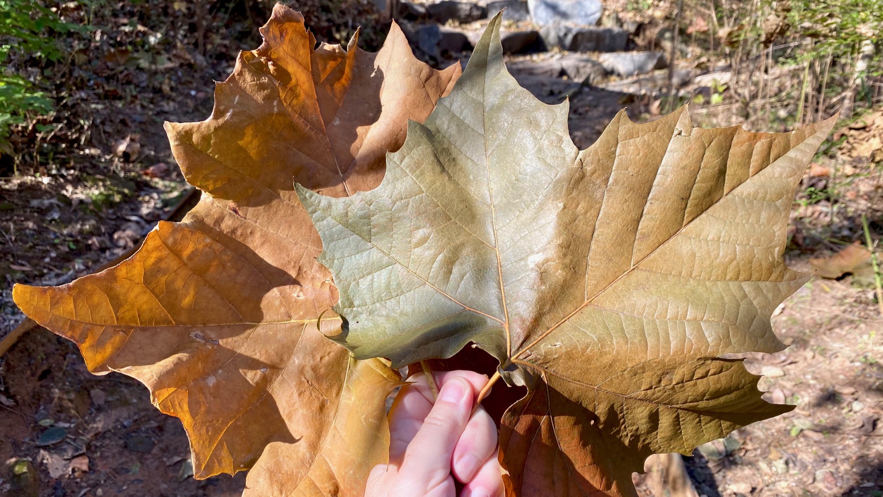
On one stretch of trail, I saw many of these leaves—sycamore, I think. These are among the largest. Interestingly, most were “face-down.” I hypothesize that the asymmetric weight of the stems must tip them that way.
Posted at 6:35 PM |
Comments Off on Park prowl
Quite a wander today.
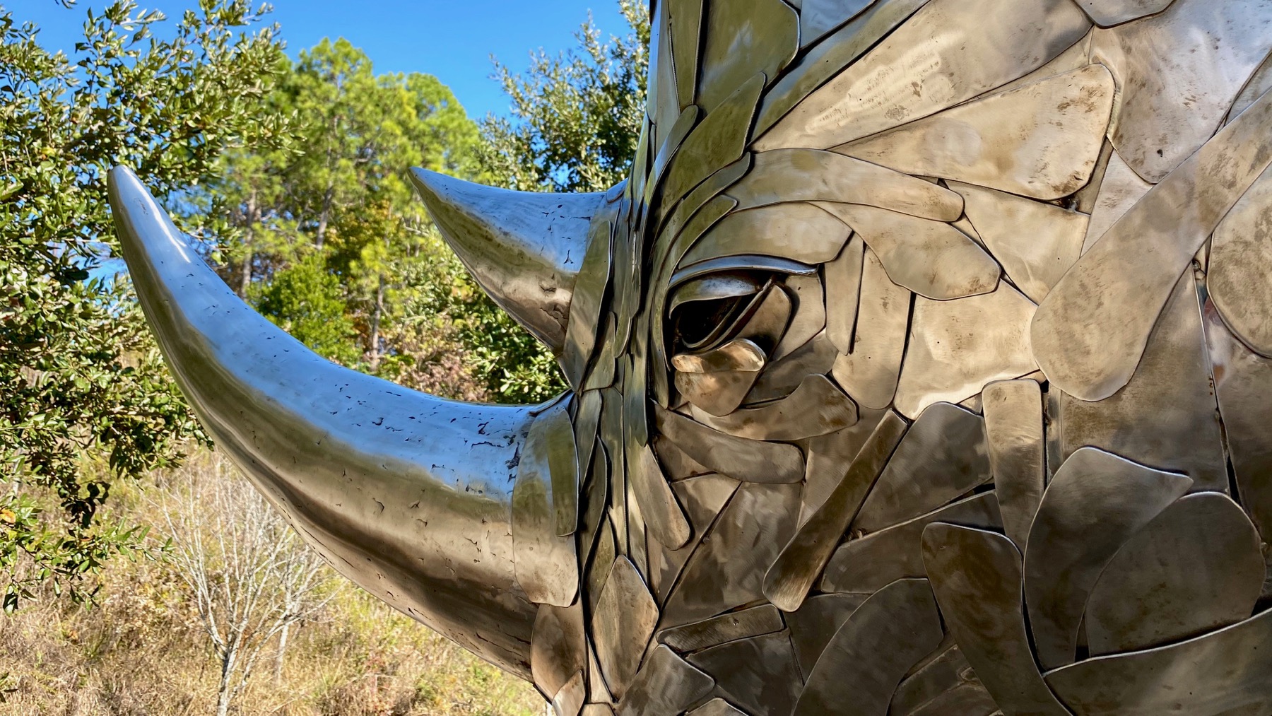
Along the BeltLine to a section that was weeds and puddles last time we walked there…a ways past this rhino.
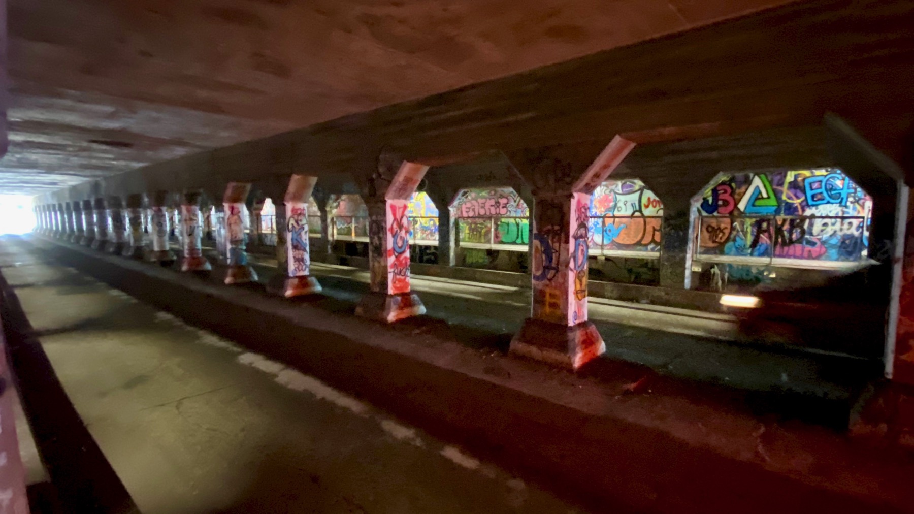
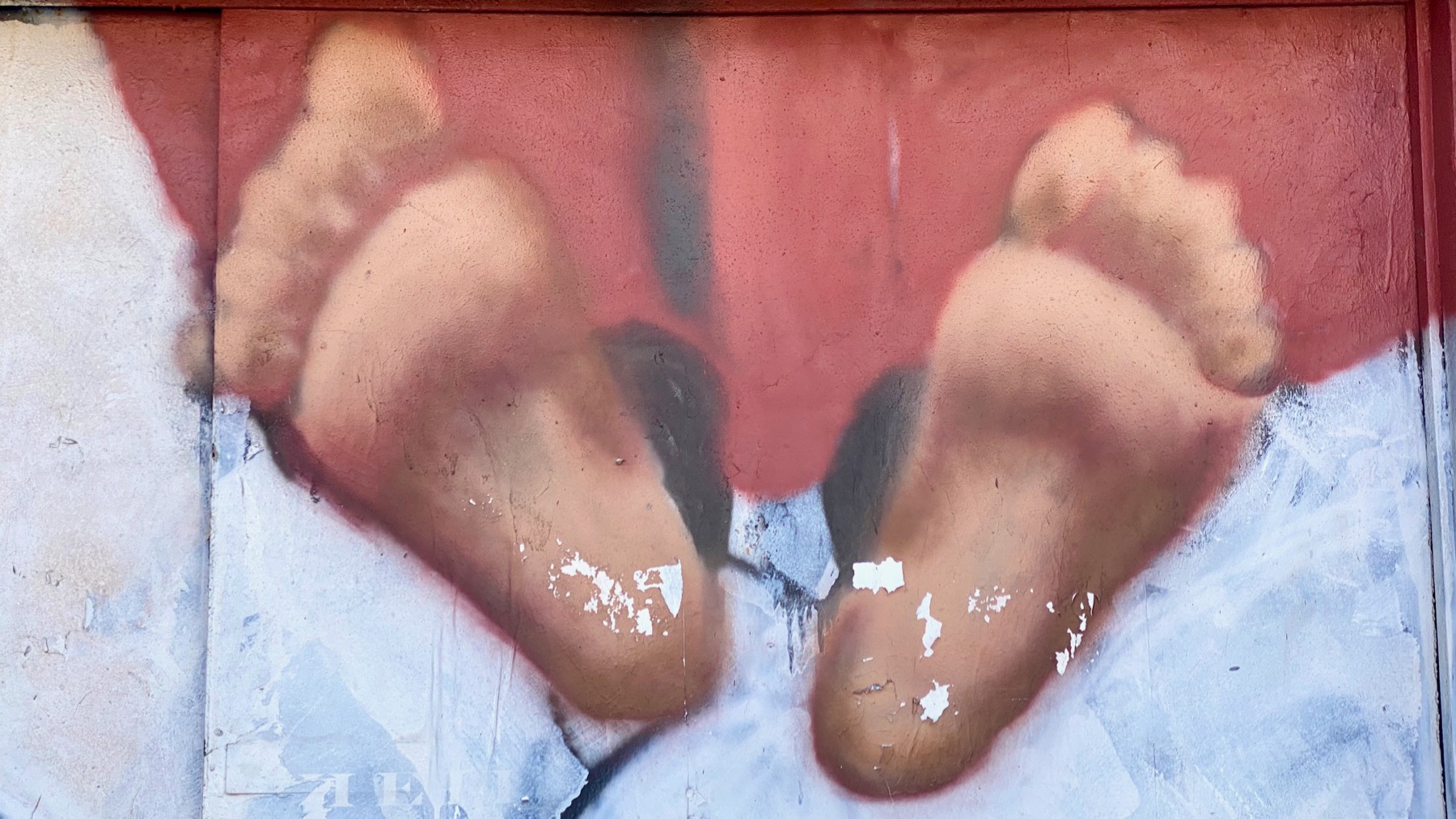
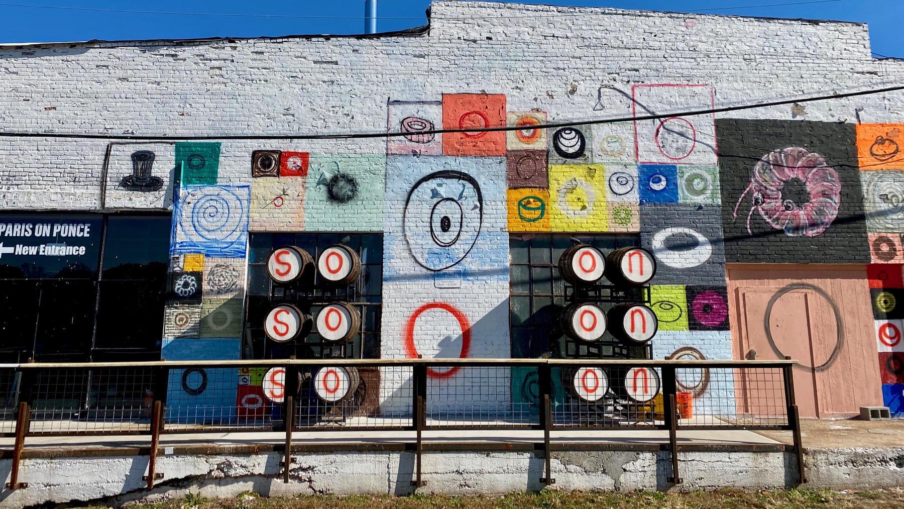
All the way to Krog Tunnel (and twenty steps into Cabbagetown). So much fresh paint I almost got a “tunnel high.”

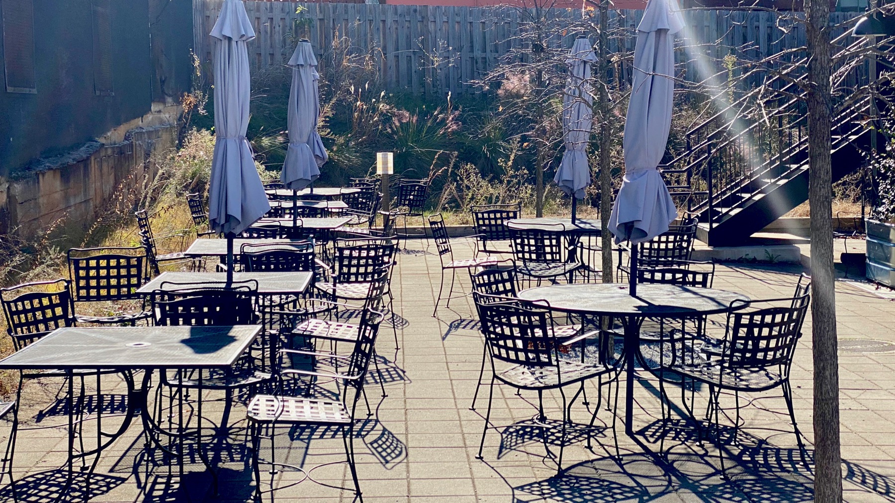
This was such a long wander that we stopped on the Kroger/Starbucks chairs opposite the old Sears building (huge), and in front of the Brand New Kroger.
Posted at 8:25 PM |
Comments Off on Tunnel high