Musings
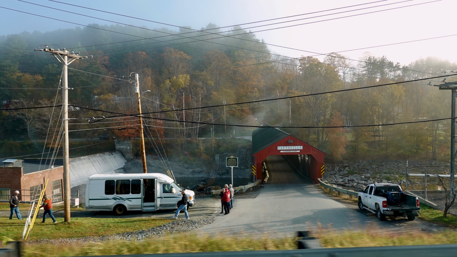
Taftsville Covered Bridge, with autumn complement of leaf-peepers….
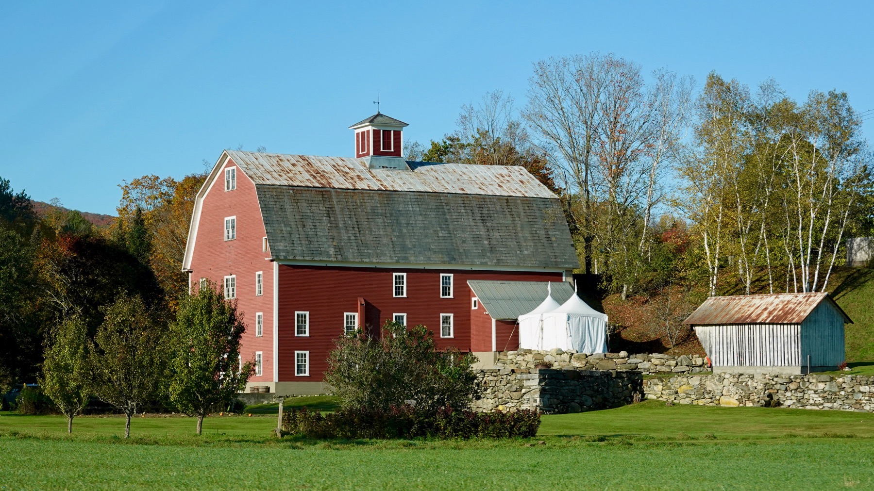
When no longer farming, used a large quaint barn, barnyard as event space.
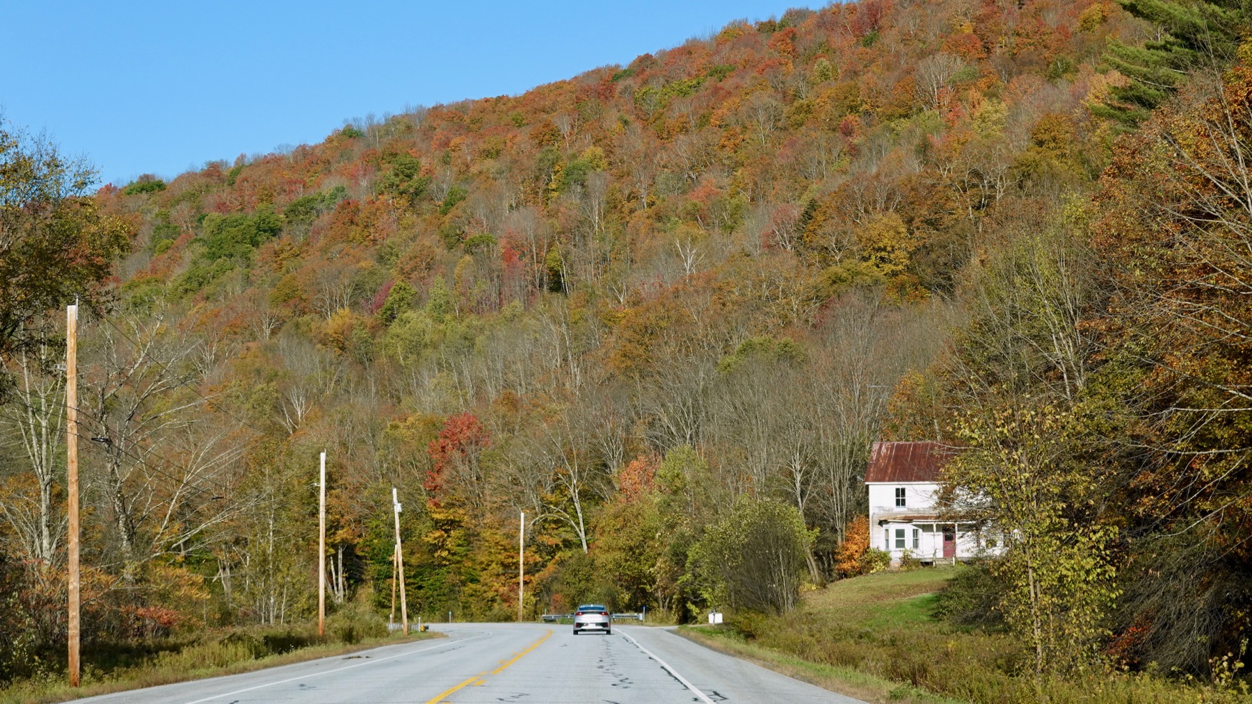
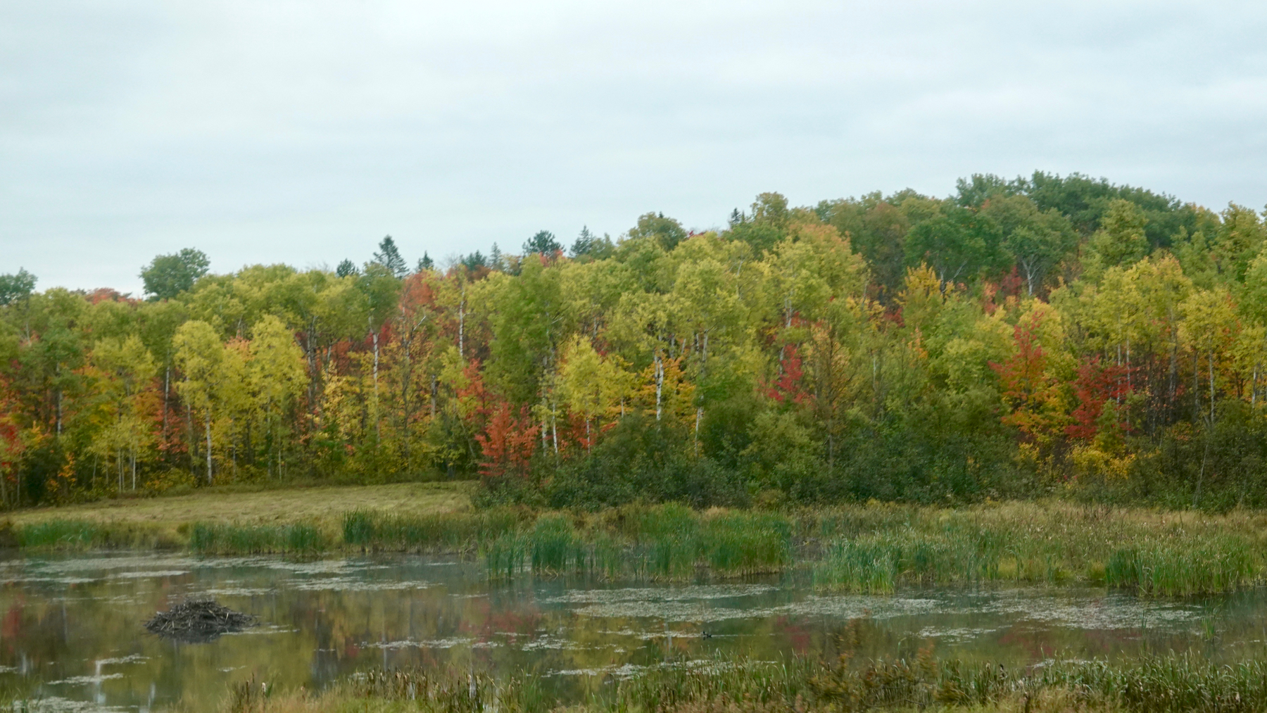
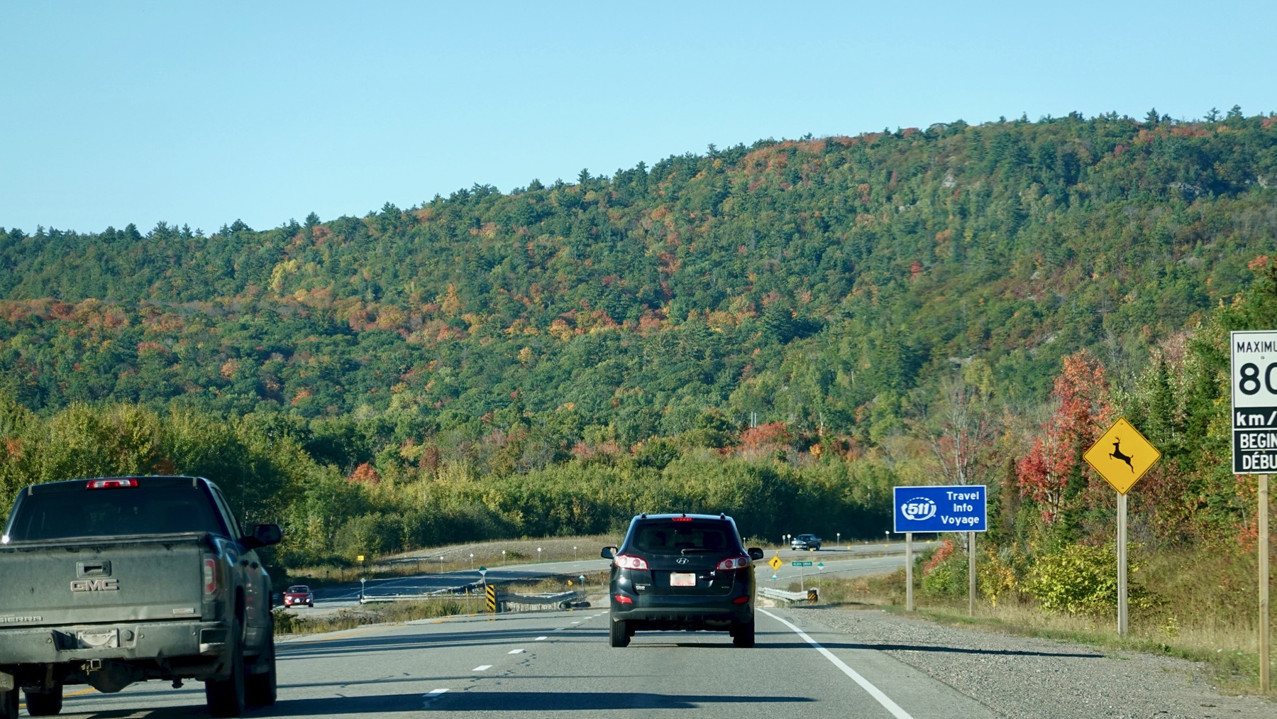
Fall color mosaic varies. We are westbound here—nice light.
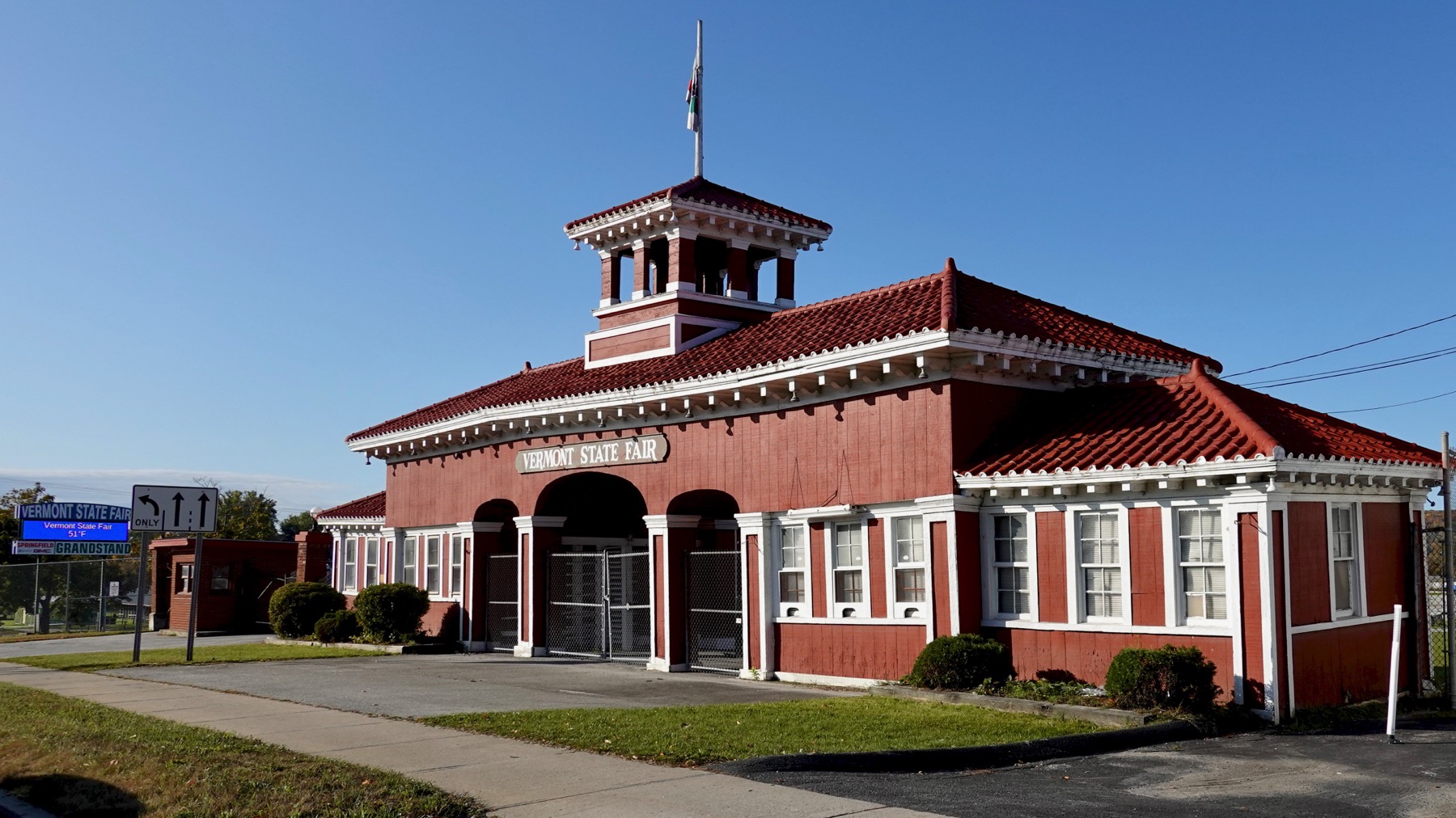
Main gate, Vermont state fair, with ginger breading.
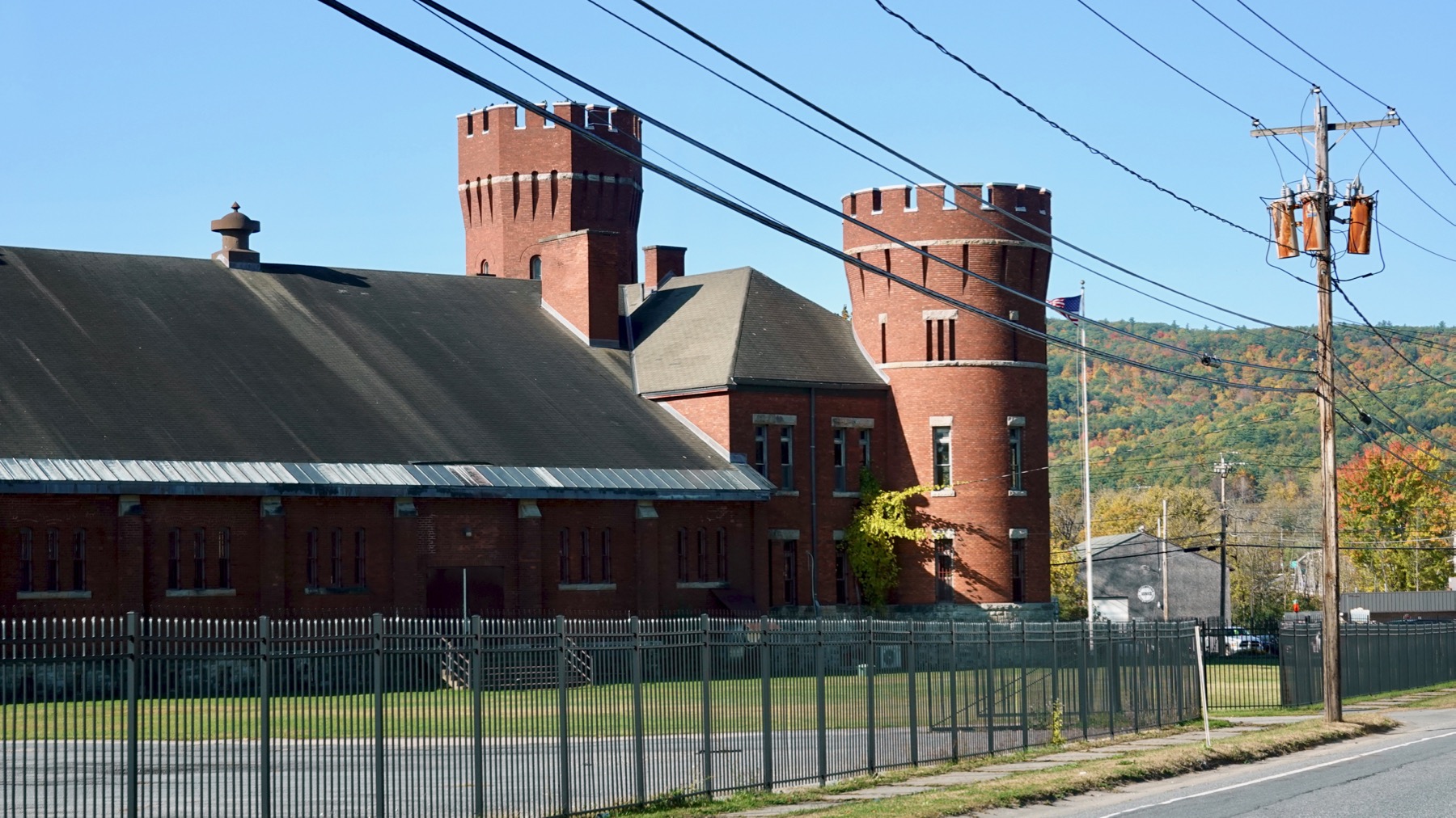
Armory with asymmetric towers.
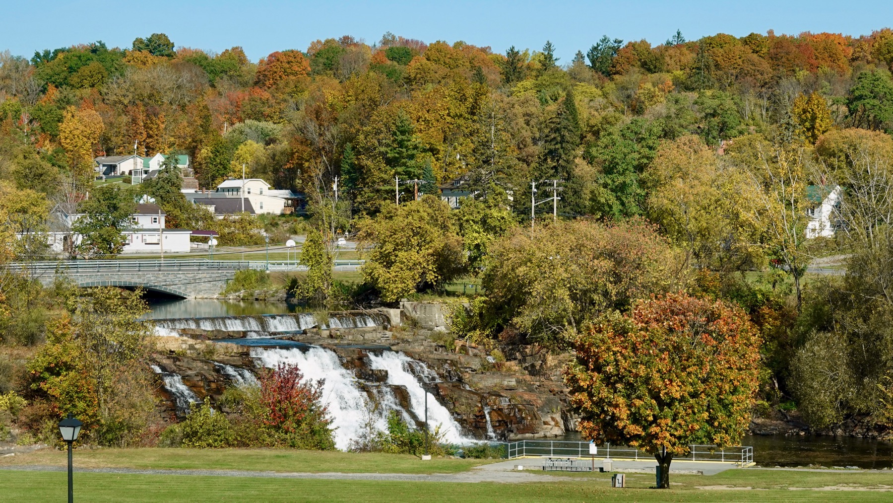
Ticonderoga’s mill dam. There were at least two mills on the river, both long gone.
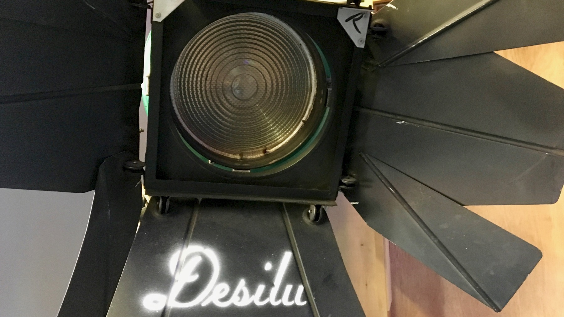
Lucille Ball was the backer of the original Star Trek; her money, exclusively as I understand it, got the pilot made, then a second pilot made with new actors, and on the air. She and Desi were divorced by then, but the studio name stayed, and she ran it.
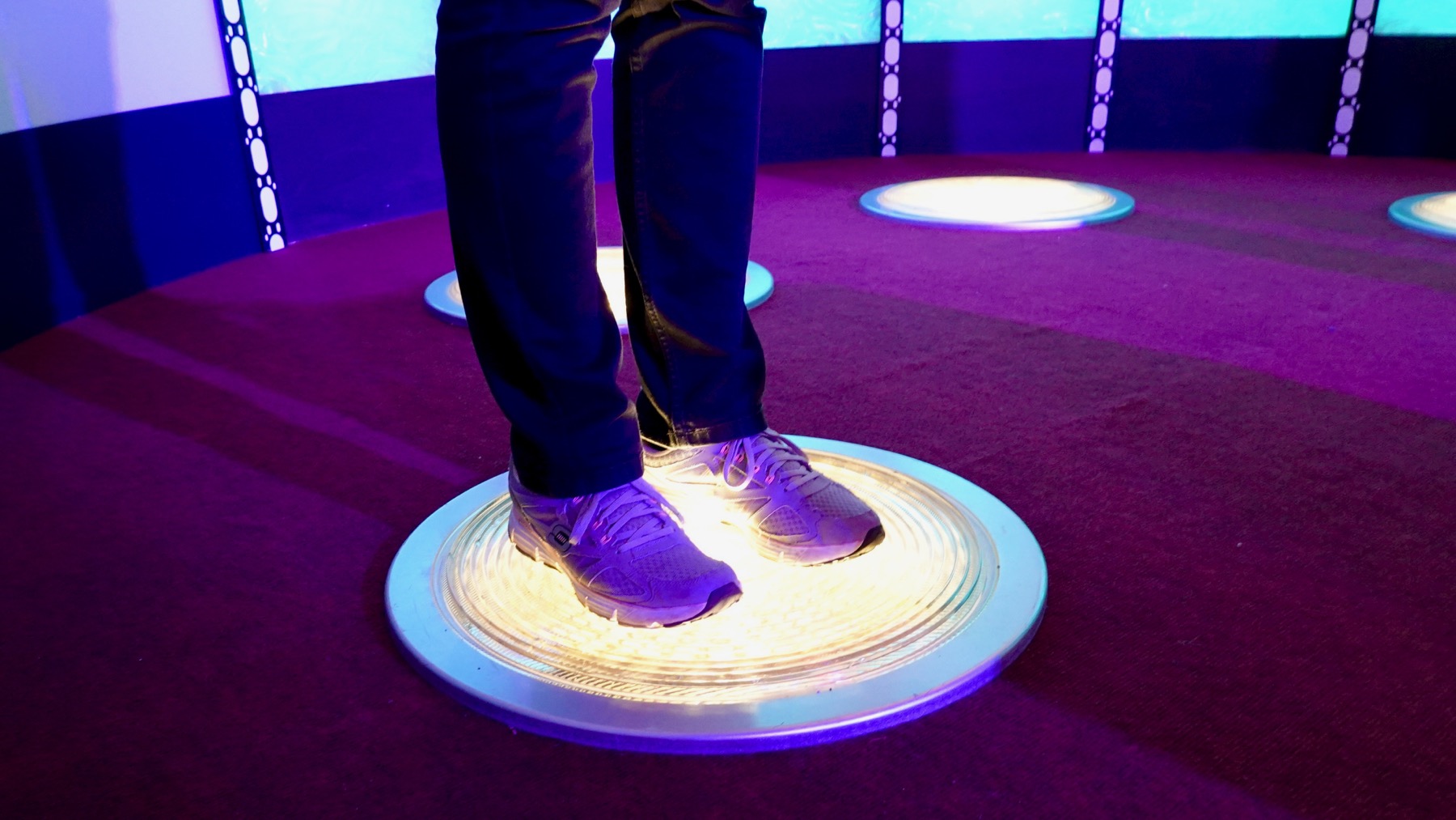
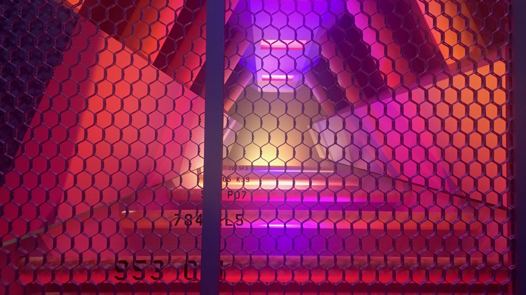
Modern transporter footwear.
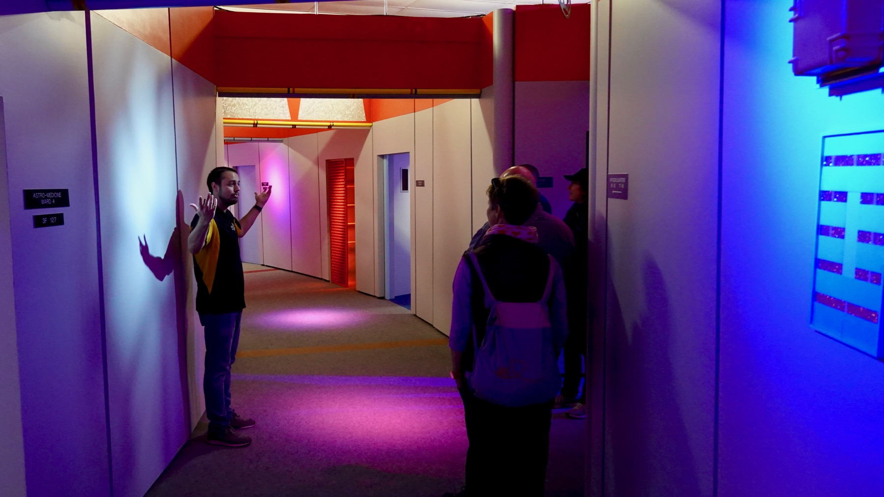
Magic hallway—Drew, our guide, said that was the filming term. The arc was long enough that actors could walk/run-and-talk for a bit before reaching the end.
Warp core.
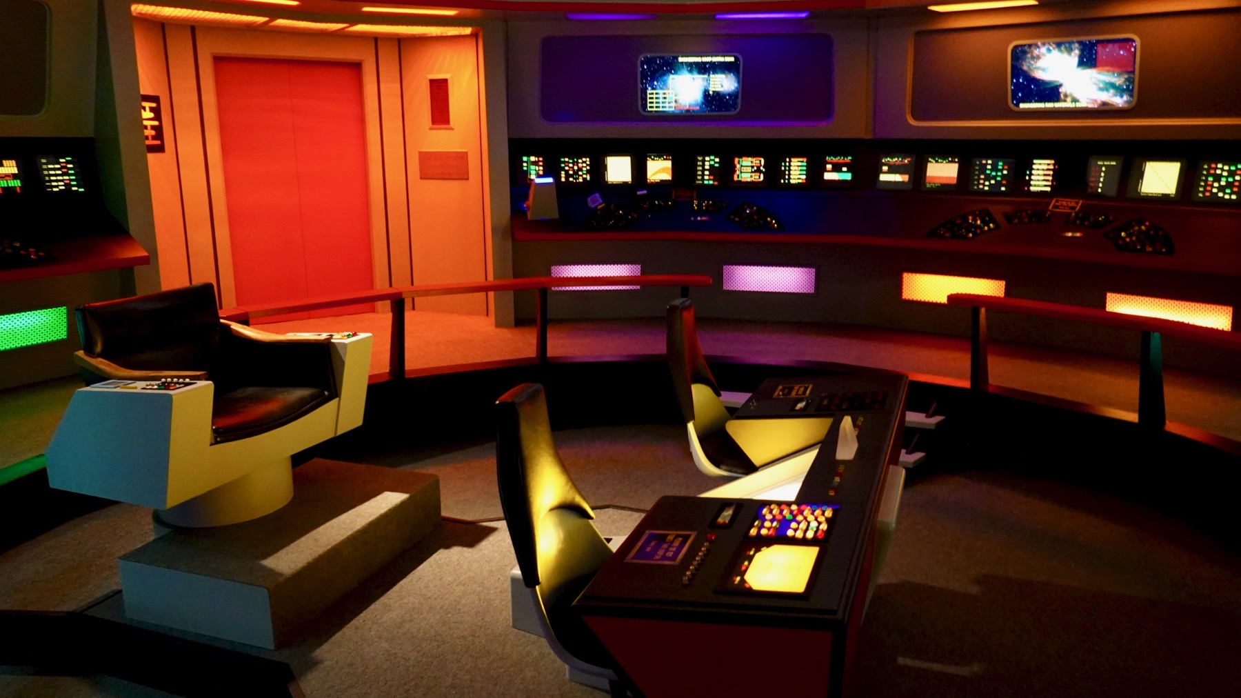
Bridge of the Enterprise.

Traditional double bridge.
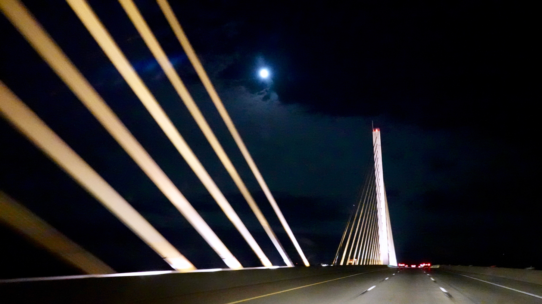
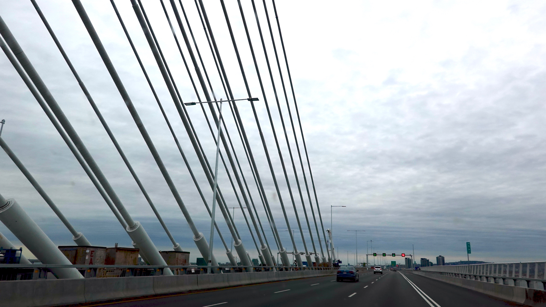
Modern highway bridge.
Apologies for late/”10:22pm” post; we had a l-o-n-g drive yesterday and I was pooped/too busy navigating.
Posted at 10:22 PM |
Comments Off on Built environment, especially bridges
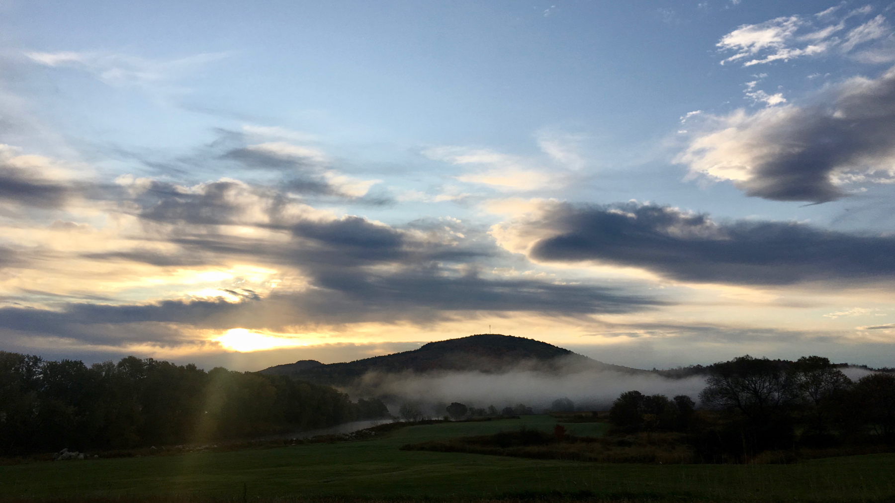
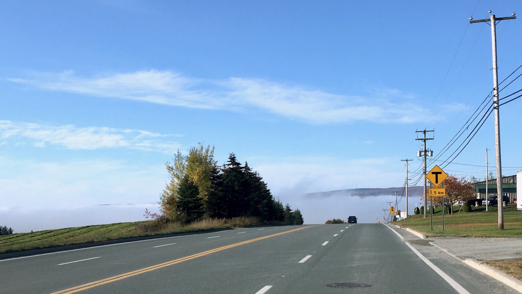
Played tag with the fog, as we did yesterday.
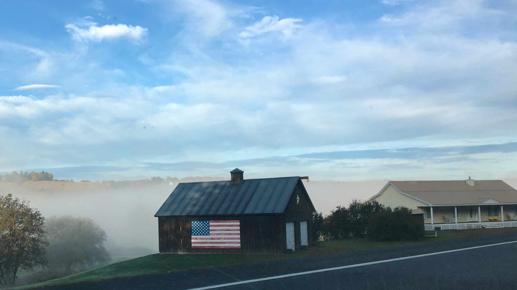
Fog_n_flag.
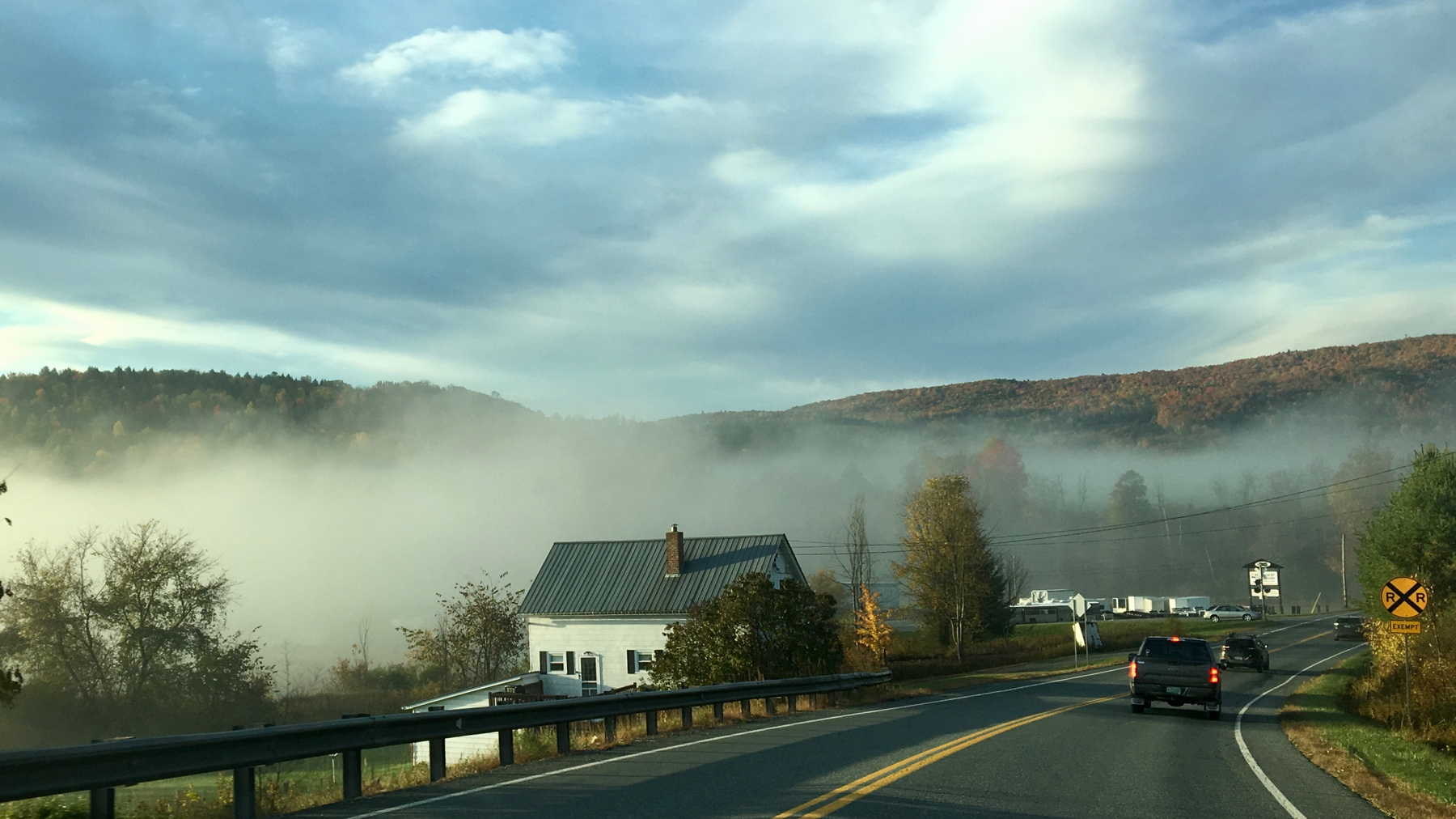
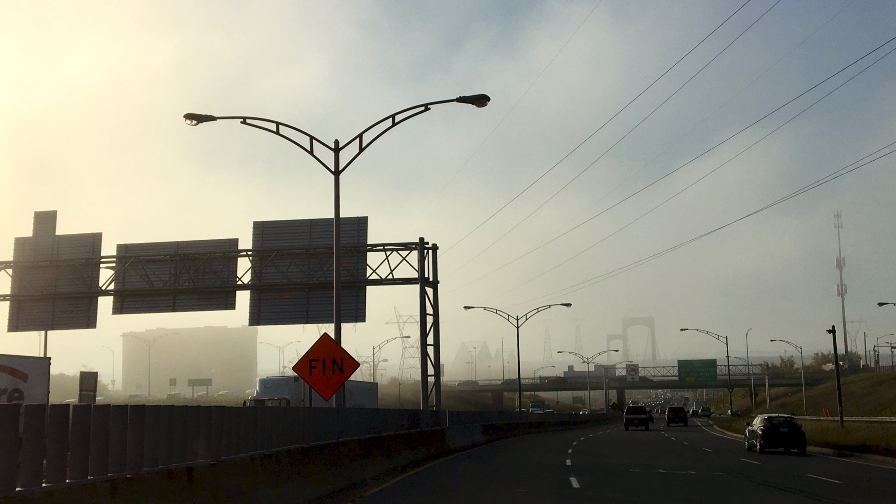
Bright, but valley-fog persists.
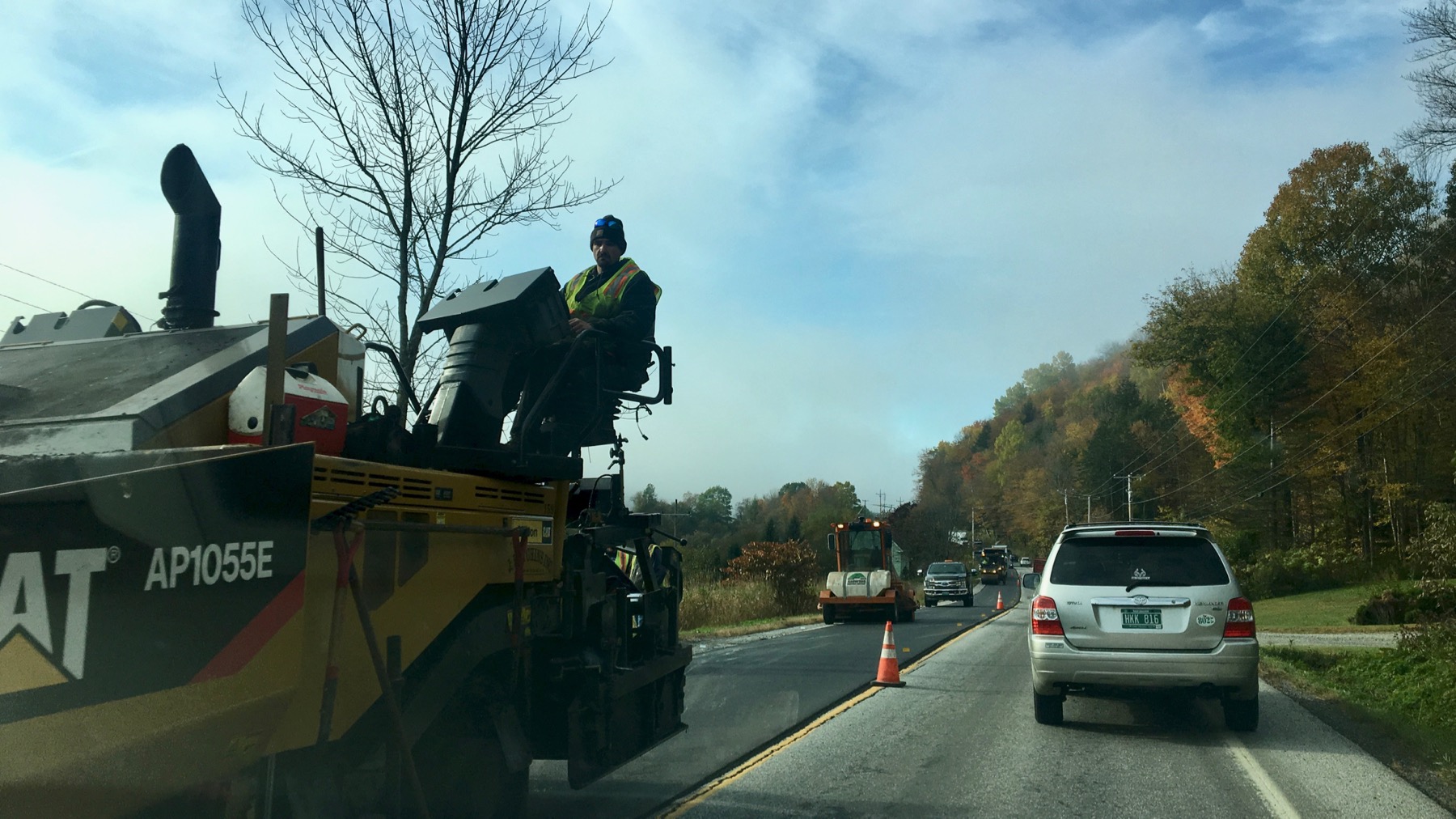
Sky clears, but impediments in the roadway.
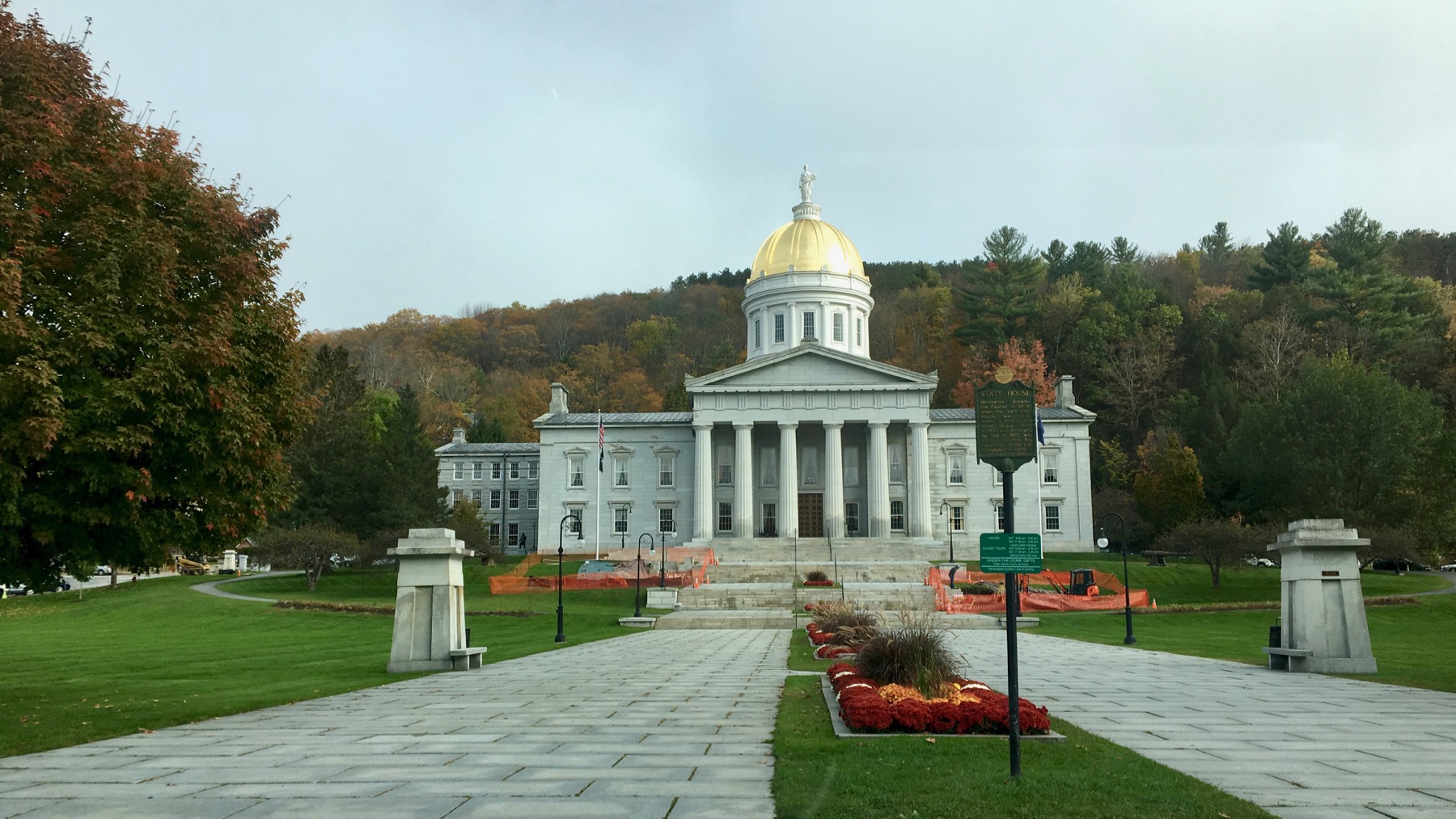
Clear view of Vermont’s capitol. You’ve heard of tiny houses. This may qualify as a tiny capitol.

Spent hours with good friends who live far away from our home-base(s), in this house behind three brilliant maples. We had a lovely time together, short yet powerful. 💖 💚 💓 🍀
Posted at 8:38 PM |
Comments Off on Fog/not fog
Fog mostly obscures bridges over the St. Lawrence River as we leave the “national” capital. You may think it’s Ottawa, but in this province it’s Québec City.
We escaped the dense fog, but continued to see it in valleys for some time.
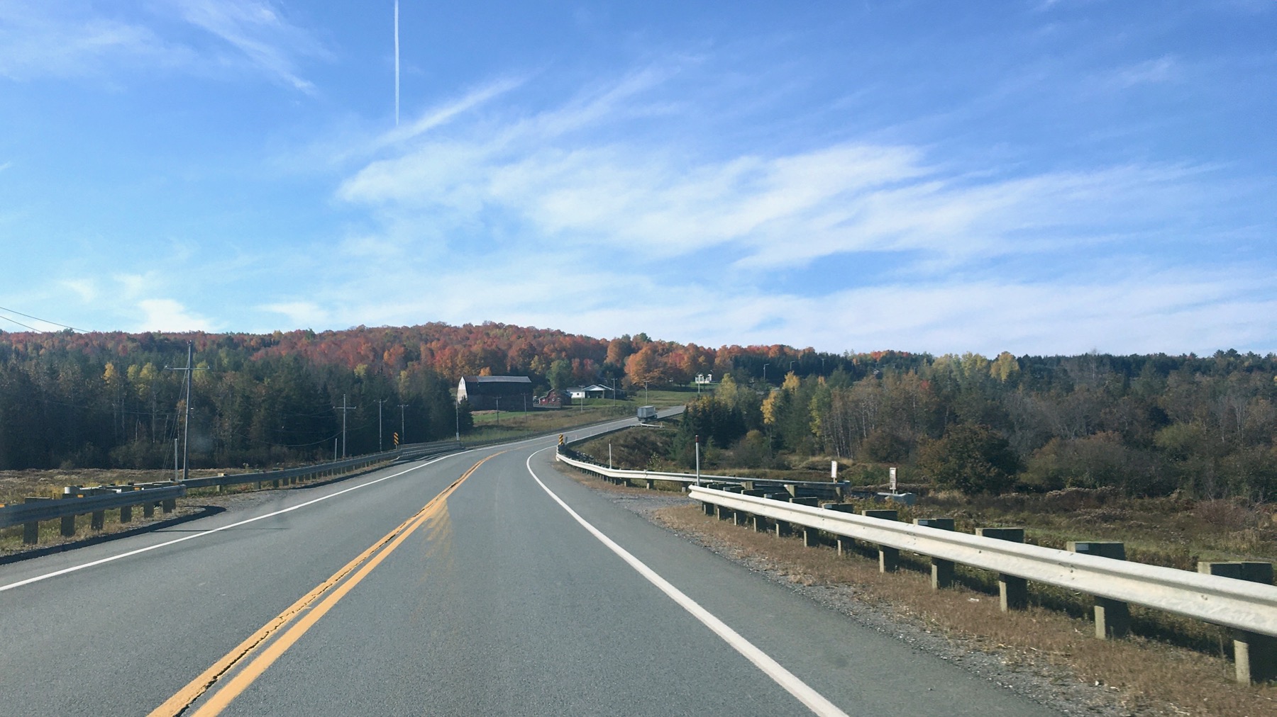
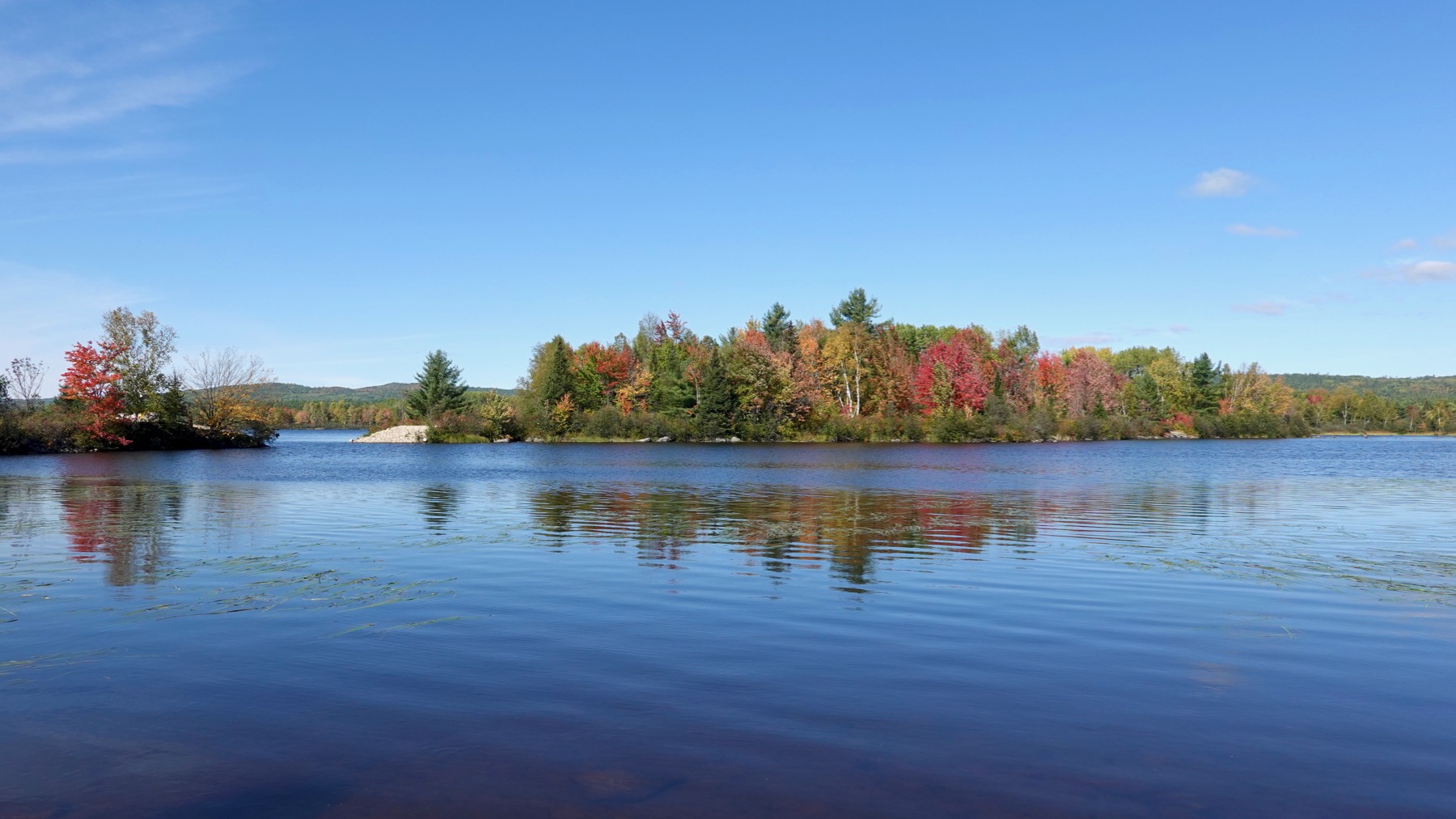
Finally: clear and colorful.
Pair of facing wood figures by the tracks in Lac-Mégantic. Lac-Mégantic is where a 74-car train derailed and exploded in July 2013 killing over 45 people and destroying more than 30 downtown buildings. We saw many new buildings and more empty spaces. Land along the tracks remains unbuilt, and is now a park with signs detailing the history, nice plantings, and public art.
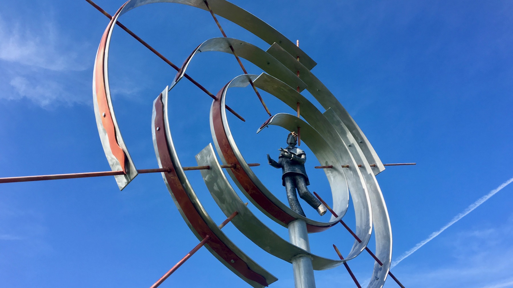
Metal art by the tracks in Lac-Mégantic.

We approached Mont Mégantic from the SE. That’s the rim of what looks like a crater, but officials indicate is a monadnock. Reasonable signage in the visitor center. Like much of the signs in the province they are in French only. I take this as great sarcasm (or something) on the part of French Canadians, who made the rest of Canada post bilingual signs and official displays.

View from the “rim” to the east. Those bumps on the horizon are northern outposts of the Appalachians.

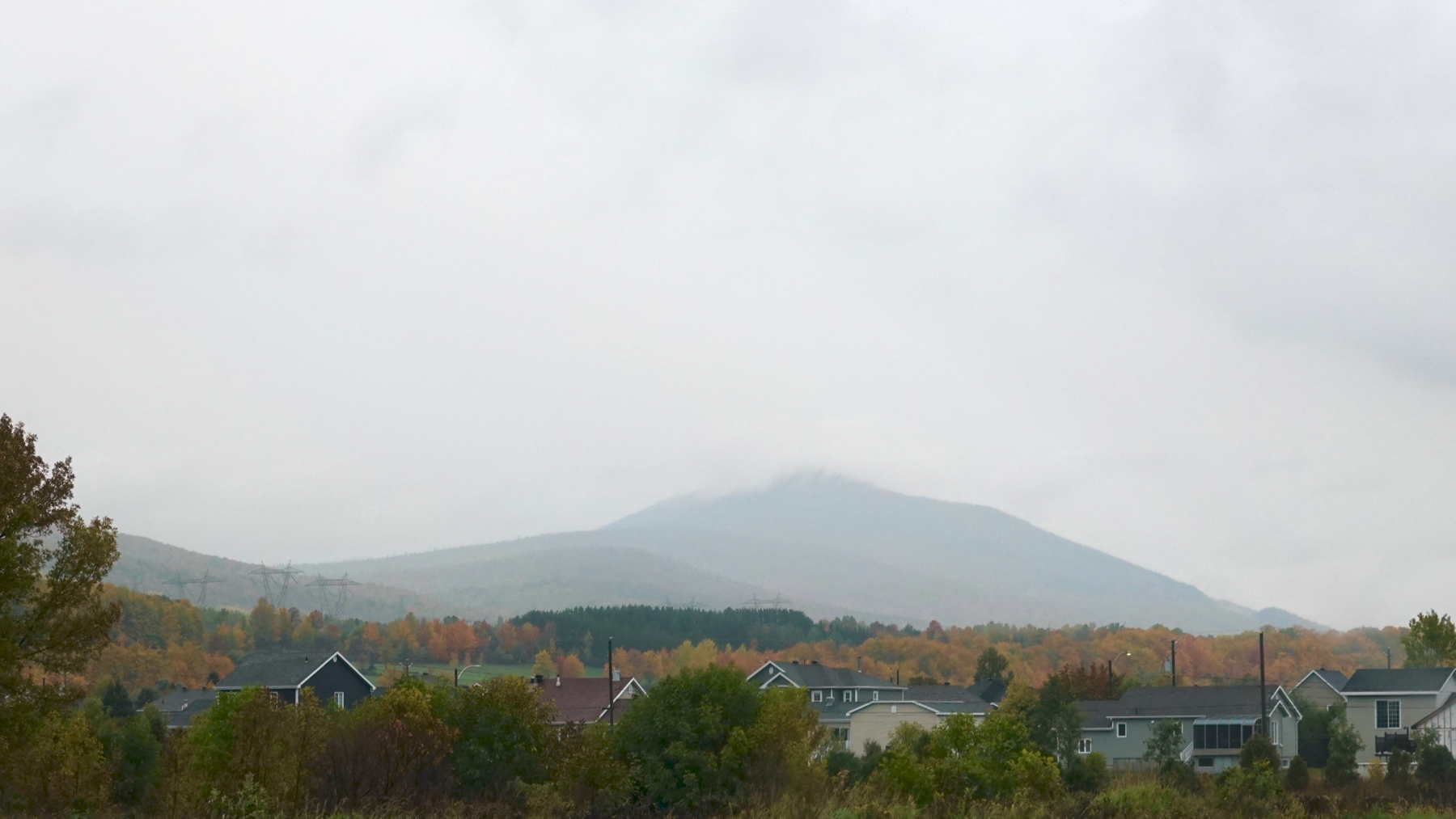
Mont Mégantic from the SW. Love the quick transition between the lower deciduous forest and the upper pines.
We crossed an international border. Some slight confusion about why people from Georgia are in this part of the world, but that’s to be expected.
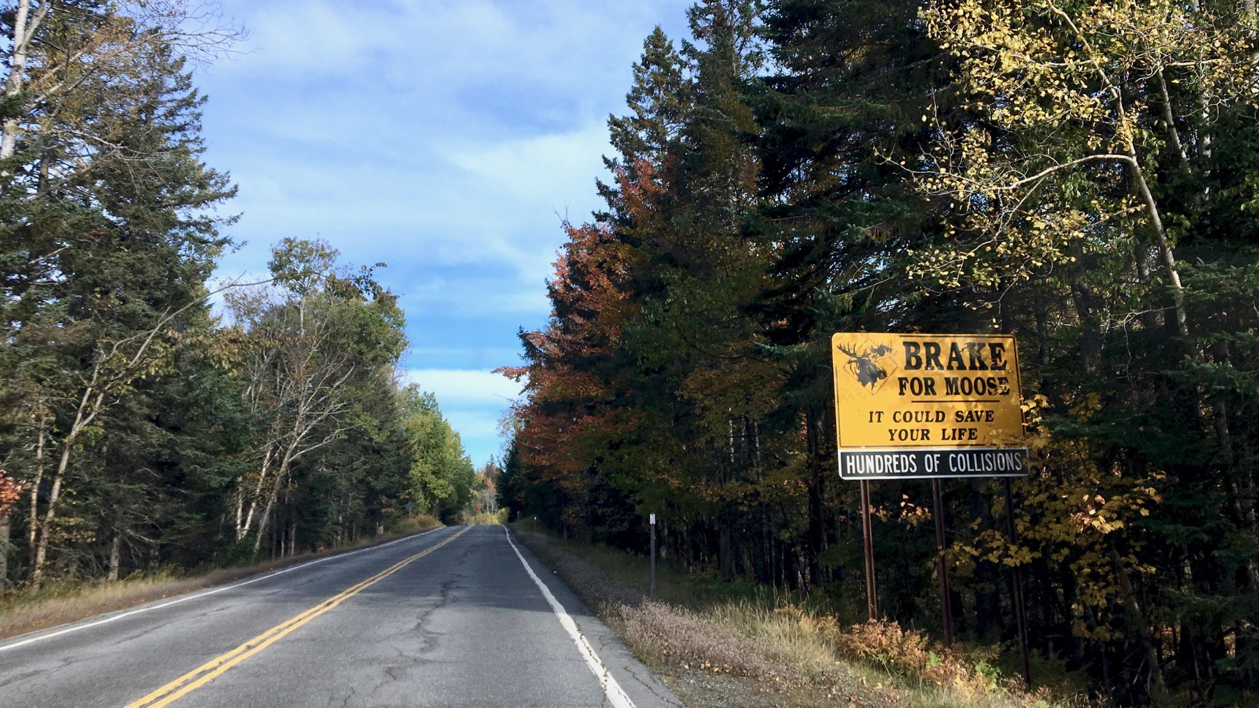
We have been seeing moose signs since soon after we crossed into Canada. Or: moose signage. No moose. Thankfully! [They are huge beasties!]
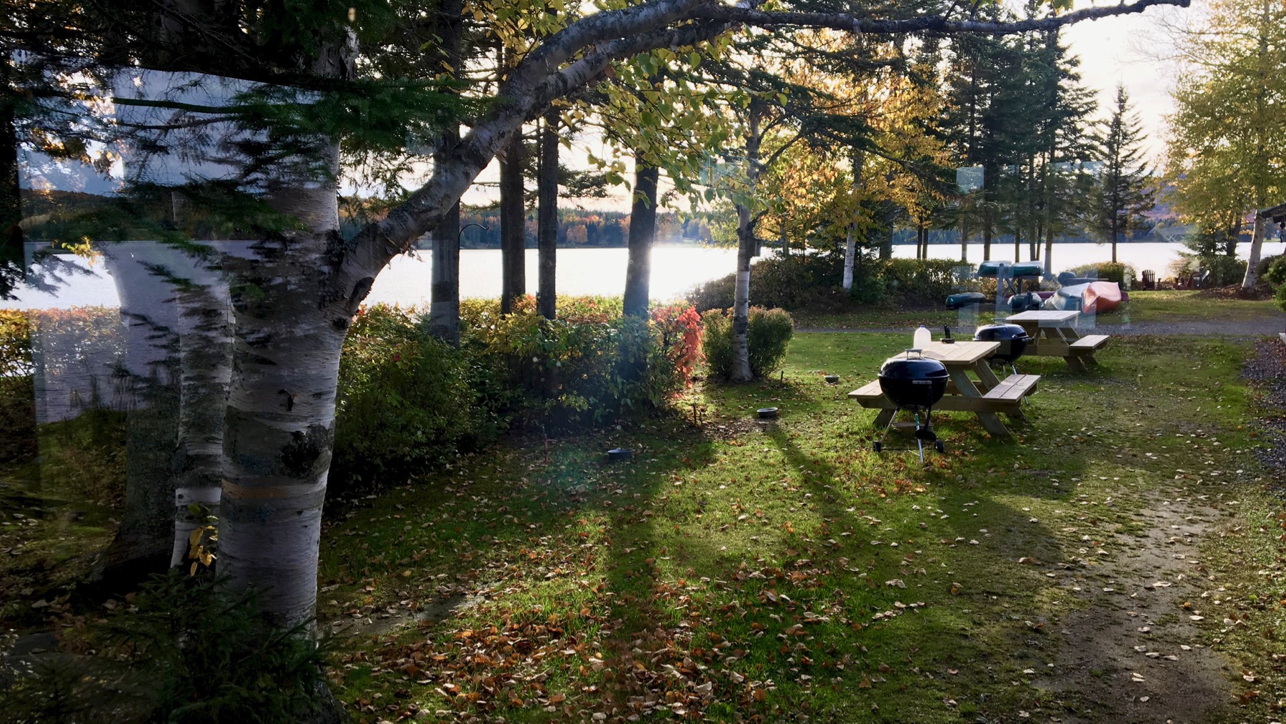
And, unusually, we’re overnighting in a resort that echos a Mrs. Maisel complex without the entertainment facilities, other than…
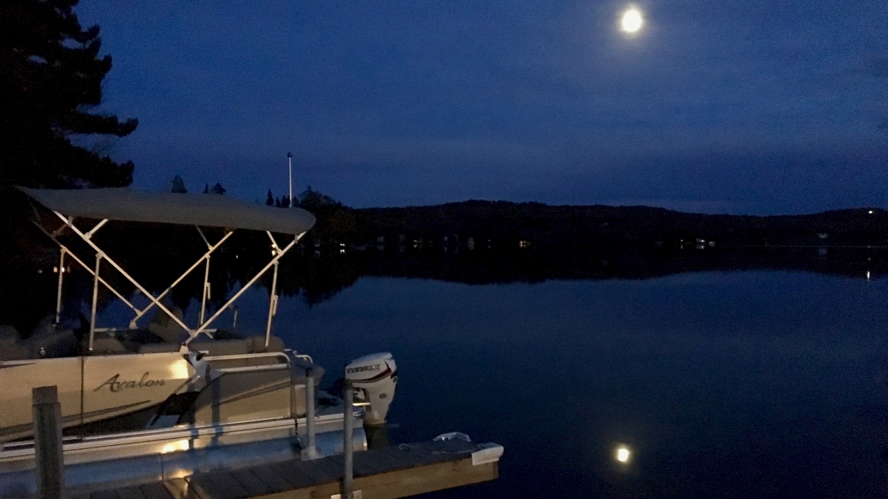
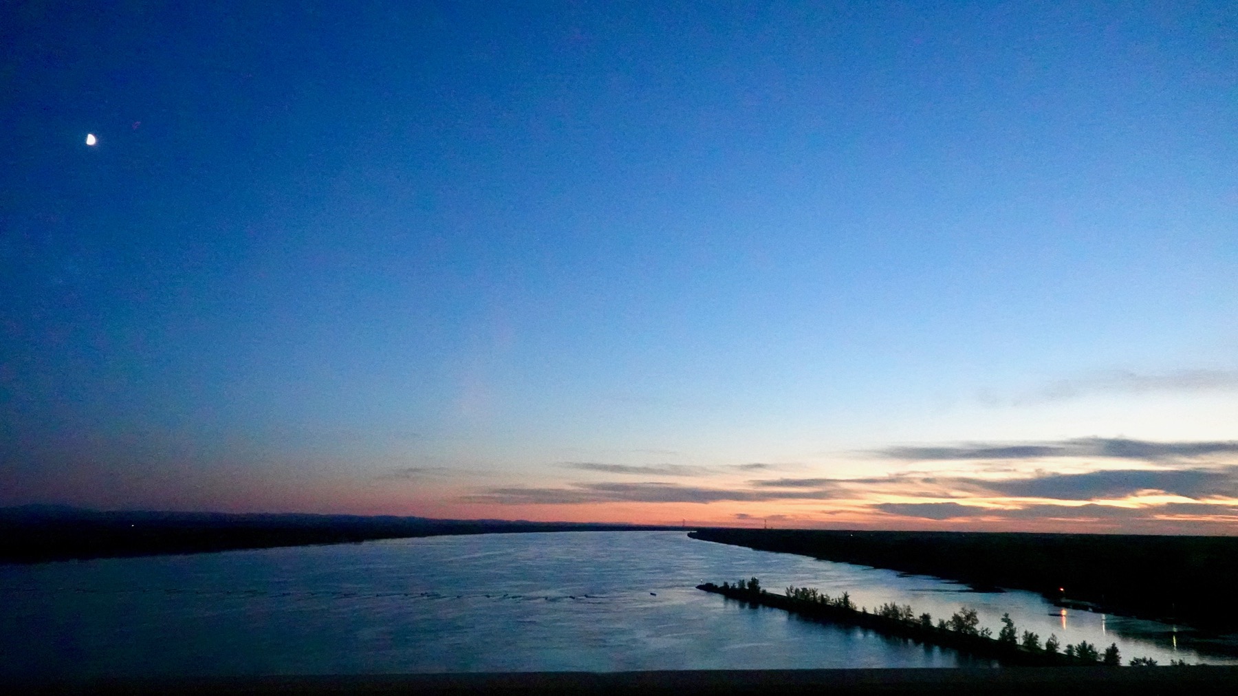
…fishing and a dock and boats. You’re on your own to enjoy the fresh air. And the moon!
Posted at 6:41 PM |
1 Comment »
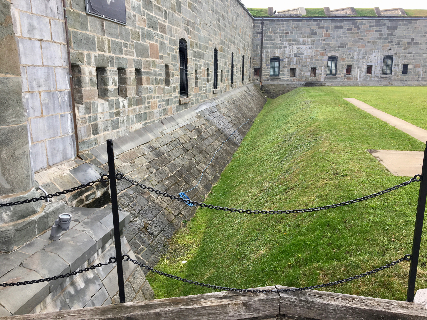
After a nice walk through the trees on a boardwalk high above the St. Laurence, we popped out by La Citadelle de Québec. We opted to look from the entry gate and not take the tour. You can’t wander around because this is still an active military base, plus it is the official residence of the Queen of Canada, who is also Queen of England, and I’m sure rarer than rarely visits, let alone stays in the Citadelle. Apparently electrification is important to the mini-moat around the exterior wall.
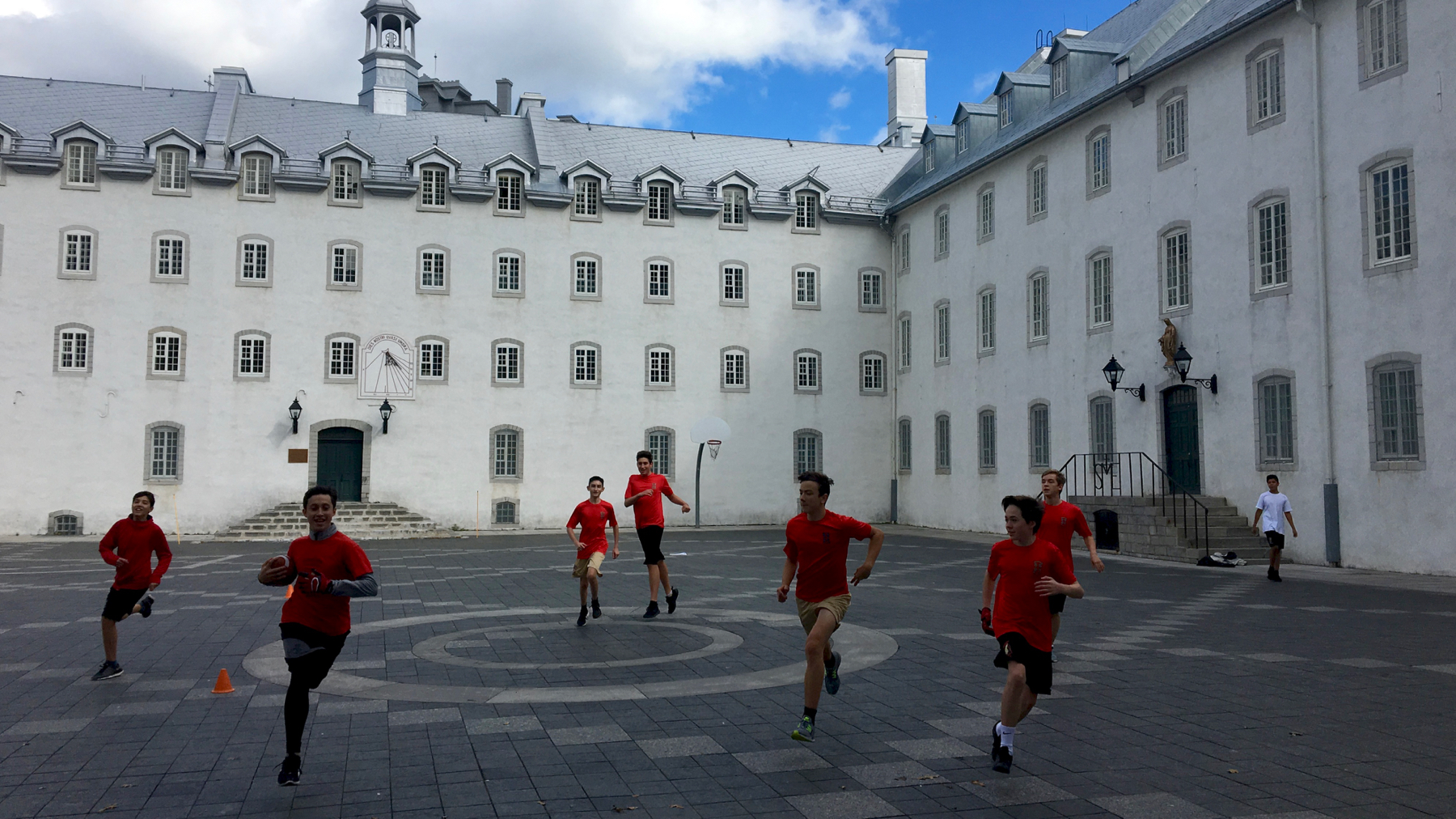
This is known as the Children’s Courtyard, within the Petit Séminaire de Québec, a Roman Catholic secondary school. Turns out where I was standing was the goal. The young man (second from left) stopped just in front of me and extended his foot toward me, tapped his toe immediately in front of my feet (no fudging!), and quickly and simultaneously deftly turned to continue the game. I really felt like a darned tourist, right in the way of real life.
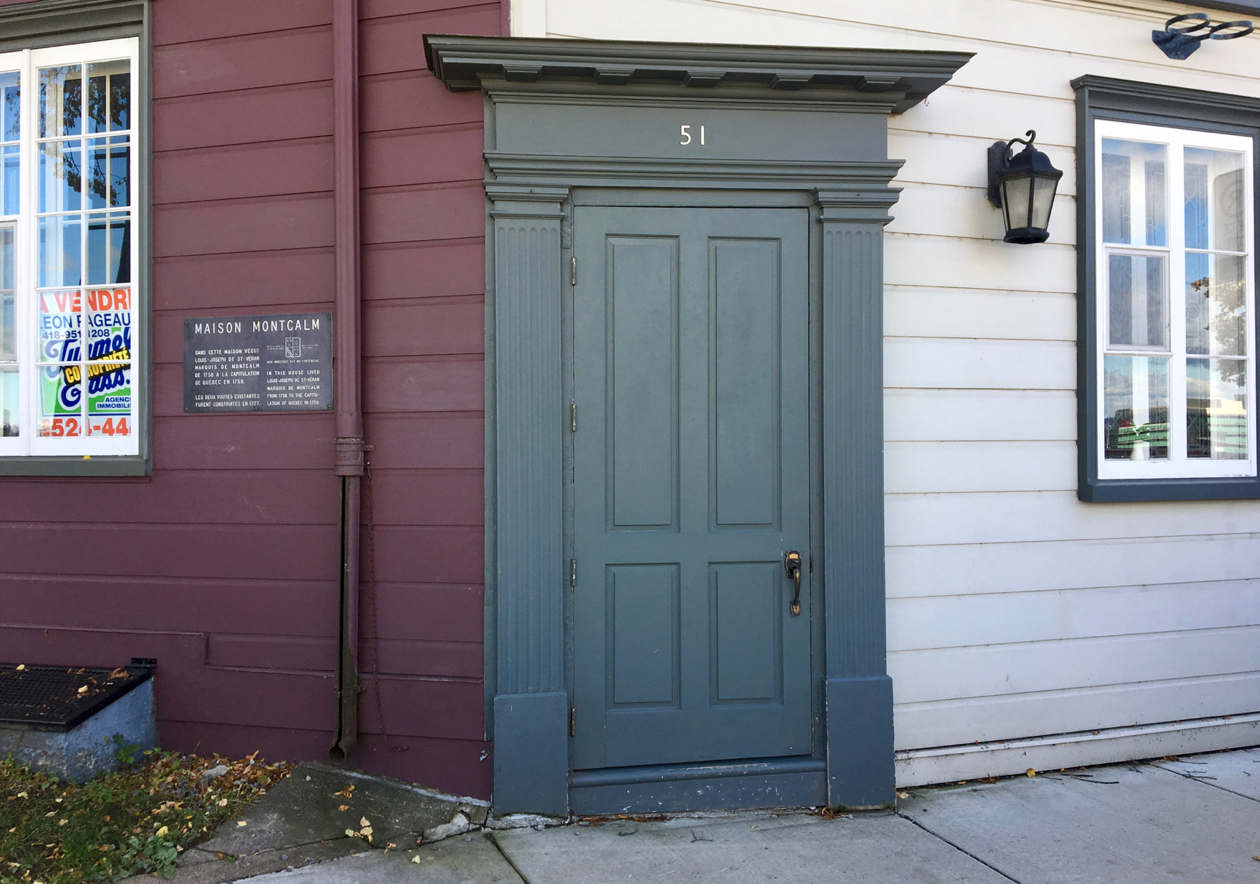
On the slope as we worked our way down from the heights, we found this door. It’s not on a straight wall, and is not flush with either wall, the dark or light one. Rather strange. It is 51 Rue des Remparts, and is for sale. Across the street are two cannons. Who wouldn’t want to live here? Plus the plaquette notes that this was the home of Louis-Joseph de St-Verán, Marquis de Montcalm. You may know him from Québec history from the phrase Wolfe and Montcalm, referring to the leaders at the Battle of the Plains of Abraham here in 1759—both died from wounds they received in that battle.
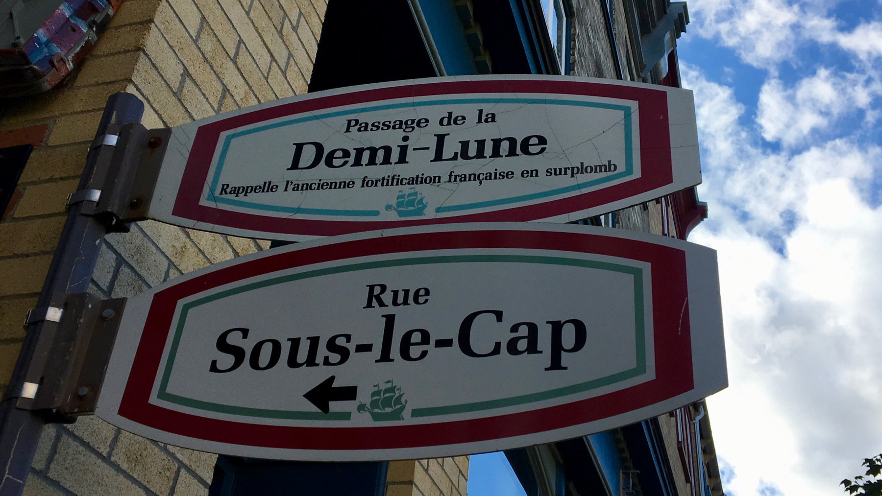
Of course, demi-lune means half-moon, literally. Maybe that’s what it means here. However, on the open highway, it indicates a place where a driver can make a 180 and reverse direction. This meaning doesn’t quite make sense here?
Demi-lune is one of my words for this trip. Another is vitesse. It’s another driving term. It means speed. Vroom-vroom.
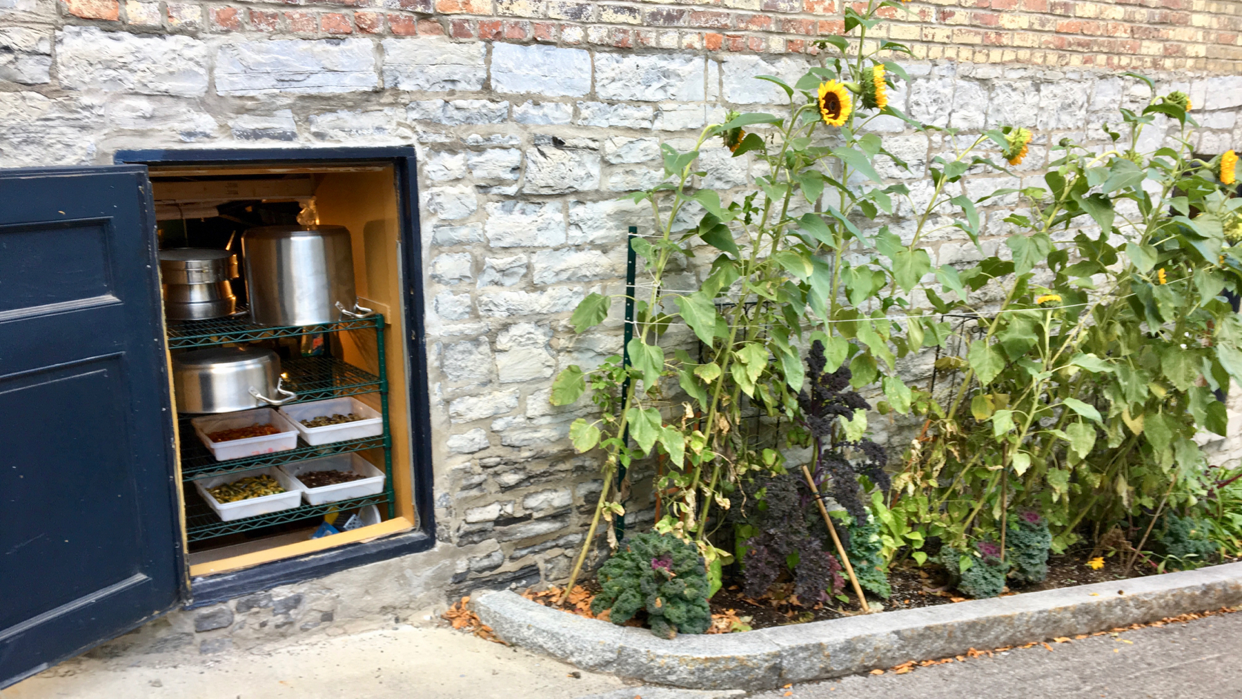
Kitchens get hot. Kitchens in ancient buildings are retrofitted in awkward ways. Thus, they are often cramped, with poor ventilation. Apparently, that’s the case here. Not only is this portal a vent, it’s a storage area for a rack of bins of food. No lie. Without plastic wrap or any other dust/fly protection over the bins. We did not eat here.
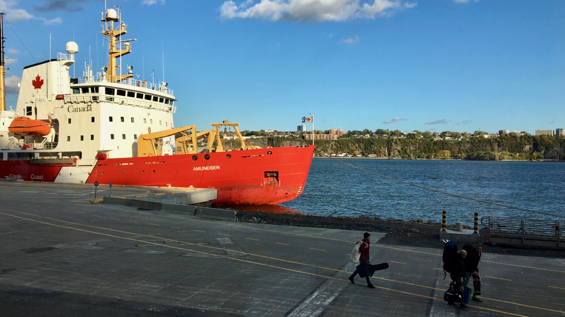
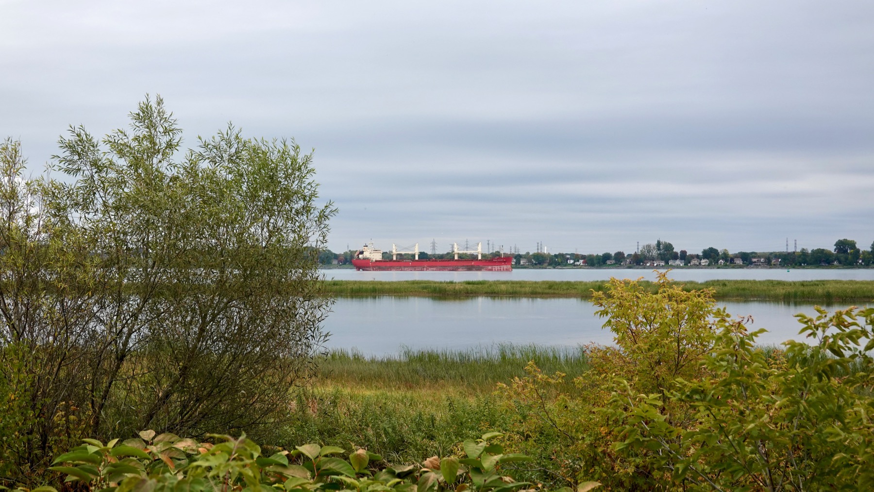
Coast Guard ship Amundsen. Monitors fisheries, and perhaps does research. Dramatic late-day light.
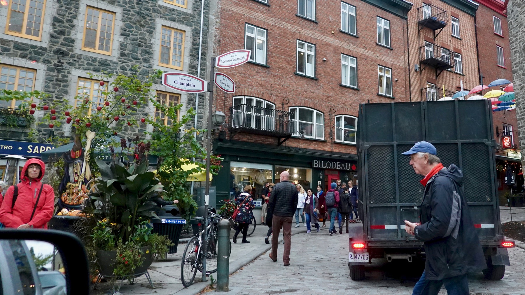
We ate in the lower town. Yum.
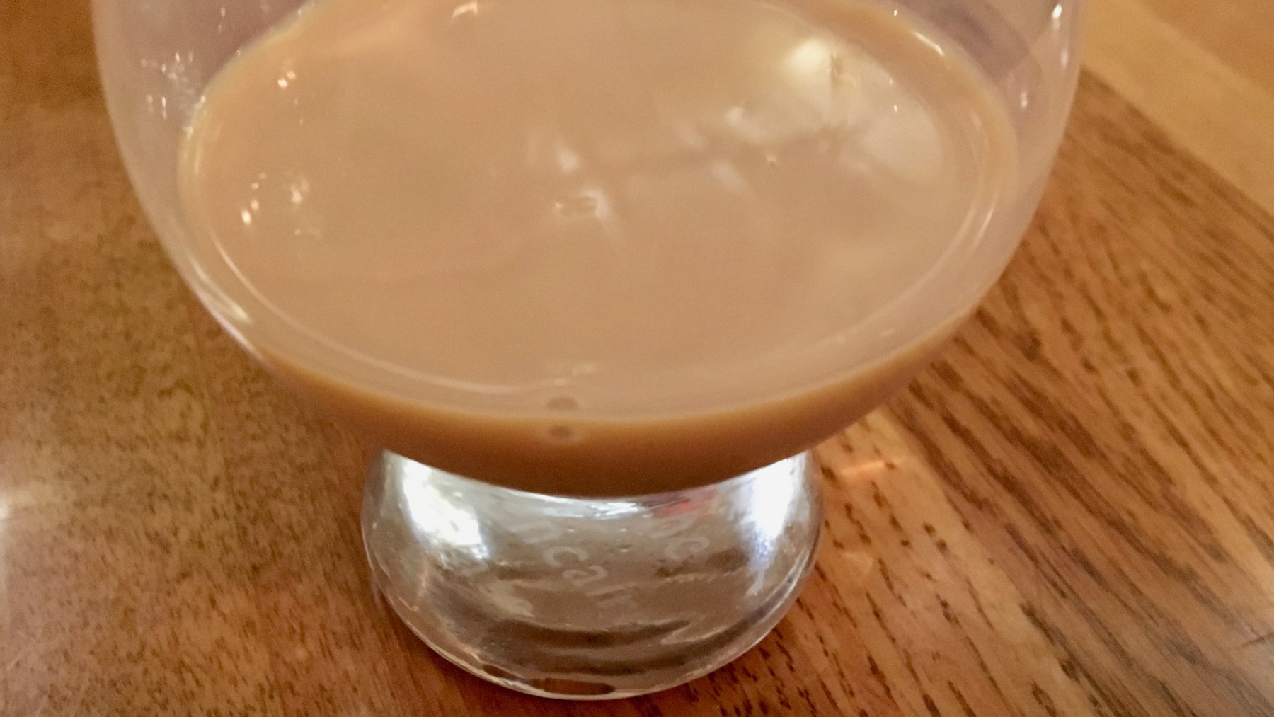
Nothing against the many fine foods and beverages I consumed today, but this was hand’s down the best: a maple syrup whiskey cream liqueur. A gift from our dinner waitress. The maple flavor was exquisite. I didn’t ask the brand, but a prominent one is Sortilège…with Canadian whiskey, of course. WikiPee says French Canadians call this miracle beverage eau de vie d’érable. Heaven in a glass.
Posted at 9:25 PM |
Comments Off on A day in Québec City
We woke to rain that looked like it’d linger for most of the day. We conferred over coffee and decided that today was not the day for walking the streets. Instead we called “an inaudible” and drove along the river to the northeast.

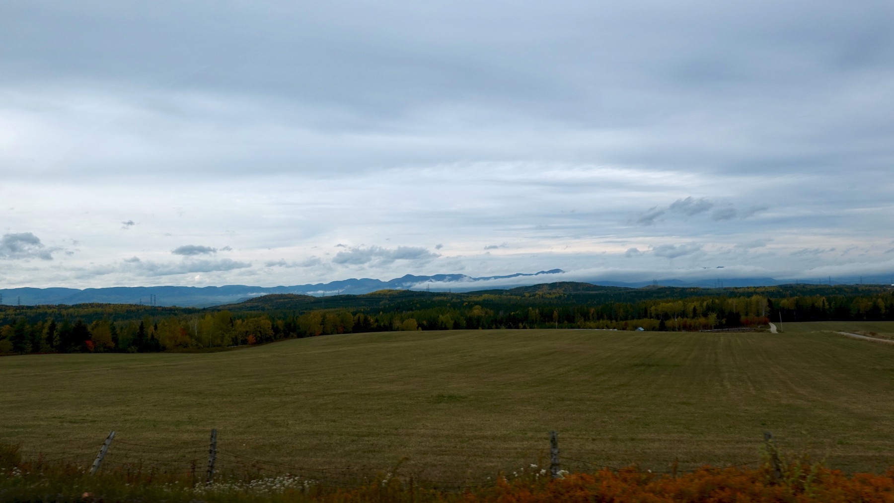
We got some long views.
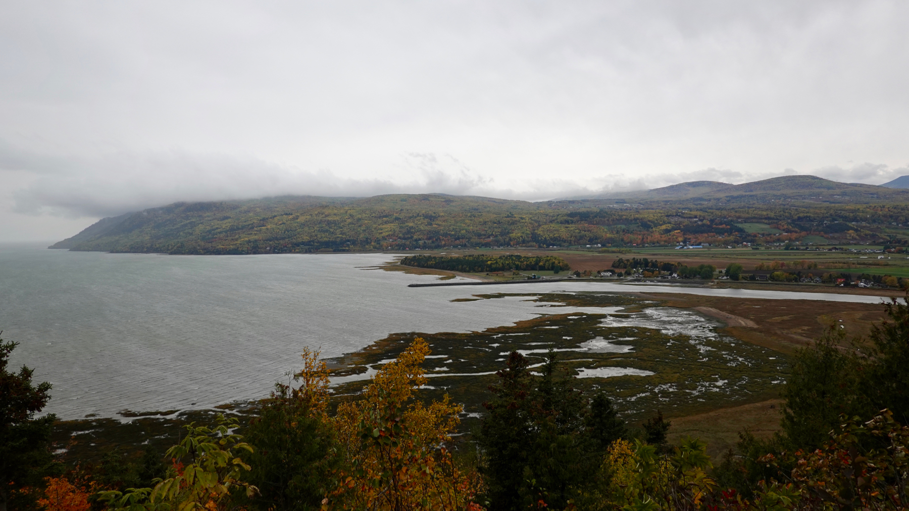
Clearly, the tide was out at the mouth of the Gouffre.
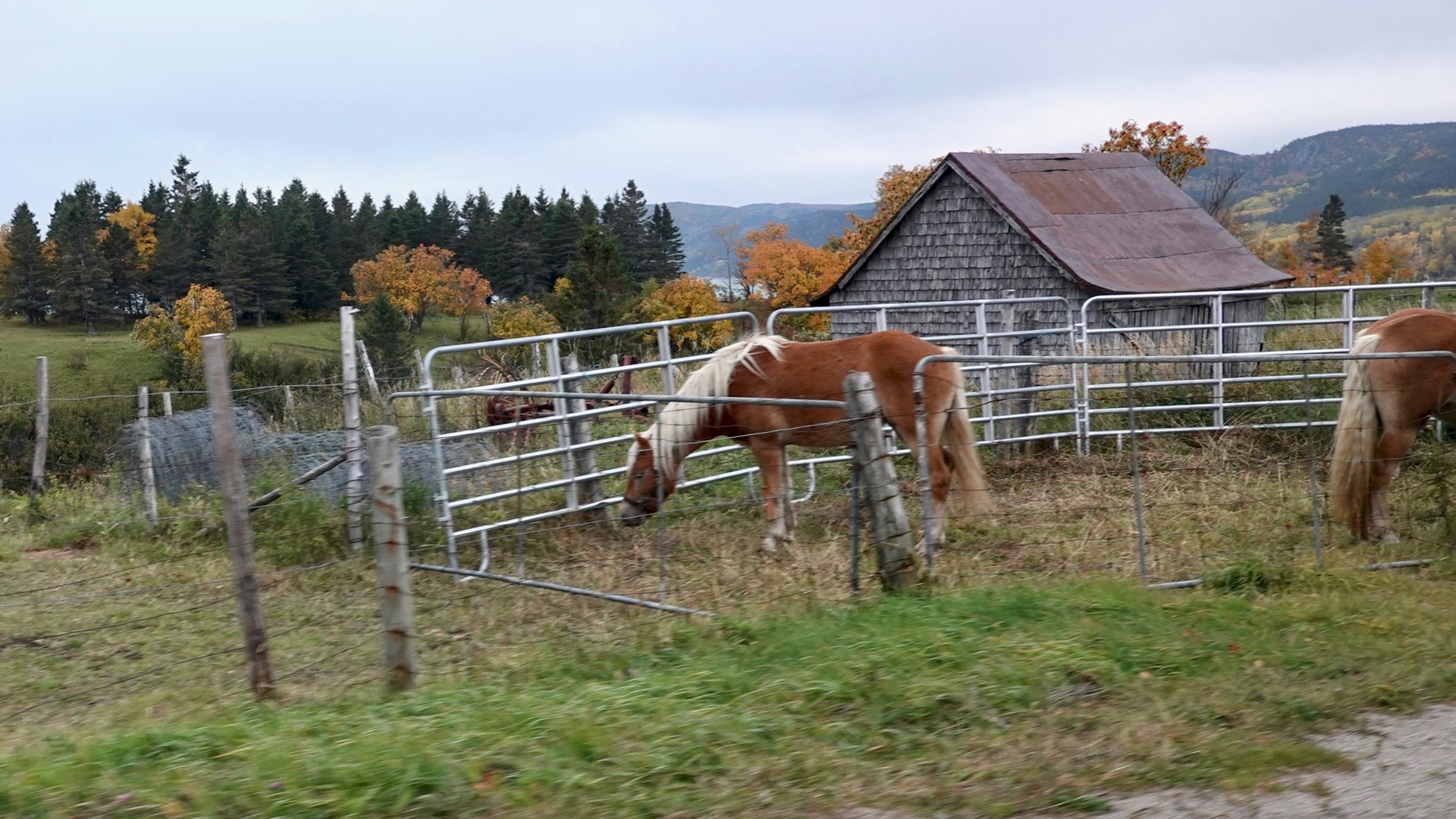
Some agriculture…all the horses I saw may have been draft horses….
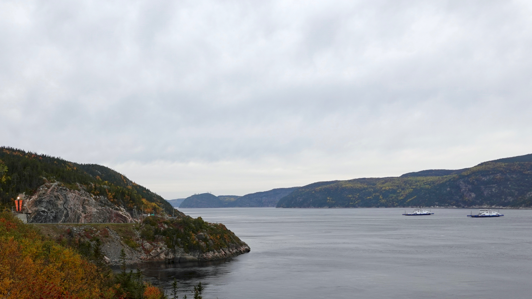
We turned around where our next move would have been taking a ferry. You are looking at the mouth of the Saguenay River. This is a gen-you-wine fjord. We’ll have to come back to explore the fjord inland. Note the navigation light far left.
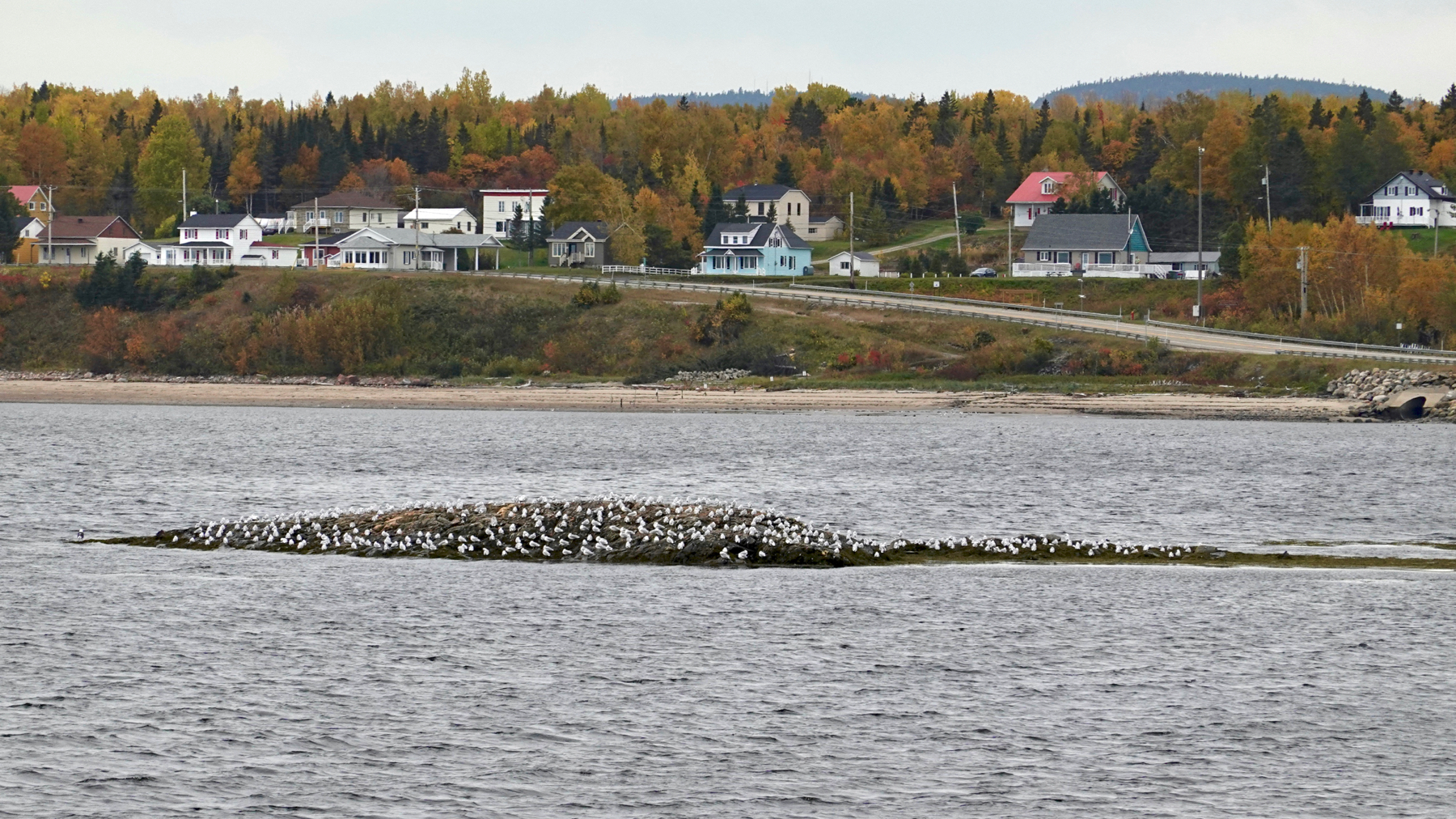
Tide’s still out. Gulls resting on temporary island.
Definitely some clearing. Definitely still clouds.
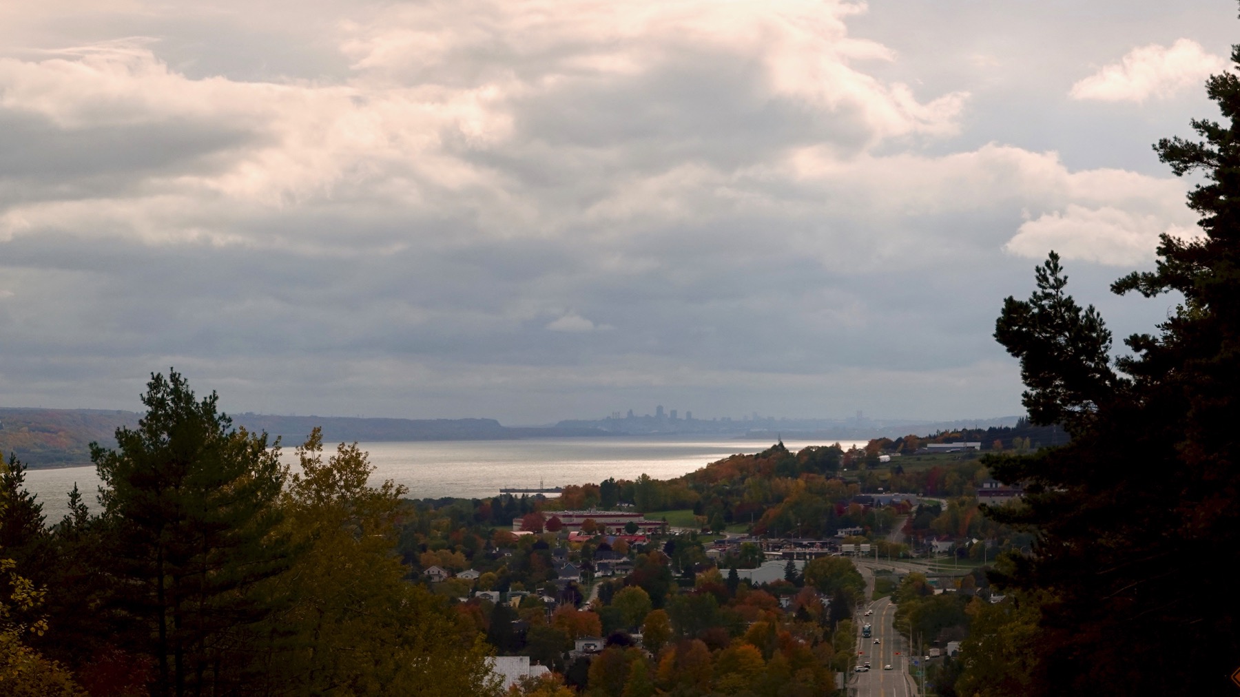
There’s Q-town on the skyline around the curve of the St. Lawrence River. I think it’s a river here. What I was taught to call the St. Lawrence Seaway I now think of as a firth. But no one calls it that. Doesn’t really matter, however.
We circled around below the centre-ville to continue along the river, that is the St. Lawrence and not the St. Charles to the west. I’d call this lower town…[pause for internet research]…so do the locals.
Nice enough close to the day; we’ll head to centre-ville tomorrow!
Posted at 8:13 PM |
Comments Off on Fjord‼️
Many bridges usually mean many rivers, or at least, vertical terrain change. Here it is rivers.
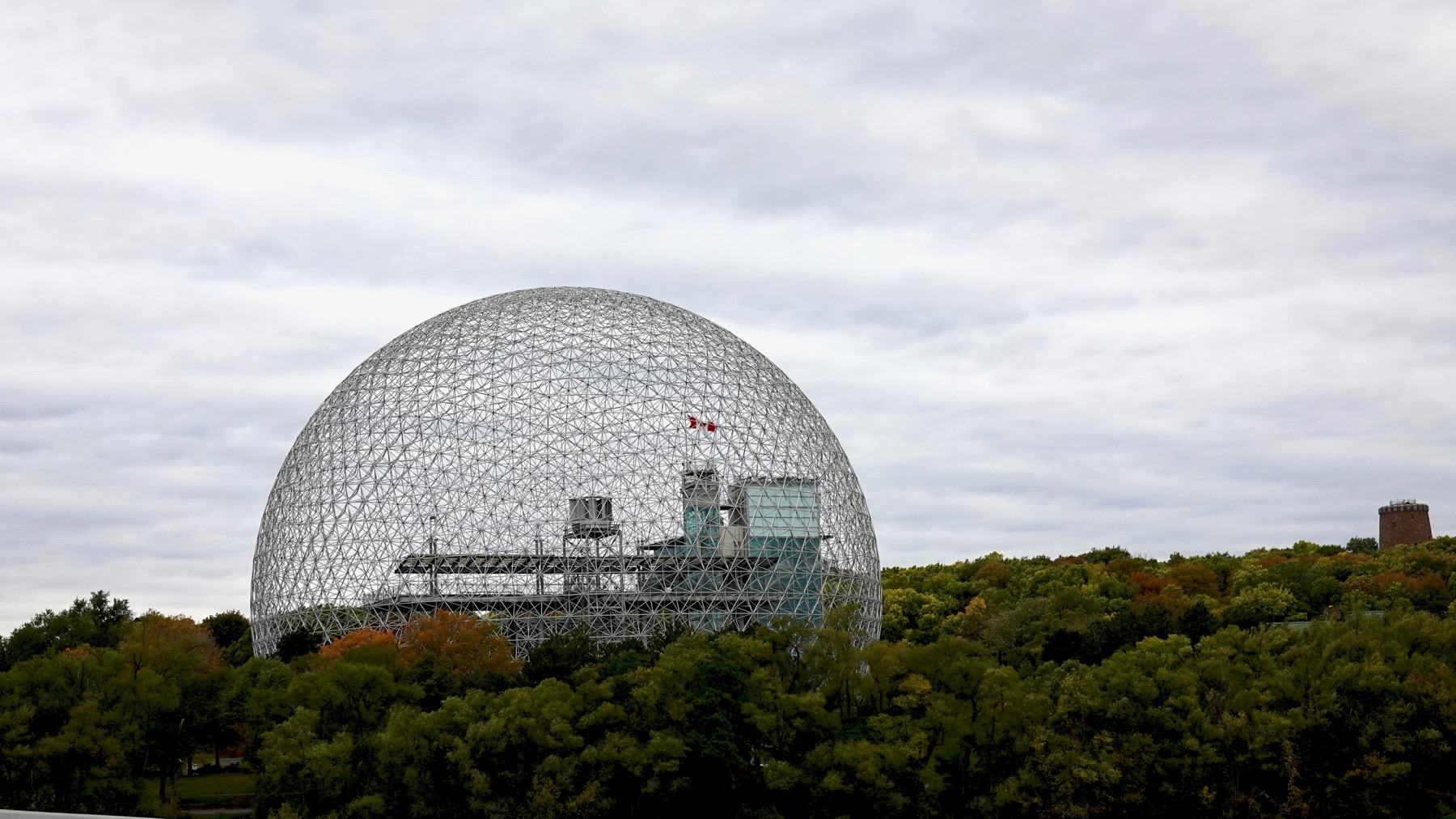
And bridges may lead to islands. Saint Helen’s Island was enlarged and modified for Expo 67. Most of the buildings are gone, and this is one large park. The iconic American Pavilion has become the Montréal Biosphère. Don’t know about the castle structure to the right—water tower?
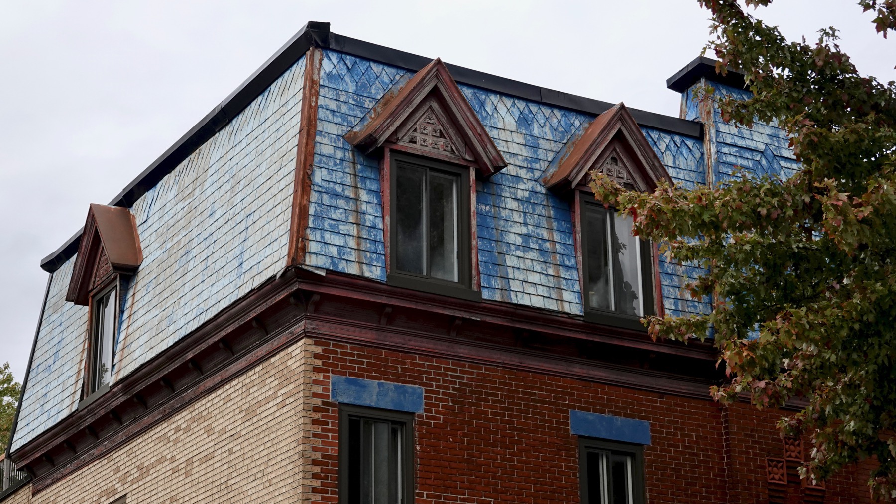
Blue? Nice touch. Is this a mansard roof—or merely mansard-like?
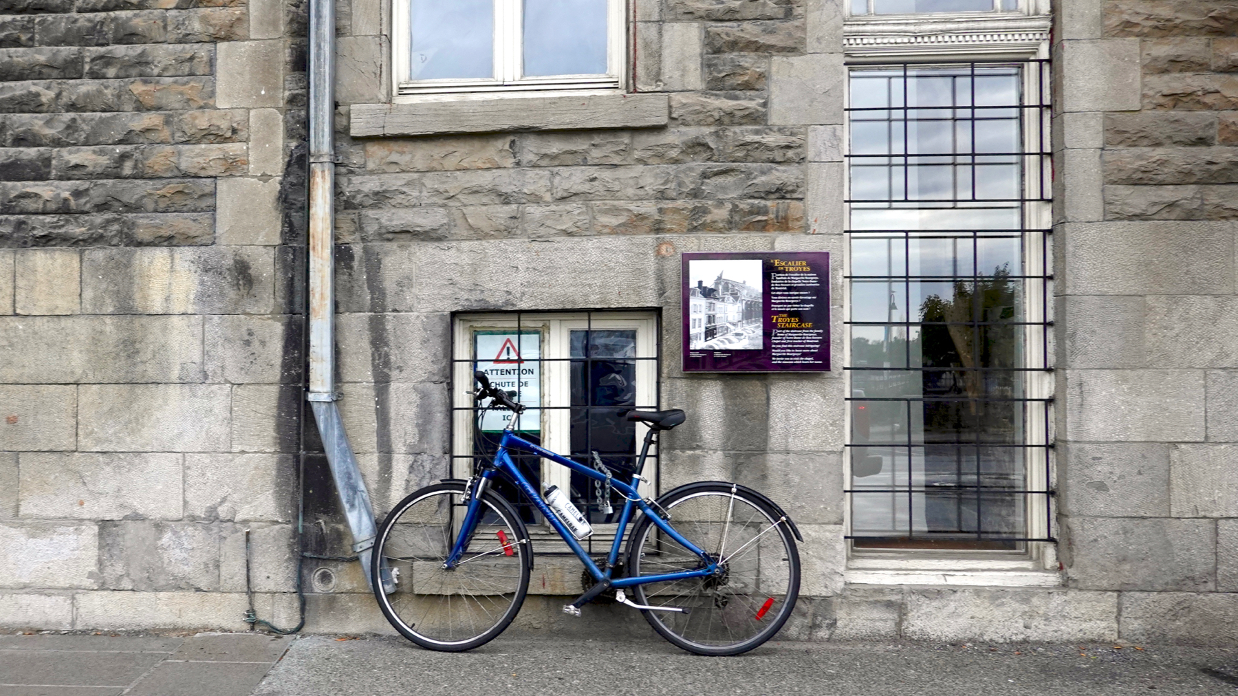
Like the ice warning sign behind the handlebar.
Elsewhere we saw a truck watering the street. My guess it’s part of the horse clean-up strategy.
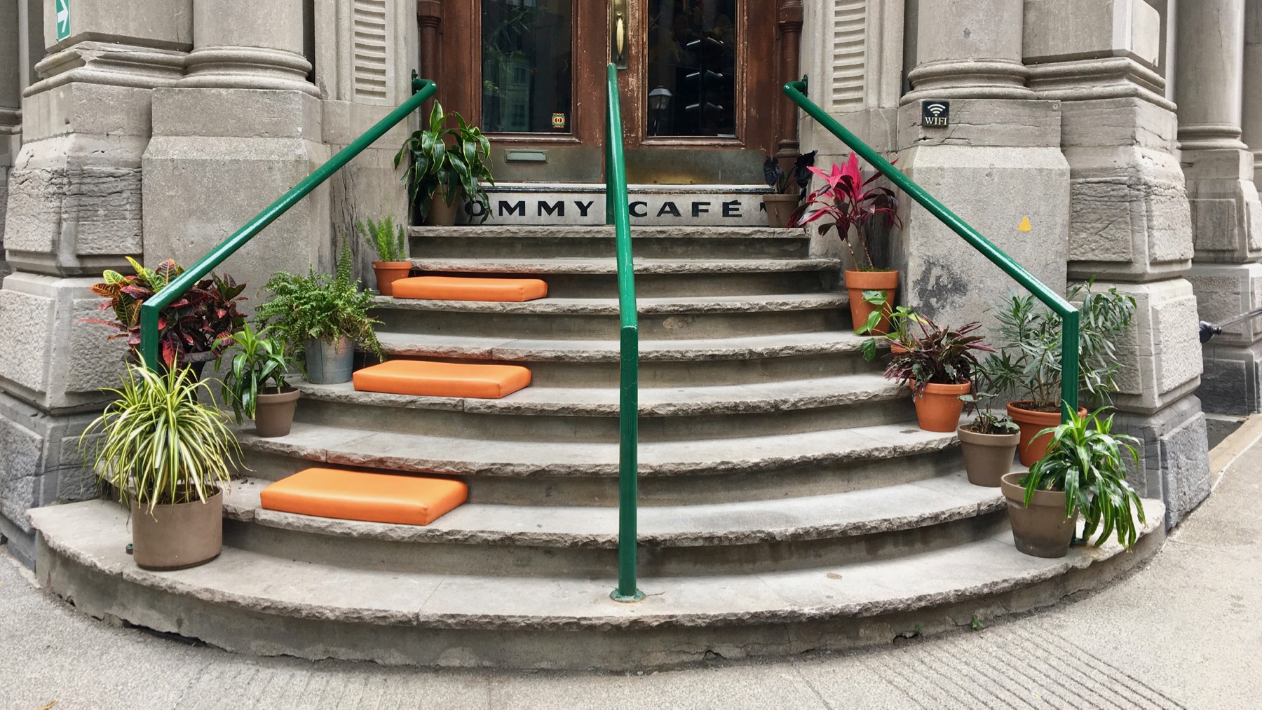
I think only the right door is in use, and the café has kindly offered seating for the unused half of the steps. This is in the old-town area.
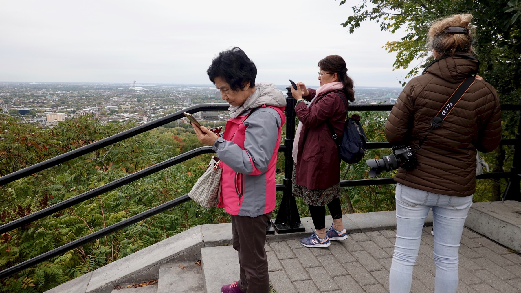
Overview drama: who can post to social media first?
That was a sample of our Montréal morning. We followed the Ottawa River downstream, taking a side tour of the large Île Saint-Ignace. Flat, duh. Many summer cottages with some age on them (small), and a few large, new ones. Considerable active farmland, especially soy, maize, and cattle grazing. And channels the river has abandoned.
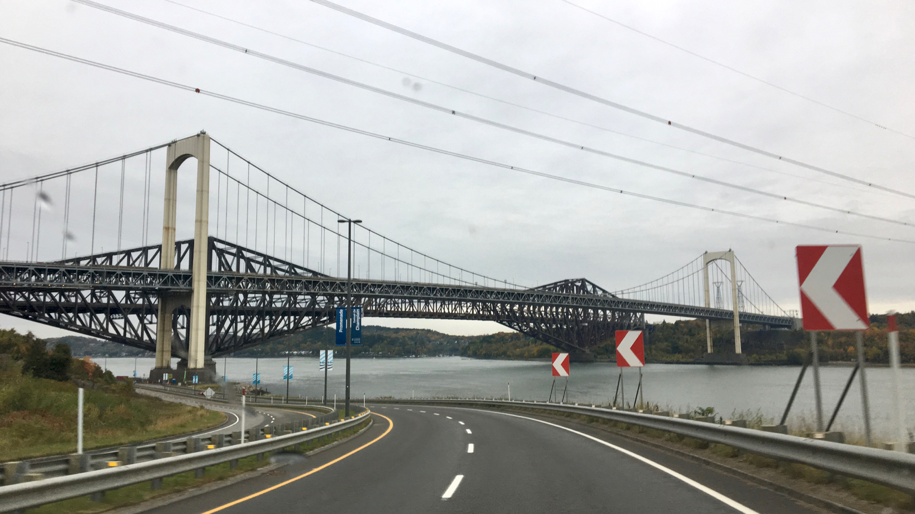
You are seeing two bridges visually conflated. Makes for an appearance of strange engineering.
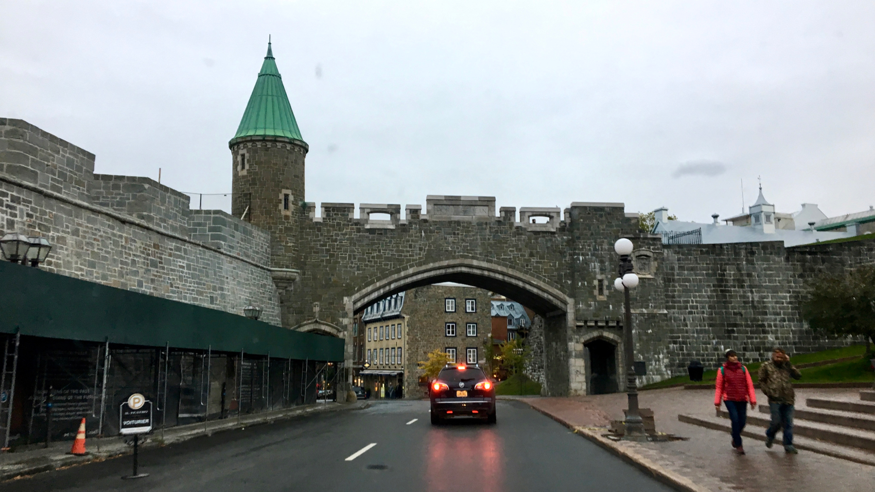
Haven’t seen a medieval-style city wall in a while. Welcome to old Quebec.
That statue left of center in the distance is of Samuel de Champlain. Colonialism honored.
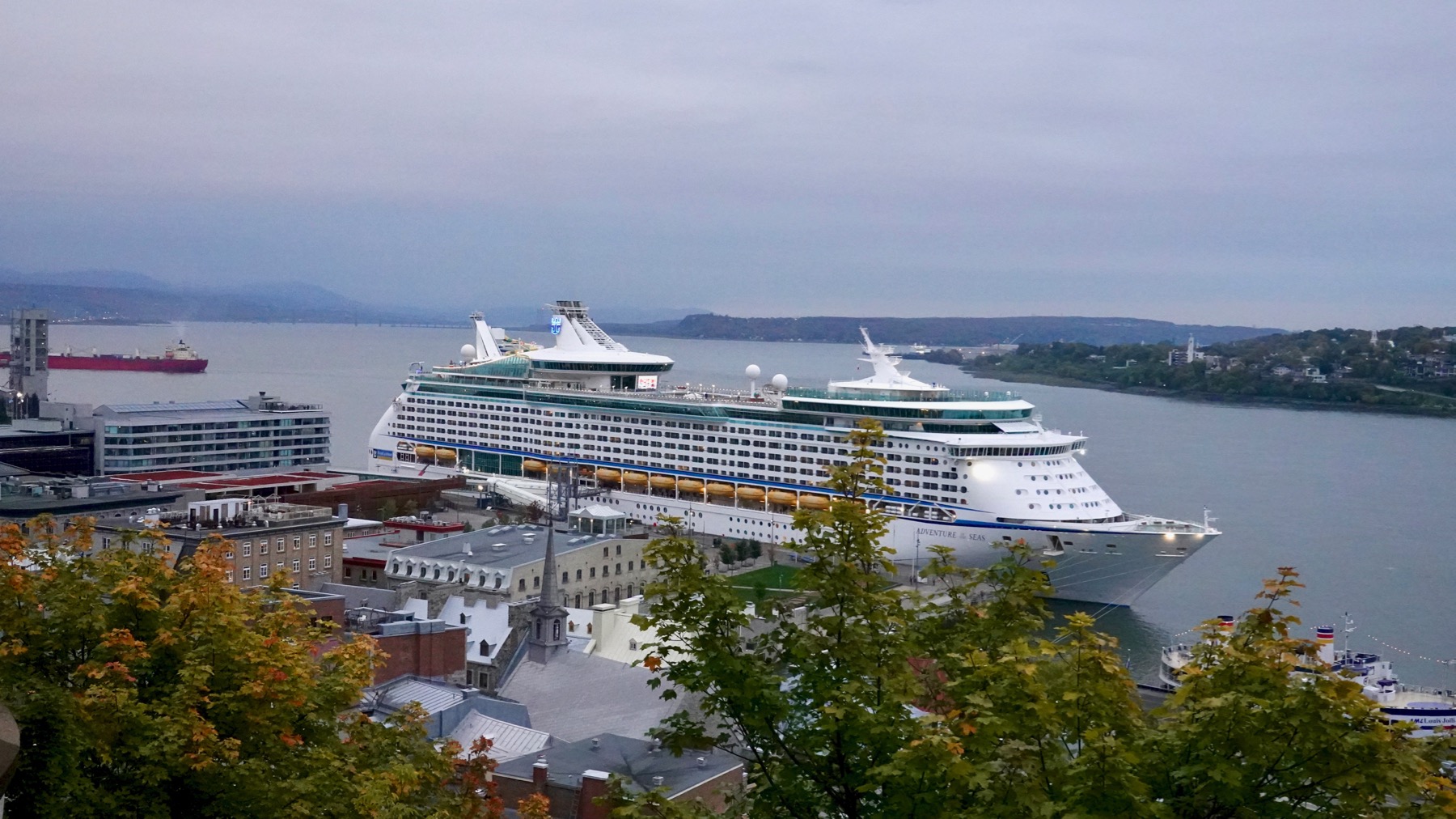
I am becoming not-a-fan of cruise-ship towns. This mammoth vessel had a giant screen on that upper deck displaying moving images constantly, because, why look over the railing at real life? Or at the clouds above?
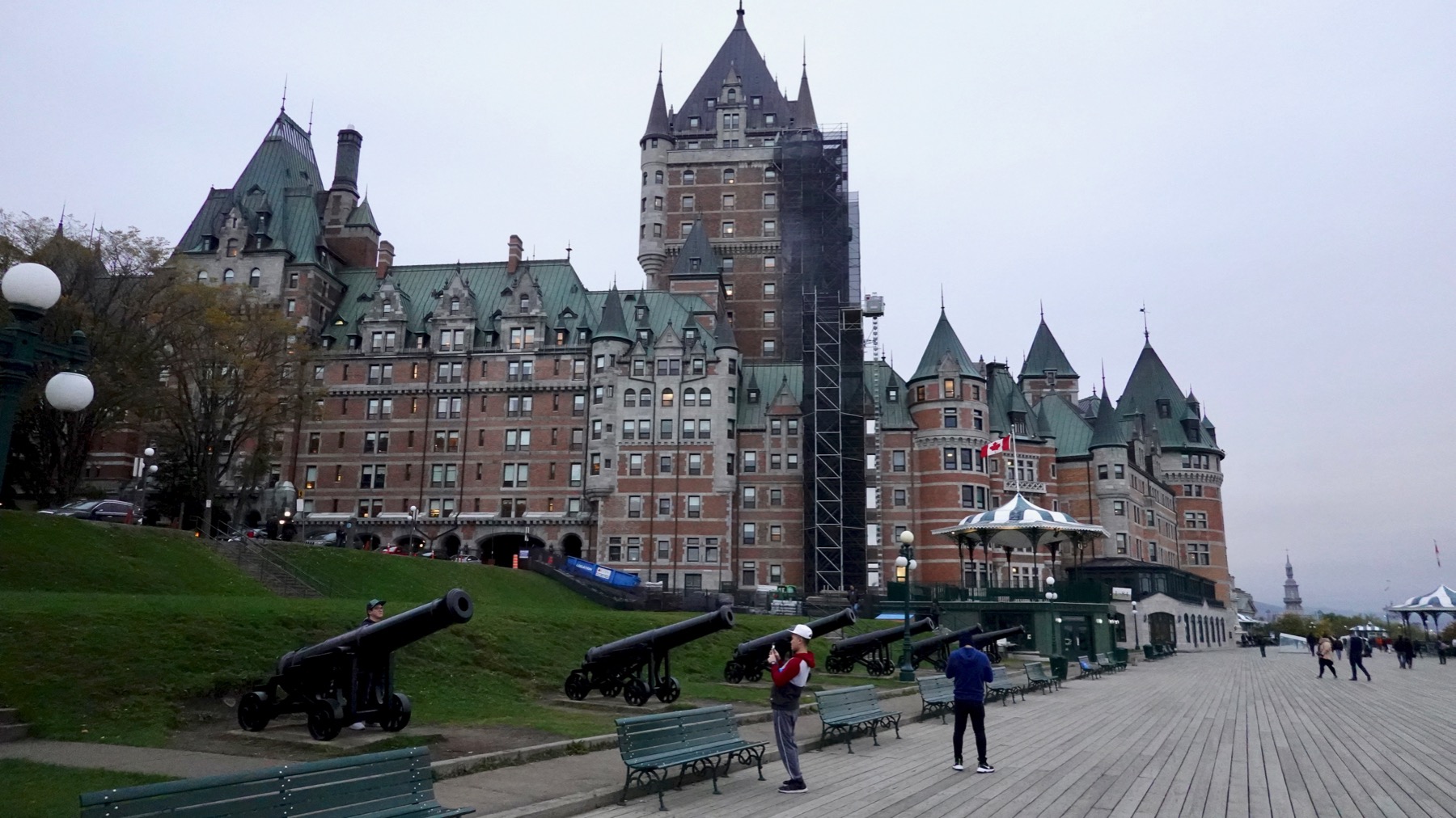
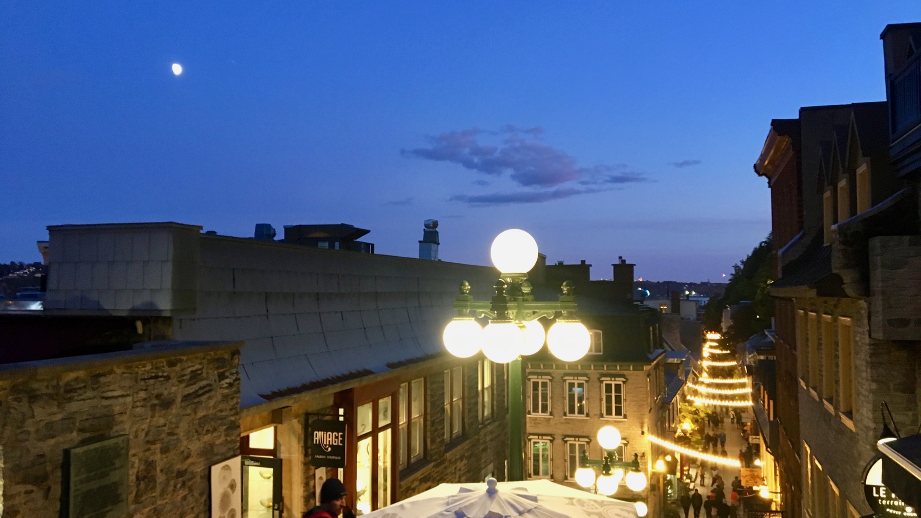
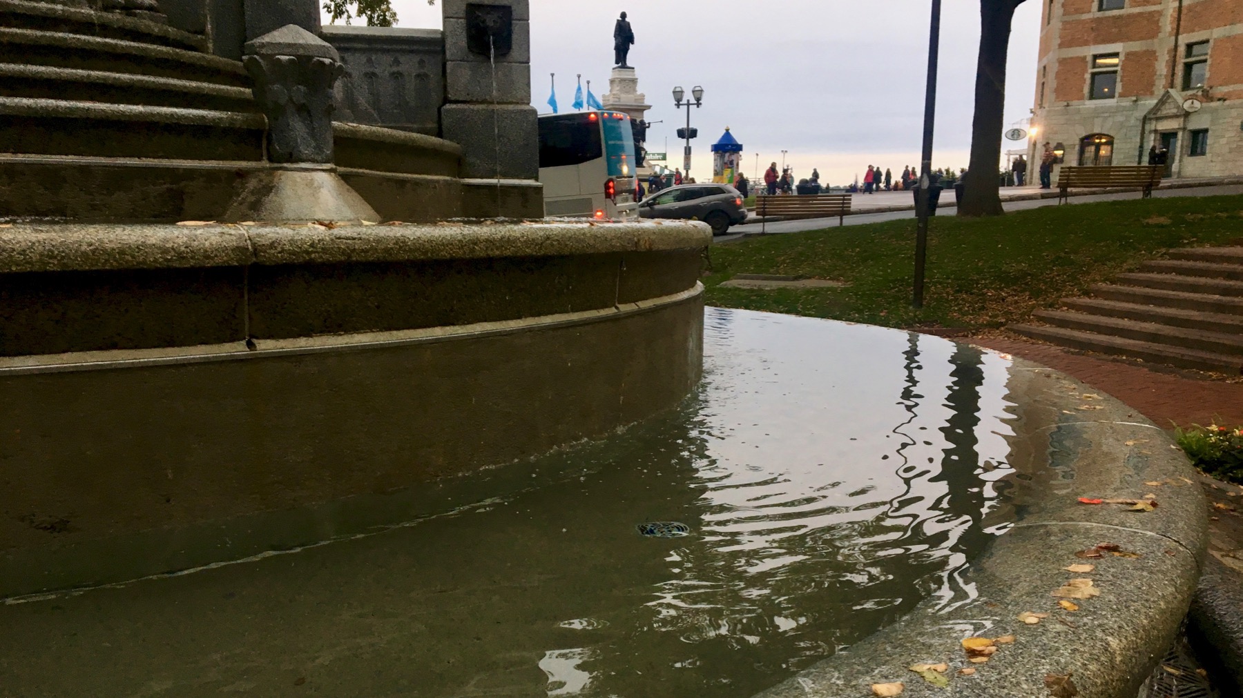
This is the famous Frontenac (now Le Château Frontenac), and we are standing on the Terrasse Dufferin, which amounts to a huge, high-elevation boardwalk. I expect we’ll follow up on the views we got through portals in the decking to excavated building remains below at the other end. This end has cannons and a closed-for-the-season toboggan ride with three lanes. And a fort above.
Posted at 10:22 PM |
1 Comment »
We started out under cloud cover, with a low line of light in the west that we drove toward. It wasn’t as dark as it looks here, even through my sunglasses.
See it’s clearing and brighter. We saw several ponds in low spots the glacier sculpted in the bedrock of the Canadian Shield sporting beaver houses, like this (left). The rock mostly dates to the long-ago and enduring Precambrian.
We stopped in North Bay because it is used for many locations for “Cardinal,” a Canadian police detective from books by Giles Blunt, made into a TV series starring Billy Campbell as John Cardinal, also with the excellent Karine Vanasse.
This was historically known as the Rapids of the Upper Ottawa. The many rapids in this section of the Ottawa extending to the west made it time consuming to use this river route (through Lake Nipissing and into Georgian Bay) as a bypass to going all the way through Lake Erie, Lake St Clair, etc. This section was particularly troublesome, and many died in the rough waters. In 1950, these rapids were tamed by the dam at Rapides-des-Joachims some 30 miles downstream. They look placid now, ¿no?
With dusk, the half-moon is brilliant. Pardon. [Nous sommes au Québec maintenant.] La demi-lune est brillante.
Posted at 9:51 PM |
1 Comment »
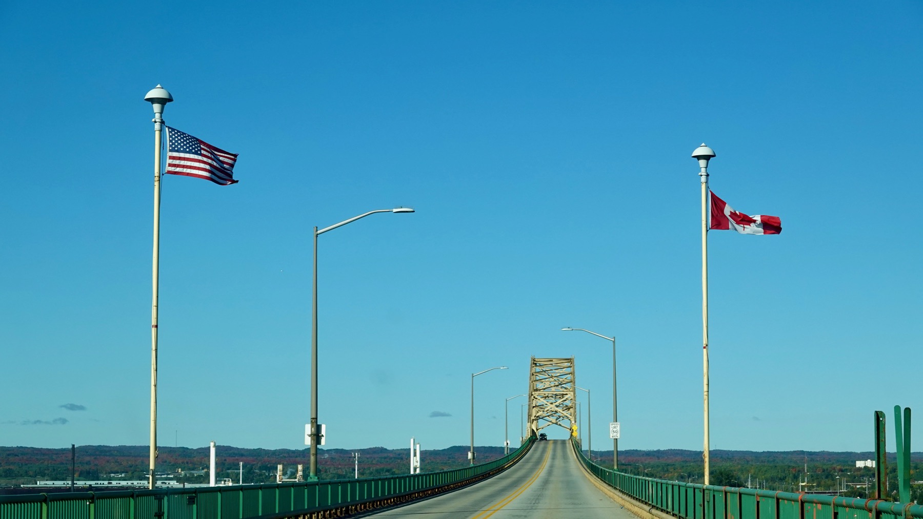
Puzzle of the day: parse the flags.
Here’s a clue: Canadian fall color [some spots were even more autumnal].

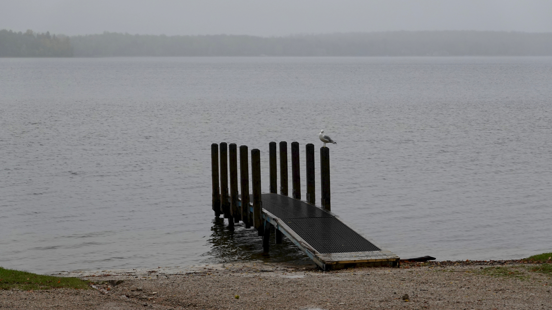
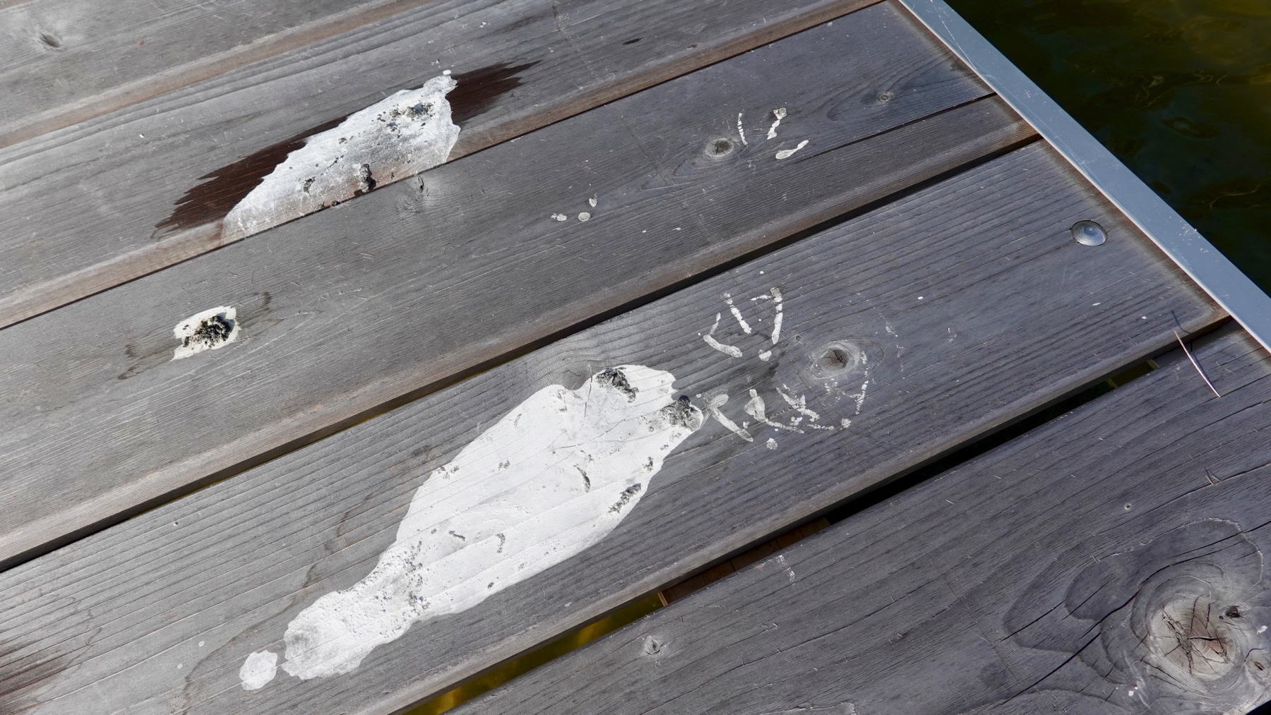
Lake Huron gulls on a marina dock.
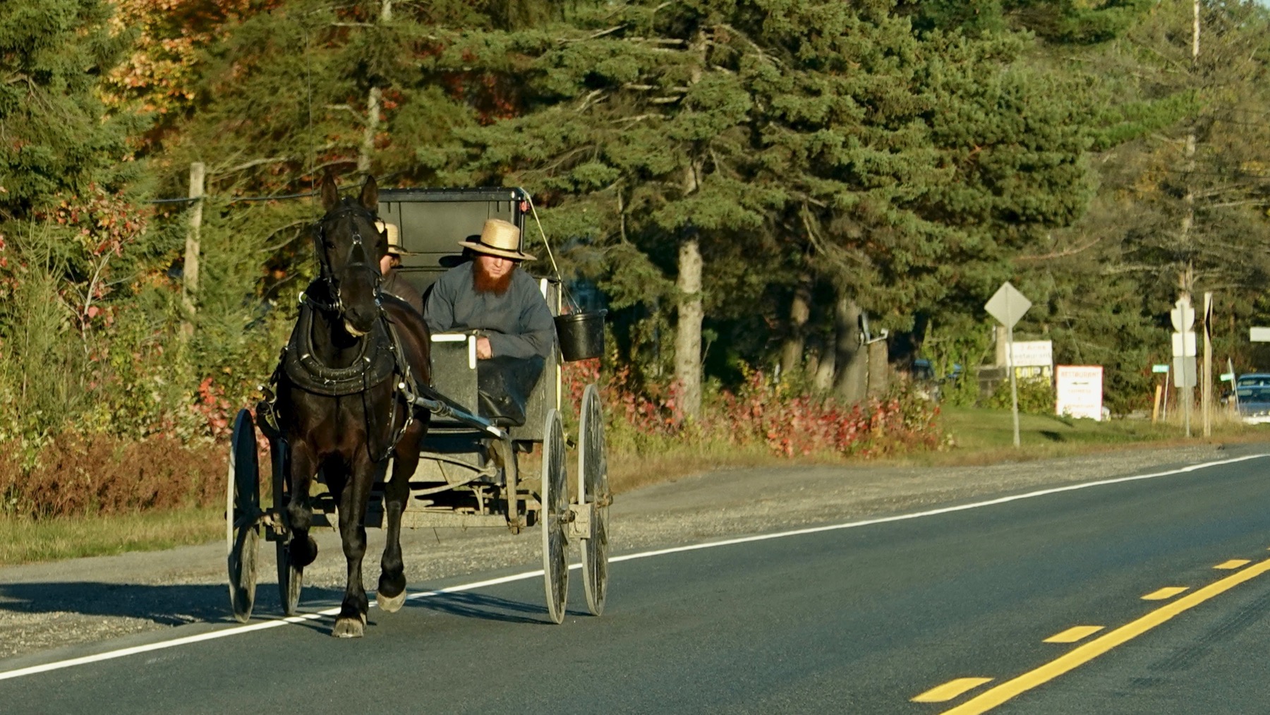
We saw many buggy-icon signs, and could see the shoulder was well-used (and, umhem, decorative road apples), and finally we spotted buggies. The first two each had a lone woman, wearing a large black tightly tied scarf. This one was a pair of beard-guys. The fourth was a solo beard-guy. No kids, but I’m guessing there were dozens at home! [Perhaps I exaggerate.]
Posted at 7:30 PM |
Comments Off on Change of scenery
I am proud of my tolerance 😀 for today’s murkiness (never any sunshine). I am glad to hear that the high of 98°F that Atlanta and many other places in the Deep South endured today will be tempered within a week or so.
Posted at 9:24 PM |
Comments Off on Climate ∆

Overcast this morning yielded to a bright sunny afternoon, perfect for spending time on the porch and a visit to the beach (no swim, though!).
Gulls or ducks? I’m betting gulls. They are…productive. And there was small flock floating out a ways, white heads made brilliant by the…sun!
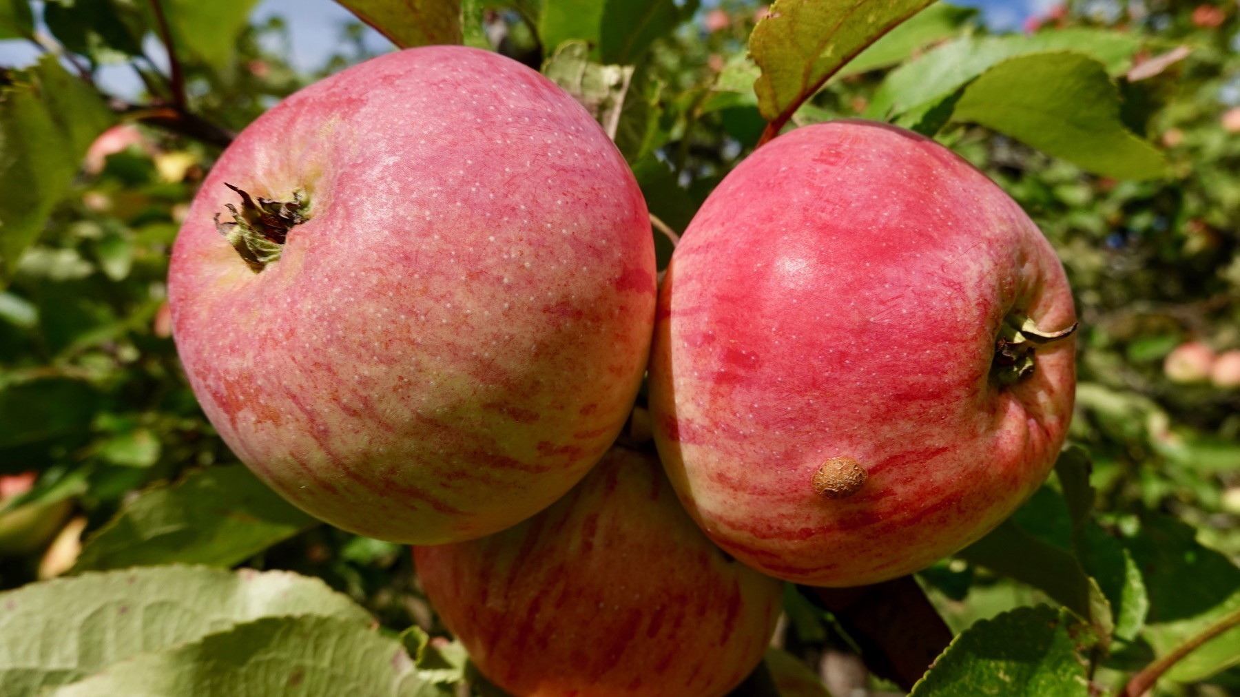
Apples are ripening here. Here, after all, is an orchard.
Posted at 7:57 PM |
Comments Off on Decorations